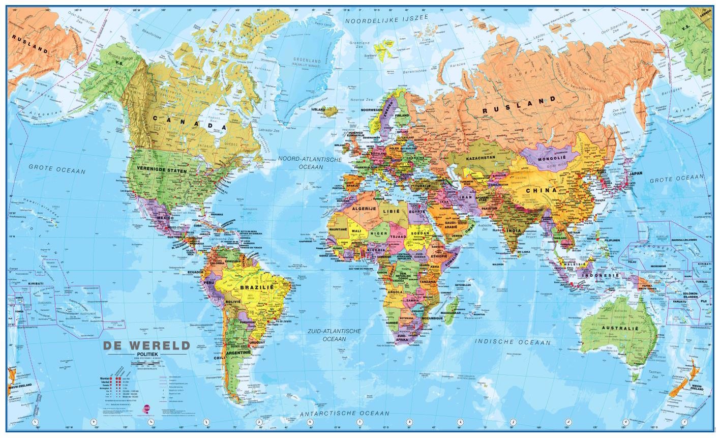
Informatieve natuurkundige wereldkaart (Engelstalig). Goede combinatie van de natuurkundige aspecten en de belangrijkste politieke details van landen, steden en verbindingen.
De geplastificeerde kaart wordt geleverd met blank houten stokken aan de boven- en onderzijde, zoals we die uit het klaslokaal nog wel kennen. Aan de bovenstuk zit een linnen koord waarmee de kaart eenvoudig aan een flinke spijker of schroef kan worden opgehangen.
Excellent relief shading presents the mountainous areas in almost 3-D effect. Peak symbols help to identify the highest mountain on each continent or in various countries. 18 different combinations of colouring and graphics show various types of vegetation and terrain: tundra and glaciers or ice caps; coniferous, mixed or rain forests; savannah, grassland or steppe; sand or rocky deserts, lava fields and salt lakes, arable land, etc.
Country names and their boundaries are clearly displayed, with town symbols indicating national and, where possible, state or provincial capitals. Within USA, Canada, Brazil and Australia state or provincial boundaries are also shown.
On oceans, in addition to different shades of colouring, numerous depth figures are provided. Central Pacific, from Siberia/Alaska to New Zealand, is repeated on both sides of the map for better presentation of that region. Clocks indicate time difference from GMT (but without the maps showing the exact geographical area covered by each time zone). Projection is Van der Grinten.