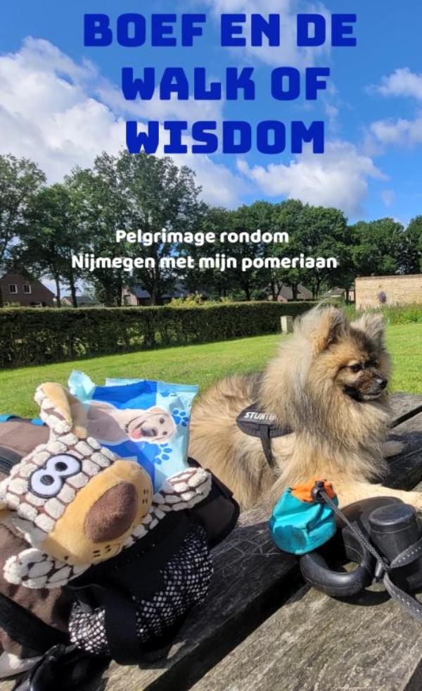
Reisverhaal Boef en de Walk of Wisdom | Anna-Maria Carbonaro
€ 15,- De Zwerver →


Nog eerder dan de eerste auto, fiets, tram of het motorvliegtuig was er de trein. Op 26 september 1825 maakte de s…
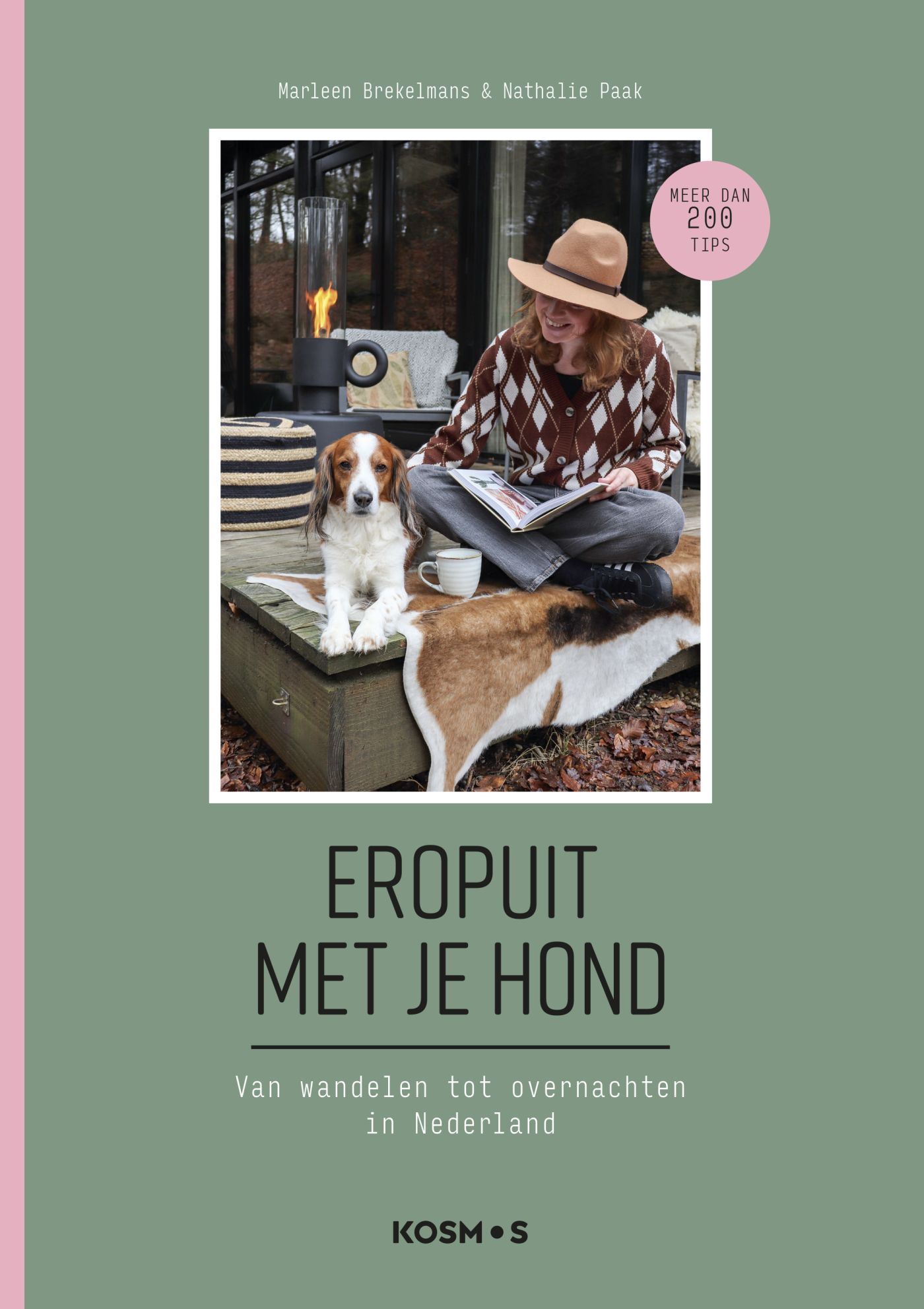
Ga je graag op pad met je hond? Dan mag deze gids niet ontbreken in je boekenkast! Vrijetijdsexpert Marleen Brekel…