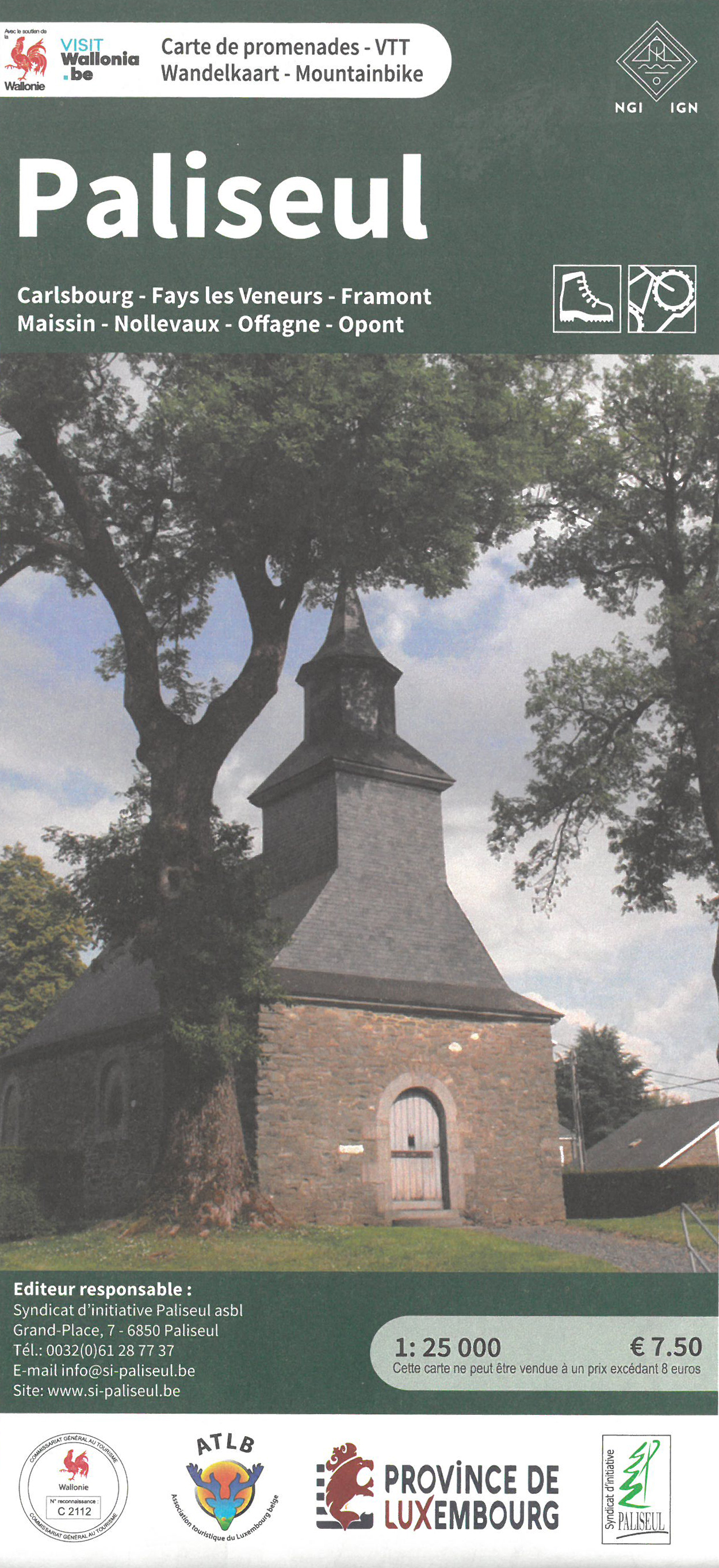
Wandelkaart 022 Paliseul | NGI - Nationaal Geografisch Instituut
€ 10,-Wandelkaart en mountainbike-kaart in één van de gemeente Paliseul in de Belgische provincie Luxemburg. Op beide zi…
De Zwerver →
Wandelkaart en mountainbike-kaart in één van de gemeente Paliseul in de Belgische provincie Luxemburg. Op beide zi…
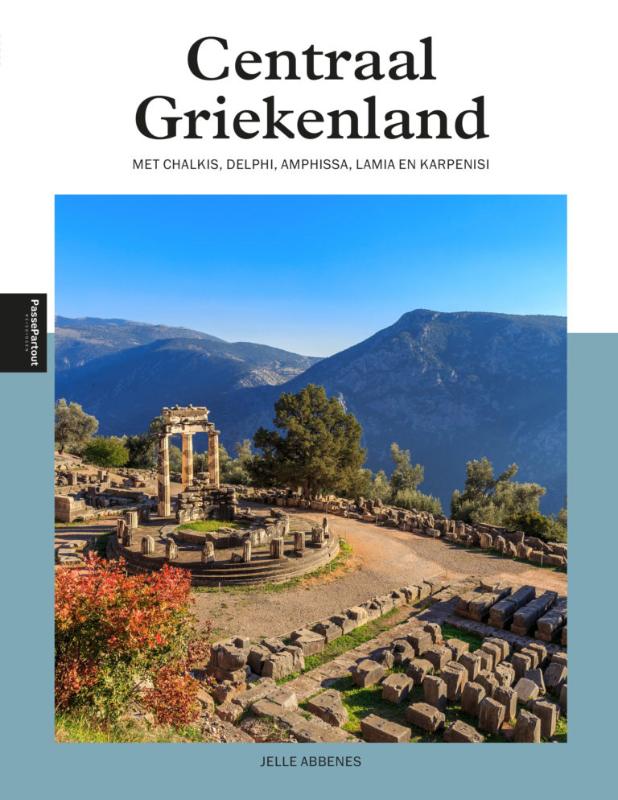
Bij Centraal Griekenland denkt iedereen direct aan Delphi, het schitterende orakel van de god Apollo. En terecht! …
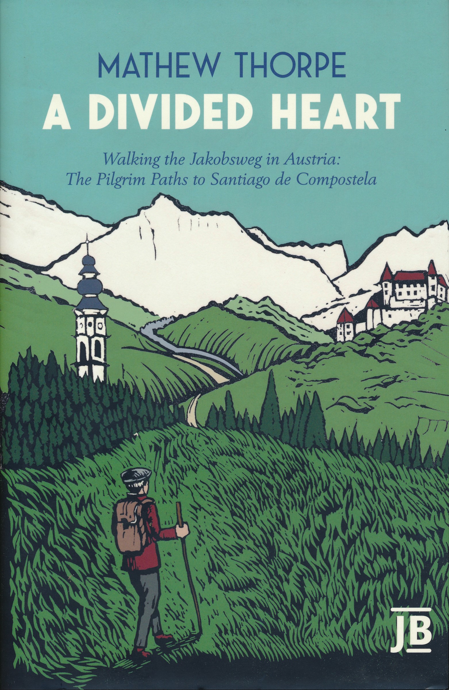
In dit reisdagboek beschrijft Mathew Thorpe zijn tochten over de Oostenrijkse Jakobswegen, onderdeel van de pelgri…
Voor vele landen net zo goed, zo niet beter dan de Planet. Beduidend soberder uitgevoerd, maar ook met veel inform…
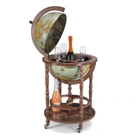
Met zijn rustige kleur is deze globe uitstekend geschikt voor een groot aantal omgevingen. Zowel tussen antieke bo…
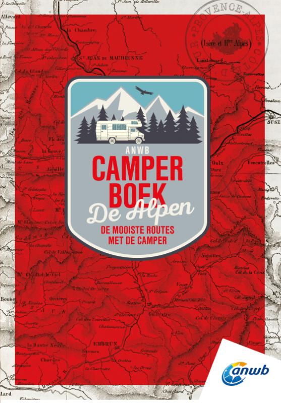
Eropuit trekken met de camper is de afgelopen jaren bij veel mensen steeds populairder geworden. Vakantiegangers z…
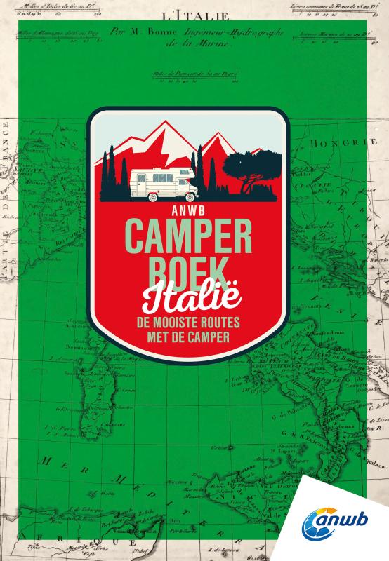
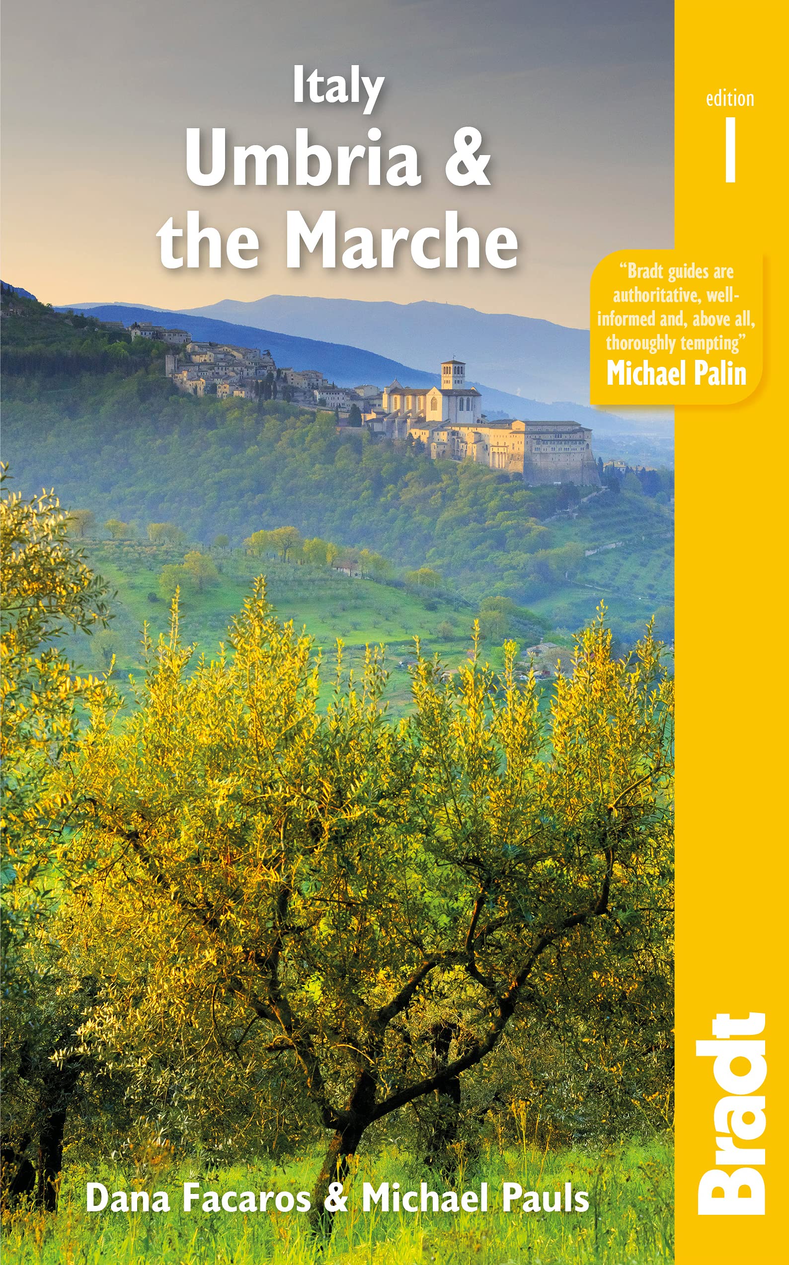
Een vakantie naar Italië is bij veel mensen populair. En de afgelopen jaren trekt de liefhebber van het dolce far …
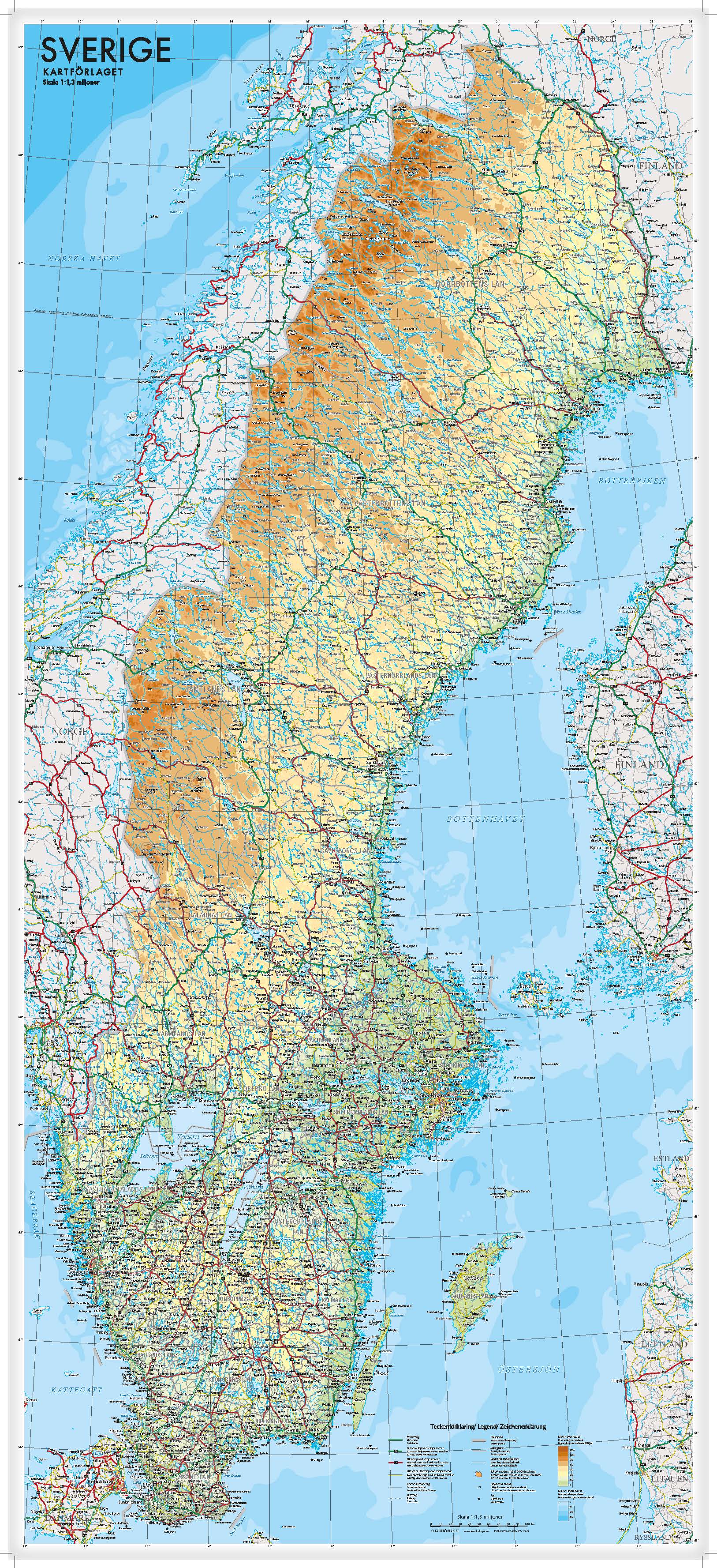
Een wandkaart van Zweden in een iets kleiner formaat om aan de muur te hangen. Decoratieve kleuren laten verschill…
Goede wandelkaart met vrijwel alle topografische details als hoogtelijnen, vegetatie, schaduwtekening maar ook de …

From Lonely Planet, the world's leading travel guide publisher Durable and waterproof, with a handy slipcase and …