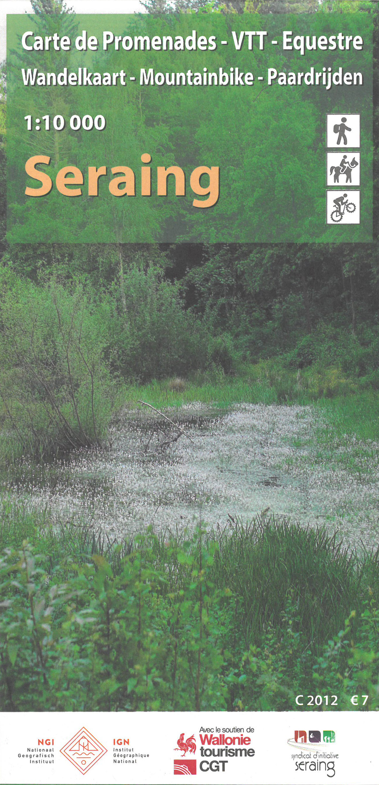
Wandelkaart 204 Seraing | NGI - Nationaal Geografisch Instituut
€ 9,-Wandelkaart van Seraing Goede wandelkaart op basis van een topografische ondergrond. Deze toeristische wandelkaar…
De Zwerver →
Wandelkaart van Seraing Goede wandelkaart op basis van een topografische ondergrond. Deze toeristische wandelkaar…
Monocle reports from around the globe in print, on radio, and online. As its editors and correspondents dart from …
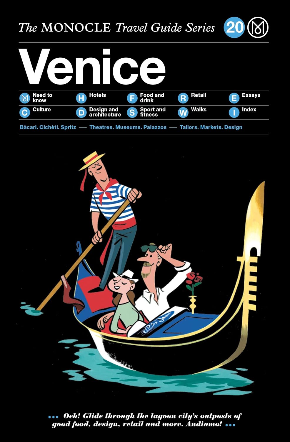
Like the tide that laps knee-high against its fine palazzos, Venice is ever-changing. Since its bog-like beginning…
The definitive travel guides that make you feel like a local wherever you go. Monocle reports from around the glob…
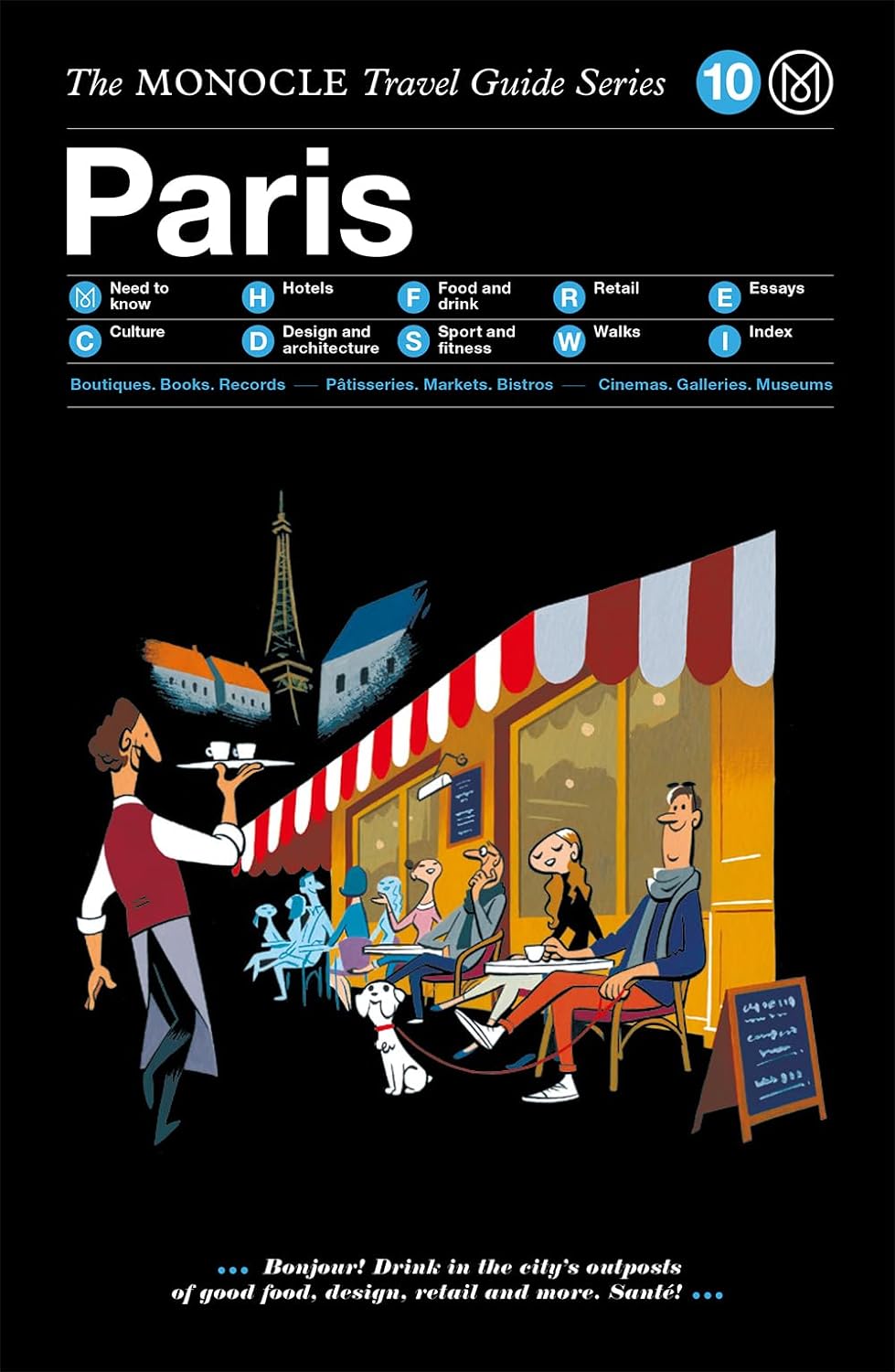
There's the food, the culture, the architecture, the art--Notre Dame and Montmartre and the Louvre--and then there…
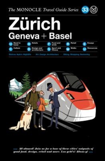
Snowy peaks rising above city skylines, wandering cows jewelled with tinkling bells, gooey strings of cheese stret…
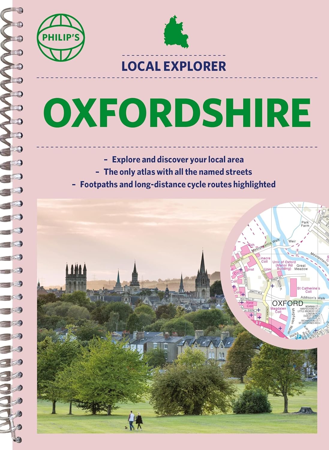
Who hasn't explored and enjoyed their surrounding area in recent years and come to appreciate what is on our respe…
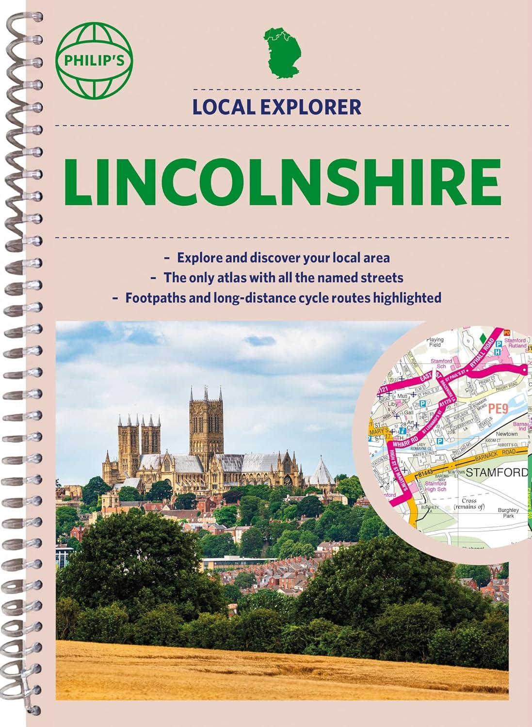
Who hasn't explored and enjoyed their surrounding area recently and come to appreciate what is on our respective d…
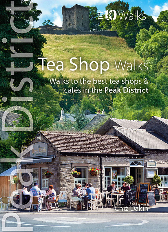
The Peak District abounds with cafes and tea shops offering fabulous, freshly brewed coffee and a mouthwatering va…