Reisgids ANWB Wereldreisgids Spanje-noord | ANWB Media
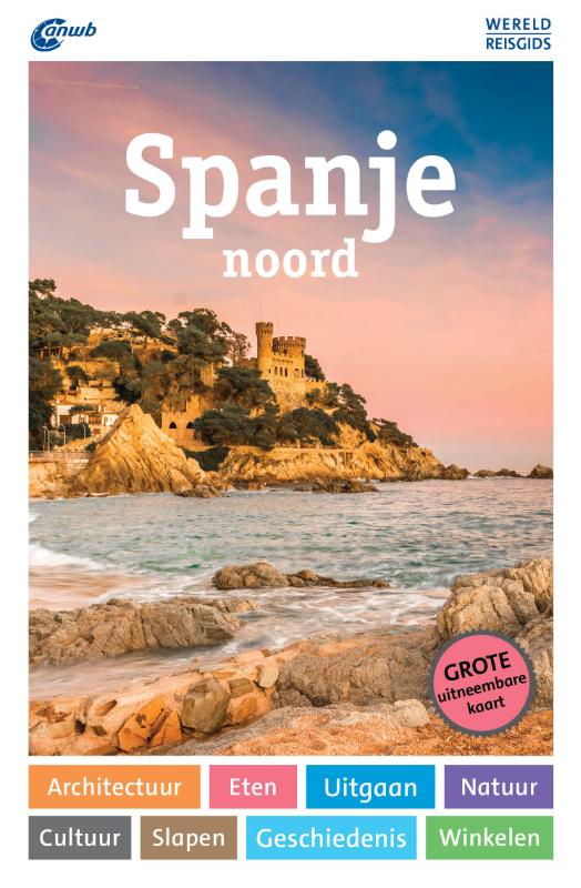
€ 33,-ANWB Wereldreisgids Spanje noord De ANWB Wereldreisgids Spanje noord is een complete en praktische reisgids voor j…
De Zwerver →
ANWB Wereldreisgids Spanje noord De ANWB Wereldreisgids Spanje noord is een complete en praktische reisgids voor j…
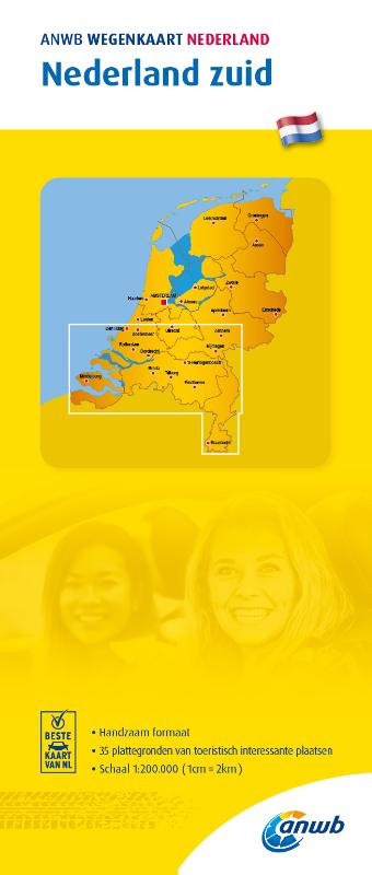
ANWB Wegenkaart Nederland - Zuid Voor iedereen die graag goed voorbereid naar en door het zuiden van Nederland rij…
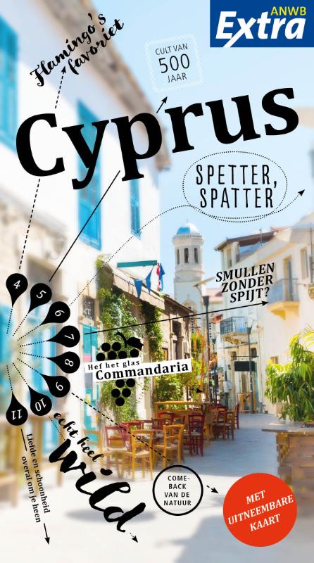
ANWB Extra reisgids Cyprus Ontdek Cyprus met de compleet vernieuwde reisgids ANWB Extra Cyprus! In de loop van dui…

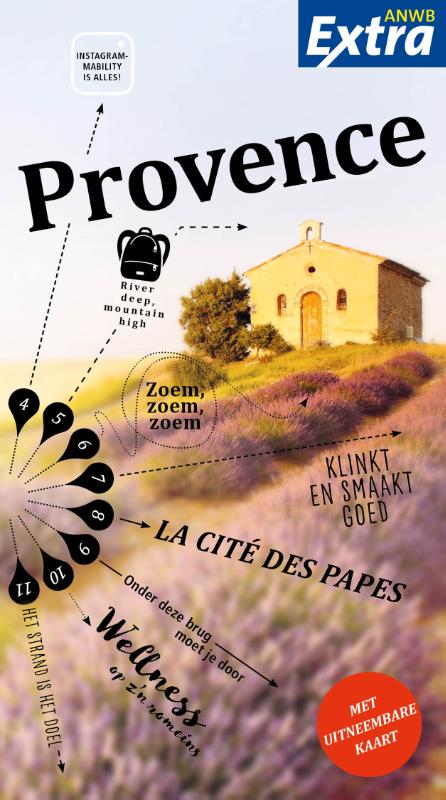
ANWB Extra reisgids Provence – Frankrijk Ontdek de Provence met de compacte reisgids ANWB Extra Provence. De Prove…
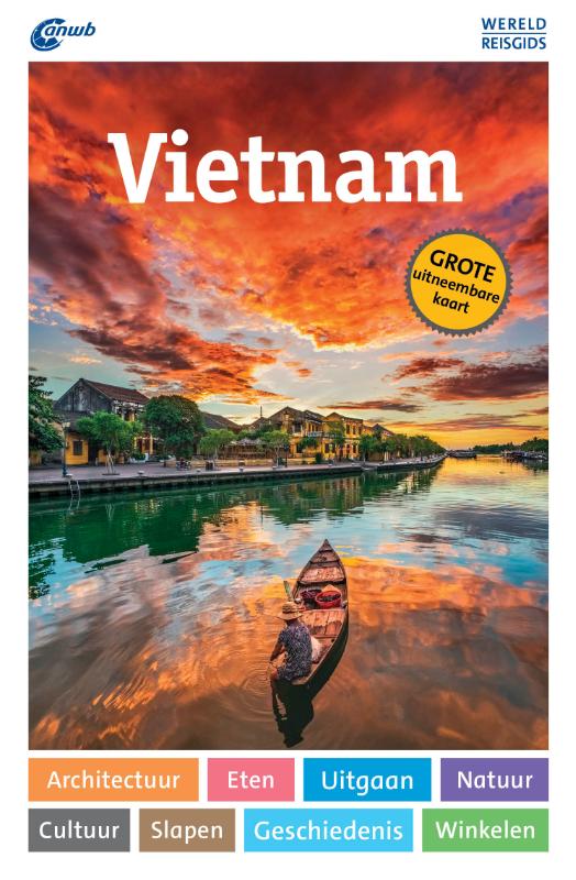
ANWB Wereldreisgids Vietnam De ANWB Wereldreisgids Vietnam is compleet vernieuwd! Het land van schilderachtige ber…

ANWB Extra reisgids Praag – Tsjechië Ontdek Praag met de compleet vernieuwde reisgids ANWB Extra Praag! Met zijn p…
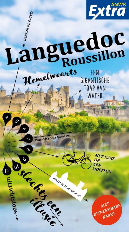
ANWB Extra reisgids Languedoc-Roussillon - Frankrijk Beleef Languedoc-Roussillon met de compleet vernieuwde reisgi…