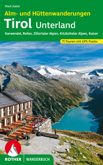
Wandelgids Tirol Unterland | Rother Bergverlag
€ 20,-Almen und Hütten sind beliebte Ziele für eine Wanderung - und das zu Recht! Wie herrlich, wenn man nach einem Aufs…
De Zwerver →
Almen und Hütten sind beliebte Ziele für eine Wanderung - und das zu Recht! Wie herrlich, wenn man nach einem Aufs…
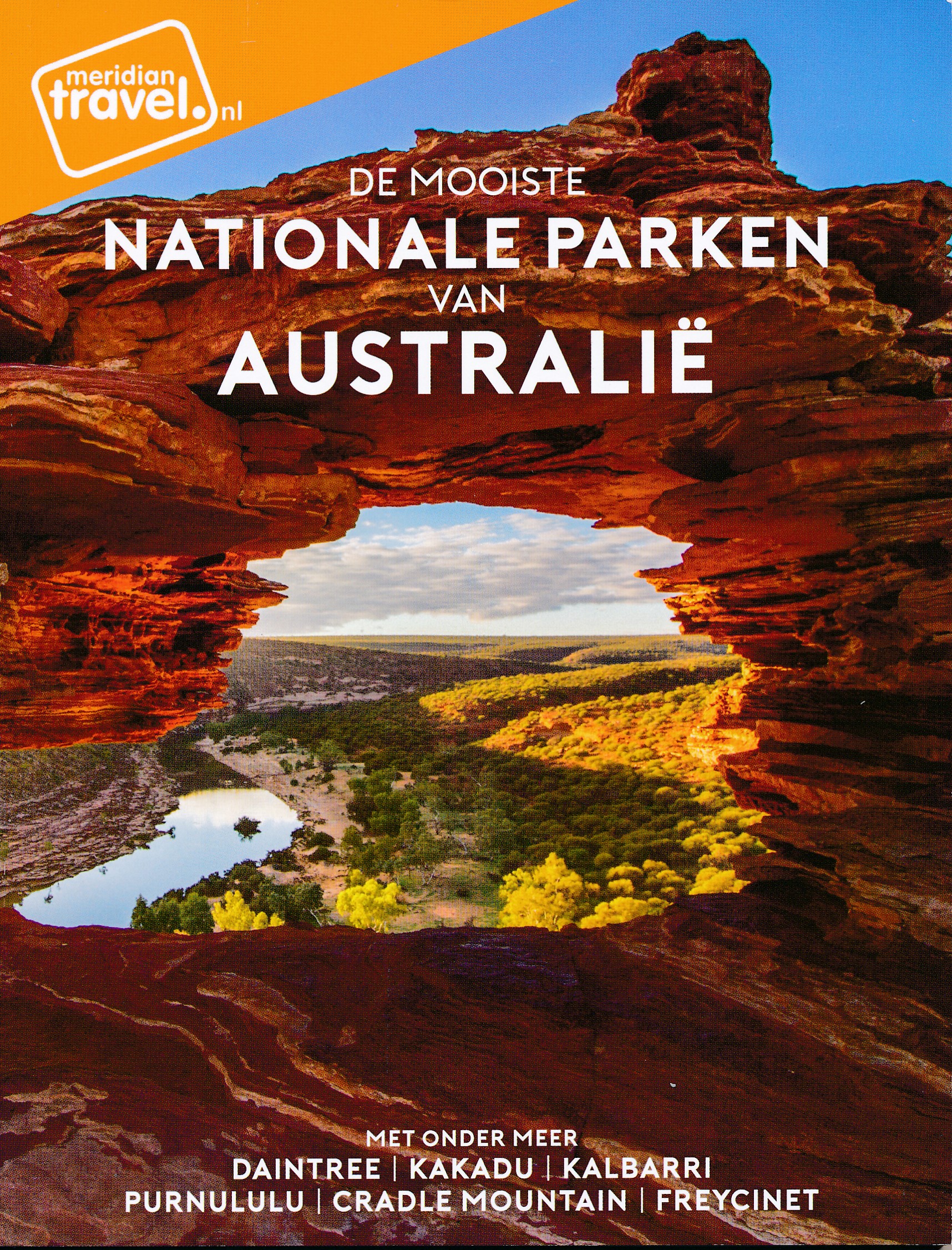
Informatieve en inspirende reisgids met reportages, praktische tips en achtergronden over een selectie van de mooi…
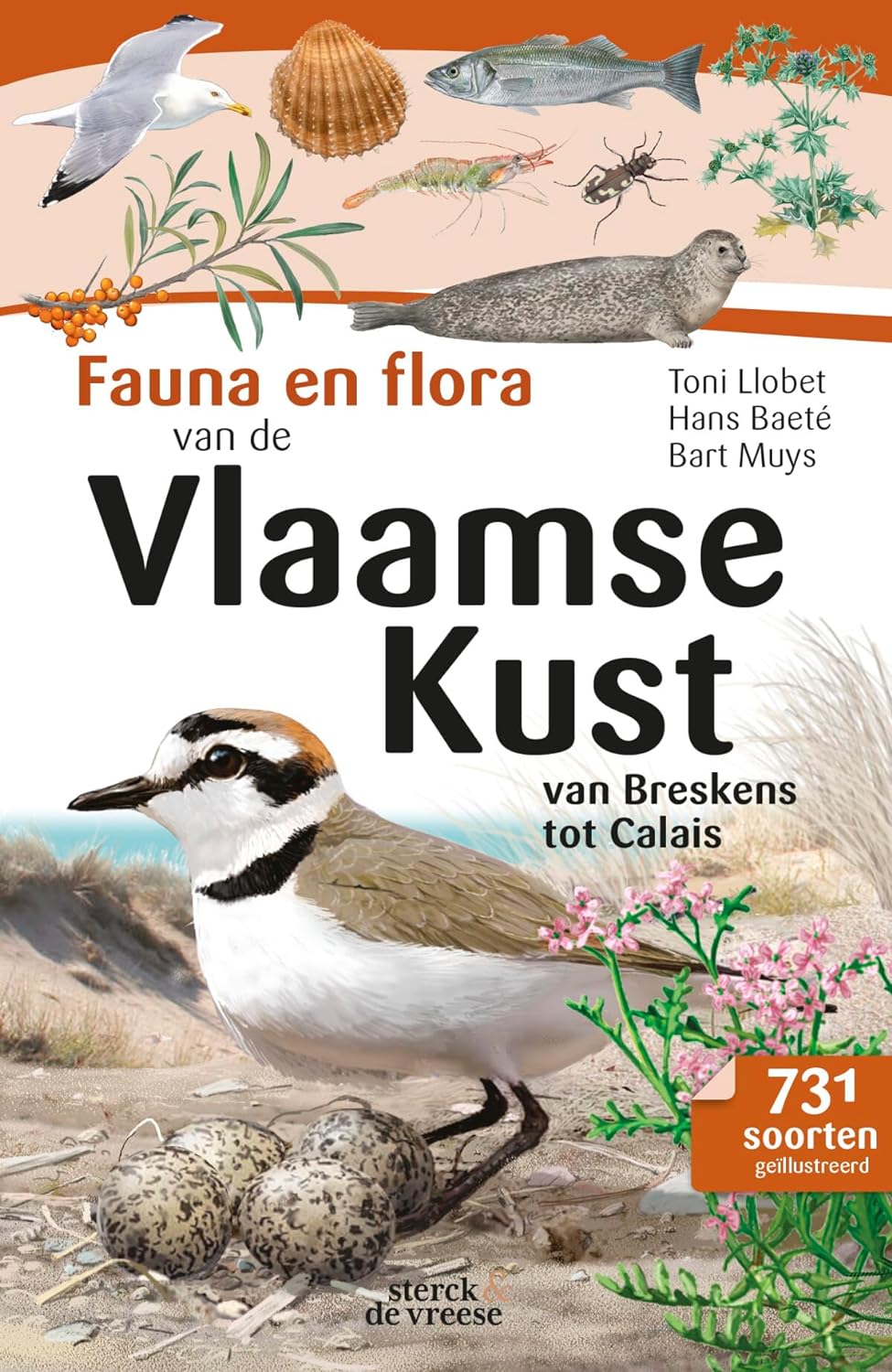
Unieke veldgids voor een van de belangrijkste natuurgebieden van de Benelux. Deze handige, uitvoerig geïllustreerd…

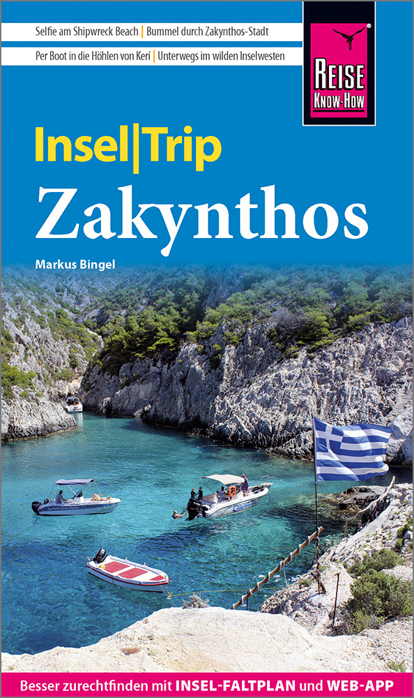
Die griechische Insel Zakynthos überrascht mit paradiesischen Stränden, türkisfarbenem Meer und reichlich unberühr…
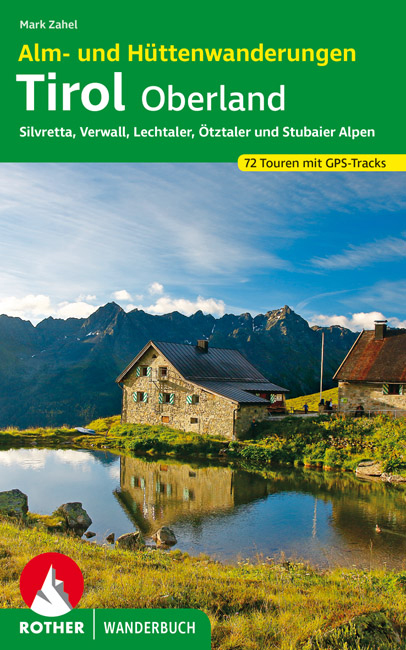
Alm- und Hüttenwandern - das verspricht Genuss und Gemütlichkeit. Eine Wanderung in herrlicher Natur und eine gute…
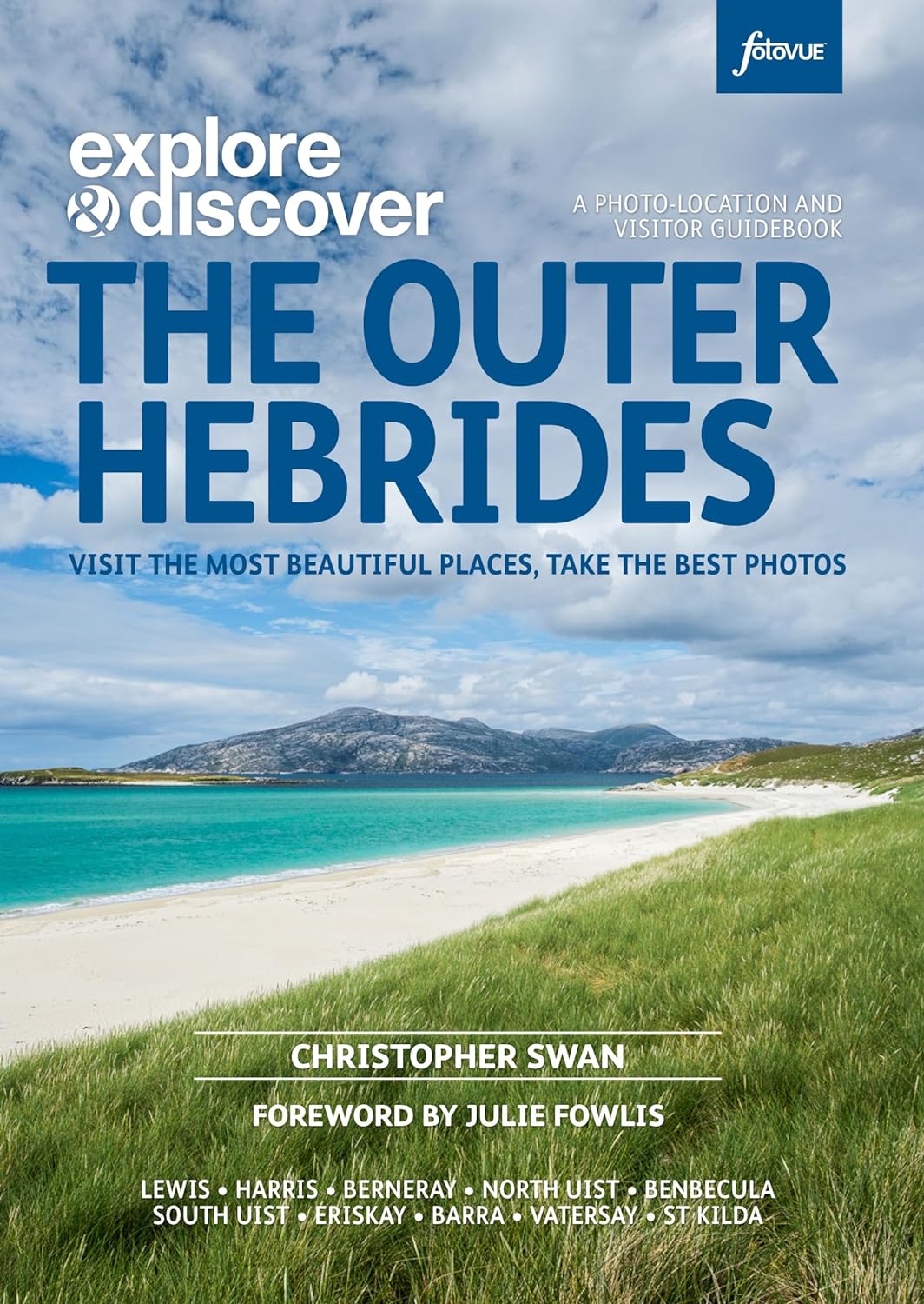
The essential companion for exploring the islands of the Outer Hebrides. Beautifully illustrated with over 500 col…
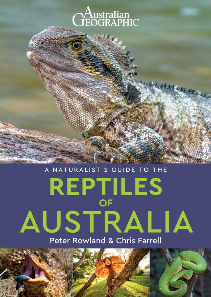
A Naturalist's Guide to the Reptiles of Australia is an easy-to-use identification guide to the 280 reptile specie…

National Geographic's Road Atlas: Scenic Drives Edition, is the ideal companion for the next time you hit the road…
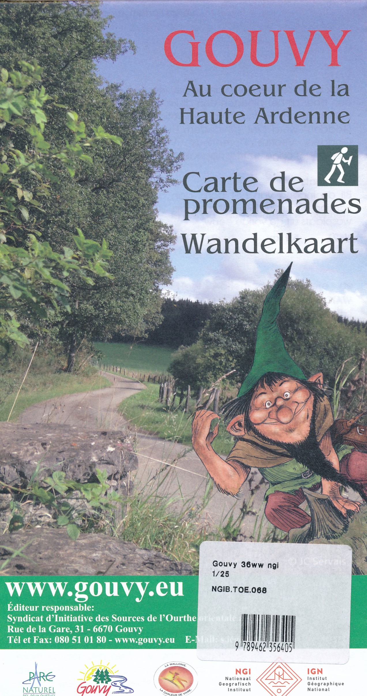
Heel duidelijke wandelkaart met ingetekende wandelroutes op ondergrond van topografische kaart met onder andere ho…