Reisgids Reishandboek Suriname | Kosmos Uitgevers
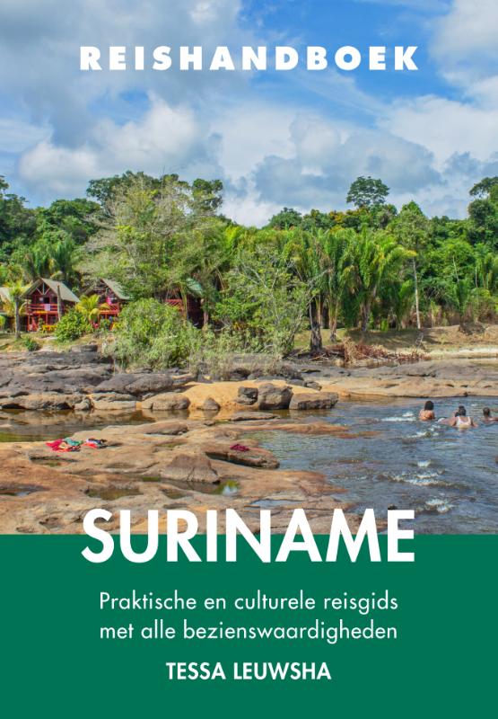
€ 20,-Met het Reishandboek Suriname op zak heeft dit Zuid-Amerikaanse land geen geheimen meer voor je. Deze reisgids zor…
De Zwerver →
Met het Reishandboek Suriname op zak heeft dit Zuid-Amerikaanse land geen geheimen meer voor je. Deze reisgids zor…


Over Parijs is al veel geschreven. In mijn narratief loopt de Franse hoofdstad als een rode draad door mijn leven.…
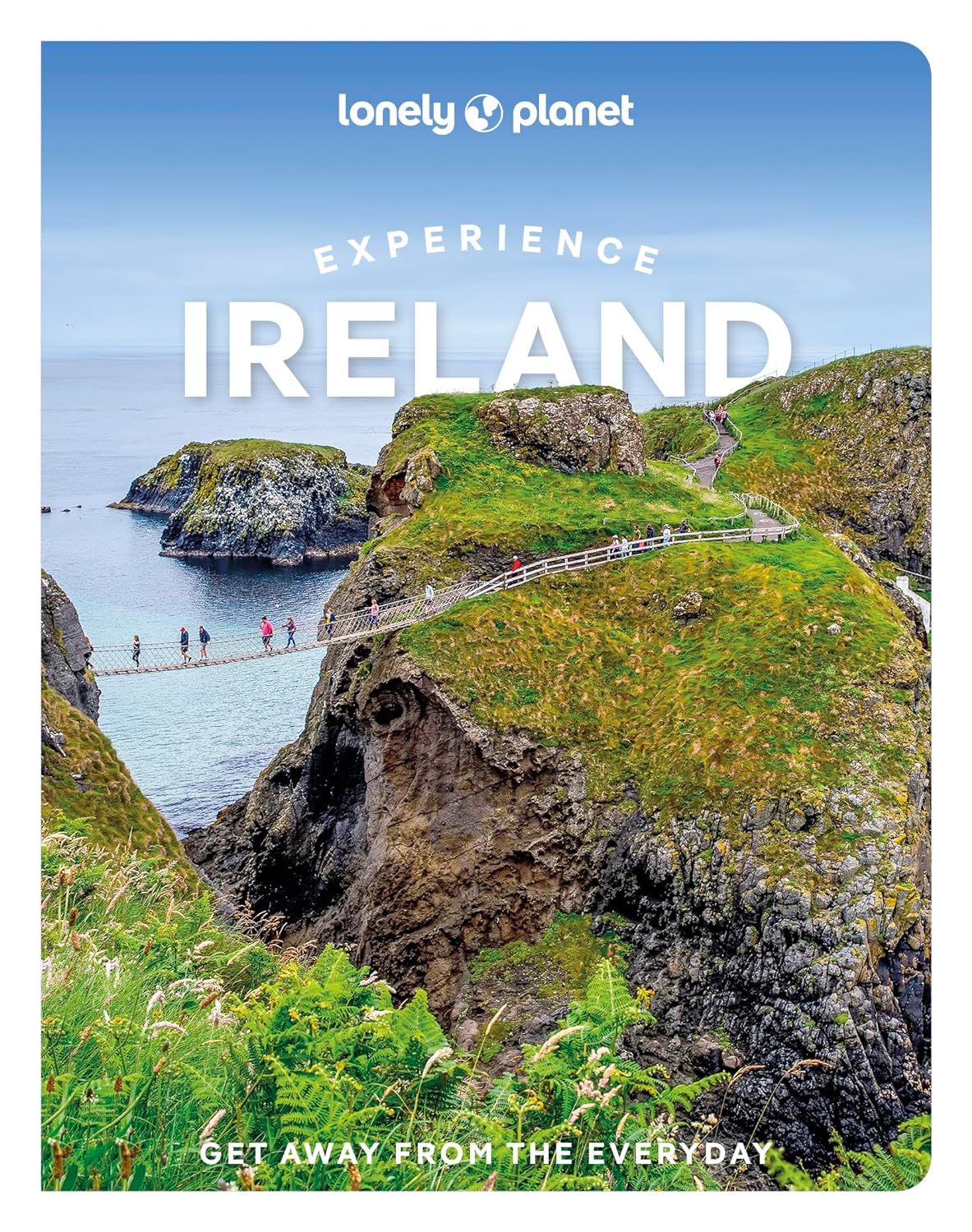
Lonely Planet's Experience Ireland is your guide to unforgettable experiences and local surprises. - all guided by…


Marco Polo reisgids voor Londen! Handig pocket formaat, boordevol informatie, met uitneembare kaart van de stad. M…
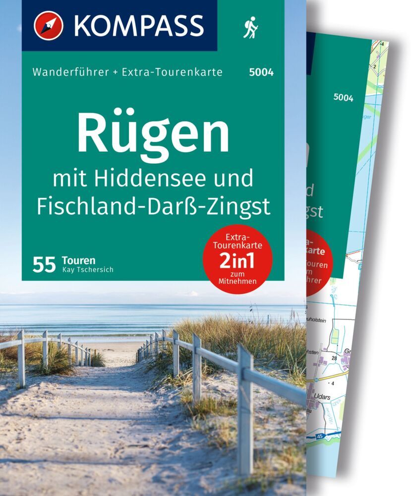
Kompass Wanderführer Rügen, mit Hiddensee und Fischland-Darß-Zingst Die Kombination aus Rügen, Hiddensee und Fisc…