Reisgids Wat & Hoe Reisgids Kopenhagen | Kosmos Uitgevers
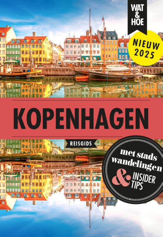
€ 11,-Met deze Wat & Hoe Reisgids Kopenhagen ga je voorbereid onderweg. Kopenhagen ligt in het oostelijke puntje van Den…
De Zwerver →
Met deze Wat & Hoe Reisgids Kopenhagen ga je voorbereid onderweg. Kopenhagen ligt in het oostelijke puntje van Den…

In 'Reizen die je leven veranderen' van Lonely Planet vind je meer dan 50 ultieme reizen, van de heilige Shikoku-p…

Zoek een vogelpaar bij elkaar! Het memospel ?Vogels rond het huis' van Elwin van der Kolk is een prachtig memory m…
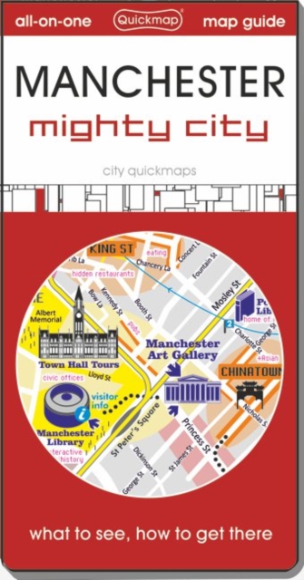
This ideal pocket map and guide is for day tourists, sports fans, and short-stay visitors to Manchester who are in…

TOURENKARTENReisen Sie auf über 3000 Kilometern in 13 Touren zu allen großen Attraktionen und weniger bekannten Or…


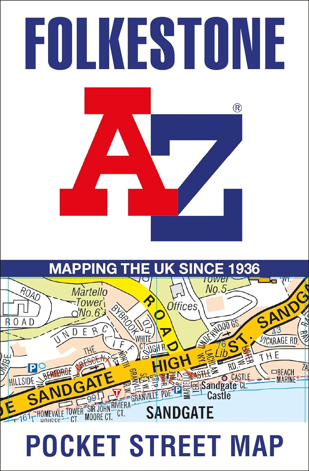
Navigate your way around Folkestone with detailed street maps from A-Z This up-to-date, folded A-Z street map inc…
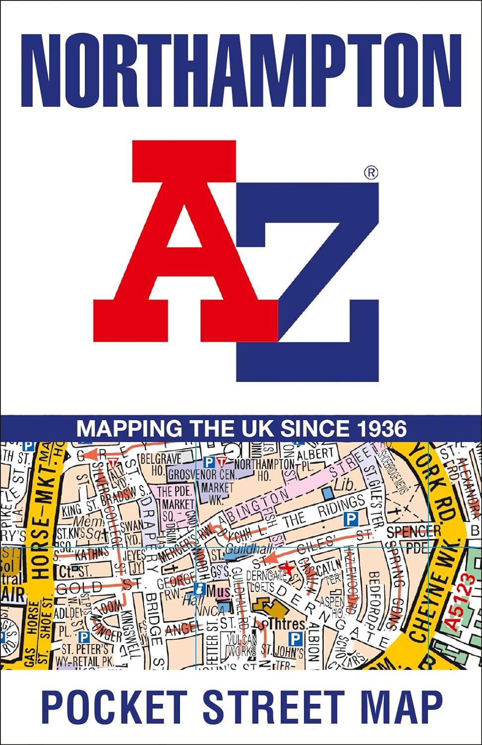
Navigate your way around Northampton with detailed street maps from A-Z This up-to-date, folded A-Z street map in…