
Reisgids Tanger | Petit Futé
€ 16,-Encore méconnus du public, Tanger, son littoral (Asilah) et la région du Rif (Chechaouen, Tétouan) s'avèrent plus …
De Zwerver →
Encore méconnus du public, Tanger, son littoral (Asilah) et la région du Rif (Chechaouen, Tétouan) s'avèrent plus …
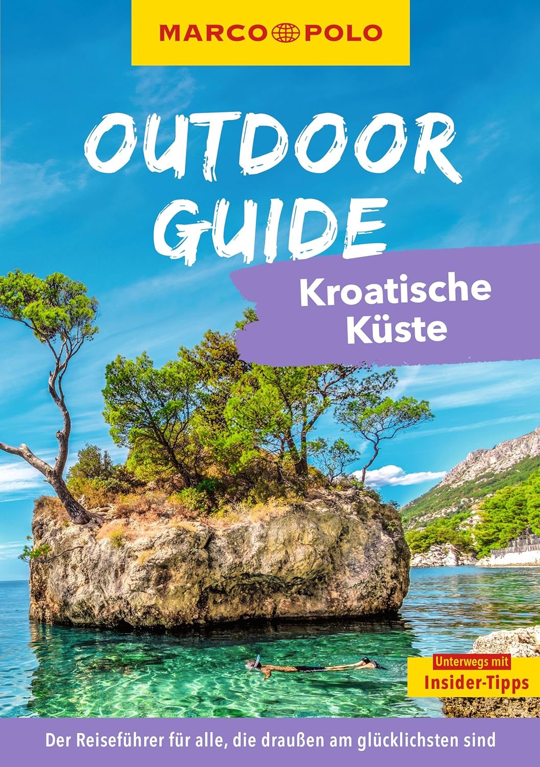
Für alle, die draußen mehr erleben wollen Wir kraxeln zu den besten Aussichtspunkten. Wir gleiten durch traums…
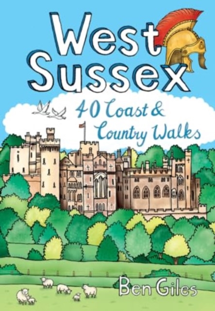
From the city of Chichester with its ancient walls and harbour inlets standing sentinel over the English Channel t…

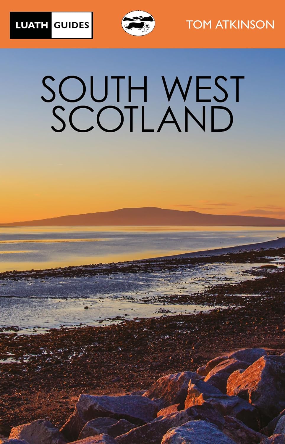
The lovely land of hills, moors and beaches is bounded by the Atlantic and the Solway. Steeped in history and lege…

Wandelgids Veluwse beeklopen bundelt achttien routes langs de Veluwse bekenstelsels. Van Hattem tot Renkum en van …

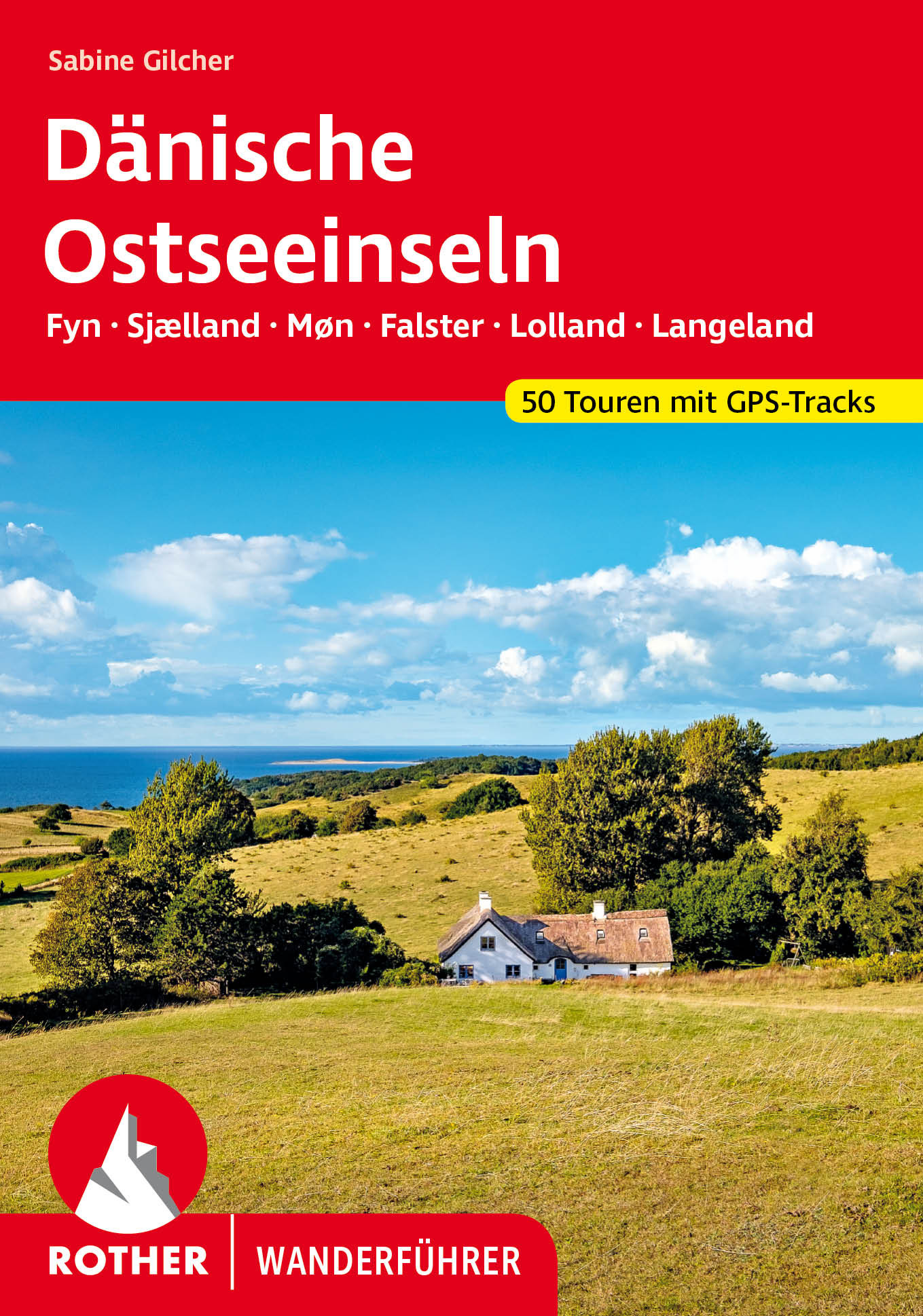
Wie Perlen liegen die schönsten Inseln Dänemarks in der Ostsee: Fyn, Sjælland, Møn, Falster, Lolland und Langeland…
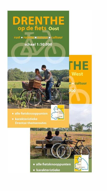
Drenthe is een bijzondere combinatie van historie en kleinschaligheid, met hoogteverschillen, bossen, heide en hun…