Woordenboek Fast Talk Italian | Lonely Planet
€ 6,-Although you can get by in Italy without speaking the language, knowing just a few essential phrases can help you …
De Zwerver →
Although you can get by in Italy without speaking the language, knowing just a few essential phrases can help you …
Ronald Turnbull has chosen 15 of the best short walks around Dumfries and Galloway for you to explore. Our guide c…
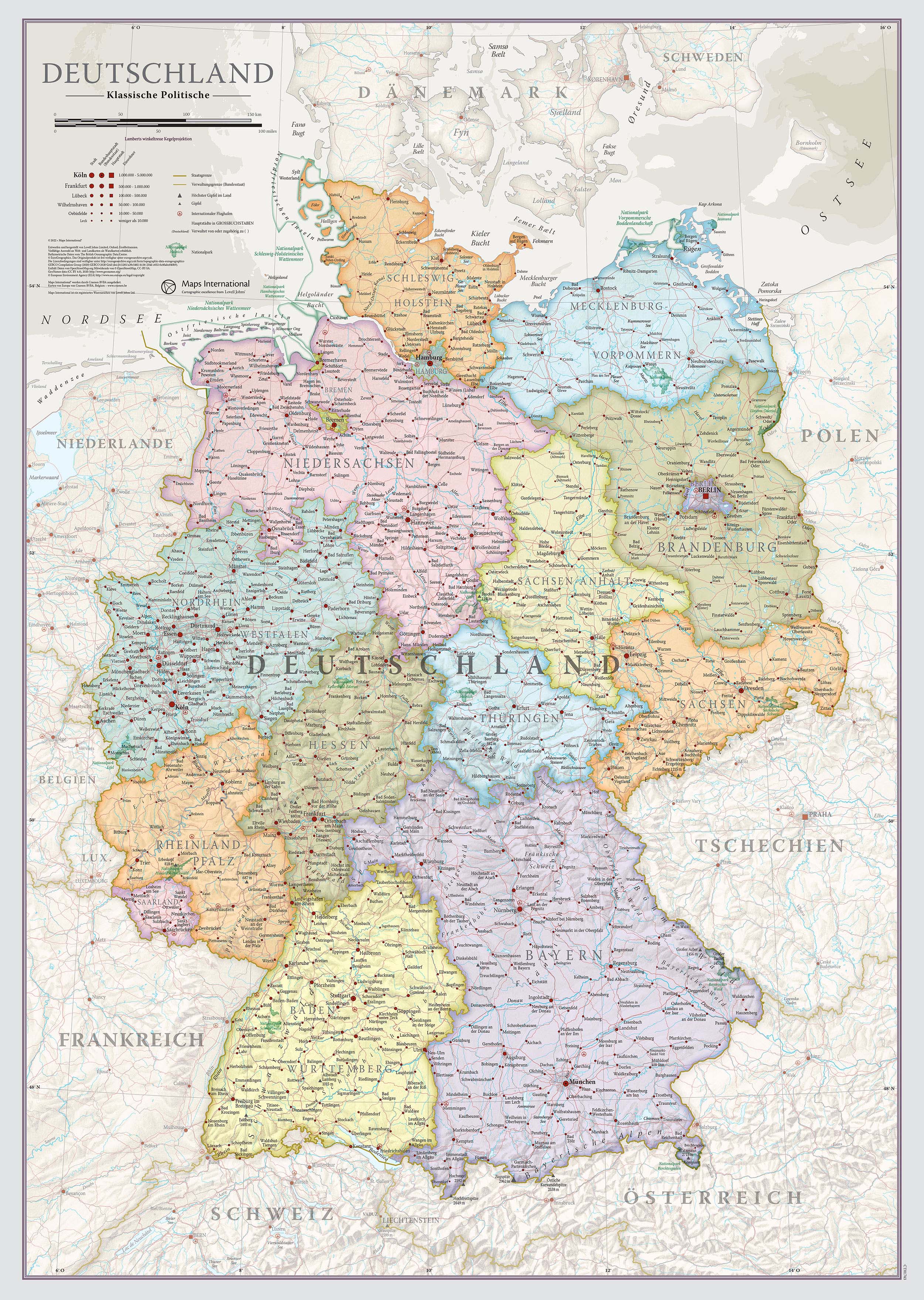
Duik in de rijke geschiedenis en gevarieerde landschappen van Duitsland met onze prachtige wandkaart, uitgevoerd i…
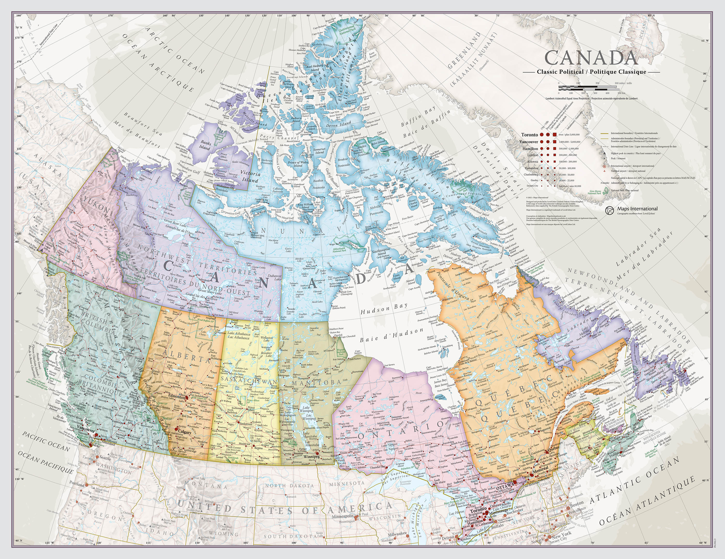
Ontdek de uitgestrekte wildernis en bruisende steden van Canada met onze indrukwekkende wandkaart, vormgegeven in …
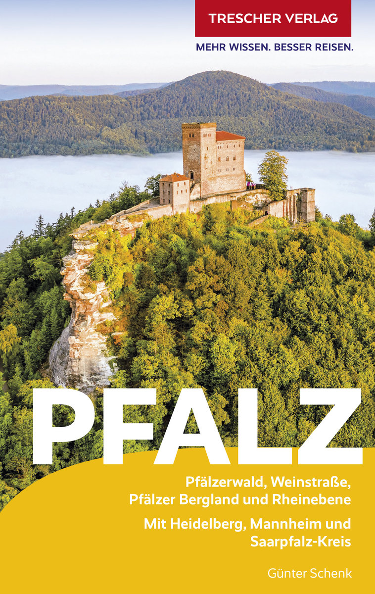
Goede Duitstalige gids voor de Pfalz. prettig leesbaar en met veel info over bezienswaardigheden, achtergronden ma…
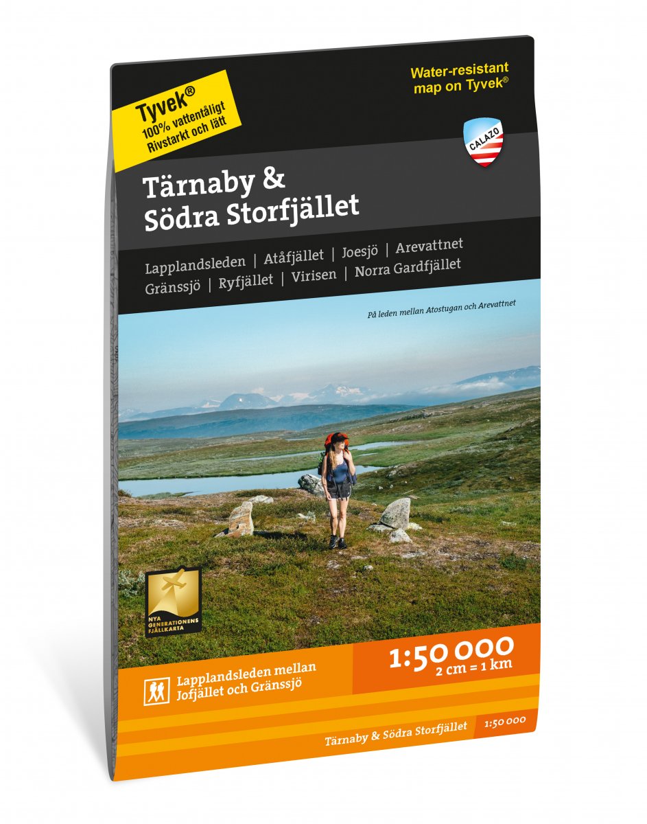
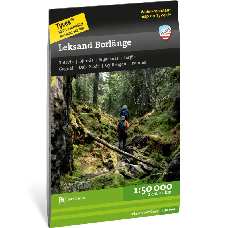
Calazo, een kaartenmaker uit Zweden, maakt heel goede wandelkaarten van bekende en minder bekende gebieden in Scan…
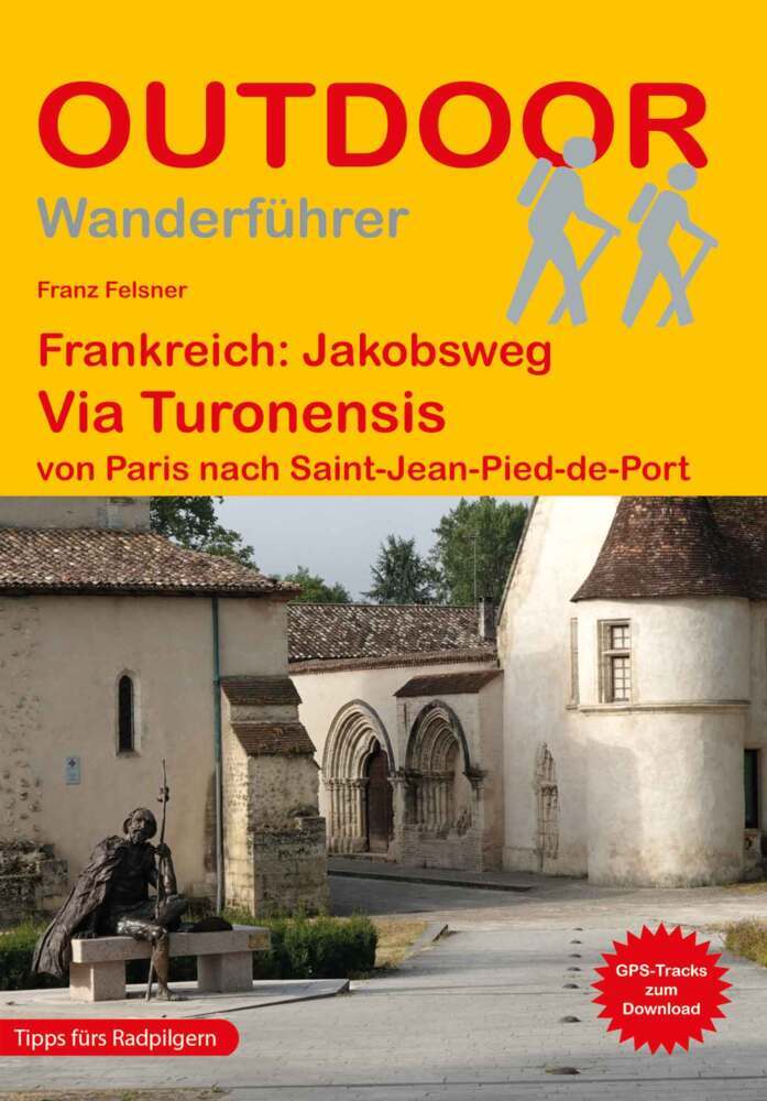
Die Via Turonensis von Paris bis zu den Pyrenäen ist mit ihren ca. 997 km der längste der vier großen Pilgerwege i…
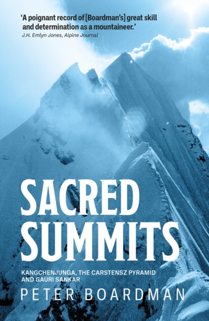
Mountaintops have long been seen as sacred places, home to gods and dreams. In one climbing year Peter Boardman vi…
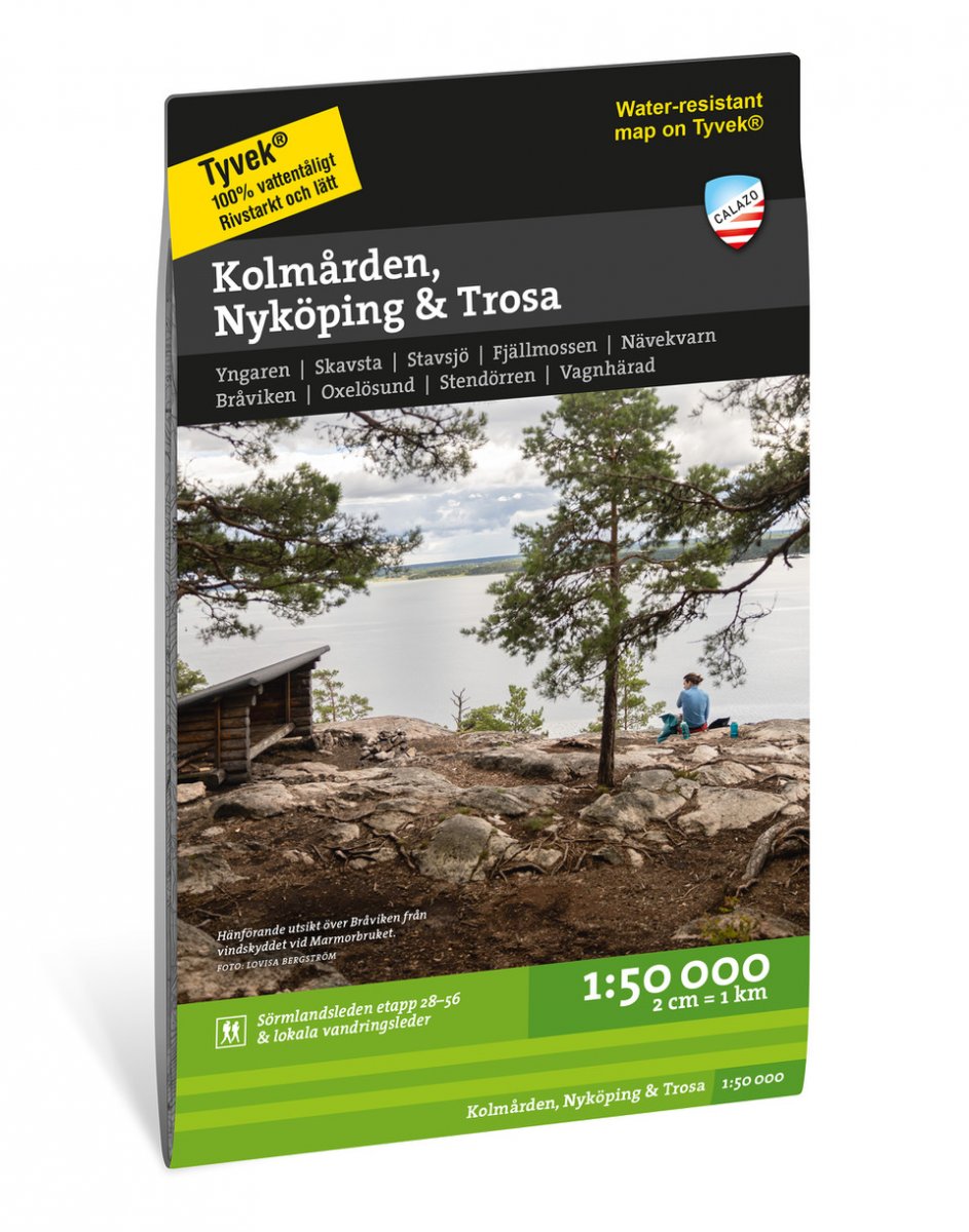
Calazo, een kaartenmaker uit Zweden, maakt heel goede wandelkaarten van bekende en minder bekende gebieden in Scan…
Calazo, een kaartenmaker uit Zweden, maakt heel goede wandelkaarten van bekende en minder bekende gebieden in Scan…