De nieuwste reisgidsen-serie van Lonely Planet: een luxe uitgave met als titel 'Experience... ' waarin aandacht voor de belangrijkste niet te missen hoogtepunten van het land. Ook hier wordt het kort en bondig geschreven met veel praktische informatie erbj als eten-drinken en vervoer. De lijst met accommodaties - zoals bij de gewone Planets - hebben ze weggelaten. Wel weer met veel plattegronden en kaartjes, rijkelijk geillustreerd met mooie foto's.
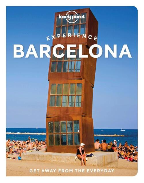
Lonely Planet's Experience Barcelona is your guide to unforgettable experiences and local surprises. Wonder at La Sagrada Familia, dine on tapas and paella, and get ready to enjoy one of Europe's most famed nightlife scenes - all guided by local experts with fresh perspectives. Uncover Barcelona's best experiences and get away from the everyday!
Inside Lonely Planet's Experience Barcelona:
Unique experiences to string together for an unforgettable trip
Inspiring full-colour travel photography and maps throughout
Pull-out Barcelona map (included in print version)
Highlights and neighbourhoodtrip builders to help tailor a trip to your personal needs and interests
Insights from local experts take you to the heart of the place - Catalan culture, Picasso, Miró & Dalí, Gaudí & architecture, tapas, music
Fresh perspectives and insider tips to surprise you with things you hadn't thought of, as well as fresh takes on the well-known sights
Day trips for easy escapes from the city
Practical info and tips on money, getting around on the metro and tram, unique and local ways to stay, and responsible travel
Covers La Rambla & Barri Gotic, El Raval, La Ribera, Barceloneta & the Waterfront, La Sagrada Familia & L'Eixample, Gracia & Park Guell, Camp Nou, Pedralbes & La Zona Alta, Montjuic, Poble Sec & Sant Antoni, and more
€ 23.95