€ 18.50
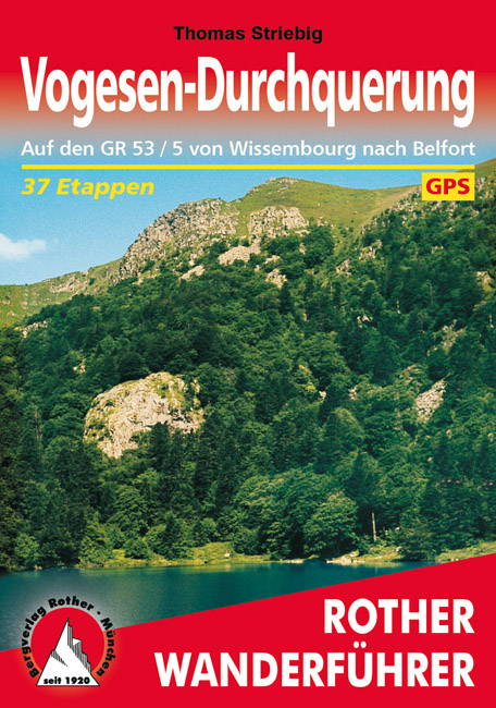
Wandelgids 265 Vogesen - Durchquerung: GR53 GR5 | Rother Bergverlag

In 37 etappes over de Lange Astands Wandelingen GR 53, GR 5 en GR 531 van Wissembourg naar Giromagny en Masevaux door de prachtige Vogezen. Goed alternatief voor de langverwachte maar nog steeds niet uitgekomen Crete des Vosges wandelgids van FFRP.

Duitse samenvatting:

Die Vogesen sind nicht nur eines der urwüchsigsten Mittelgebirge in unseren Breiten, sondern bieten sich gerade für mehrtägige Touren in besonderem Maß an. Die Landschaft ist ungemein vielfältig; die Palette reicht von den Hügeln der Nordvogesen mit ihren hellen Mischwäldern und den zahllosen bizarren Sandsteinfelsen, auf und in die unsere Vorfahren oft abenteuerliche Burgen gebaut haben, über die riesigen Waldgebiete der Mittelvogesen, wo man an Werktagen kaum einer Menschenseele begegnet, bis hin zu den fast alpinen Steilflanken und Bergwiesen der Hochvogesen, die tagelange Höhenwanderungen ermöglichen. Geschichtlich und kulturell Interessierte kommen überall auf ihre Kosten, denn bei nahezu jeder Etappe trifft man in dem alten Grenzland Elsass auf Spuren einer bewegten, nur zu oft kriegerischen Vergangenheit von der "Heidenmauer", einem riesigen gallo-römischen Ringwall, bis zu den Hinterlassenschaften der beiden Weltkriege. Nicht zuletzt ist auch die Infrastruktur für Weitwanderungen ideal: Man bewegt sich zumeist auf schmalen Pfaden und Steigen und übernachtet in kleinen Gruppenquartieren (Gîtes d étape), einfachen Landgasthöfen mit oft sehr guter Küche und im Süden in zumeist herrlich gelegenen Ferme-Auberges.§Die vor bereits mehr als 120 Jahren vom damals deutschen Vogesenclub angelegte Hauptwanderlinie von Wissembourg bis Masevaux bzw. Belfort, heute als GR 53 bzw. GR 5 bezeichnet, berührt die meisten attraktiven Punkte der elsässischen Vogesen und erfreut sich in den letzten Jahren ständig steigender Beliebtheit. Bonne randonnée et bon appetit!

GR5 GR-5

€ 25.95
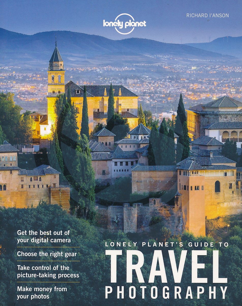
Reisfotografiegids Guide to Travel Photography | Lonely Planet

Prachtige, zeer uitgebreide gids, of beter gezegd handboek, om het beste van je vakantie- en reisfoto's te maken. Geen onderwerp wordt onbesproken gelaten, met tal van voorbeelden. 

The fifth edition of Lonely Planet’s Guide to Travel Photography shows readers how to develop their photographic skills and avoid common mistakes.


This ultimate step-by-step guide to taking better travel photographs is full of practical exercises and tips to hone technique. It is comprehensively illustrated with stunning and inspiring travel photographs, all with how-to explanations.


Readers are guaranteed to produce cover photo quality images after following Richard I’Anson’s instructions.


€ 14.95
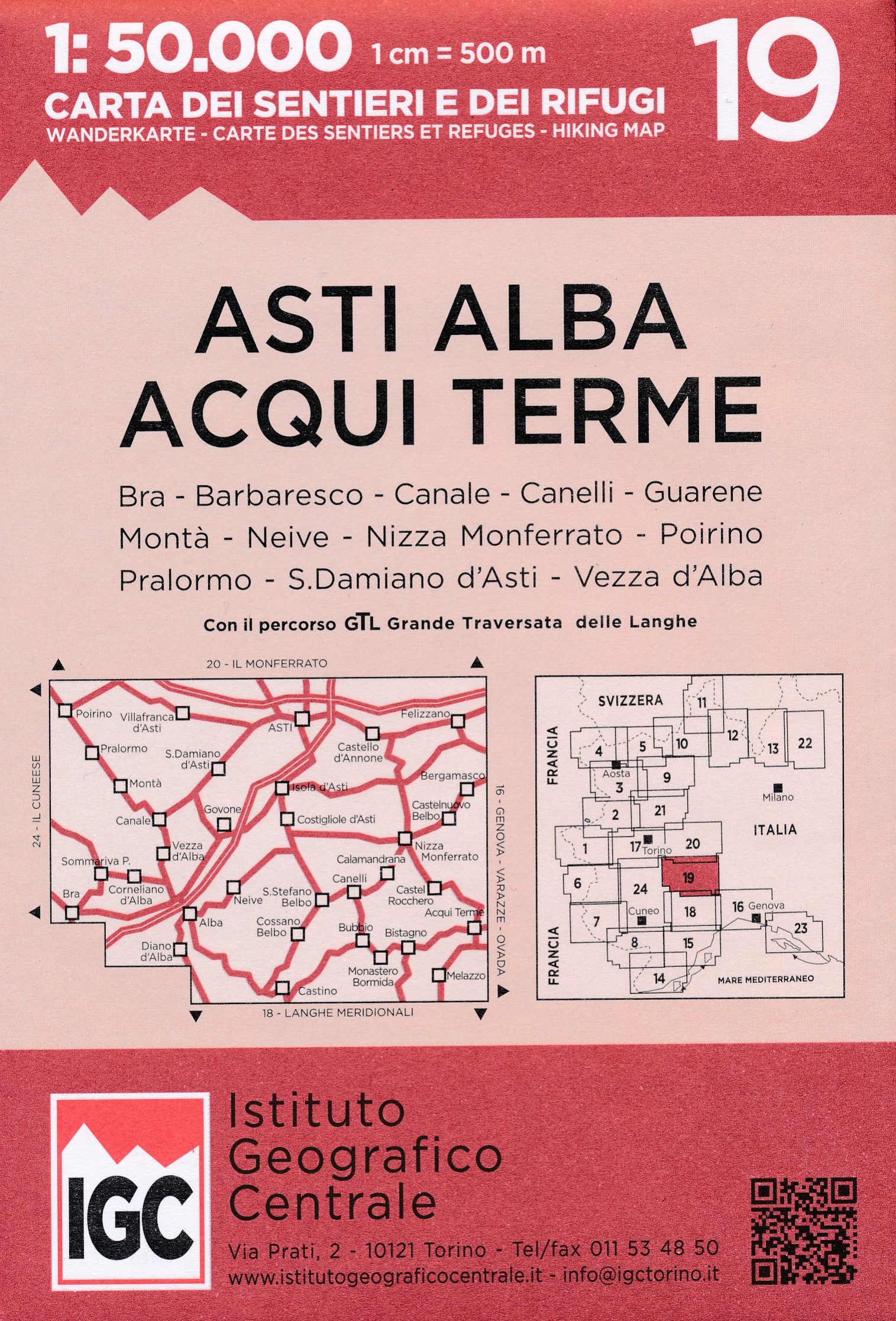
Wandelkaart 19 Asti, Alba, Acqui terme | IGC - Istituto Geografico Centrale

IGC heeft een serie gedetailleerde wandelkaarten voor het Italiaanse gedeelte van de Alpen (Piemonte). Voldoende gedetailleerd voor het volgen van het lokale wandelnetwerk. Voorzien van schaduwreliëf, hoogtelijnen en referentiehoogtes. Onderscheid in soort wandelpad ( bergpad, bergpad met hindernissen,gletsjerovergang). Ook zijn de tourskiroutes opgenomen op deze kaarten. Voor wandelaars van de GTA staat ook deze ingetekend op de betreffende kaartbladen.

Kwalitatief zijn ze wel wat minder dan bijvoorbeeld de Franse IGN kaarten of Engelse Ordnance Survey maps .... er is echter nauwelijks iets anders verkrijgbaar voor deze regio.


Acqui Terme, Alba, Asti, Bra, Bubbio, Calamandrana, Canale, Canelli, Corneliano d'Alba, Costigliole d'Asti, Felizzano, Nizza Monferrato, Poirino, Pralormo, S.Damiano d'Asti, S. Stefano Belbo, Cossano Belbo, Govone, Isola d'Asti, Mombercelli

€ 13.95
Wegenkaart - landkaart Jasper National Park & Northern Alberta | ITMB


Jasper National Park kaart, zeer gedetailleerd (schaal 1:250.000) plus op de anderekant van de kaart staat Noord Alberta, schaal 1:1.000.000. Natuurkundige overzichtskaart met veel plaatsen en wegen, spoorlijnen en rivieren, hoogten, lengte- en breedtegraden.


Two words immediately come to my mind if I were to describe Northern Alberta: Oil and Cold. Oil sands could be found relatively easily within the Northern Alberta region. This pushes the Canadian economy forward as gasoline and other petroleum products are becoming higher in demand. Northern Alberta is also about the subzero temperature. The region of Northern Alberta mostly contains very cold, long winters and warm, short summers. Fort McMurray, for example, one of the famous urban communities located in the Wood buffalo municipality, has only a yearly mean temperature of 0.7 degrees Celsius. Nonetheless, Northern Alberta is also a land of recreation activities and wild adventures. On the other side of the Northern Alberta map, we have included a map of Jasper National Park. This park is situated deep in the Alberta Rockies and is surrounded by mountains. Although it is dissected by the Trans-Canada Highway, this park remains as one of the most pristine and wild parks of Canada. This park is a must-see as it can be reached with ease and has amazing natural features. Included insets of this map are Jasper and Edmonton.


Legend Includes:

Roads by classification, Airports, Ferries, Train Stations, Bus Terminals, National Parks, Hot Springs, View Points, Points of Interest, Mountain Peaks, Fishing Sites, Camping Sites, Picnic Areas, Golf Fields, Ski Sites, Waterfalls, Gas Stations, Universities, Museums, Post Offices, Police Stations, Swimming Pools, Theatres, Libraries, Restaurants, Hospitals and more.


€ 13.50
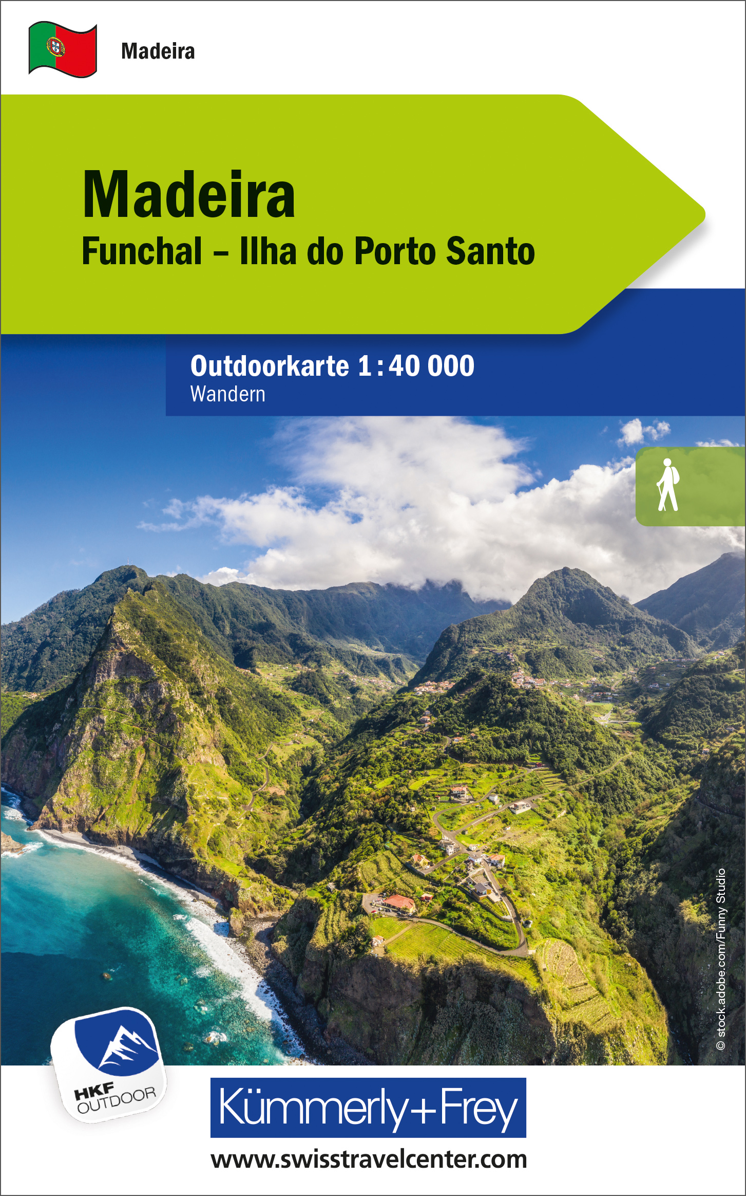
Wandelkaart Outdoorkarte Madeira - Funchal - Porto Santo | Kümmerly & Frey

Hele goede wandelkaart met alle noodzakelijke topografische details van Madeira met ingetekende routes. De kaart is geplastificeerd, met kleine plattegrond van Funchal.

Madeira at 1:40.000 on a contoured, GPS compatible outdoor map from Kümmerly + Frey printed on sturdy waterproof and tear-resistant synthetic paper. The map is double-sided on a more convenient size sheet and includes a street plan of central Funchal, plus coverage of the nearby Islas Desertas and Porto Santo at 1;70,000.


The map divides Madeira east/west with a very generous overlap between the sides. Topography is shown by contours at 20m intervals, enhanced by relief shading and spot heights, plus colouring and/or graphics to indicate different types of terrain and vegetation.. Waymarked hiking trails and footpaths are highlighted by overprint which indicates narrow steep sections. The map also shows cycle routes plus a selection of mountain bike and horse riding trails.


A wide range of symbols indicate various facilities and places of interest, including campsites, youth hostels, mountain huts, sport and recreational facilities, beaches, etc. The map has a 1-km UTM grid. Map legend includes English.


The street plan of central Funchal indicates main traffic arteries and highlights various places of interest.


Dorpen op de kaart

Achadas da Cruz, Porto Moniz, Serra de Água, Ribeira Brava, Porto Santo, Ilhas Desertas, Bugio, Sao Jorge, Santana, Machico, Funchal, Camara de Lobos


Funchal, Ilha do Porto Santo

Die Outdoor Karten von Kümmerly+Frey helfen beim Planen. Und am Ferienort trumpfen sie als stumme Reisebegleiter auf: attraktives Kartenbild, umfassende Regionalabdeckung (eine Karte für eine Ferienregion), informative touristische Inhalte wie z. B. wichtige Wander- und Velowege, Berghütten und Sehenswürdigkeiten. Massstab: 1:40 000. Karte wasser- und reissfest.


€ 20.95
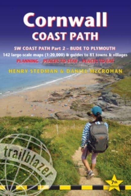
Wandelgids Cornwall Coast Path | Trailblazer Guides

Wandelgids met uitgebreide beschrijvingen wandelingen en praktische informatie met eenvoudige kaarten van de wandelroutes.

Practical, complete hiking route guide, with maps and accommodation for the 288-mile footpath that runs around the entire coastline of Cornwall, from Bude to Plymouth; Part 2 of the South-West-Coast Path, a 630-mile National Trail from Minehead to Poole. Includes * 142 large-scale walking maps in TWO-COLOUR style (3 1/8inches to 1 mile), 15 town plans, guides to 81 towns and villages, 24 stage maps and overview map. * Itineraries for all walkers - whether walking the route in its entirety over a week to 10 days or sampling the highlights on day walks and short breaks * GPS waypoints * Practical information for all budgets - camping, bunkhouses, hostels, B&Bs, pubs and hotels; where to stay, where to eat, what to see.


* Comprehensive public transport information - for all access points on the coast path * Flora and fauna - 6 page full colour, flower, butterfly, bird guide * Green hiking - understanding the local environment and minimizing our impact on it * Plus extra colour sections: 16pp colour introduction and 21pp of colour mapping for stage sections (one stage per page) with trail profiles, and colour overview map. * Also includes the route across the North Devon border, Hartland Quay to Bude.


·        Comprehensive public transport information – for all access points on the coast path

·        Flora and fauna – four page full color flower guide, plus an illustrated section on local wildlife

·        Green hiking – understanding the local environment and minimizing our impact on it

·        Includes downloadable gps waypoints


€ 5.25
Wandelkaart 37 Mount Agrafa | Road Editions

Mt Agrafa at 1:50,000 in a series of contoured maps from Road Editions covering popular hiking areas of Greece. All the maps have altitude coloring and spot heights - contour interval varies, as indicated in the descriptions of individual titles. Local footpaths are marked and, for road users the maps show picturesque routes, intermediate driving distances on minor roads, and locations of petrol stations and tyre repairs workshops. Boundaries of national parks and administrative regions are marked, and symbols show campsites, hotels and mountain refuges, and various landmarks and places of interest, e.g. archaeological sites, churches, etc. All place names are in both Greek and Latin alphabet.

All the titles have latitude and longitude margin ticks, many also show GPS waypoints. Some maps come with a booklet or notes on the reverse side giving further information about the area and/or descriptions of hiking routes. Map legends include English.

In this title: the Agrafa region, on the southern tip of the Pindos range. A booklet, in Greek and English, includes an index and general information about the area.

€ 22.50
Fietsgids Cycling in the Hebrides - Schotland | Cicerone

Prachtige fietsgids, zeer inspirerend , van een bijzonder fietsgebied. goede routesuggesties, Veel informatie, met hoogteprofielen en praktische zaken.

The 37 day routes and 22 link routes brought together in this guide offer cyclists of all abilities the opportunity to island-hop by bike across the Hebrides, visiting over 20 islands in six sections: Clyde and Kintyre; Colonsay, Islay and Jura; Mull, Coll and Tiree; Skye and Raasay; Barra and the Uists; and Harris and Lewis. From Skye's majestic Cuillin mountains to the palm trees of Bute and the white sands of Tiree and Harris, there is nowhere better to indulge your sense of adventure and experience the thrill of travelling under your own steam in the fresh air. The Hebrides from Islay in the south up to Lewis in the north are all included, along with Arran and its neighbouring islands in the Firth of Clyde, and this comprehensive guide contains all the information you need - from ferry schedules to refreshment stops and bike repair shops - to plan a 600-mile tour of the whole lot, or a clutch of day rides from a single base, and everything inbetween. Each route is graded and accompanied by a profile, colour maps and information about links to ferries and other routes providing a huge network of options.

1 Clyde and Kintyre


 Link Routes


1A Gourock to Ardrossan

1B Dunoon to Portavadie

1C Auchenbreck to Rothesay

1D Brodick to Lochranza

1E Claonaig to Tayinloan

1F Kennacraig to Oban


Day Routes


1.1 Circuit of south Arran

1.2 Circuit of north Arran

1.3 Circuit of Great Cumbrae

1.4 Circuit of Bute

1.5 Gigha


2 Colonsay, Islay and Jura


Link Routes


2A Port Ellen to Port Askaig


Day Routes


2.1 South coast of Islay

2.2 Circuit of northwest Islay from Bridgend

2.3 Circuit of central Islay from Bowmore

2.4 Circuit of southwest Islay (The Rhinns)

2.5 Craighouse and back from Feolin Ferry

2.6 Circuit of Colonsay


3 Mull, Coll and Tiree


 Link Routes


3A Craignure to Tobermory

3B Lochaline to Salen

3C Salen to Kilchoan

3D Salen to Mallaig


Day Routes


3.1 Slate Islands

3.2 Kerrera

3.3 Circuit across Lismore from Oban

3.4 Circuit of central Mull

3.5 Circuit of northern Mull

3.6 Out to Iona

3.7 Coll

3.8 Circuit of west Tiree

3.9 Fishbone Ride in east Tiree


4 Skye and Raasay


Link Routes


4A Ullapool to Armadale

4B Stromeferry to Uig


Day Routes


4.1 Across the Sleat Peninsula from Armadale

4.2 Elgol and back from Broadford

4.3 A three-legged ride from Carbost

4.4 Around the Duirinish Peninsula

4.5 Circuit of the Trotternish Peninsula

4.6 Circuit of central Skye

4.7 Skye Bridge/Glenelg circuit from Kyle of Lochalsh

4.8 Raasay


5 Barra and the Uists


Link Routes


5A Castlebay to Lochboisdale

5B Dalabrog to Clachan

5C Clachan to Berneray

5D Clachan to Berneray Junction


Day Routes


5.1 Circuit of Barra and Vatersay

5.2 South Uist machair from Tobha Mor

5.3 Circuit of North Uist


6 Harris and Lewis


Link Routes


6A Leverburgh to Tarbert (west)

6B Leverburgh to Tarbert (east)

6C Tarbert to Stornoway

6D Liurbost to Barvas

6E Stornoway to Butt of Lewis


Day Routes


6.1 Circuit of south Harris

6.2 Tarbert to Hushinish and back

6.3 Tarbert to Scalpay and back

6.4 Callanish by the Pentland Road

6.5 West Lewis from Gearraidh na h’Aibhne

6.6 The Bridge to Nowhere from Stornoway

€ 15.95
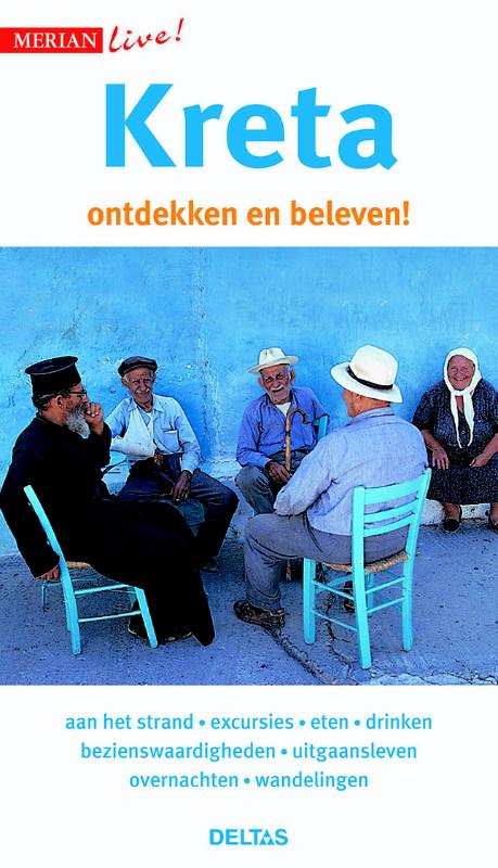
Reisgids Merian live Kreta | Deltas

Handige en overzichtelijke, kleine reisgids voor een eerste kennismaking met het land. Voor- en achterin uitklapbare kaart. Aandacht voor o.a. taal, festivals en eten en drinken. Prettig formaat en toch met veel foto’s. Nederlands

€ 25.95
Fietskaart 23 Cykelkartan Östra Södermanland - Södermanland East | Norstedts

Een nieuwe serie Zweedse fietskaarten, gemaakt door fietsers in samnewerking met de Zweedse topografische dienst. Met veel ingetekende routes. Bijzonder gedetaileerd, voor veel doeleinde geschikt, nadeel daarvan tegelijkertijd kan zijn dat je er wat meer nodig hebt om het gebied te dekken waar je heen gaat. Dat maakt het dan vrij prijzig, maar je krijgt zonder meer waar voor je geld... een mooi product!


• 30 kaarten welke vooral het zuidelijk gedeelte van Zweden bedekken (met inbegrip van Lake Siljan).

• Schaal:  1/90.000 (met uitzondering van Gotland 1/100.000)

• GPS-referenties

• Alle nationale en belangrijke fietsroutes worden weergegeven, alsook een selectie van meer locale routes.

• Legenda in drie talen: Zweeds, Engels en Duits

• Gemaakt in samenwerking met “Cykelfrämjandet”, de grootste nationale fietsorganisatie van   Zweden.

• De kaarten tonen de bezienswaardigheden in de regio en ook de telefoonnummers en www. adressen van de plaatselijke toeristische organisaties.

• Gedrukt op Pretex papier voor een betere duurzaamheid (Water proof)

Abonneer op