€ 26.50
Wandelgids - Reisgids The England Coast Path | Bloomsbury

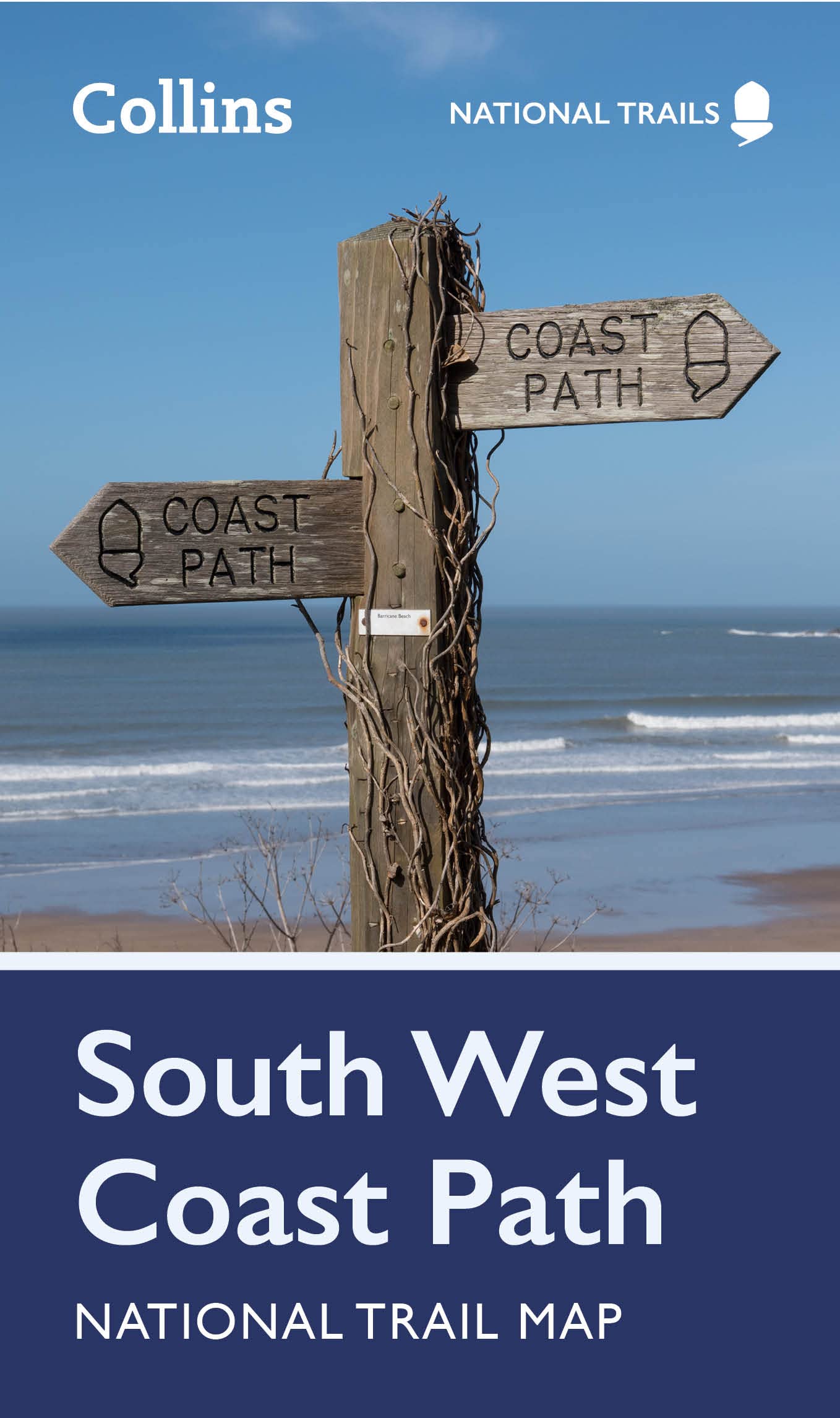
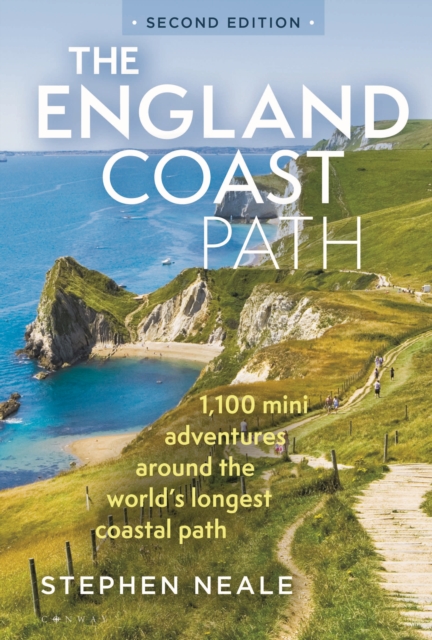
The definitive guidebook to the entire 3,000-mile length of the new England Coast Path. For anyone planning a trip to the coast or a UK summer holiday, the new England Coast Path national trail is a hugely exciting prospect, and this guidebook shows you how to make the most of every single glorious mile. Environmentalists, volunteers, campaigners, land owners and politicians all came together to create this 'ninth wonder of the world', and from the opening of the path in 2020 onwards, anyone has been able to walk and wild camp along the entire 3,000-mile length of the English coast.


It's a fantastic opportunity for all walkers, campers, fans of the coast and the outdoors. Stephen Neale has spent many happy months walking, camping and surveying the path, and from that experience has written a fantastically detailed and rich guidebook covering the route itself, along with everything from the best places to swim, hunt for fossils and eat seafood to hidden away beaches and canoeing spots. Fully updated for its second edition, with 100 extra adventures from the newly opened sections of the path and spectacular new aerial photography, the book is divided up into the 16 coastal counties and features 1,100 places to see, camp and explore around the coast.


Each place has map coordinates and basic directions from the path, allowing walkers to either visit specific places or link highlights together, walking between them along the path. The England Coast Path represents what makes England so great: a little bit mad, a little bit proud, and the lucky host to one of the most spectacular and wild coastlines in the world. With this book you too can join the adventure.

€ 27.95
Wandelgids Outstanding Scenic Walks of New Zealand | New Holland

Outstanding Scenic Walks of New Zealand is for everyone who enjoys walking. this fully up-to-date edition contains an irresistible selection of quick, enjoyable excursions throughout the country. 

Every walk includes a highlight, wheter it's a spectacular natural feature, such as the Craters of the Moon near Lake Taupo or the dramatic scenery in Fiordland; or an enounter with the penguins found in colonies along the Otago Coast in the South Island. Natural history notes draws walkers' attention to particular features of New Zealand flora and fauna, describing endemic and native plants, birds, and animals likely to be discovered during the walk. 

Each walk entry includes:

Travel directions

Walking time

Track and nature notes

€ 9.95
Wegenatlas Road Atlas Ireland | Collins

Explore Ireland with this accurate and fully updated road atlas. This road atlas is at A4 size, covering the whole of Ireland and features clear and detailed Collins colour mapping at a scale of 5.2 miles to 1 inch. Perfect for both residents and visitorstouring Ireland.


This revised edition includes: Places of tourist interestContact information for Tourist Information Centres with grid references to the mappingFully indexed street maps of 11 cities and towns - Dublin, Belfast, Cork, Limerick, Waterford,Londonderry (Derry), Galway, Bangor, Dun Laoghaire, Drogheda and KillarneyBlue Flag & Green Coast beachesFerry and airport information; Distance chart; Distances marked on the roads in miles and kilometresRoute planning map of the whole of Ireland at 15.8 miles to 1 inchAdministrative map of Irish counties and districts.

€ 15.50
Wandelgids Irland (Ierland) | Conrad Stein Verlag

Handzaam boekje met routebeschrijvingen inclusief een heleboel praktische informatie. De beschrijving is uitstekend, maar kaarten zijn beperkt en schetsmatig aanwezig. Duits


Hier im Nordwesten Irlands, in der historischen Provinz Connemara, lässt sich noch das ursprüngliche Irland erfahren. Mit dem Western Way führt auch ein 240 km langer Wanderweg in 13 Etappen durch diese landschaftlich äußerst abwechslungsreiche Region. Sie kommen an zahlreichen Seen vorbei, überschreiten karge Bergpässe und Ruinen erzählen von der wechselvollen Vergangenheit. Aufgrund der Länge einzelner Etappen und der stellenweise großen Abgeschiedenheit ist der Weg als moderat einzustufen - eine solide Kondition und eine gewisse Wetterfestigkeit sind Grundvoraussetzungen.Das Buch unterstützt bei der Planung und Durchführung der Wanderung. Es gibt praktische Tipps sowie alles Wissenswerte zu den 13 Etappen des Western Way: landschaftliche Besonderheiten, Einkehr-, Einkaufs- und Übernachtungsmöglichkeiten entlang des Weges und Informationen über den öffentlichen Nahverkehr. Ergänzt werden die Wegbeschreibung durch Karten und Höhenprofile sowie GPS-Tracks zum Download.


Land und Leute; Reise-Infos von A bis Z; Beschreibung des Western Way in 13 Etappen. 

€ 24.95
Reisgids Lost & Dark Places Ostfriesland | Bruckmann Verlag

Verfolgte Hexen und Freibeuterei

Hünengräber neben idyllischen Höfen, Blutsteine neben Badestränden, Friedhöfe neben Fischkutterromantik: Ostfriesland kann auch herb und düster.

Ostfriesland ist so flach, dass man morgens schon sehen kann, wer abends zu Besuch kommt. Doch neben den idyllischen Bauernhöfen und verträumten Sielhäfen gibt es auch das andere Ostfriesland, das von dunklen Orten, versunkenen Dörfern und gefährlichen Mooren oder den Schrecken der Hexenverfolgung erzählt. Diese Orte liegen häufig gut versteckt irgendwo auf dem flachen Land, tief im Wald oder sogar mitten in der Stadt und entfalten dort ihren ganz besonderen Zauber. Ein ideales Ausflugsziel für True Crime Fans!

€ 35.00
Campergids Facile-en-Route Campergids SET van 3 delen | Facile Media B.V.

Dé Facile-en-Route Campergids 2023! Ga jij in 2023 goed voorbereid op pad met de camper? De Facile-en-Route Campergids is al tientallen jaren een begrip onder de Europese camperaar. De 26ste editie is compleet vernieuwd en wordt je aangeboden in 3 delen. Deze complete set bevat nuttige informatie over ruim 10.000 geselecteerde camperplaatsen verspreid over 14 Europese landen. Aan de hand van duidelijke symbolen en afbeeldingen kan jij als camperaar in één oogopslag beoordelen of de camperplaats voldoet aan jouw gestelde wensen. Bij aanschaf van deze nieuwe campergidsen ontvang je ook een gratis jaarabonnement op de Camperstop-App (t.w.v. € 6,99). Met deze app beschik jij over alle informatie van camperplaatsen verspreid over 30 Europese landen.

€ 23.95
Reisverhaal Bram fietst | KNNV Uitgeverij

Het begon als een uit de hand gelopen weddenschap: “Wedden dat je niet alle dorpen van Brabant langs gaat fietsen?”. Uiteindelijk fietste Bram Witvliet in twaalf jaar langs alle plaatsen van Nederland. Eerst voornamelijk op eenvoudige (stads)fietsen, later ook als amateurwielrenner. Hij fotografeerde onderweg alle plaatsnaambordjes en haalde geld op voor goede doelen die zich inzetten voor natuur en milieu. 250 fietstochten door Nederland langs meer dan 3000 plaatsen, hebben talloze indrukken achtergelaten. We lezen over de grenzeloze liefde voor het Limburgse Heuvelland, de Drentse rust, maar ook over het verdwalen in de rijke geschiedenis van onze plaatsnamen. Daarnaast fietst Bram langs vele filosofen en schrijvers die zijn denken hebben gevormd. Dit aanstekelijke boek is het verslag van zijn ervaringen en gedachten over Nederland, ons landschap, de klimaatcrisis en de plaats van de fiets in zijn leven.

‘Veel meer dan een verzamelaar van plaatsnaambordjes, toont Bram Witvliet zich een fietsende filosoof.’ Flip van Doorn Bram Witvliet (1991) is in het dagelijks leven docent Latijn, Grieks en filosofie op een middelbare school. Sinds zijn studietijd woont hij met veel plezier in Nijmegen en gaat hij fietsend door het leven. Naast zijn werk is hij politiek activist.

€ 11.50
Wandelkaart National Trail Map Pennine Way | Collins

Overzichtskaart op vrij grove schaal van deze LAW Lange Afstands Wandeling in Engeland. Let op: je kunt er niet op lopen. Wel met veel informatie op de kaart, goed ingetekend, een route-schema op de achterzijde en een beschrijving van een aantal bezienswaardigheden. 

Perfect guide and map for planning your adventure along the iconic Pennine Way.


Highlights of this Planning Map include:


More than 20 highlighted places of interest with detailed descriptions and attractive photographs, including: Hadrian’s Wall, Tan Hill, and Cauldron Snout

A comprehensive index to more than 1000 cities, towns and villages

A clear, visible route plotted across the map

Advice on safety and security when travelling along the route, as well as the countryside code and the code of conduct

The Pennine Way is the oldest of the 16 National Trails and runs along The Pennines, linking the Peak District National Park with the Cheviot Hills. Starting in Edale, Derbyshire, the walk covers 268 miles (431 km) and passes through the Yorkshire Dales to finish in Kirk Yetholm, just inside the Scottish Borders. A suggested walking itinerary makes it easy for users to plan their journey along this popular route.

€ 11.50
Wandelkaart National Trail Map South West Coast Path | Collins

Overzichtskaart op vrij grove schaal van deze LAW Lange Afstands Wandeling in Engeland. Let op: je kunt er niet op lopen. Wel met veel informatie op de kaart, goed ingetekend, een route-schema op de achterzijde en een beschrijving van een aantal bezienswaardigheden. 

Perfect guide and map for planning your adventure along the South West Coast Path.


Highlights of this Planning Map include:


More than 20 highlighted places of interest with detailed descriptions and attractive photographs, including: Cornwall’s Minack Theatre, Dartmoor National Park, and the Eden Project

A comprehensive index to more than 1000 cities, towns and villages

A clear, visible route plotted across a 5 miles to 1 inch (3 km to 1 cm) scale map

Advice on safety and security when travelling along the route, as well as the countryside code and the code of conduct

Part of the National Trail network, this long-distance footpath covers 630 miles (1014 km) from Minehead, Somerset to South Haven Point in Poole Harbour. This route passes through two World Heritage Sites (the Jurassic Coast and the Cornwall and West Devon Mining Landscape), Exmoor National Park, Land's End and many areas of outstanding natural beauty. A suggested walking itinerary makes it easy for users to plan their journey along this popular trail.

€ 10.95
Waterkaart Franko's Guide map of Bonaire | Franko Maps

Deze handige kaart toont vrijwel alles wat er te doen is op Bonaire, inclusief beschrijvingen en locaties van alle fantastische duik- en snorkellocaties rondom Bonaire. Kant Een richt zich op de duik- en snorkellocaties van Bonaire, en de vele activiteiten waaraan bezoekers willen deelnemen. Kant Twee geeft details over de steden Kralendijk en Rincon, informatie over het Nationaal Marine Park, de geschiedenis van Bonaire, en een fototour over het eiland.


opgevouwen 47 cm x 66 cm, gevouwen tot 10 cm x 23 cm. Gedrukt op waterbestendig, scheurvast materiaal.


Abonneer op