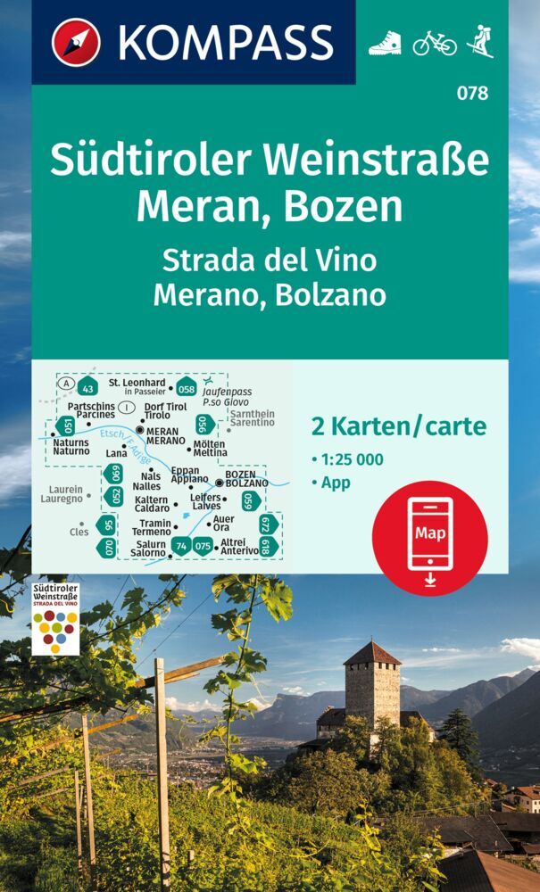
Wandelkaart 078 Südtiroler Weinstraße, Meran, Bozen | Kompass
€ 16,-Goede wandelkaart met vrijwel alle topografische details als hoogtelijnen, vegetatie, schaduwtekening maar ook de …
De Zwerver →
Goede wandelkaart met vrijwel alle topografische details als hoogtelijnen, vegetatie, schaduwtekening maar ook de …
Goede wandelkaart met vrijwel alle topografische details als hoogtelijnen, vegetatie, schaduwtekening maar ook de …
An exciting adventure starting in the bizarre capital of Turkmenistan, Ashgabat, then crossing the Caspian Sea to …
Praktische fietsgids met detailkaarten, ingetekende route, informatie over overnachten en fietsenmakers, zwaarte e…
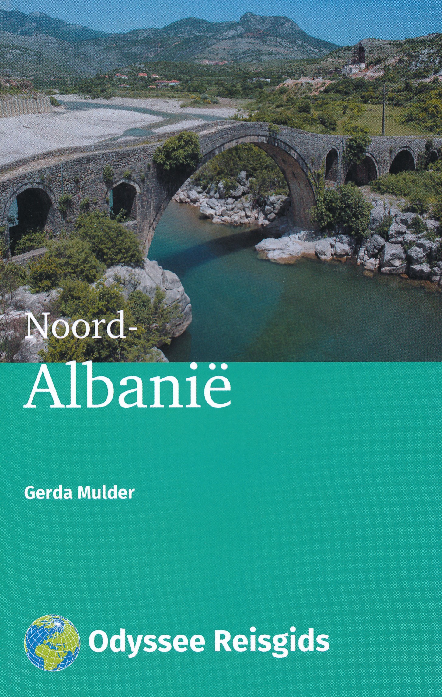
Deze Odyssee Reisgids geeft informatie over Noord-Albanië, een gebied van de Albanese Alpen aan de noordelijke gre…
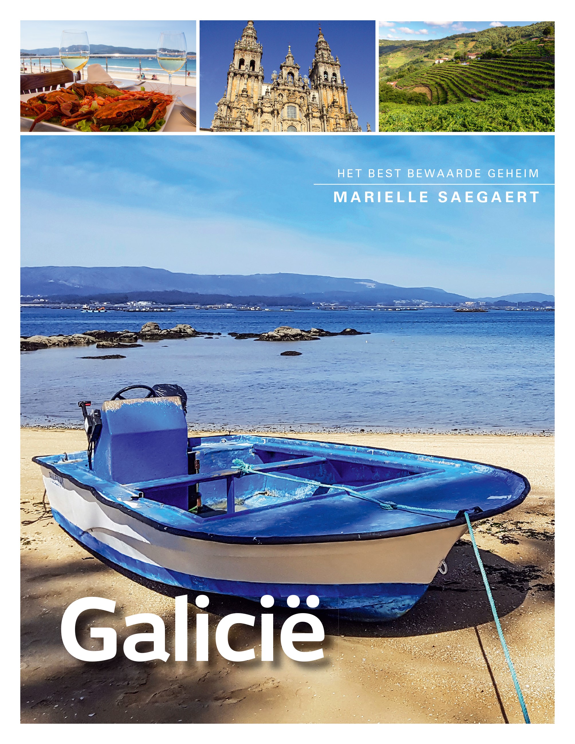
Het voor velen onbekende Galicië laat zich, net als zijn bewoners, niet makkelijk kennen. Het is het eindpunt van …

Goede informatieve gids met nadruk op praktische informatie om rond te reizen. Echter ook aandacht voor cultuur en…
Een degelijke kaart met aanduidingen van o.a. nationale parken, vliegveld, benzinepomp, dirt-roads en kleine platt…
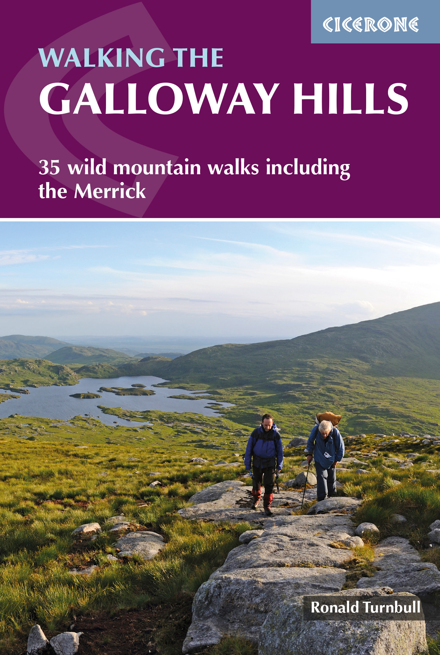
Uitstekende wandelgids van galloway! This guide covers 35 day walks and one long-distance route in the wild an…

Uitstekende wandelgids van de Cambrian Way, waarbij naast alle noodzakelijke informatie ook gebruik gemaakt wordt …