Reisgids Verdun en omgeving - eerste wereldoorlog | War travel
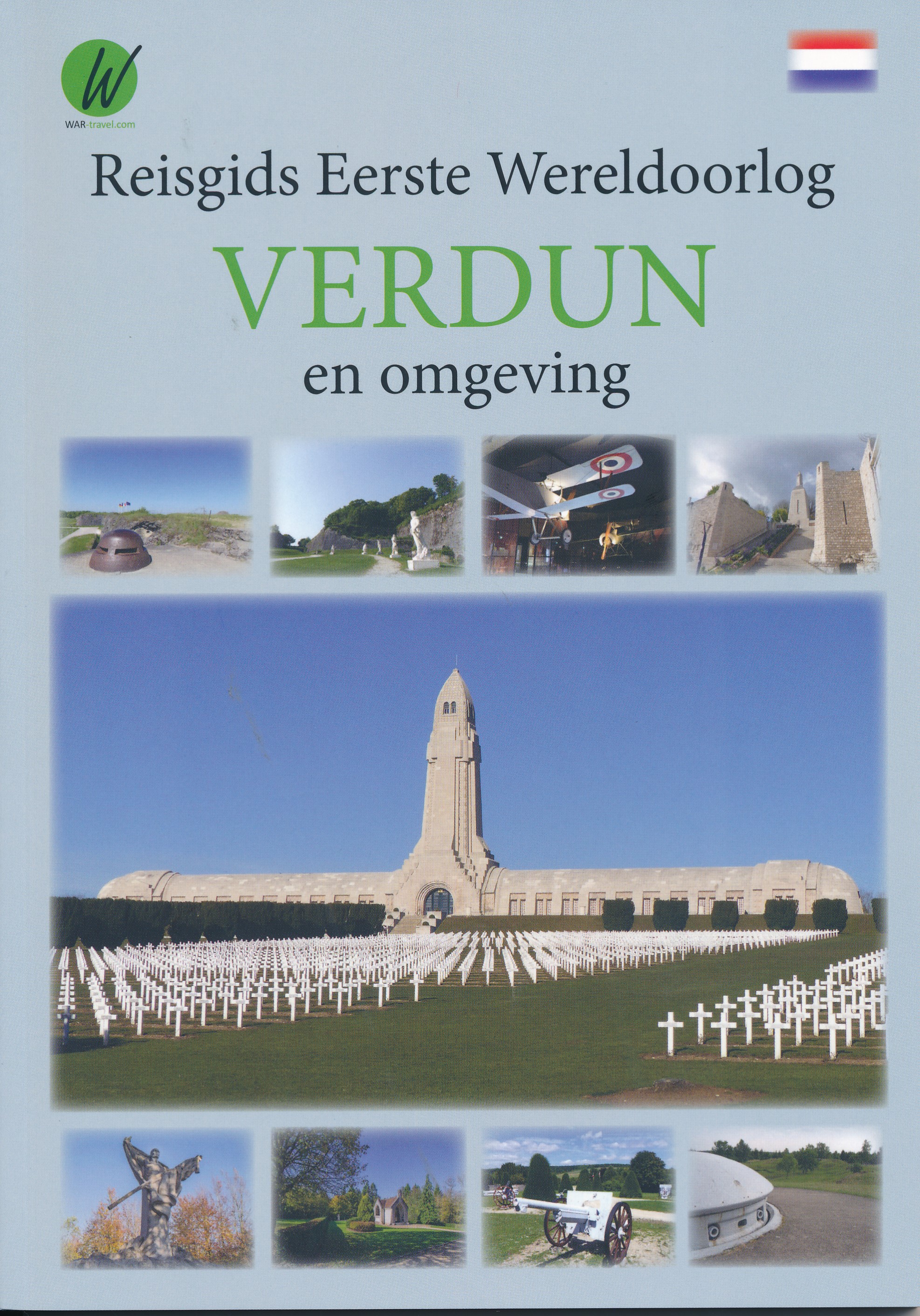
€ 15,-Verdun, een prachtige oude stad, gelegen aan de Maas en gebouwd rond de oude Citadel was tijdens de Eerste Wereldo…
De Zwerver →
Verdun, een prachtige oude stad, gelegen aan de Maas en gebouwd rond de oude Citadel was tijdens de Eerste Wereldo…
Whether you want to stroll the atmospheric streets of Old San Juan, lounge on the island's beautiful beaches, or e…
Voor vele landen net zo goed, zo niet beter dan de Planet. Beduidend soberder uitgevoerd, maar ook met veel inform…
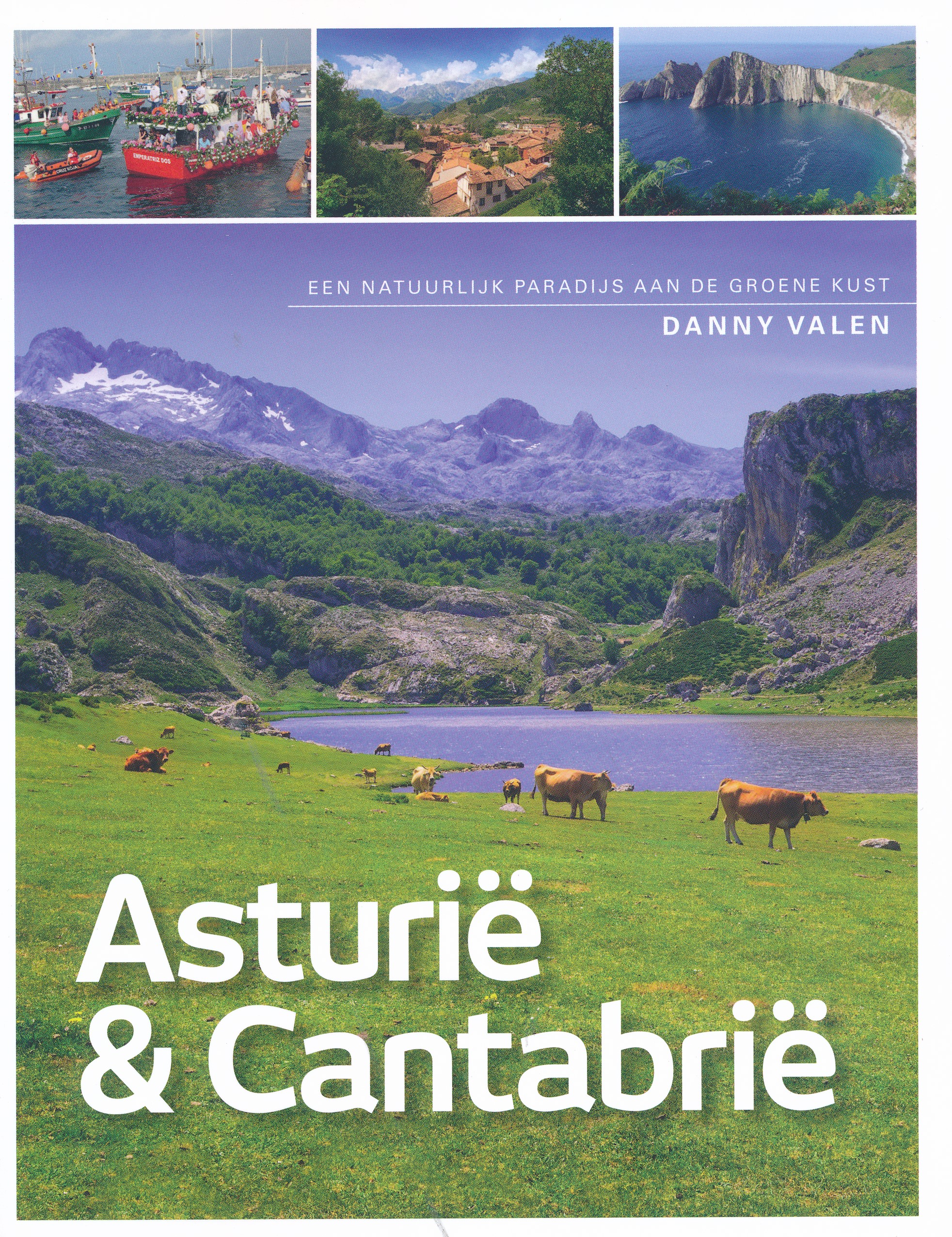
Asturië en Cantabrië: het natuurlijke paradijs aan de groene kust van Noord Spanje. Een droomland volgens auteur D…

Pocket reisgidsen van Lonely Planet zijn een kleinere versie dan de 'echte' Planets. Vaak echter van bijzondere be…
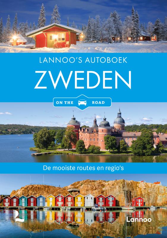
Zweden staat garant voor verrassend gevarieerde natuur: goudgele akkers, lange stranden en badplaatsen met een rij…
Goede Duitstalige reisgids met veel culturele beschrijvingen. Daarnaast ook aandacht voor praktische zaken als ove…
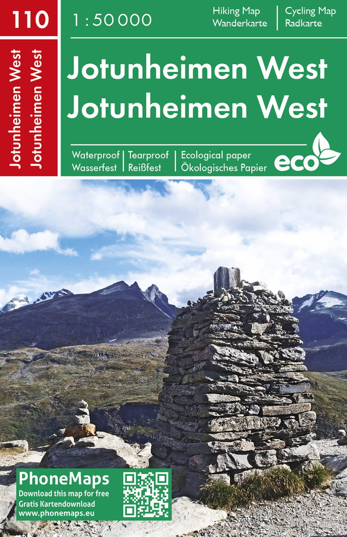
Prachtige tweezijdige wandelkaart en fietskaart van Freytag und Berndt op schaal 1:50.000 van een deel van Noorweg…
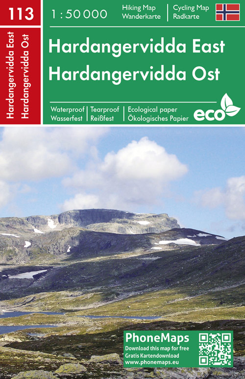
Prachtige tweezijdige wandelkaart en fietskaart van Freytag und Berndt op schaal 1:50.000 van een deel van Noorweg…
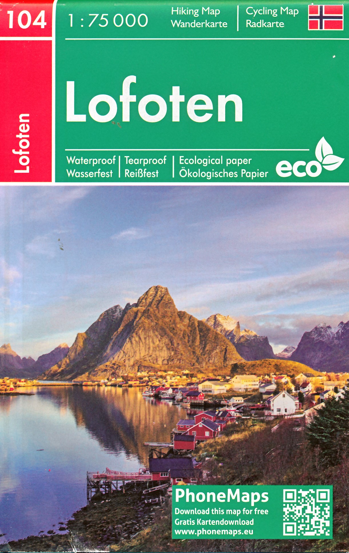
Prachtige tweezijdige wandelkaart en fietskaart van Freytag und Berndt op schaal 1:75.000 van een deel van Noorweg…