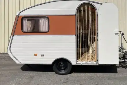
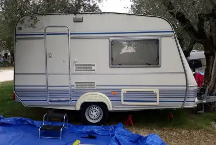
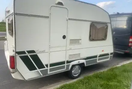
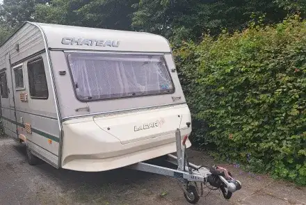
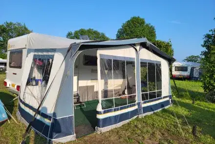
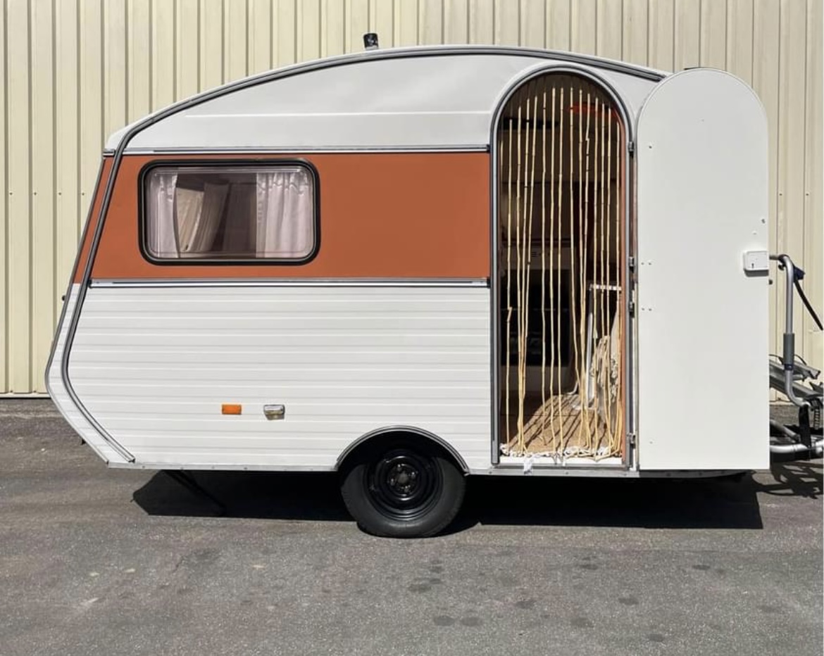
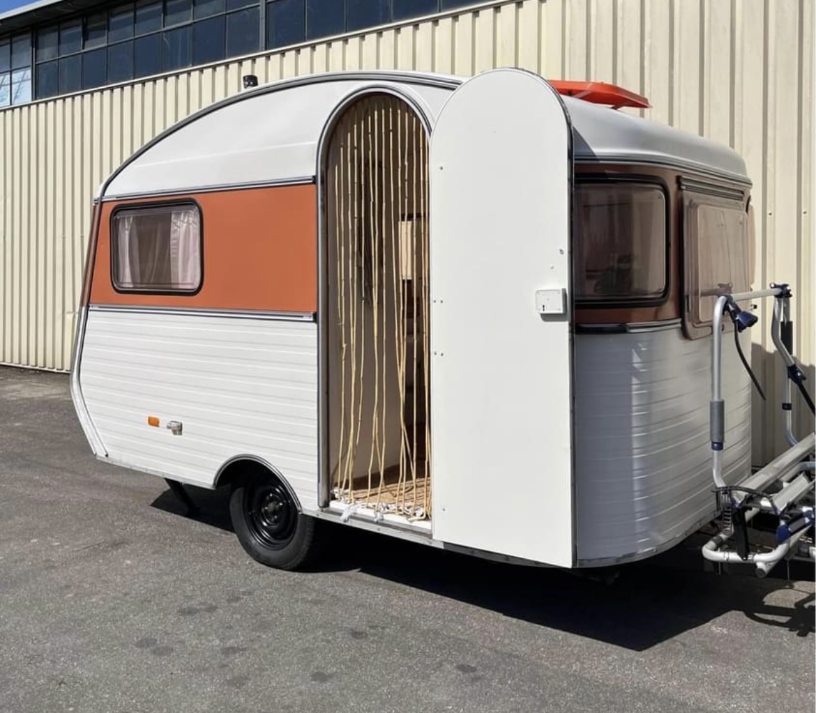
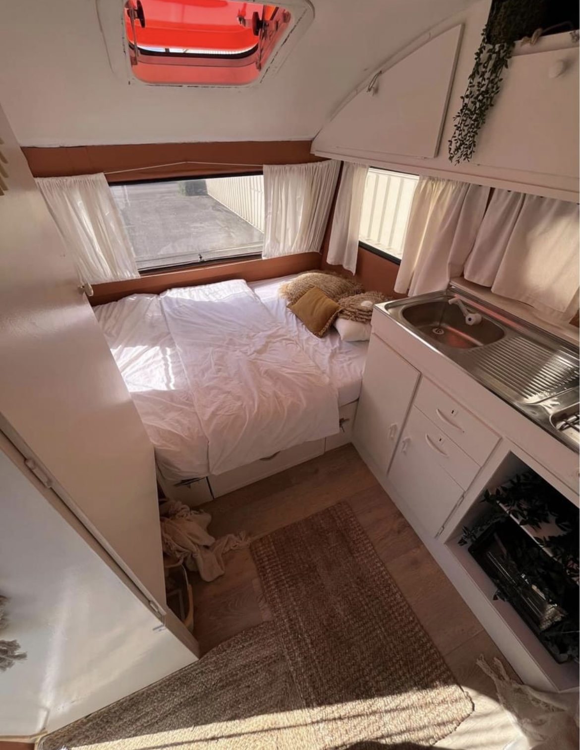
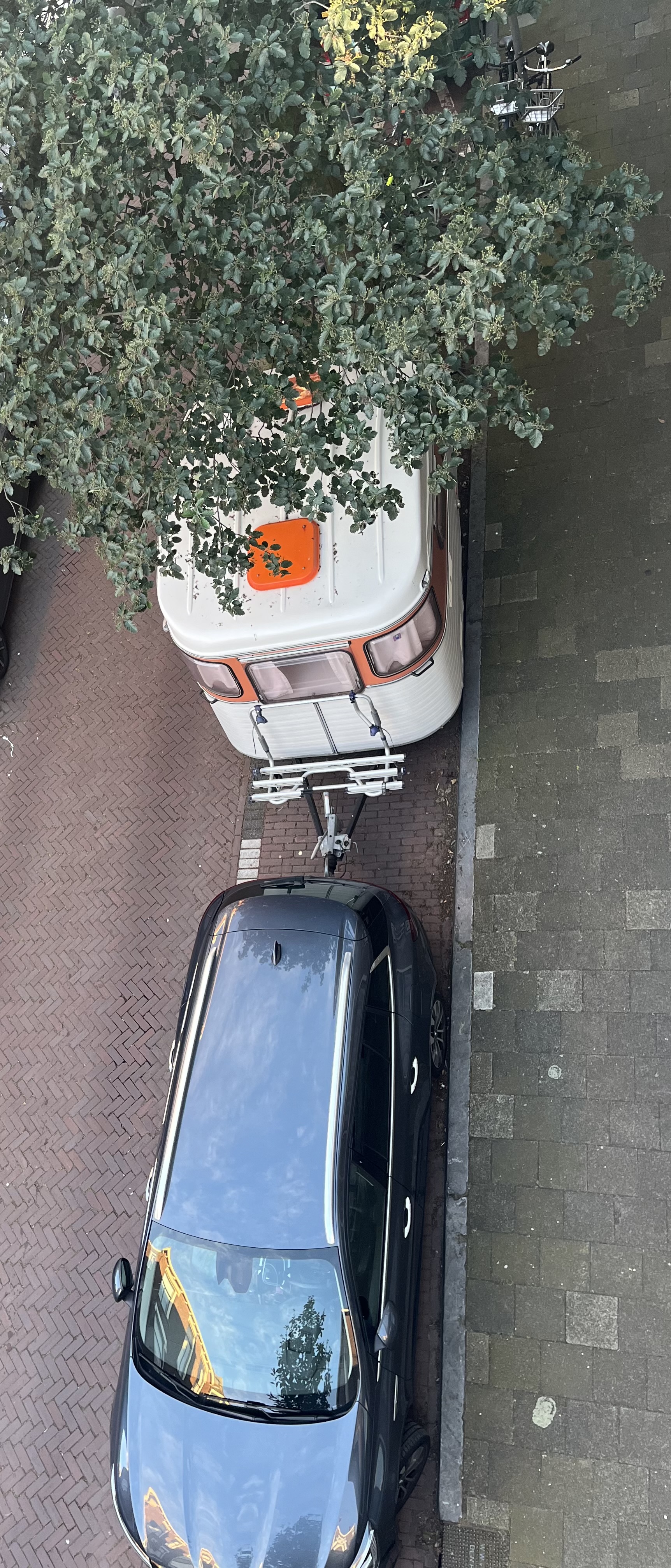
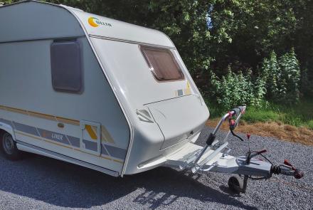
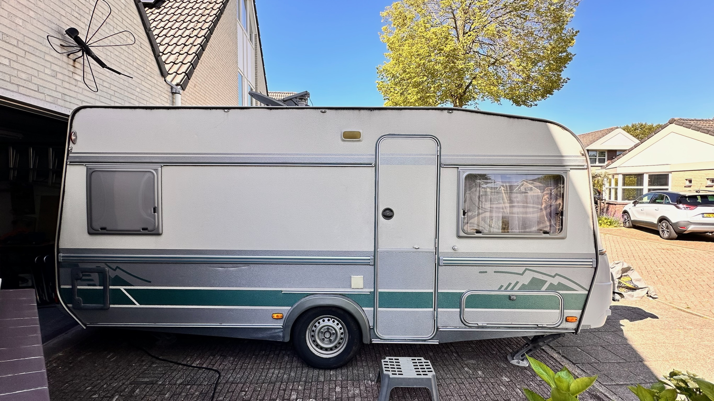
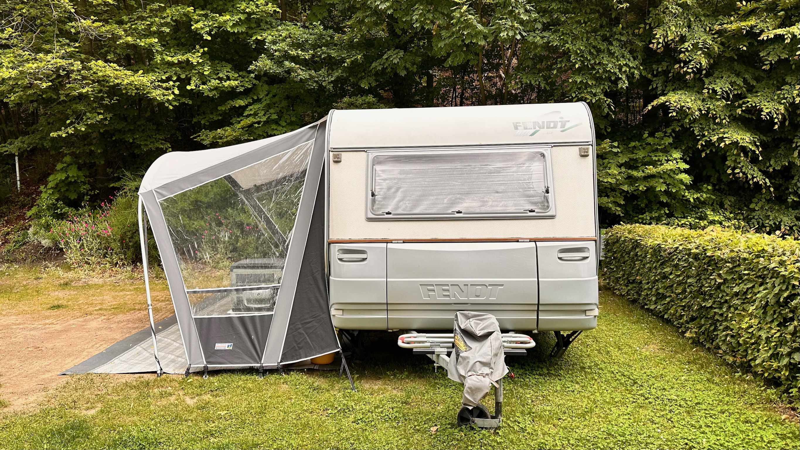
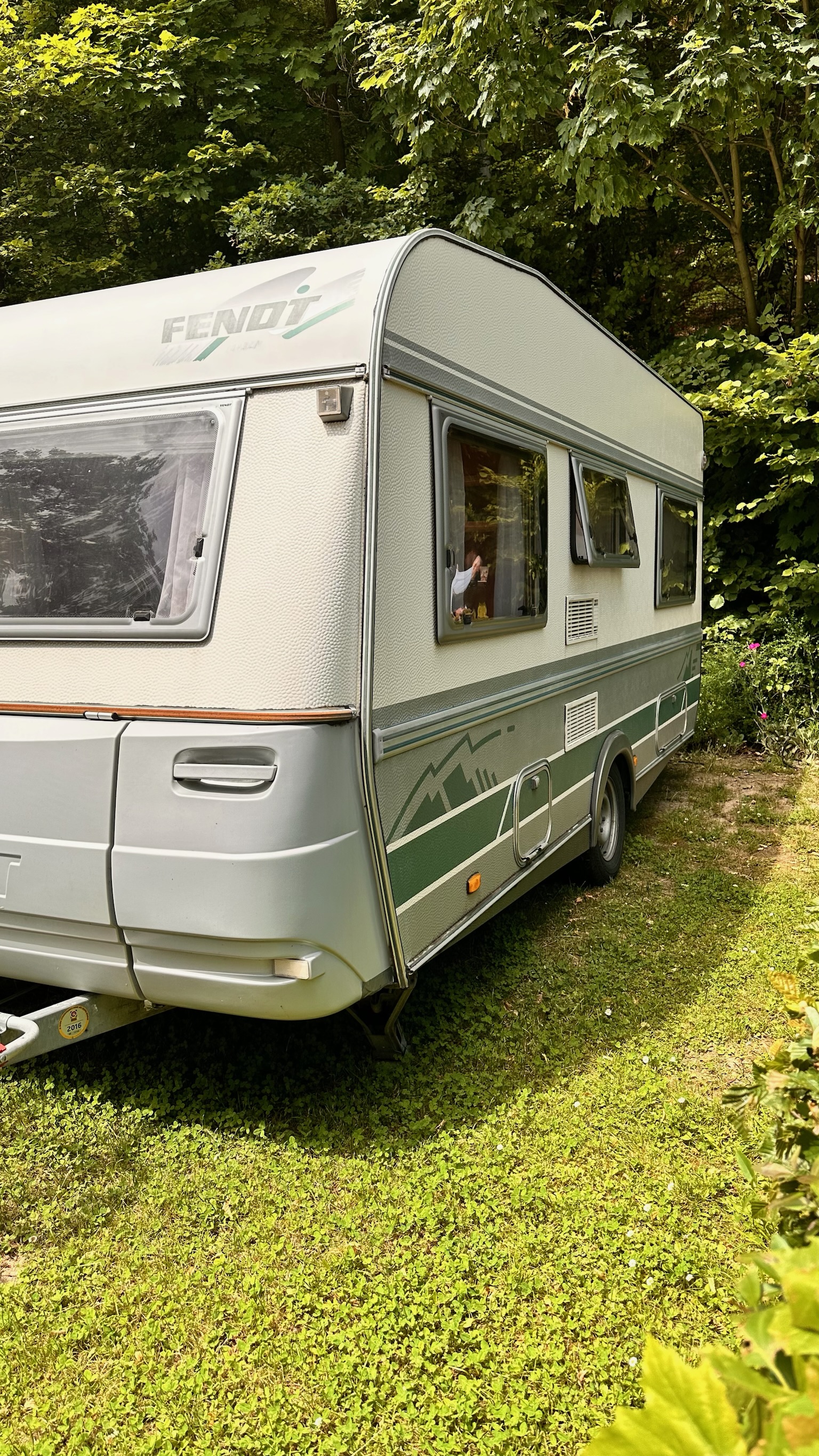
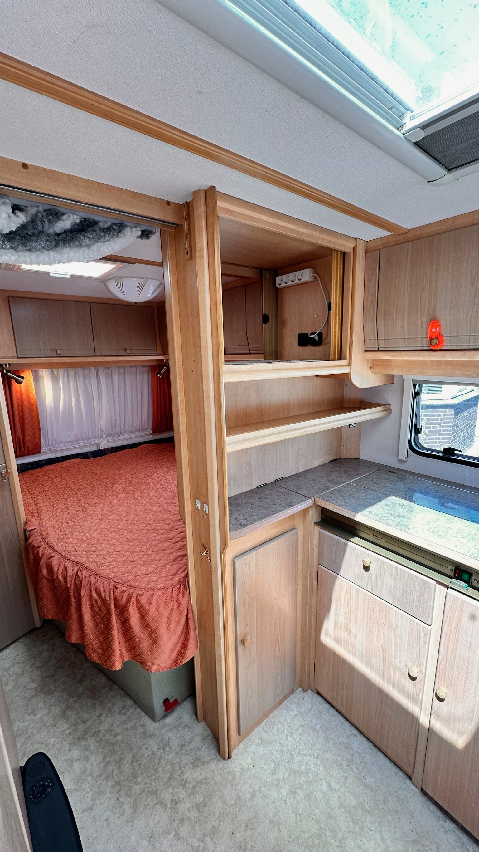
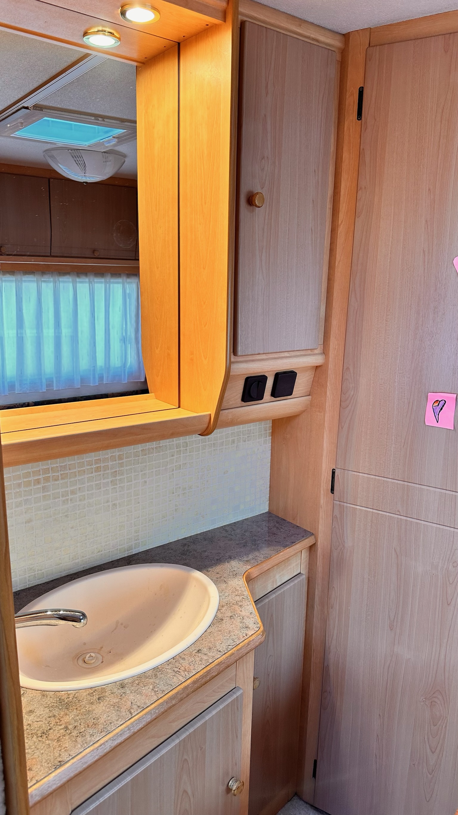
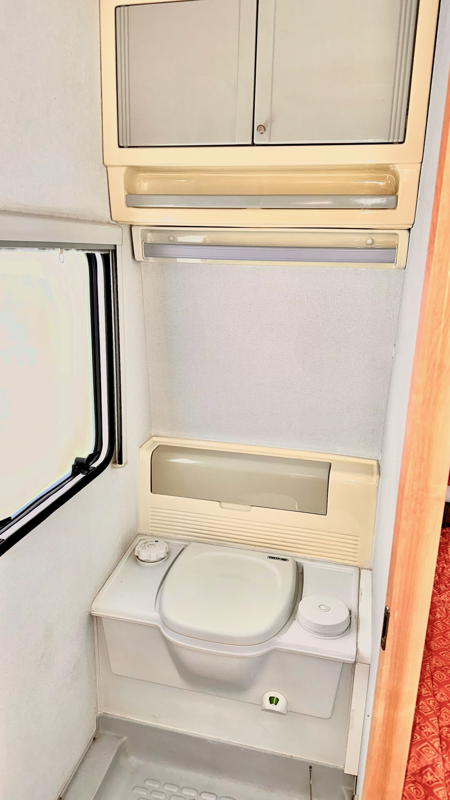
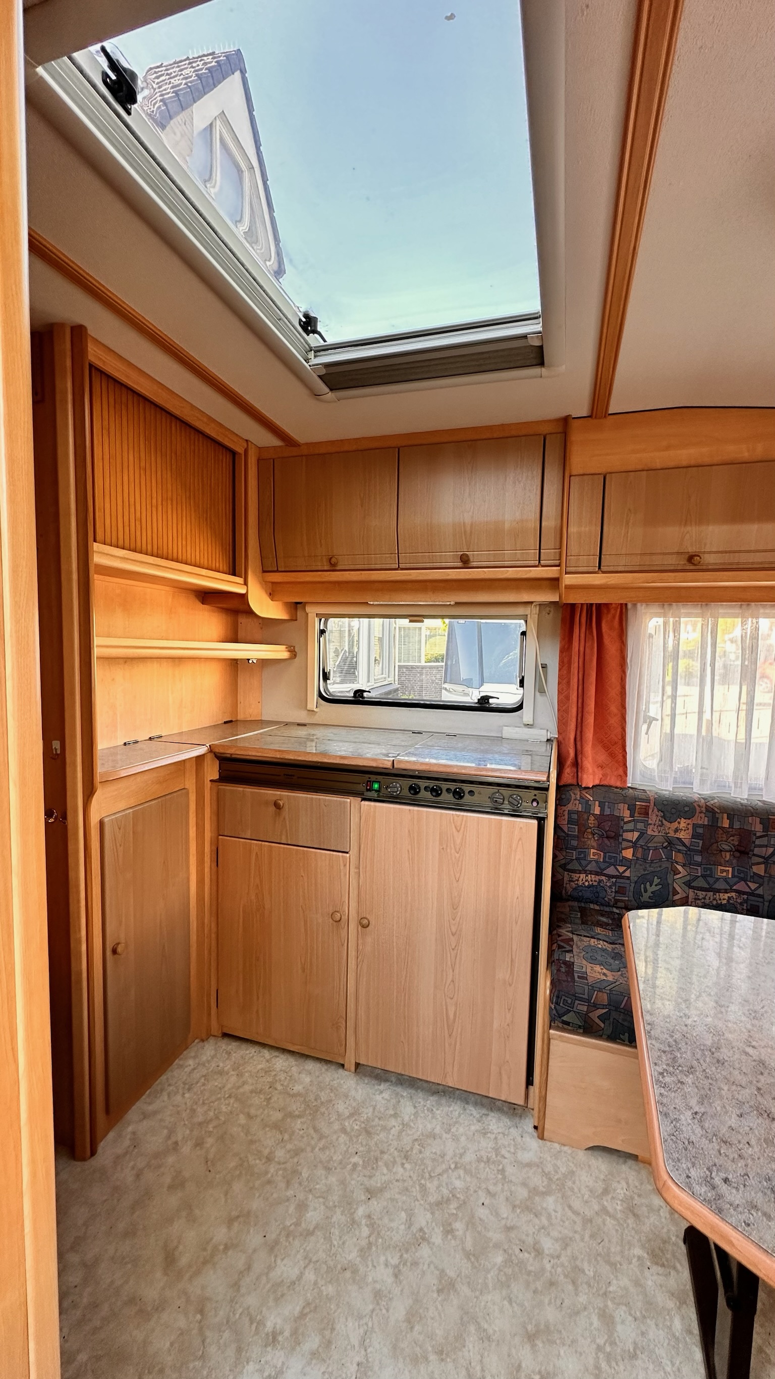
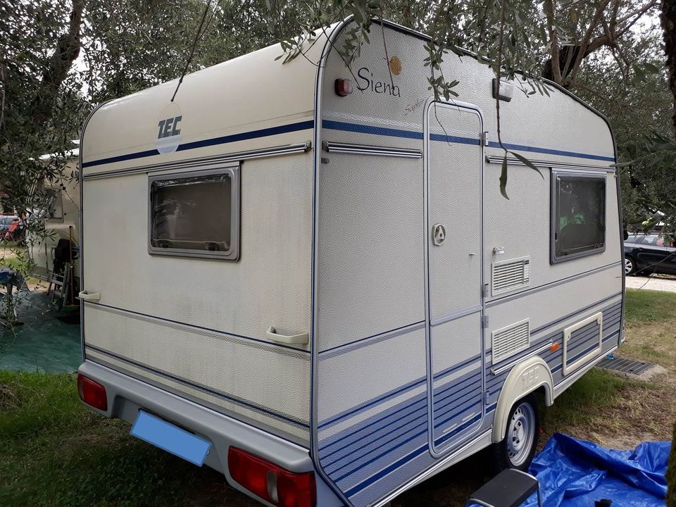
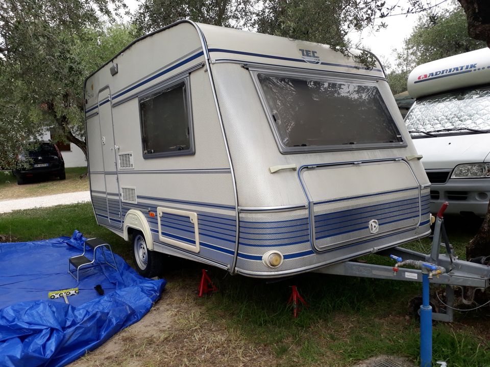
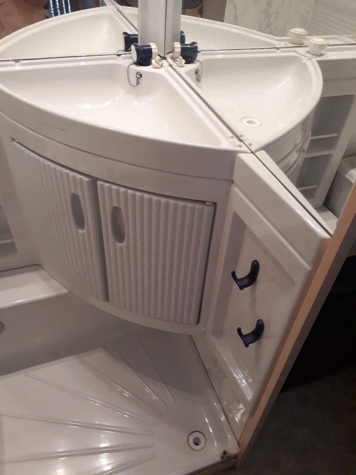
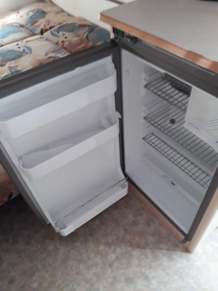
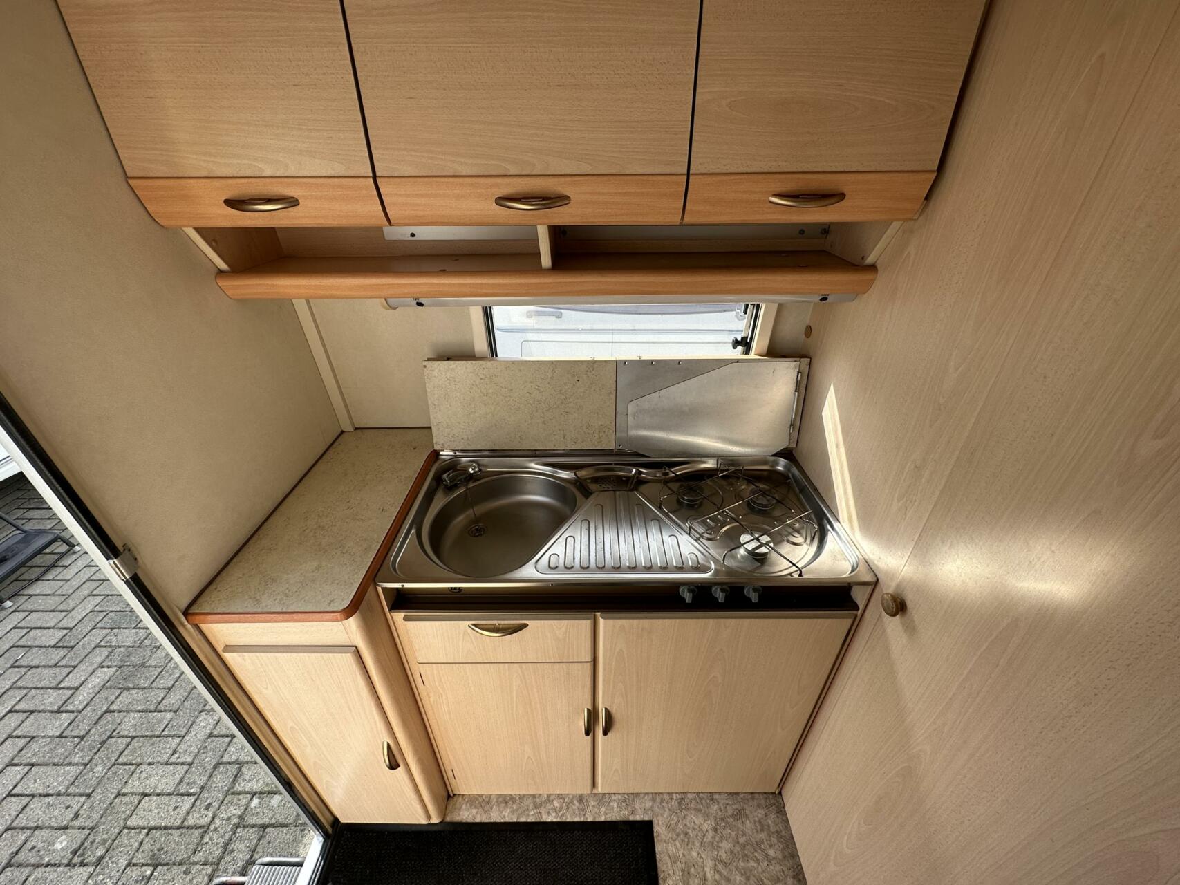
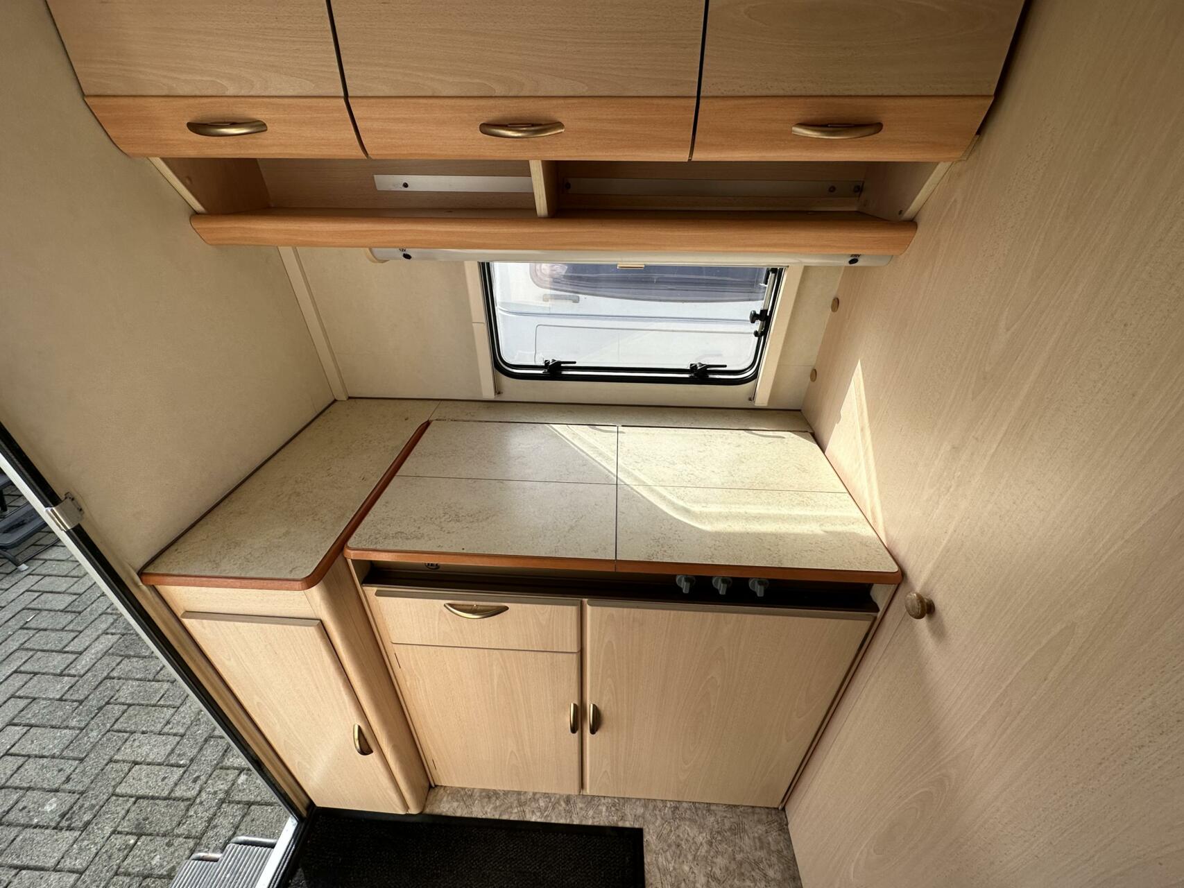
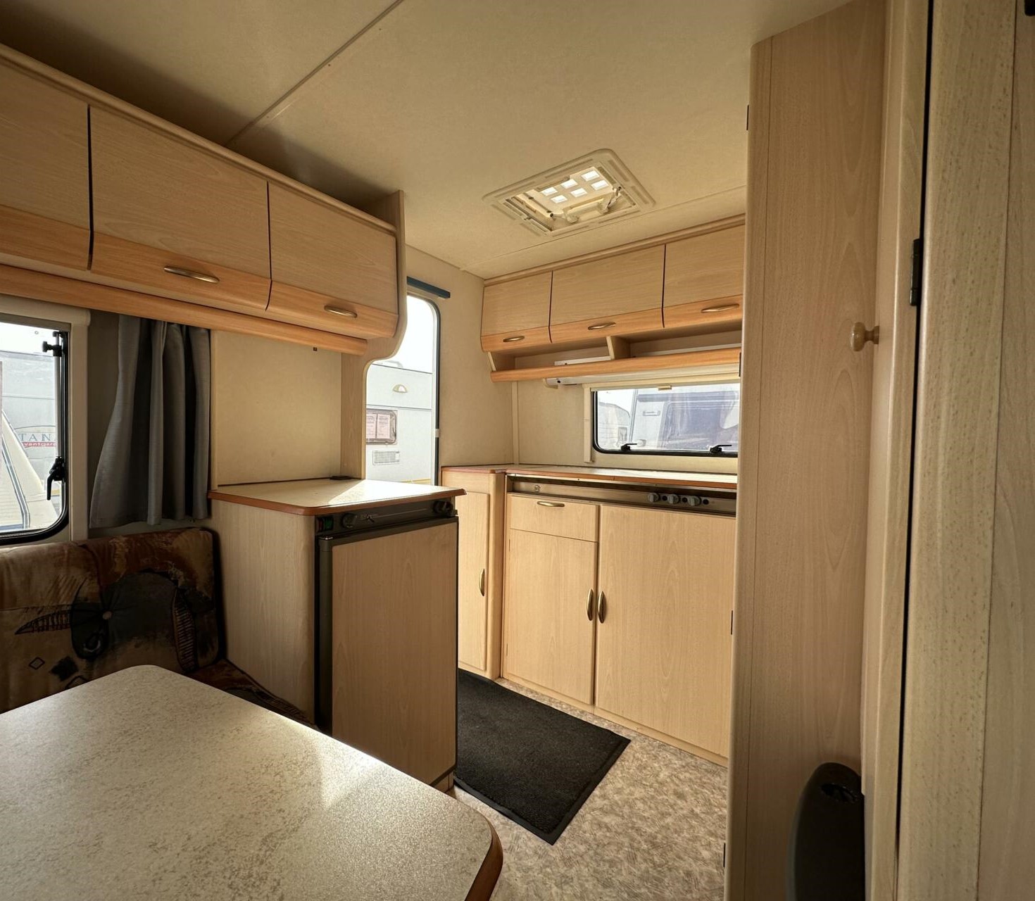
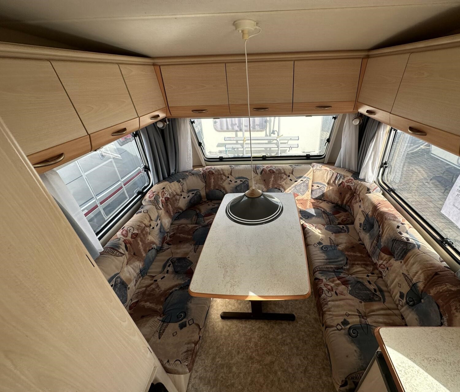
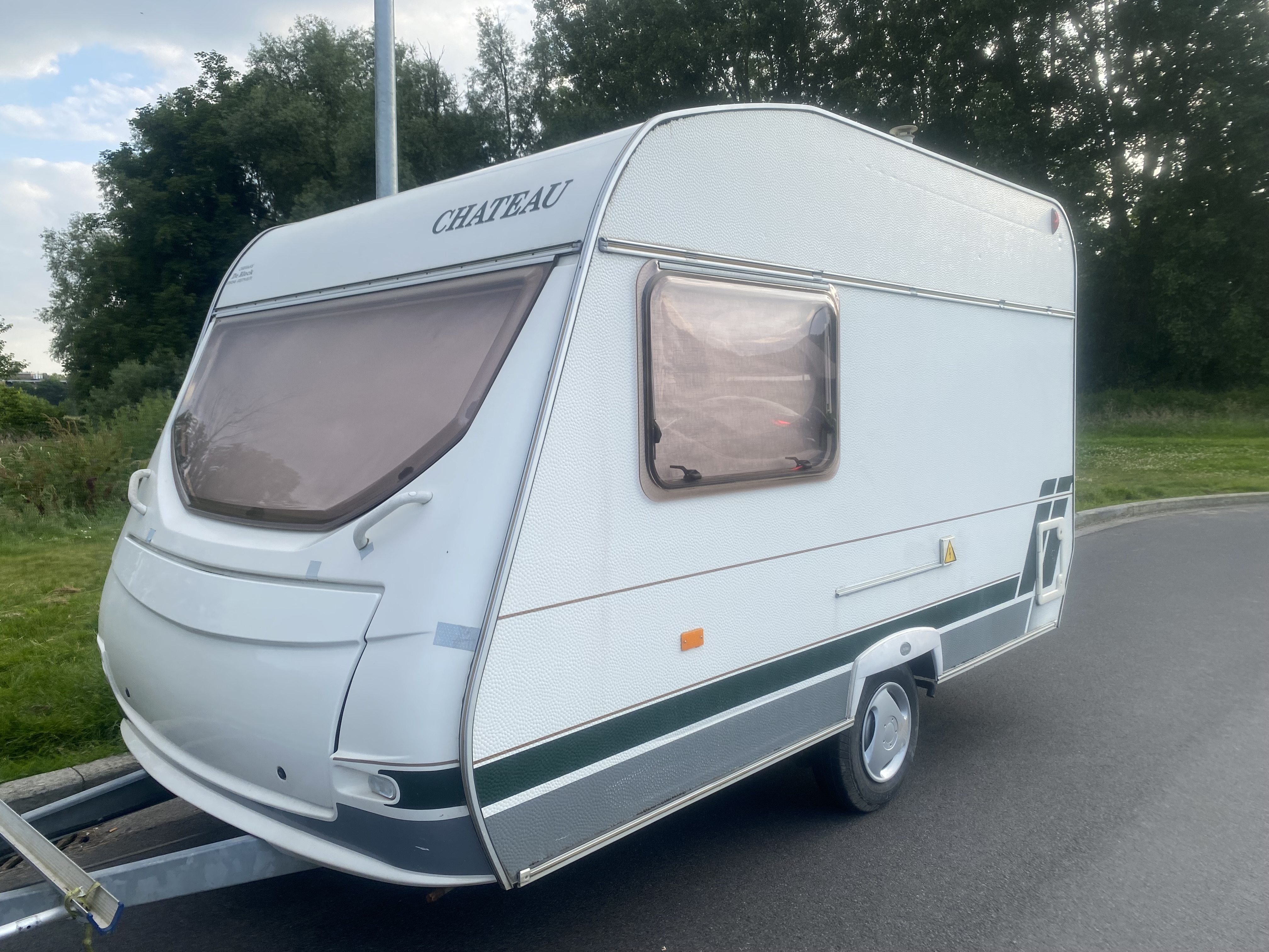
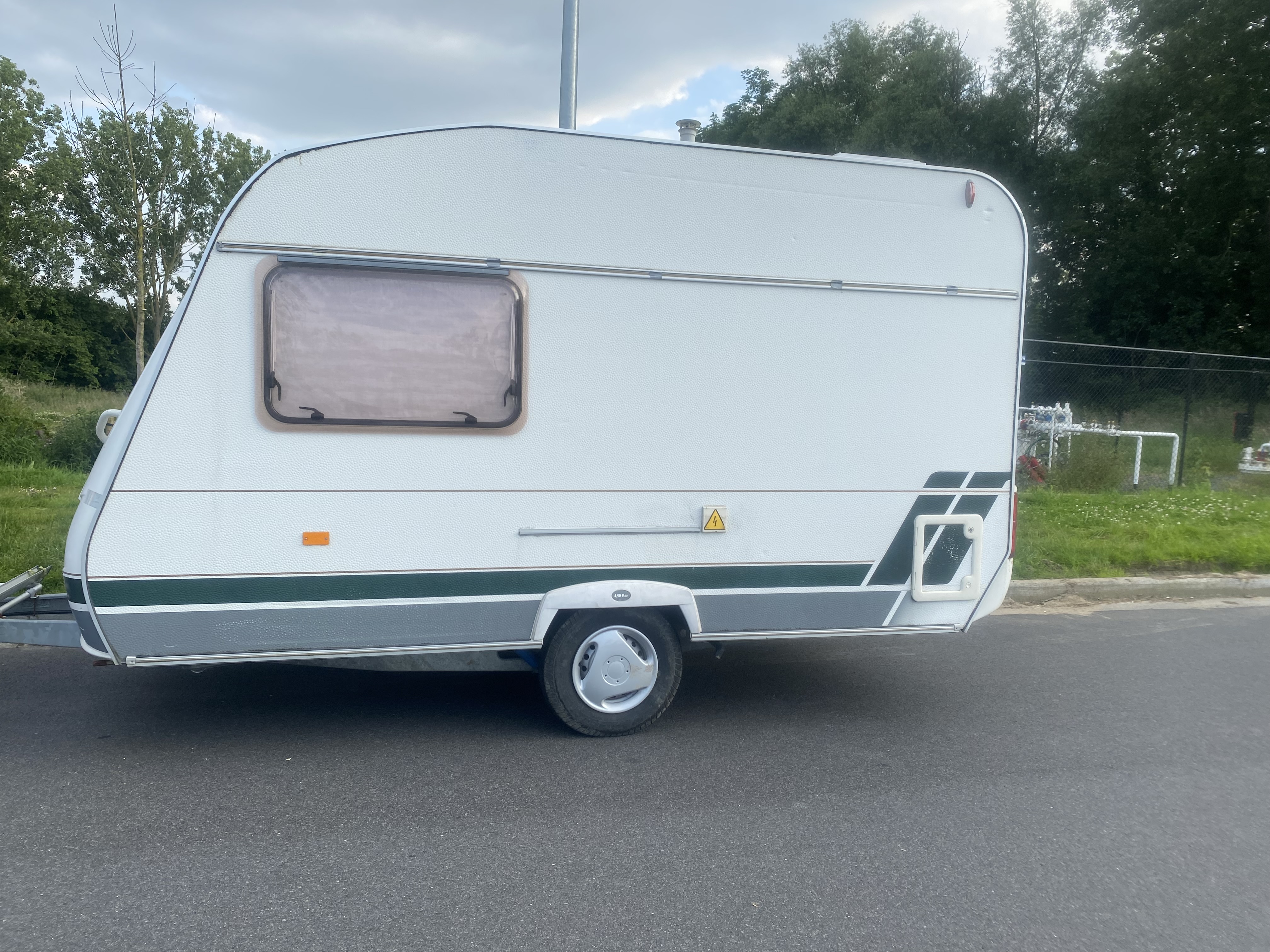
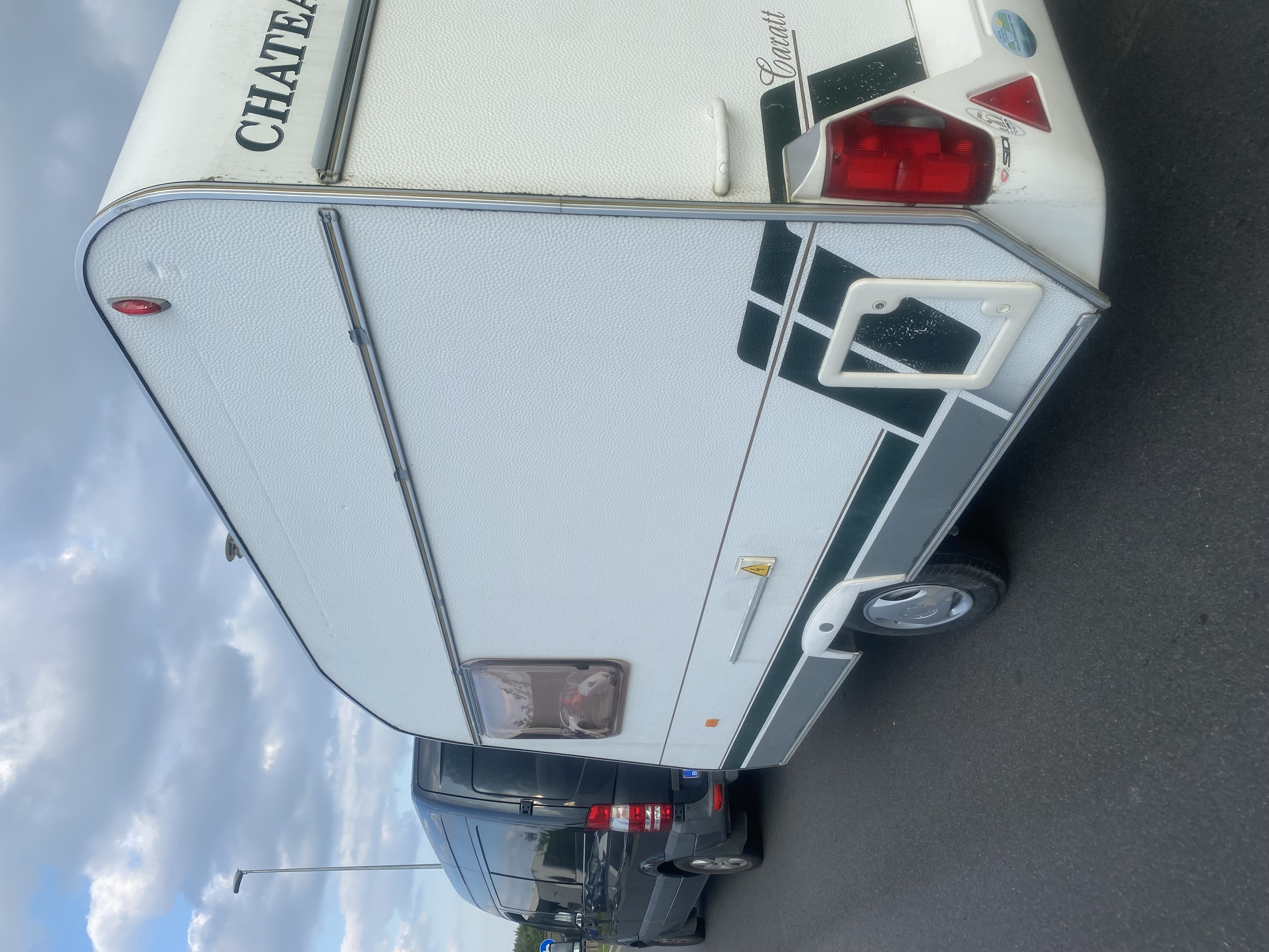
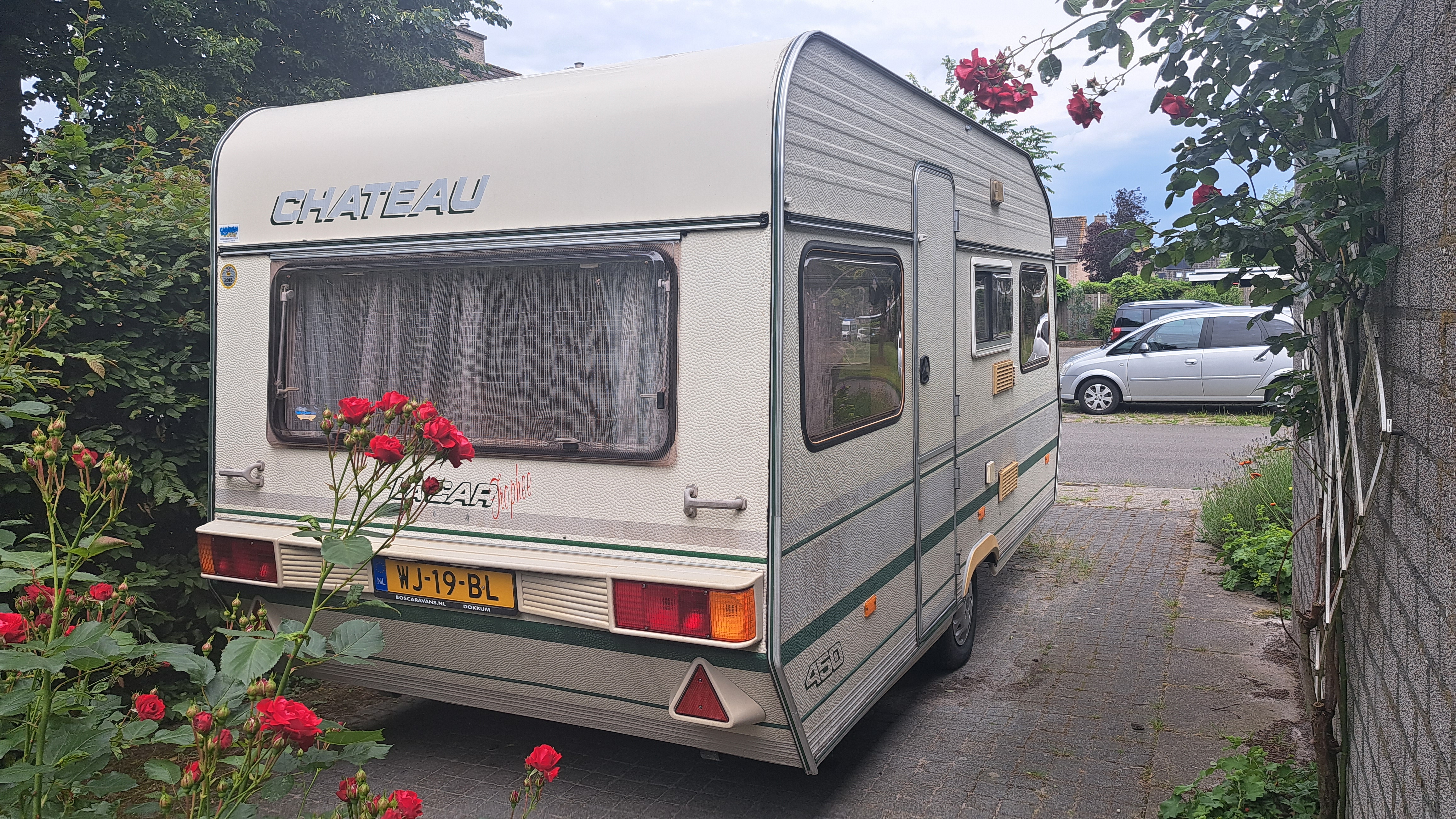
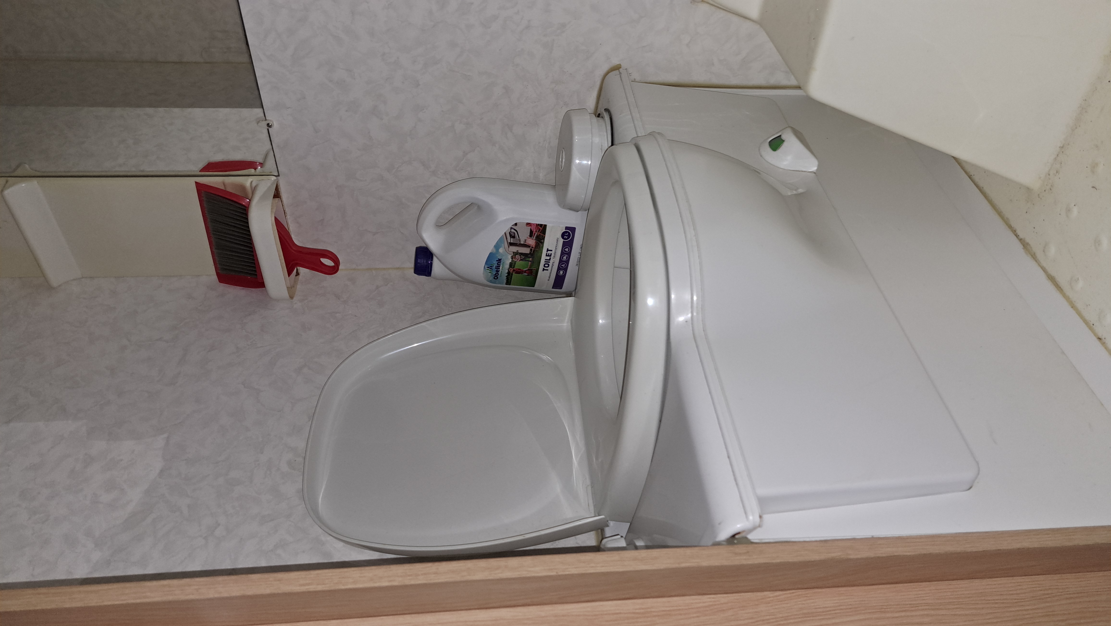
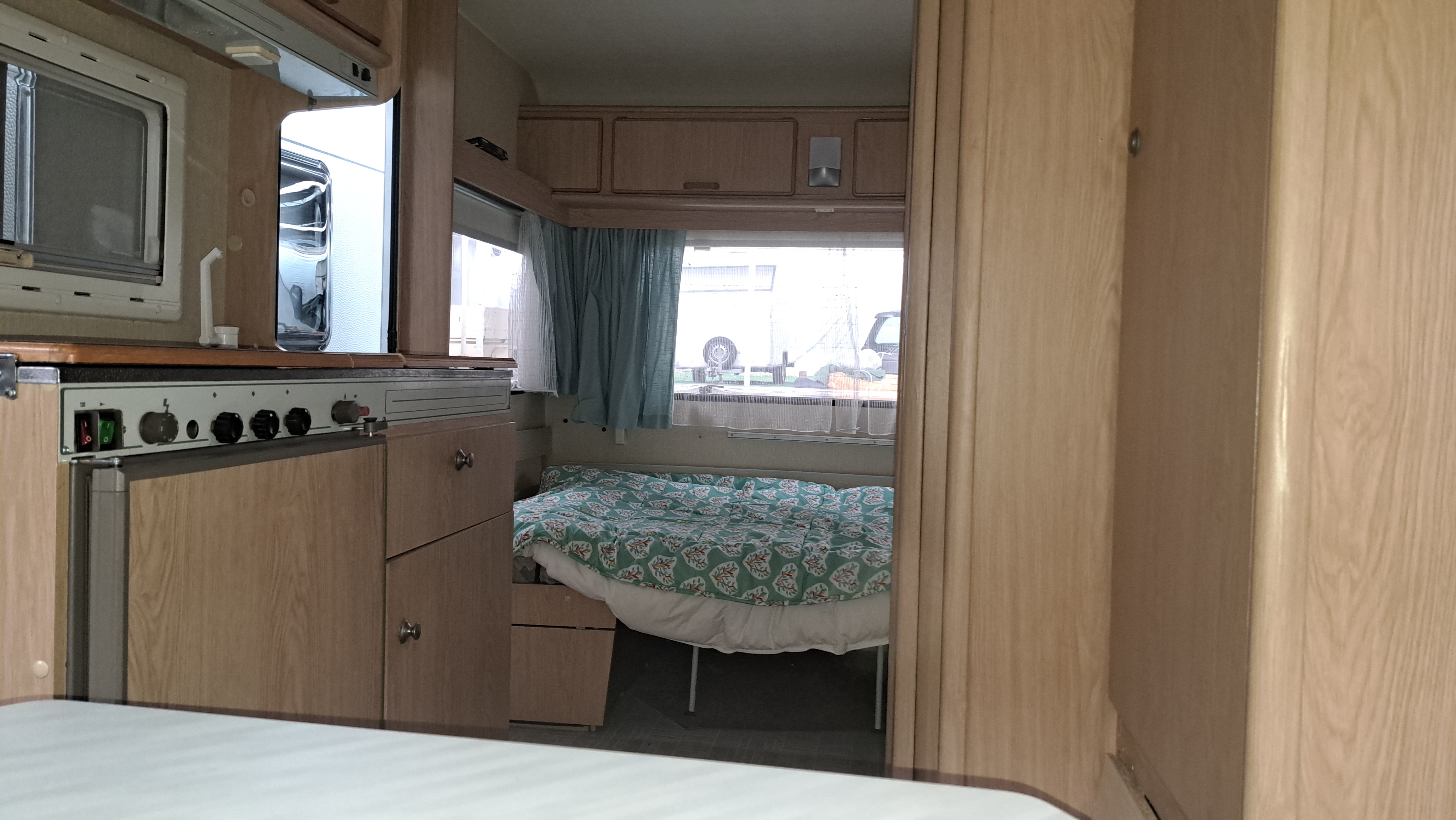
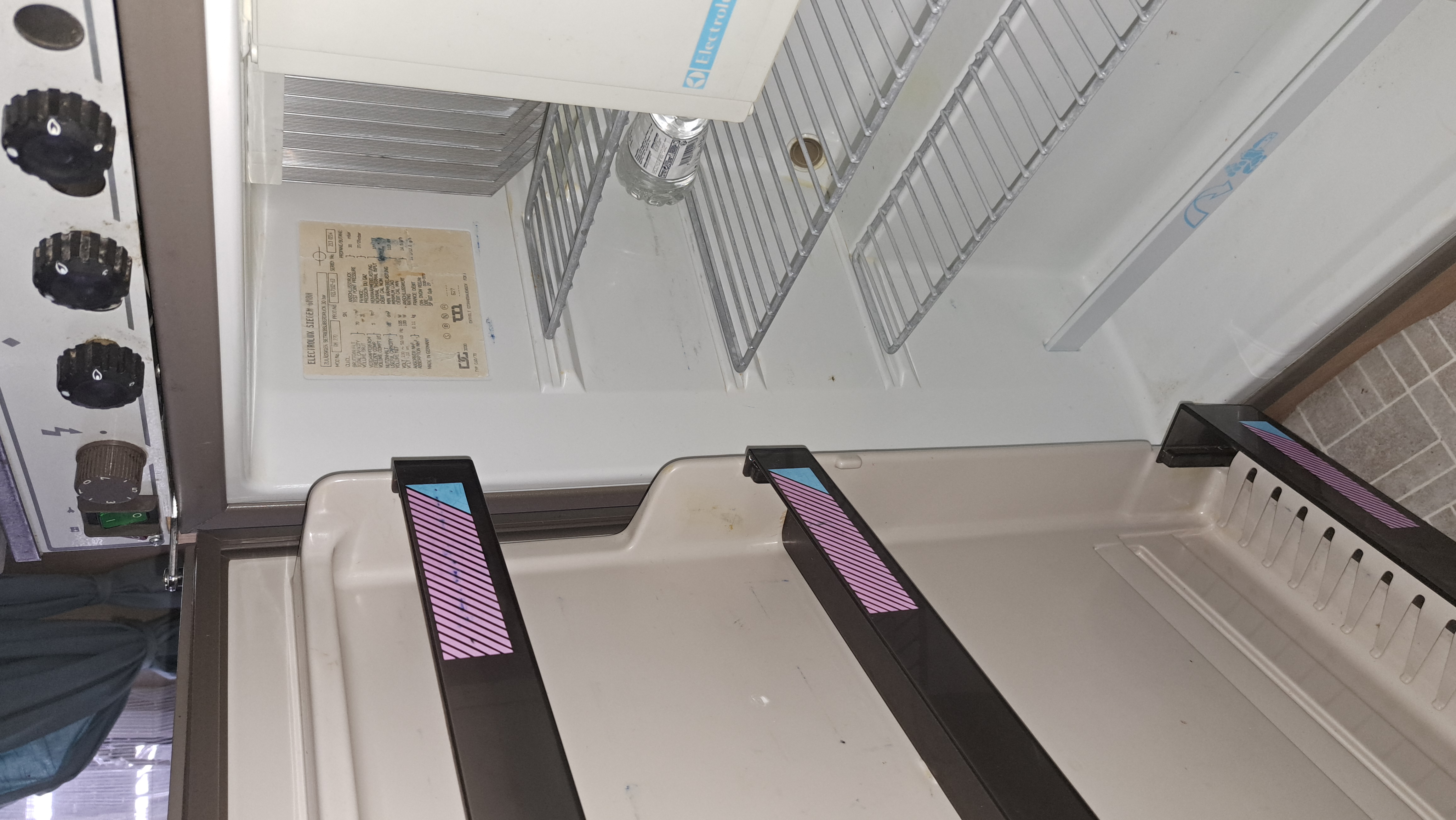
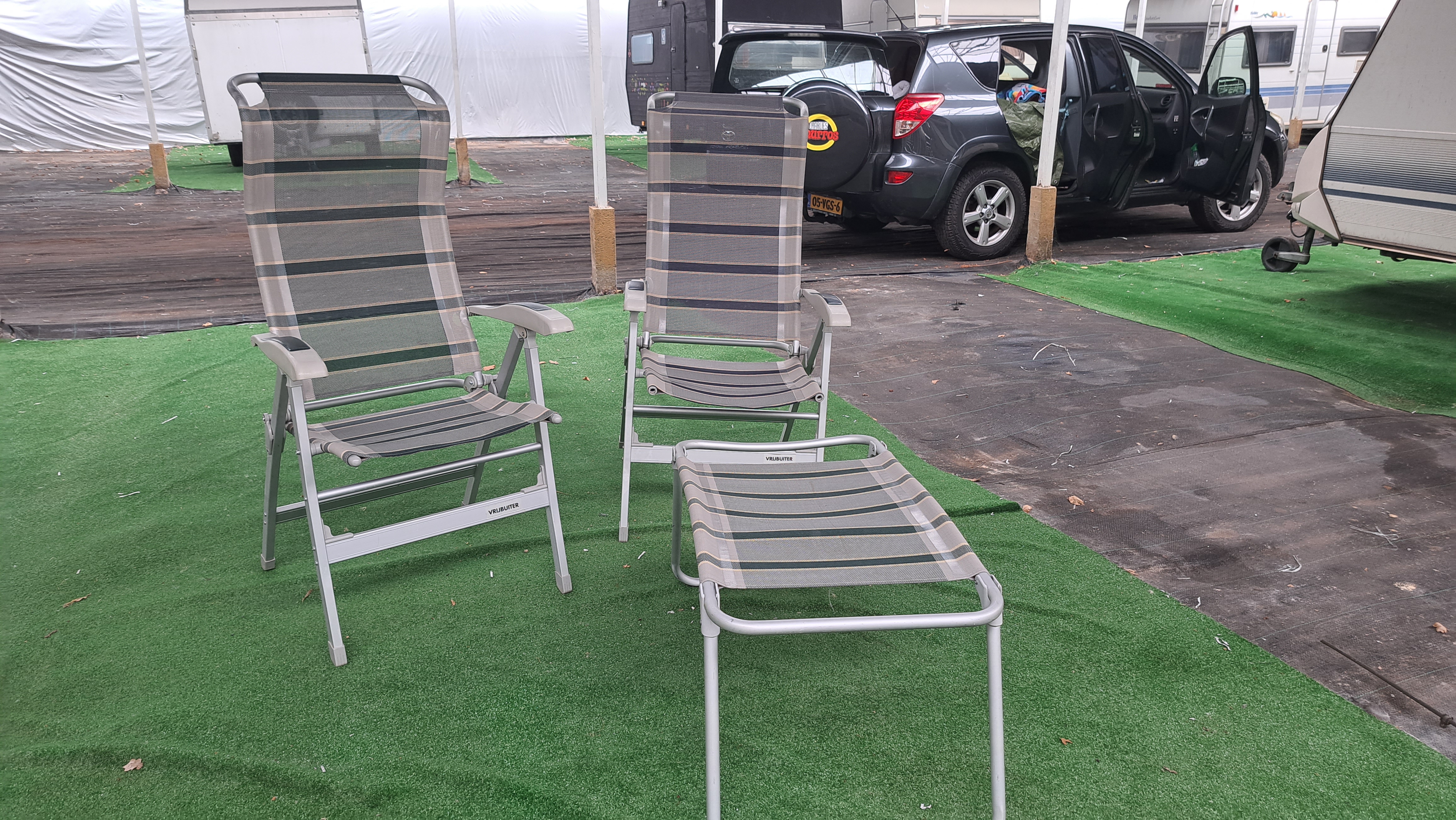
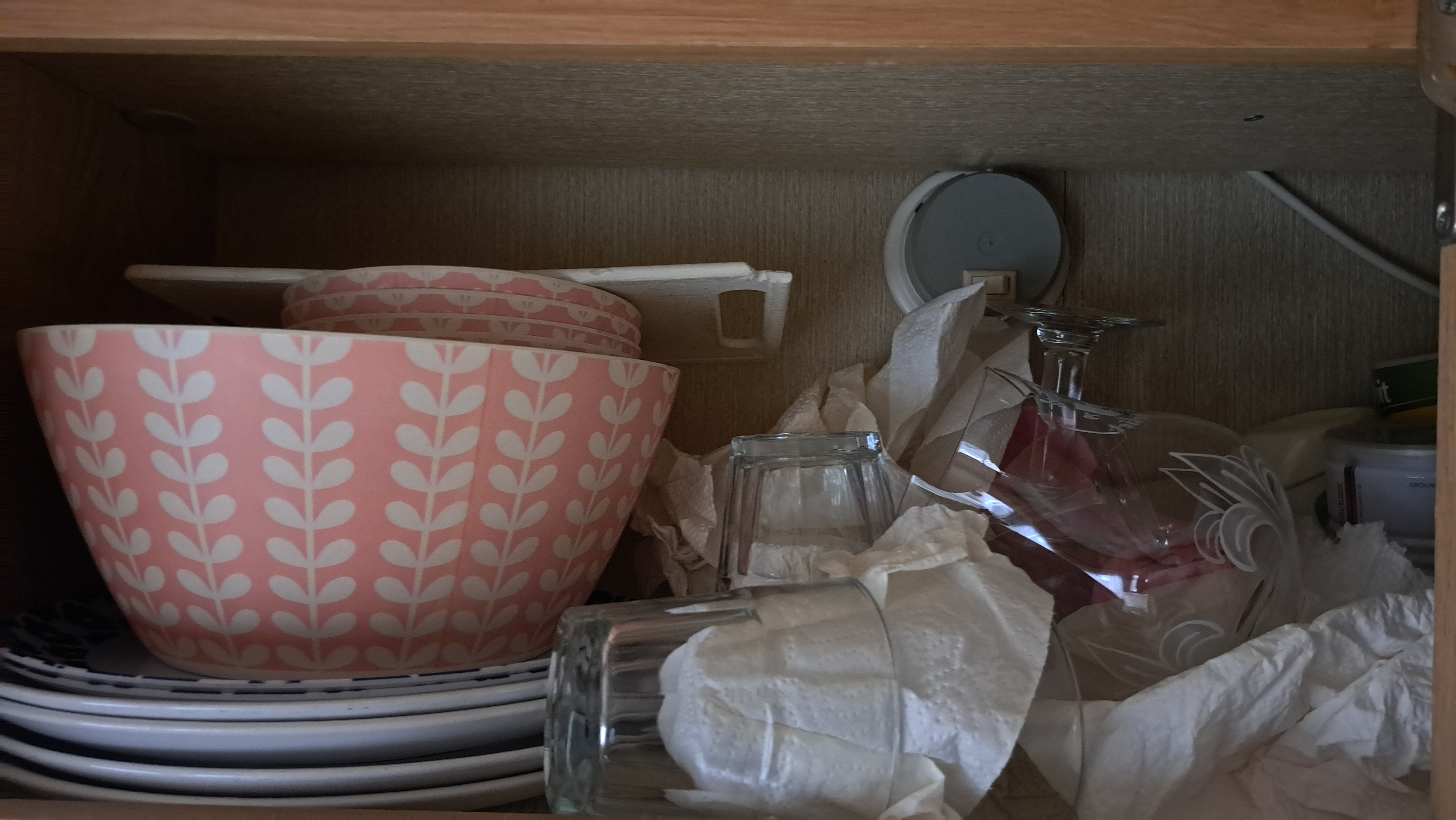
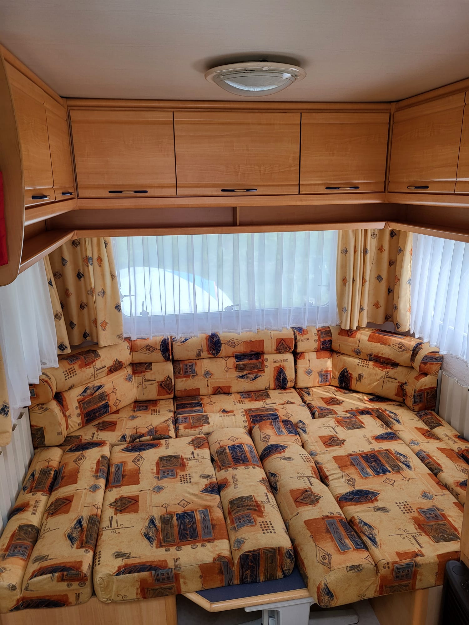
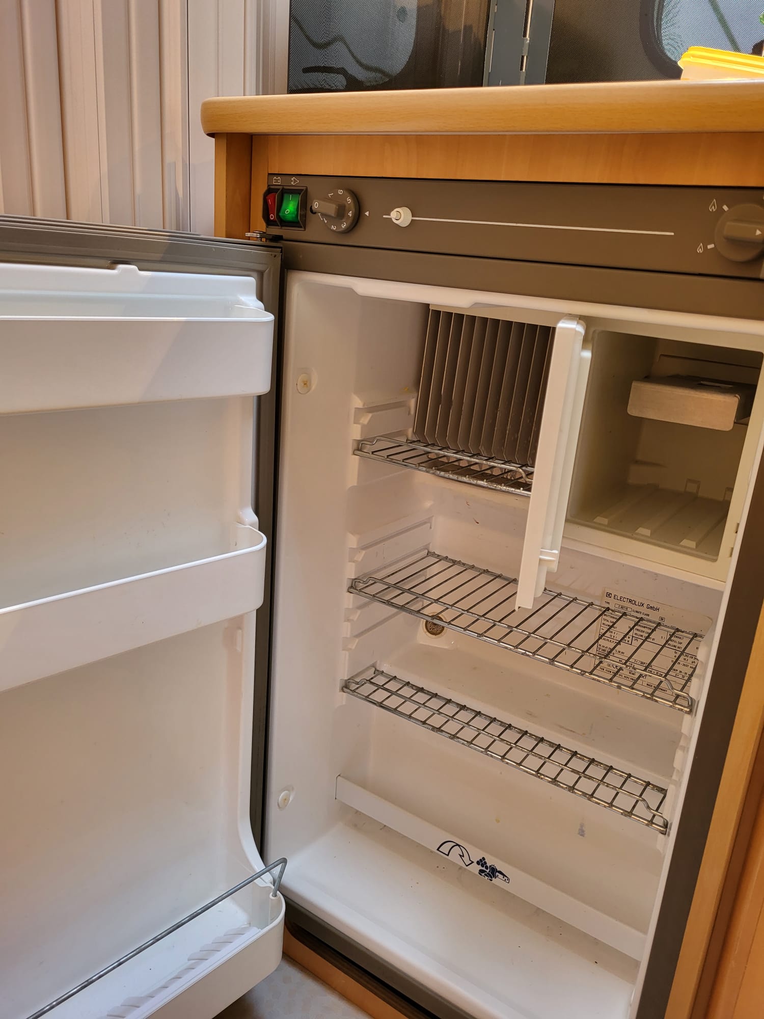
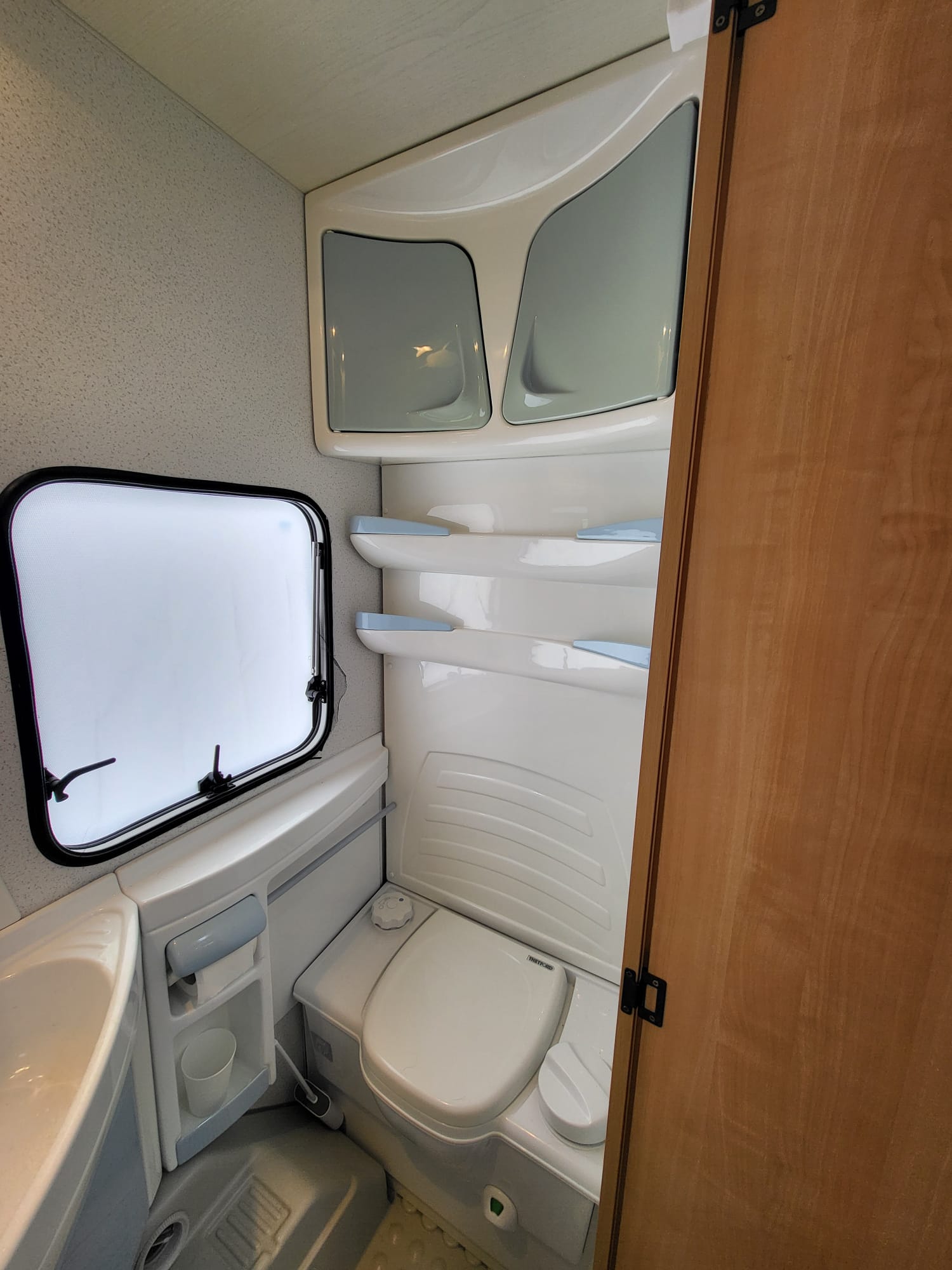
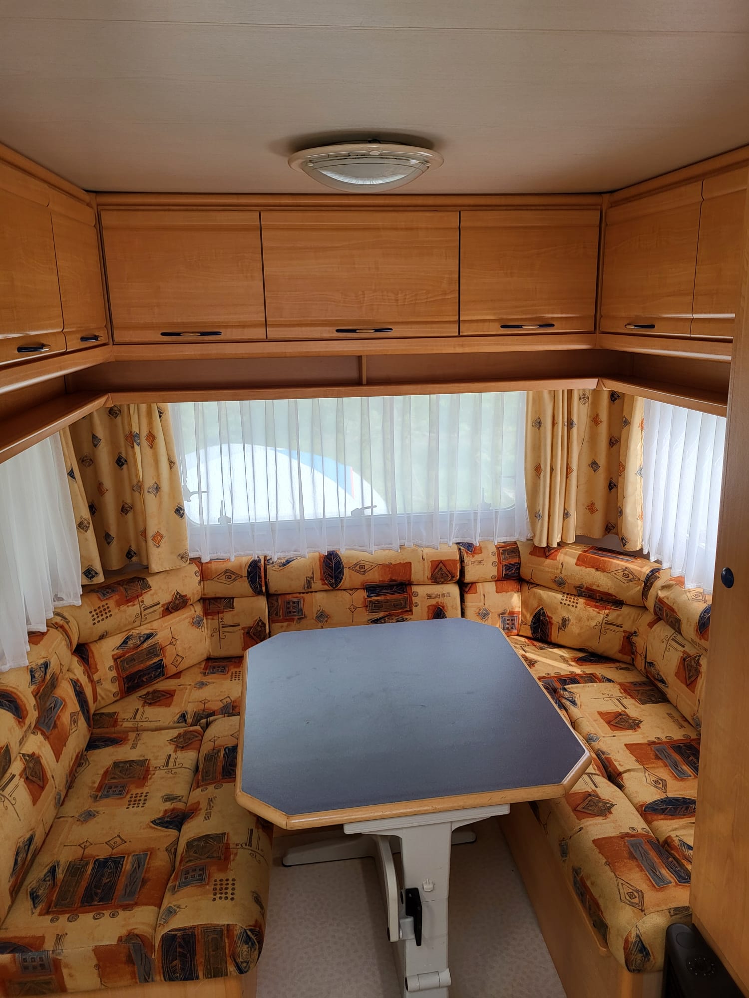
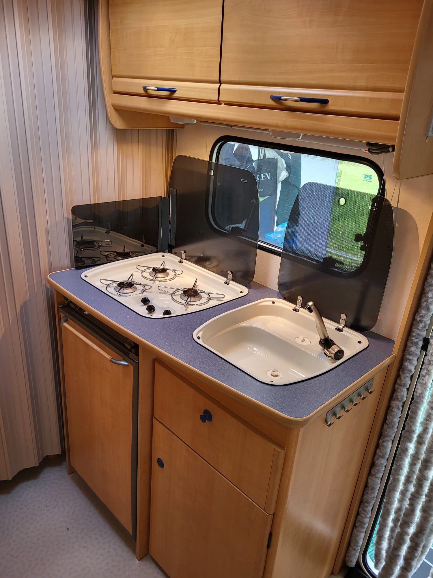
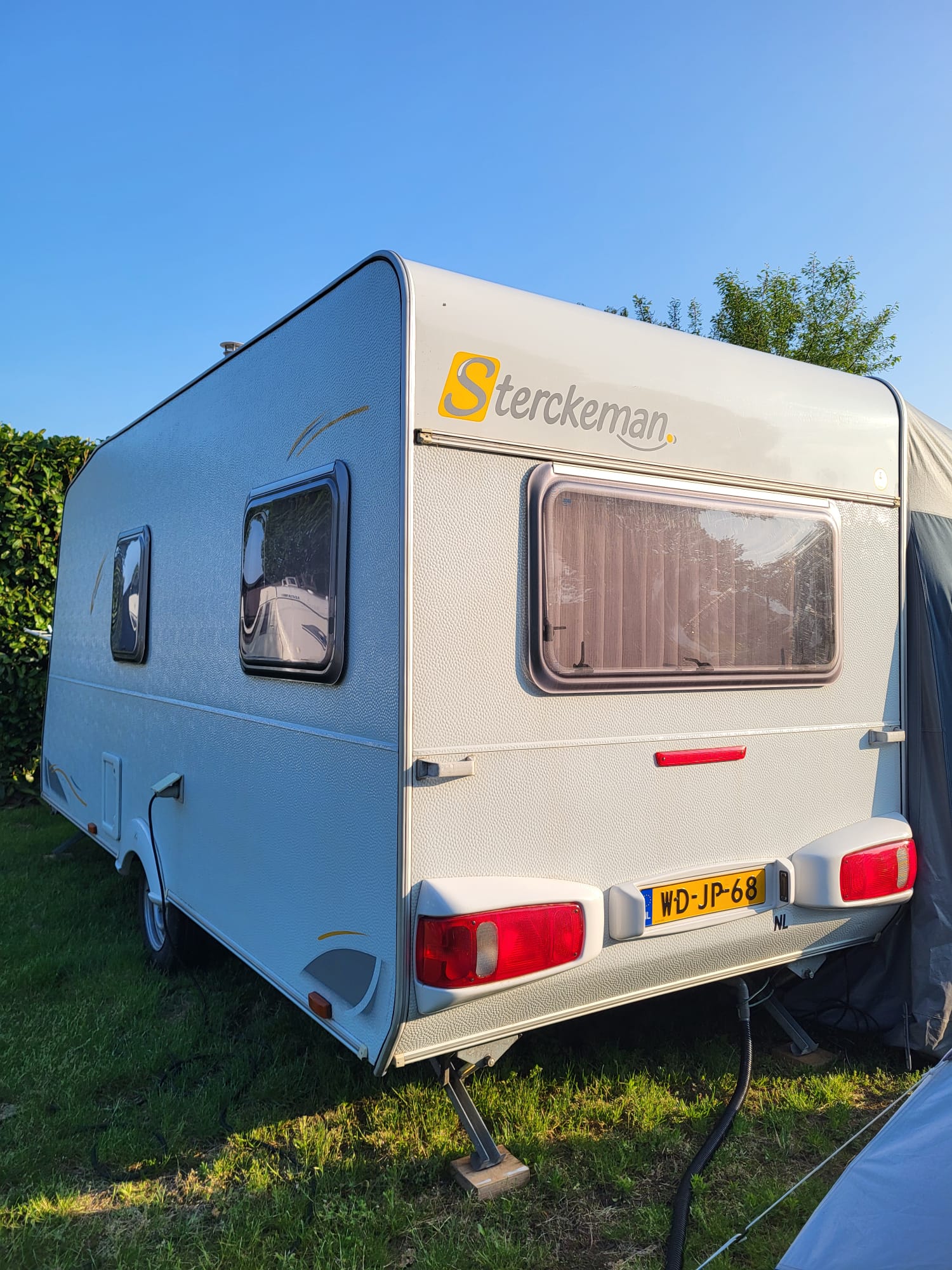
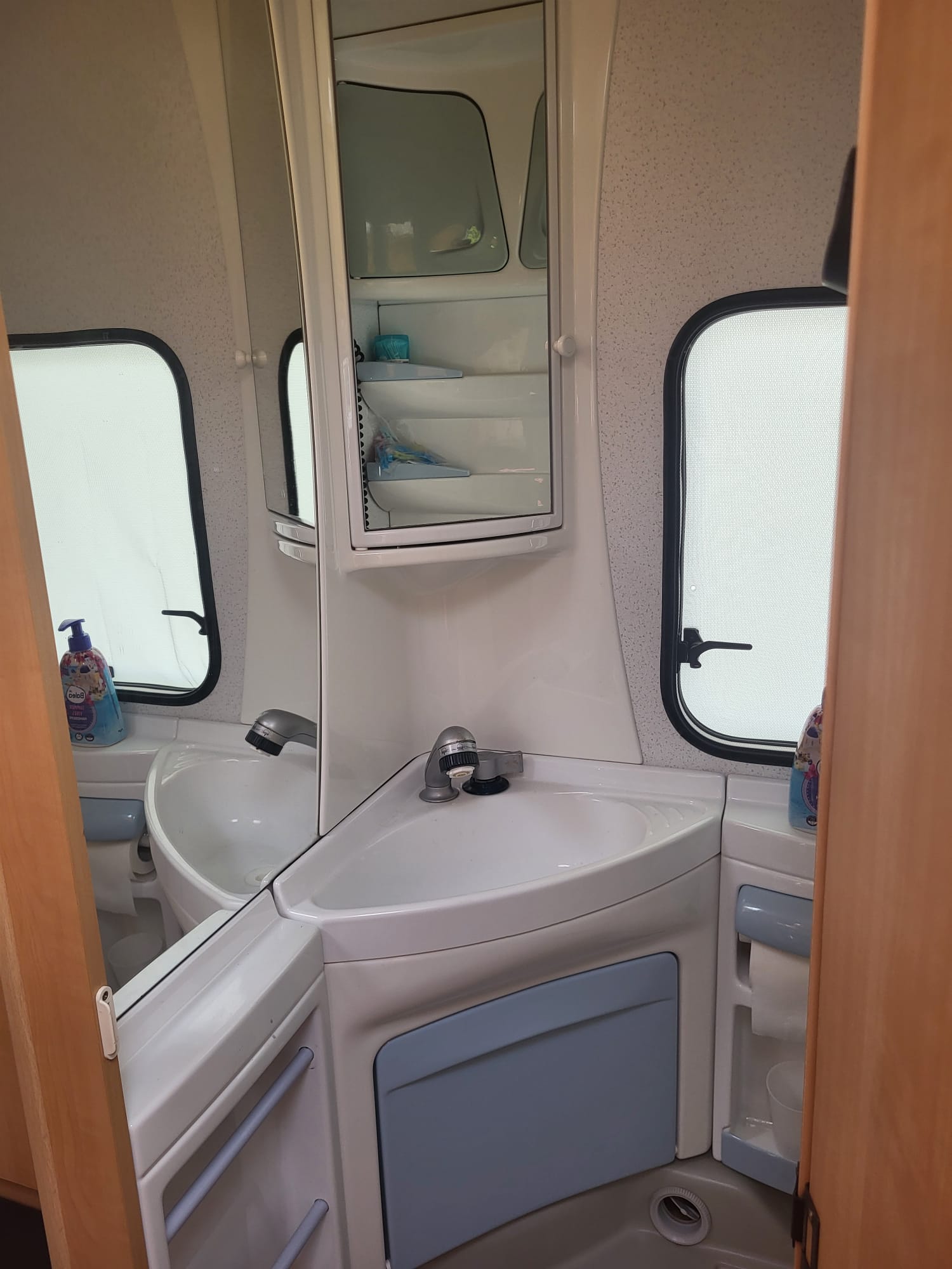
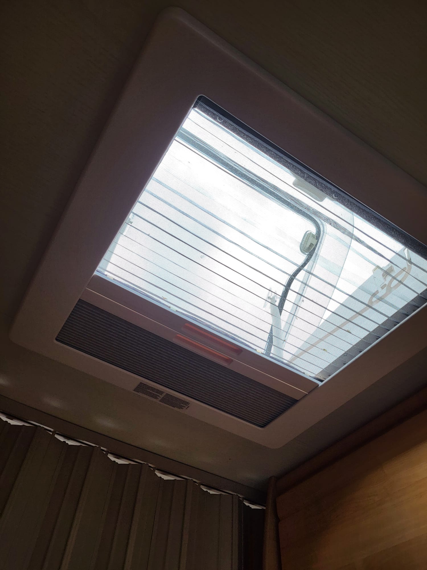
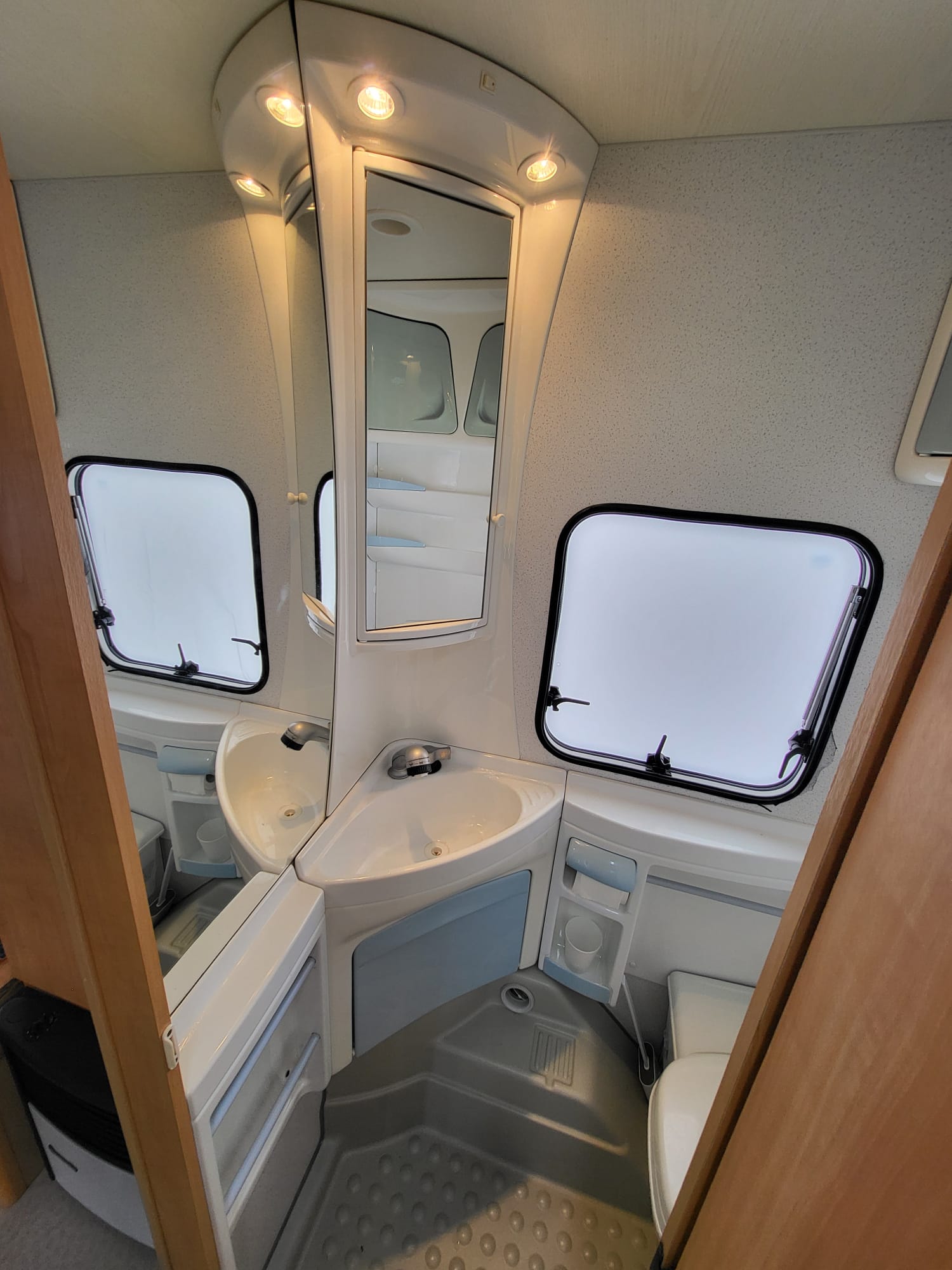
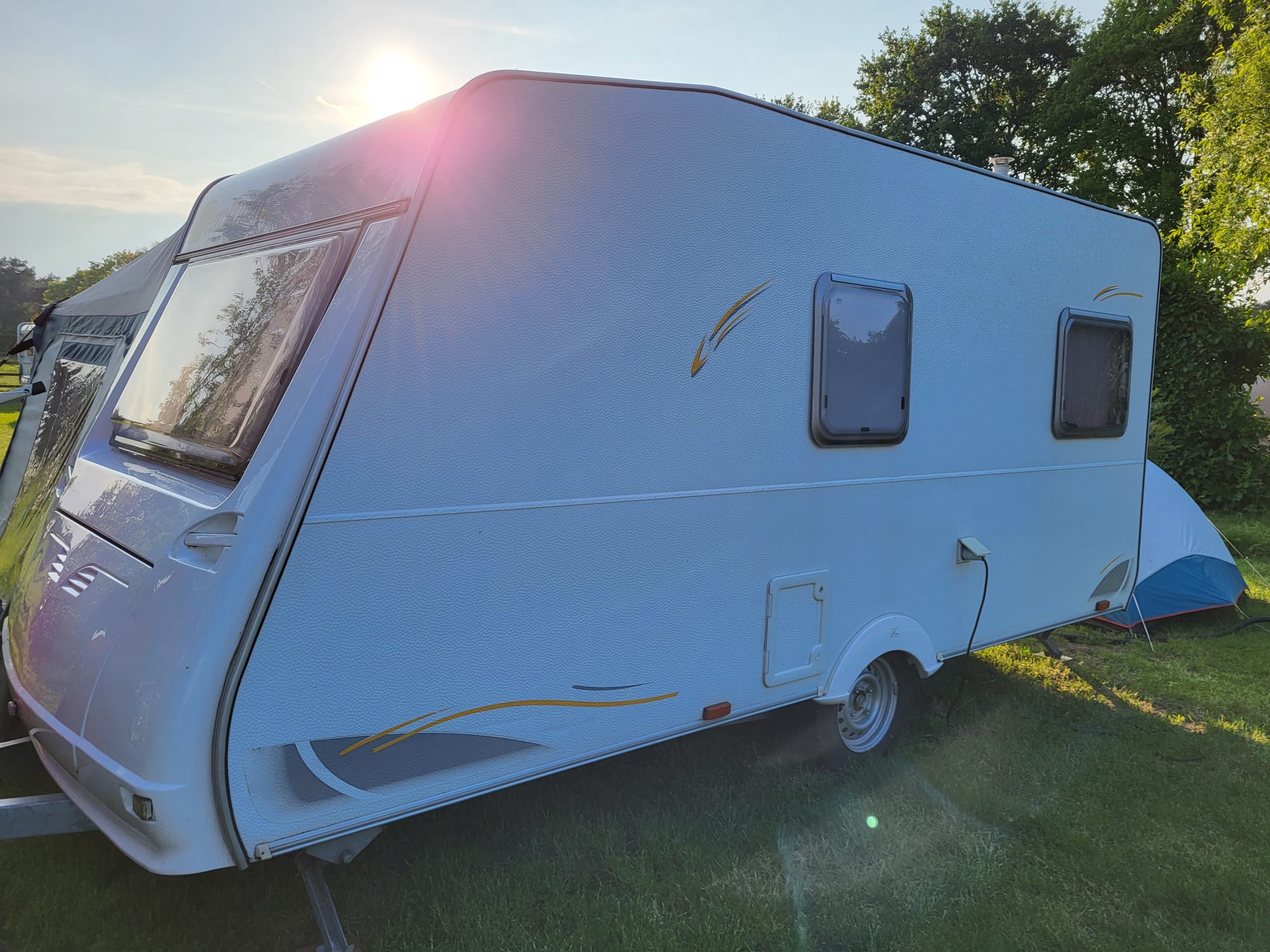
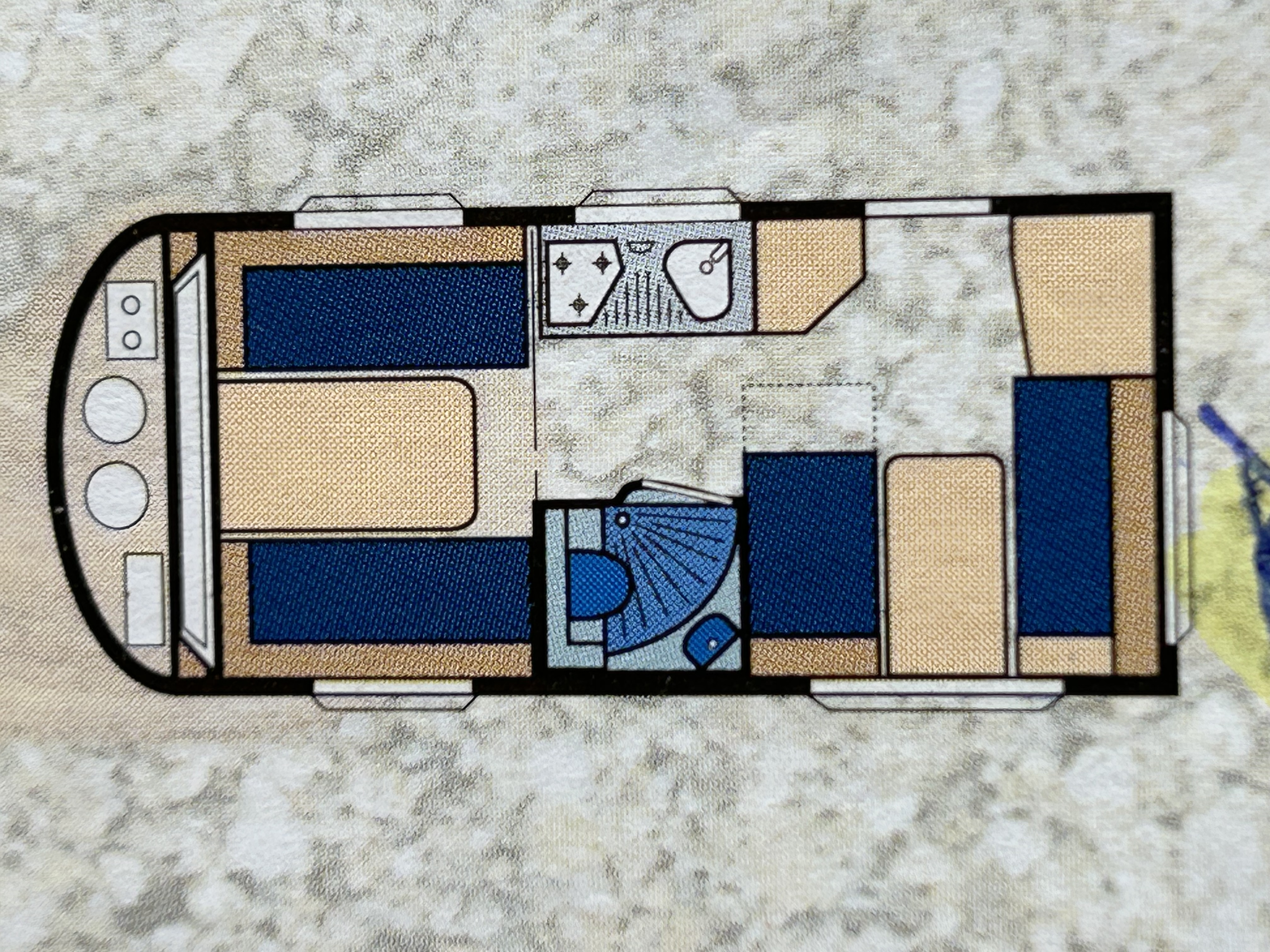
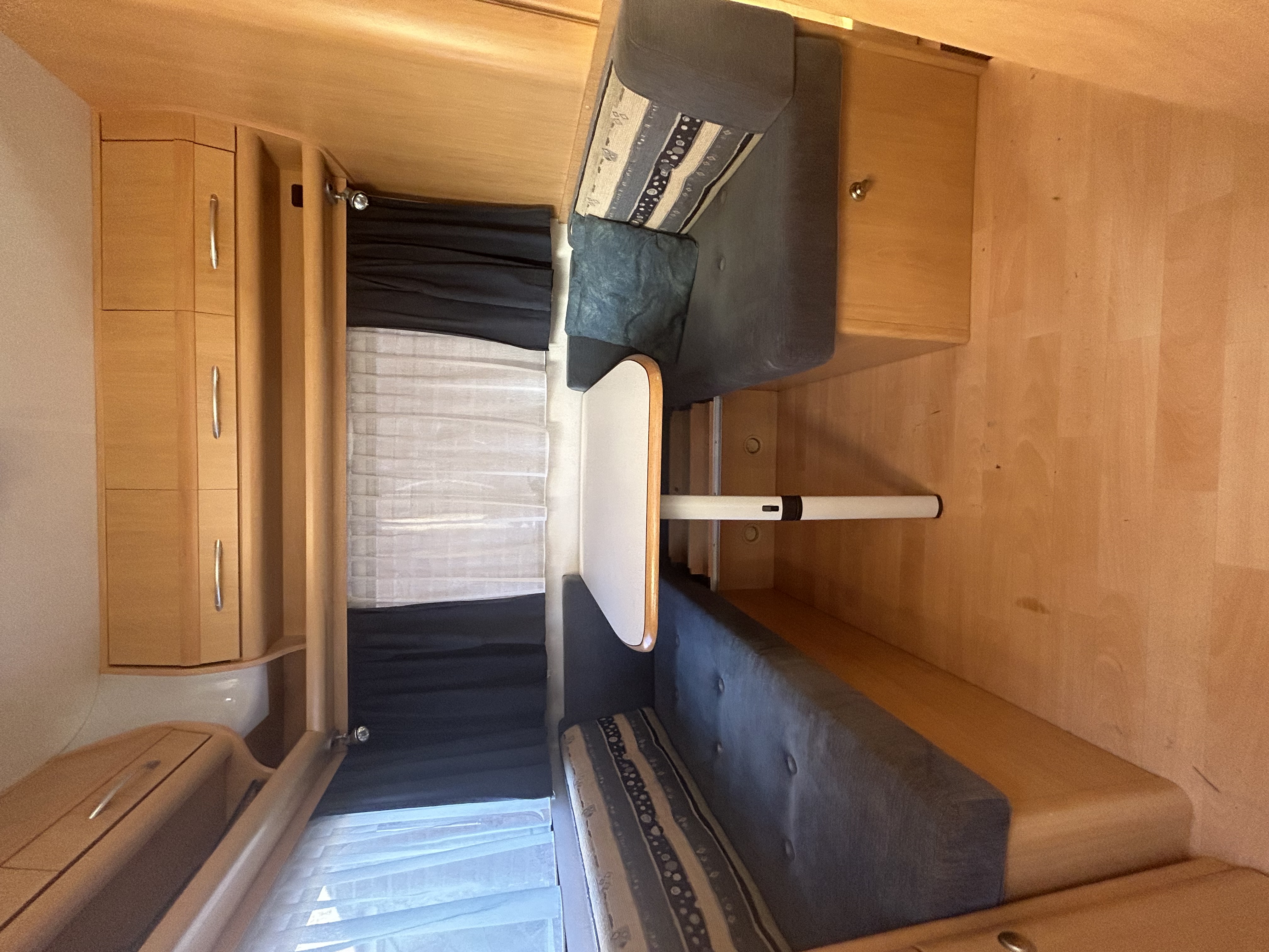
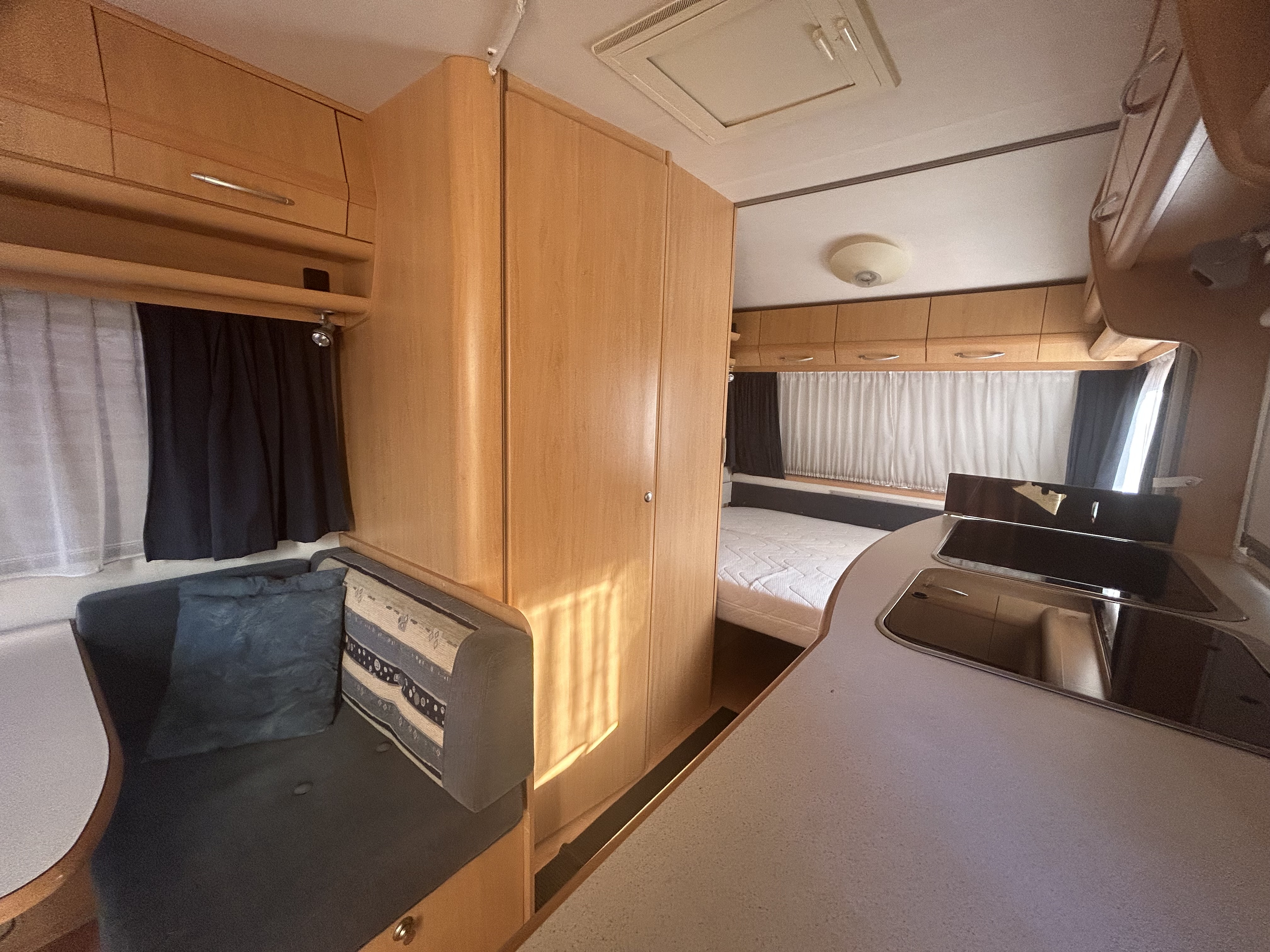
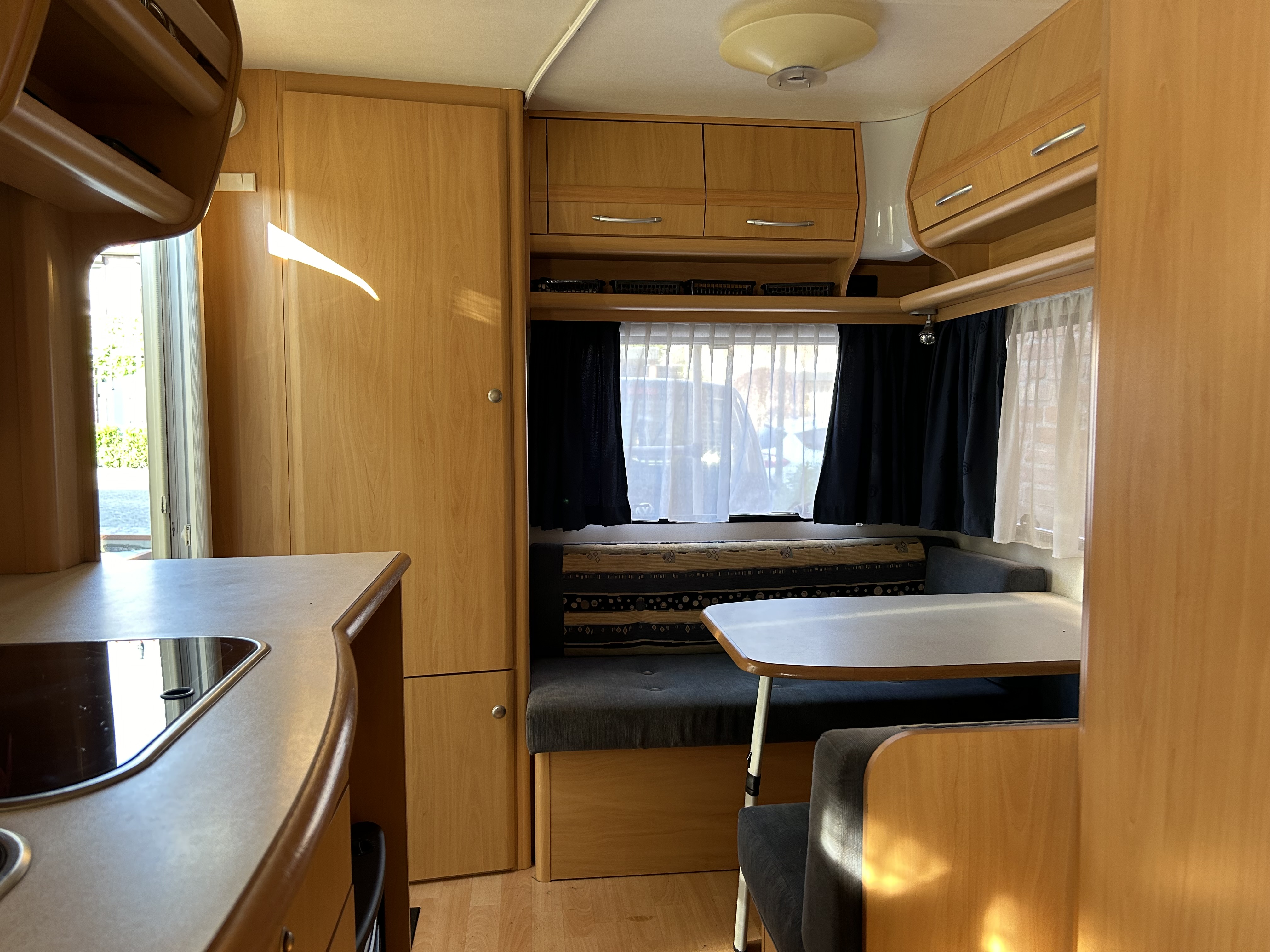
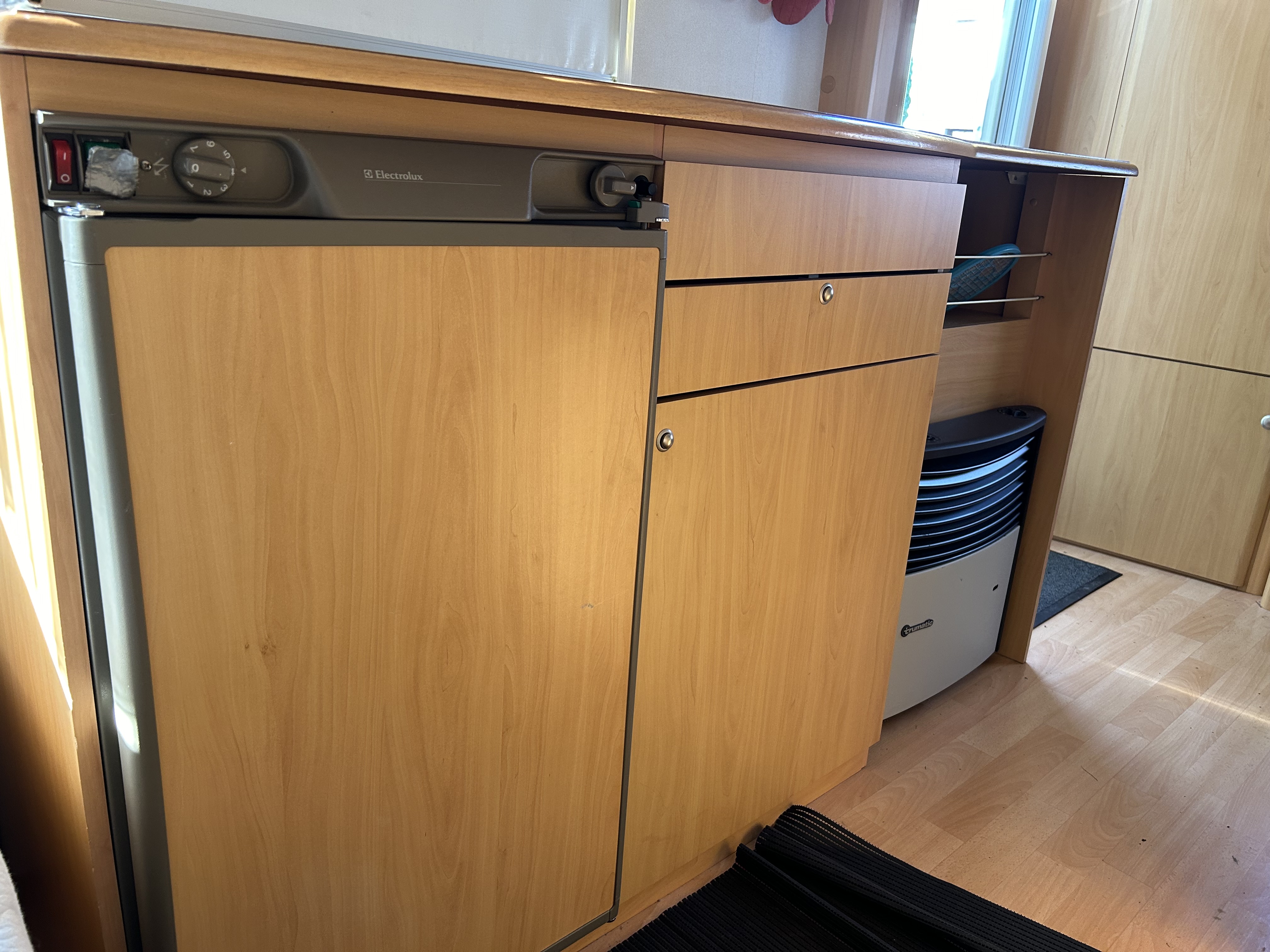
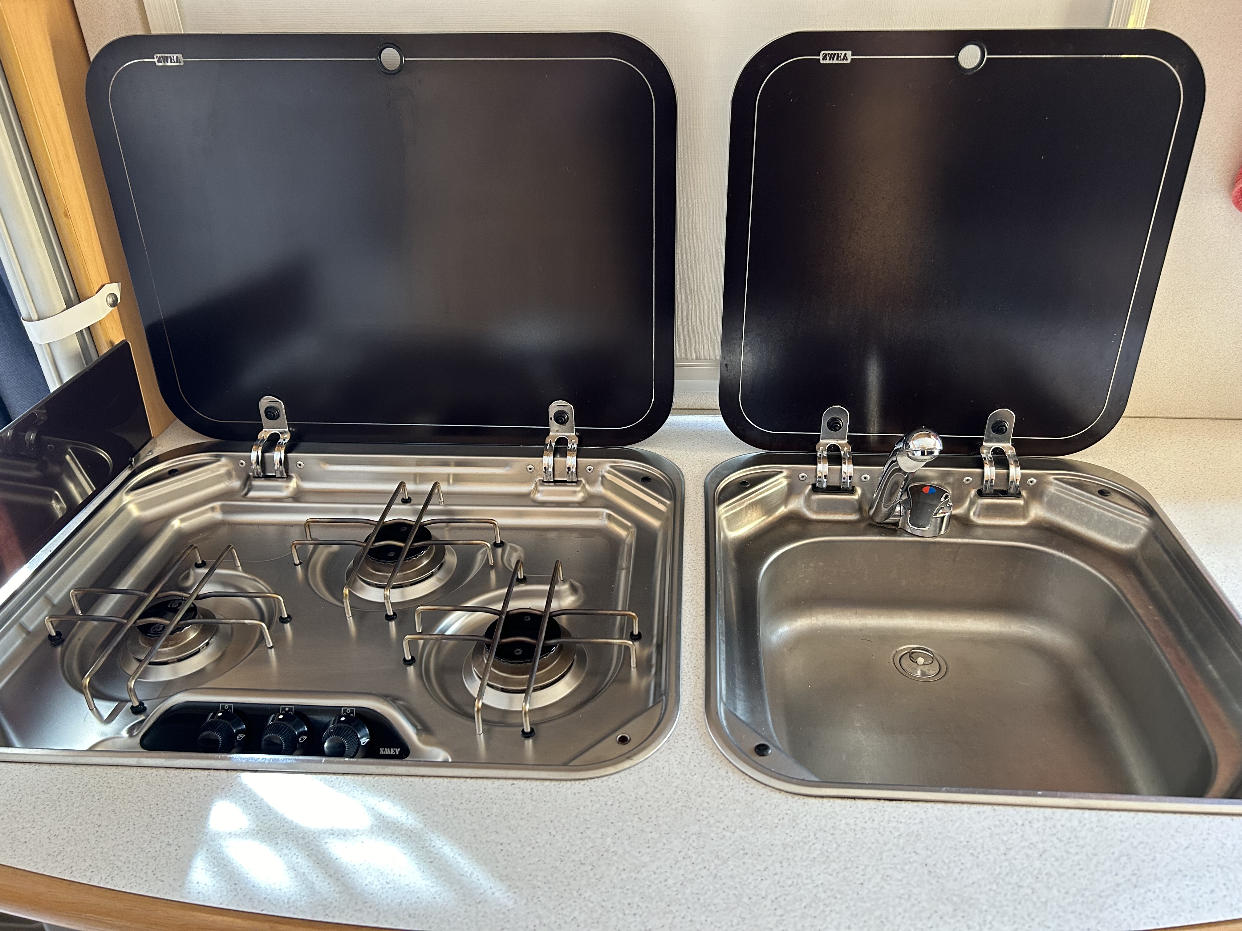
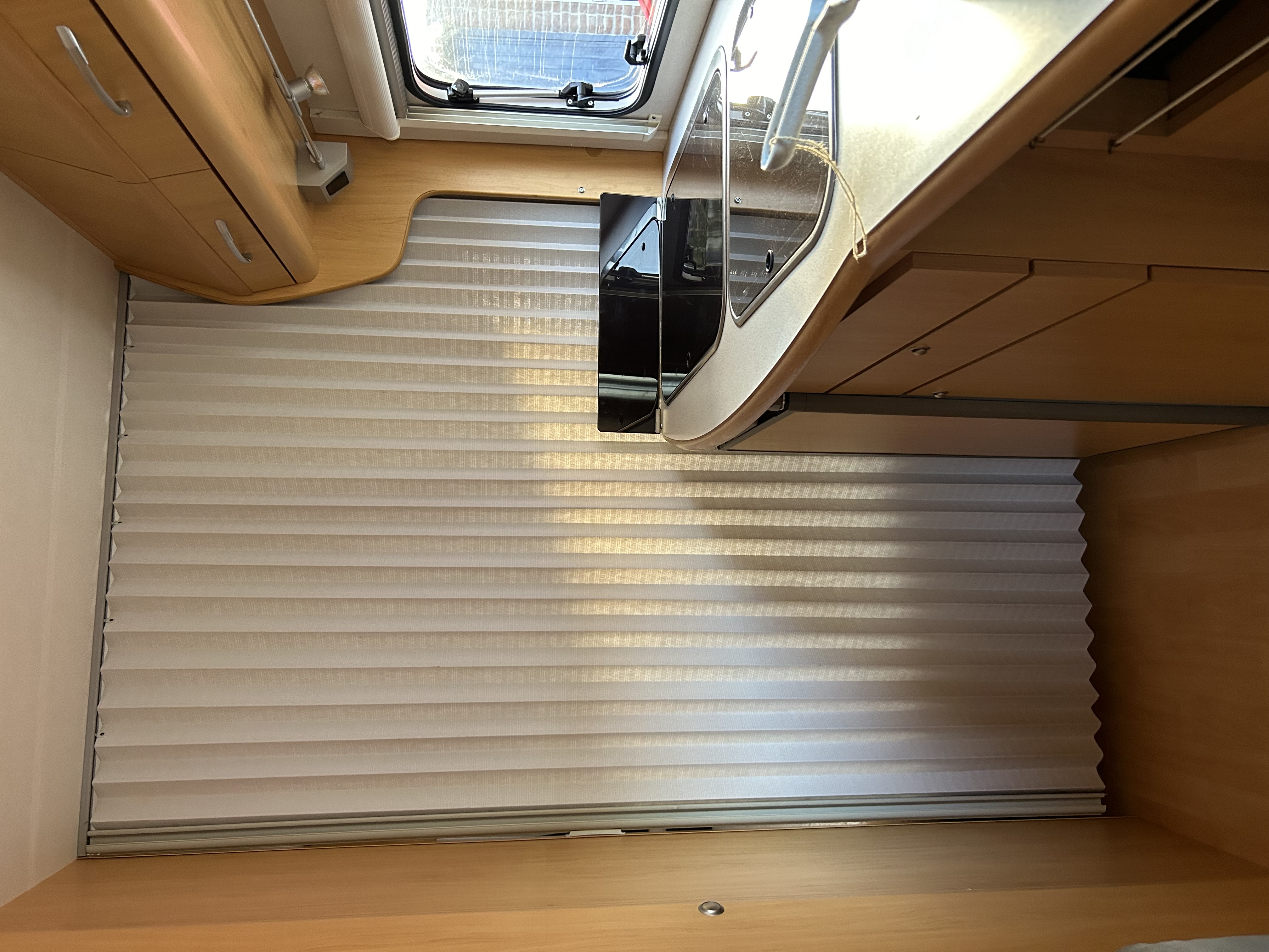
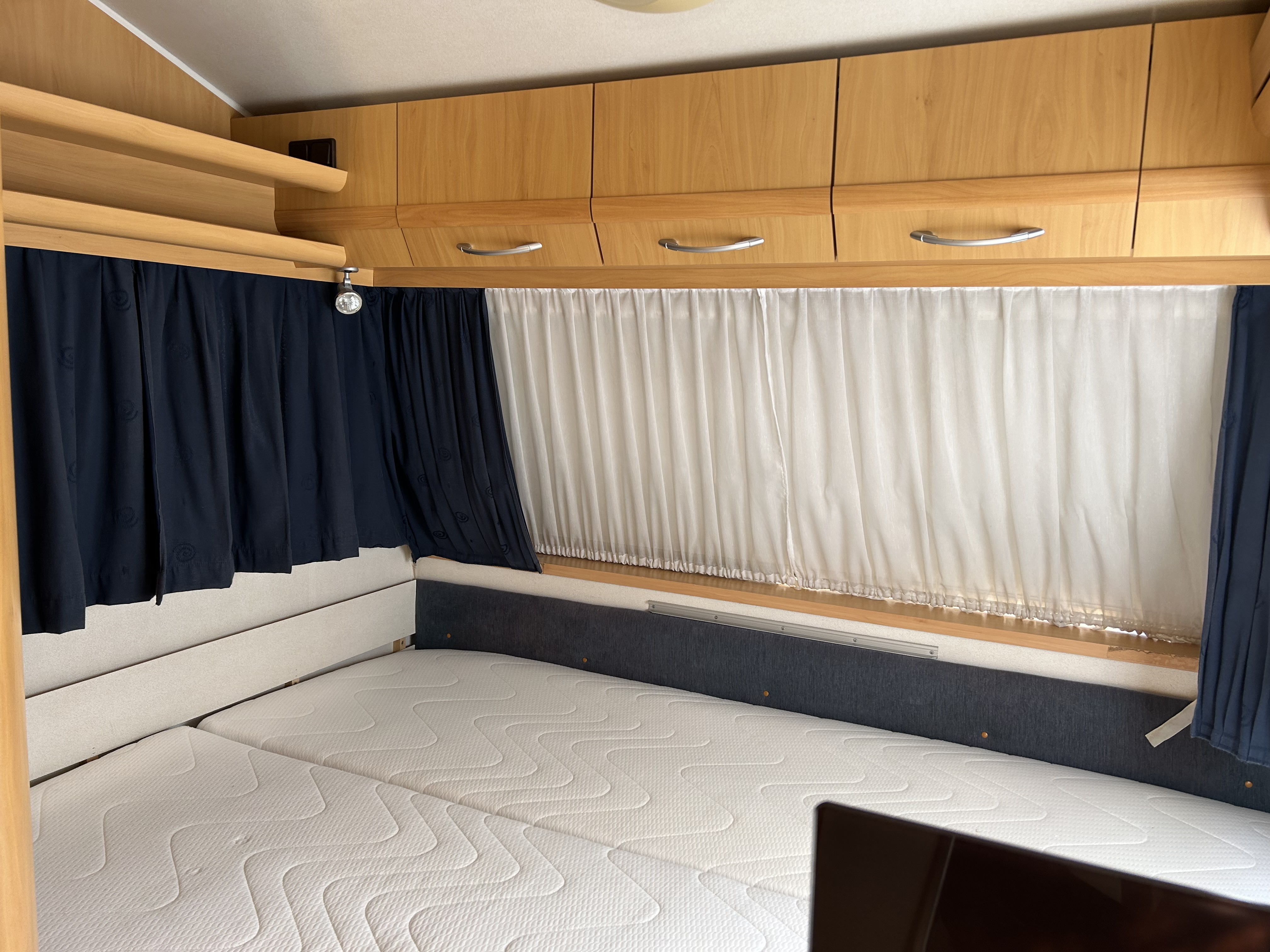
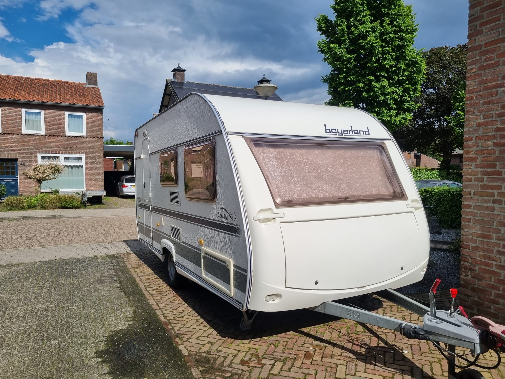
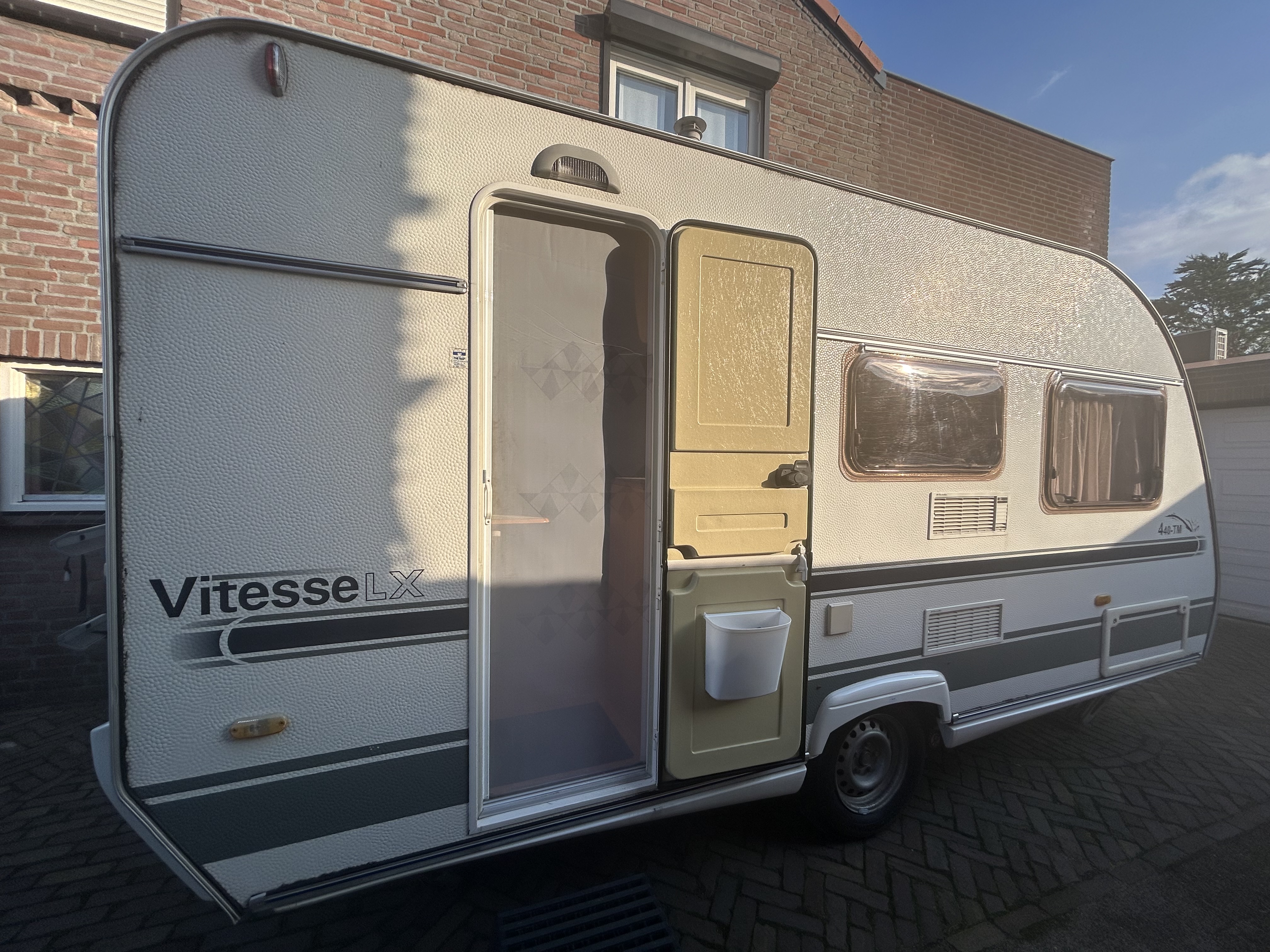
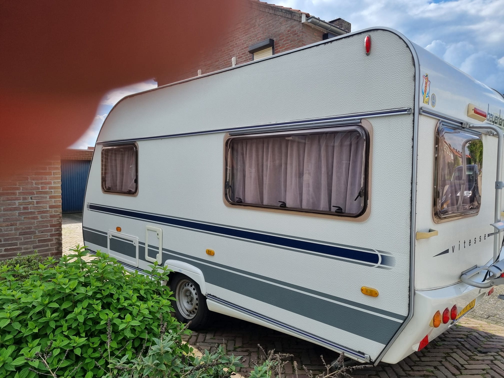
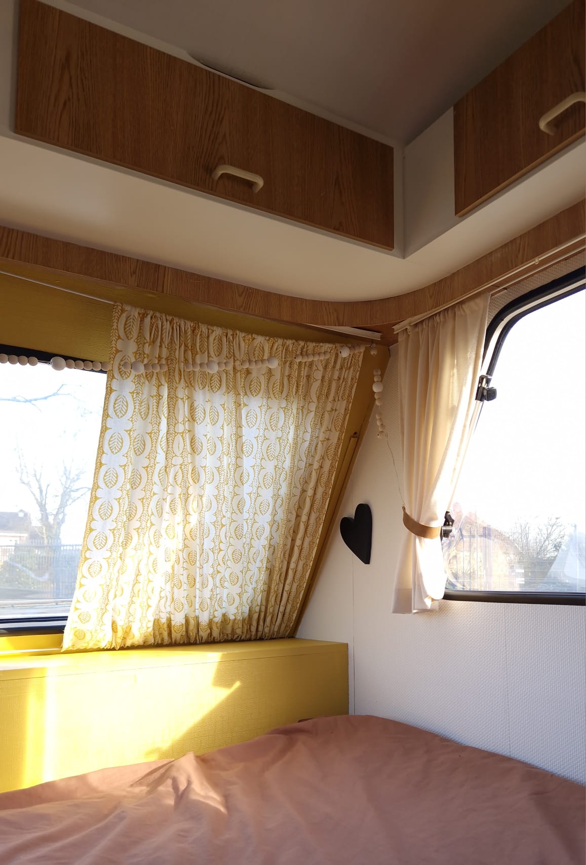
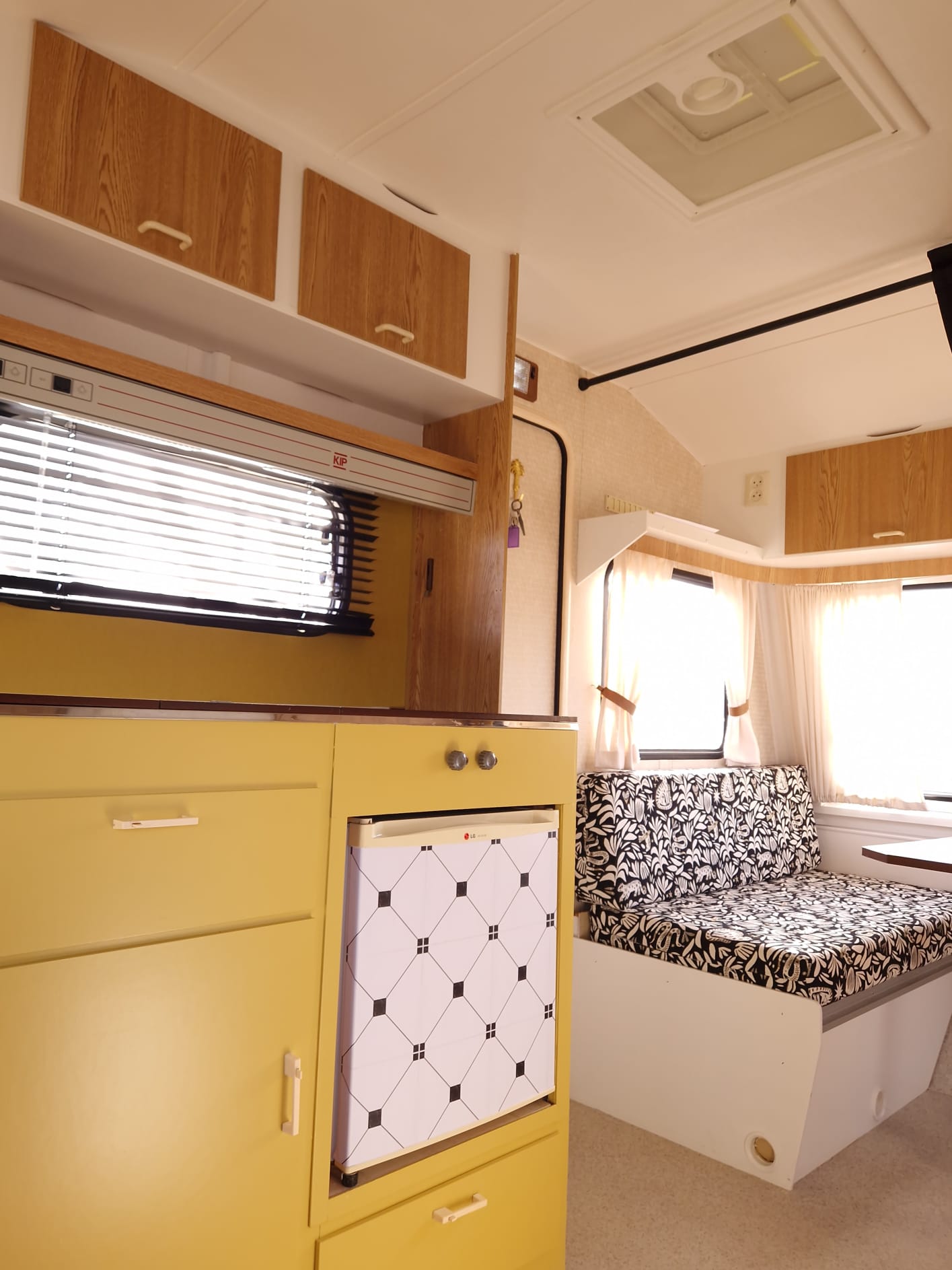
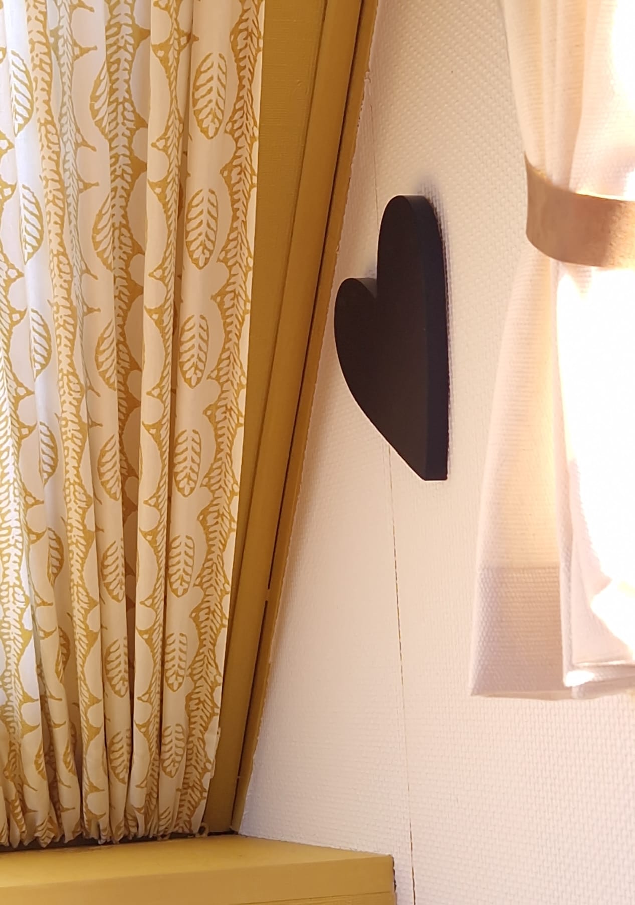
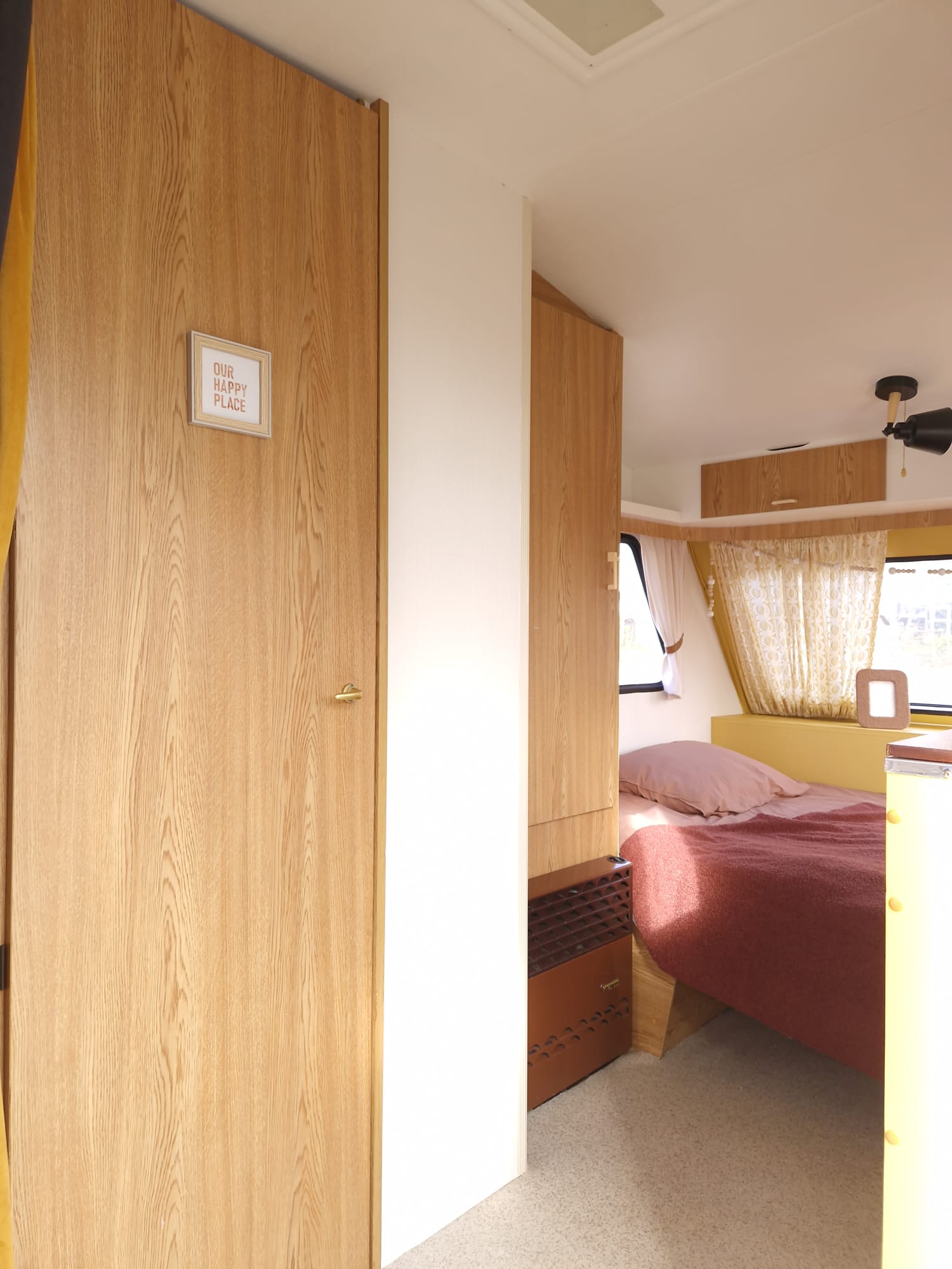
€ 31.95
Wandkaart Centraal Amerika, 73 x 55 cm | National Geographic

This Central America Wall Map by National Geographic contains extensive political information with political boundaries clearly presented with different color-bands for each country. Beautifully shaded to show physical terrain, this map is both a useful reference tool and a quality piece of art, perfect for any home, office or classroom.

Details featured on this wall map of Central America include:

• Political Boundaries
• Major Cities and Capitals
• Physical Terrain Shading
• Mountain Ranges, Highest Point
• Lakes, Seas, Rivers and Waterways
• Sand, Swamp, Salt Desert, Dry Salt Lake or Coral Reef
• Latitude and Longitude Lines
• Basic Bathymetry (Ocean Depths)
• Major Airports
• National Parks
• Major Roads and Highways
• Oil Fields, Railroads, and Ruins

€ 14.50
Wandelkaart 058 Sterzing und Umgebung - Vipiteno e dintorni | Kompass

Goede wandelkaart met vrijwel alle topografische details als hoogtelijnen, vegetatie, schaduwtekening maar ook de ingetekende wandelroutes en in veel gevallen ook fietsroutes (MTB). Gevaarlijke routes worden als zodanig weergegeven met een bepaalde markering. Berghutten en campings zijn goed terug te vinden op deze kaarten.


Daarnaast staan de toeristische bezienswaardigheden met symbolen vermeld. Kleurgebruik kan soms vrij fel overkomen, daardoor oogt deze detailkaart wellicht wat druk, maar het blijft een goed leesbare kaart. Sommige kaarten zijn geplastificeerd, maar helaas niet allemaal. De graden staan aan de zijkanten van de kaart, daardoor te gebruiken voor GPS.


Steden/dorpen/gebieden:

Brenner (Brennero), Pfitsch (Val di Vizze), Gossensaß (Colle Isarco), Ridnaun (Ridanna), Sterzing (Vipiteno), Ratschings (Racines), Freienfeld (Campo di Trens), Moos (Moso), Vals (Valles), St. Leonhard (San Leonardo)


Bergen/dalen:

Zuckerhütl, Jaufenpass (Passo Giovo), Penser Joch (Passo di Pennes)


Rivieren/meren:

Eisack (Isarco)


€ 13.50
Wandelkaart 068 Ritten - Renon | Kompass

Goede wandelkaart met vrijwel alle topografische details als hoogtelijnen, vegetatie, schaduwtekening maar ook de ingetekende wandelroutes en in veel gevallen ook fietsroutes (MTB). Gevaarlijke routes worden als zodanig weergegeven met een bepaalde markering. Berghutten en campings zijn goed terug te vinden op deze kaarten.


Daarnaast staan de toeristische bezienswaardigheden met symbolen vermeld. Kleurgebruik kan soms vrij fel overkomen, daardoor oogt deze detailkaart wellicht wat druk, maar het blijft een goed leesbare kaart. Sommige kaarten zijn geplastificeerd, maar helaas niet allemaal. De graden staan aan de zijkanten van de kaart, daardoor te gebruiken voor GPS.


Dorpen

Klausen / Chiusa, Villanders / Villandro, Sarnthein / Sarentino, Barbian / Barbiano, Klobenstein / Collalbo, Kastelruth / Castelrotto, Oberbozen / Soprabolzano, Völs am Schlern / Fie allo Sciliar, Bozen / Bolzano


Rivieren en meren

Eisack / F. Isarco


Bergen

Villandersberg / M. Villandro, Rittner Horn / Corno del Renon


Region: Italien, Trentino, Südtirol, Ritten / Renon, Sarntaler Alpen / Monti Sarentini


€ 13.50
Wandelkaart 066 Millstätter See | Kompass

Goede wandelkaart met vrijwel alle topografische details als hoogtelijnen, vegetatie, schaduwtekening maar ook de ingetekende wandelroutes en in veel gevallen ook fietsroutes (MTB). Gevaarlijke routes worden als zodanig weergegeven met een bepaalde markering. Berghutten en campings zijn goed terug te vinden op deze kaarten.


Daarnaast staan de toeristische bezienswaardigheden met symbolen vermeld. Kleurgebruik kan soms vrij fel overkomen, daardoor oogt deze detailkaart wellicht wat druk, maar het blijft een goed leesbare kaart. Sommige kaarten zijn geplastificeerd, maar helaas niet allemaal. De graden staan aan de zijkanten van de kaart, daardoor te gebruiken voor GPS.


Steden/dorpen/gebieden:

Treffling, St. Oswald, Seeboden, Bad Kleinkirchheim, Baldramsdorf, Millstatt, Radenthein, Spittal, Döbriach, Feld am See, Ferndorf, Stockenboi, Paternion, Gassen, Fresach


Bergen/dalen:

Tschiernock, Millstätter Alpe, Goldeck, Mirnock


Rivieren/meren:

Millstätter See, Afritzer See, Drau


€ 9.95
Wegenkaart - landkaart Map of Ireland Handy | Collins

Explore new places with this comprehensive map of Ireland from Collins. An easy-to-use route-planning map covering the whole of Ireland. It has the convenience of an atlas with all the benefits of a fold out map, and features clear, full-colour road maps at 10 miles to 1 inch, plus city centre plans of Belfast and Dublin.


The map is laminated on both sides making it durable and good value. Features of this map include: Clear detailed mapping with attractive layer colours showing heightPlaces of tourist interest and Tourist Information Centres shownDistance chart on the back of the map in both miles and kilometresDistances shown on the roads to aid journey planning

€ 14.95
Wegenkaart - landkaart 08 Italien, Umbrien, Marken | Marco Polo

Immer einen Schritt voraus, immer im Trend. Es ist gut zu wissen, wo sich im Urlaubsgebiet die bedeutenden kulturellen und landschaftlichen Sehenswürdigkeiten befinden. Das präzise und klar lesbare Kartenbild der MARCO POLO Karte führt Sie nicht nur zu diesen wirklich interessanten Stellen, sondern zeigt Ihnen außerdem noch viele andere wissenswerte Details. Dank des großen Maßstabs 1:200 000 können Sie sich gut in der fremden Landschaft orientieren und finden auch auf interessanten, abgelegenen Straßen sicher zum Ziel.


Sprachen: Deutsch, Italienisch, Englisch, Französisch


Hauptkarte im Maßstab 1:200 000/ Übersichtskarte zum Ausklappen/ Entfernungstabelle/ Index: mehrsprachige Legende (I, D, GB, F, SLO, E, CZ, PL)/ Marco Polo Highlights/ 14 Citypläne: - Ancona - Arezzo - Ascoli Piceno - Assisi - Foligno - Gubbio - Macerata - Orvieto - Perugia - Pescara - Spoleto - Terni - Todi - Urbino Verkehrsinformationen/ Reiseinformationen/ Ortsregister mit Provinz, Postleitzahl und Suchfeldangabe, ausgewählten Sehenswürdigkeiten, Landschafts- und Gewässernamen.

€ 9.95
Wegenkaart - landkaart Explore Kyrgyzstan - Kirgizië | Ountravela

Wel heel klein kaartje van Kirgizië - Kyrgyzstan. Geeft een klein overzicht en mogelijkheden om waar te kunnen hiken.

Foldable A2 format tourist map of Kyrgyzstan to help you prepare and organise your trip to Kyrgyzstan.

- Main and secondary roads and mountain passes

- The 24 off-road routes from the book EXPLORE KYRGYZSTAN

- More than 50 must-see highlights

- Restricted areas (compulsory border permit) and military checkpoints

- A complete Kyrgyz-French phrase book to help you start a discussion inside a yurt.

Scale : 1 / 2 000 000

Language : English

€ 14.95
Fietskaart 10 Cycling guides North York Moors | Goldeneye

Scheur- en watervast foetskaart van de North York Moors  met ingetekende fietsroutes.


Our maps are double-sided, printed on an A2 sheet with a concertina fold. This allows for easy folding and folding, and an ease of access to the mapping. The material is rain and tear-resistant. Our early maps were designed at the scale of 2 miles to 1 inch/1:126,720. The later designs along with digitalisation are 1: 100,000. We were encouraged by the Cycle Touring Club to convert our cartography toward the cycle market (to replace the out-of-print Bartholomew series). As time and the series progressed we have added more data: The National Cycle Network routes, Regional Routes, and Traffic-Free Family Routes, as and when they are developed. These routes are in addition to the Circular Routes Goldeneye Commissioned at the outset of our publishing schedule. We are also adding to new editions; bike shops, cycle hire, and tea rooms, along with the tourist attractions already featured. Our plan is to make available digital versions for cell phones and tablets and to update, on an annual basis.


The North York Moors National Park occupies a region of elevated rolling moorland, forming a steep escarpment on the north and west, and a rugged indented coastline to the east. To the south, the ground slopes more gently towards the Vales of Mowbray and Pickering. The Moors are cut up by a series of small streams, deeply incised to create a landscape of real charm. These flow down to the Vale of Pickering. Each Dale having its own characteristic: Scenic Ryedale, lonely Bransdale, the daffodils of Farndale, the industrial echoes of now quiet, Rosedale. 


To the north, the River Esk cuts a swathe eastwards on its way to Whitby. To the south, the Howardian Hills, and The Wolds, make for fine cycling: rolling hills with lanes connecting picturesque villages. For the less strenuous, the Vale of Pickering makes for an easy-going ride: quiet, flat lanes through a pastoral landscape.


To be confronted with the variety and complexity of the cycling routes, trails and paths in the North York Moors can be a bewildering experience.  For it appears that the National Park, Forestry Commission and, the local District Councils, are all trying hard to promote cycling (bike) routes. This is indeed encouraging for the growth of cycling, but it can be confusing.  Our purpose is to provide clear, easy to use and easy to follow, cycling maps, and to illustrate these in a comprehensive form. 


Recommended Routes/Trails


National Cycle Network (NCN) & Regional Routes


1. NCN 1.  This forms part of the North Sea Cycle Route and runs from the Humber Bridge to Whitby via Scarborough and includes the traffic-free Scarborough to Whitby railway path – see details below.


2. Moor To Sea Cycle Route: This 133km/80 mile route links Pickering with Scarborough and Whitby, and features forest tracks, lanes and the former coastal railway.  The northern route, RR 52, runs through Great Ayton along the Esk Valley to Whitby.


3. The White Rose Route, NCN 65, goes from Hull to Middlesborough via York (205km/123 miles) and takes in much of Yorkshire’s fine market towns and heritage sites.  There are off-shoots, NCN 656 & 657.


4. Yorkshire Wolds Circular Route, 240km/146 miles.  NCN1, NCN 164, 166 & 167 in a clockwise direction.  Al Churcher’s Route 1 is a fine introduction. 


Traffic-Free Family Routes/Trails


1. Boltby Forest. Start from Sneck Yate car park (beside Hesketh Dike).  Ten miles, and more, of byways and bridleways suitable for mountain bikers and fit teenagers with connections to the Cleveland Way – see below. (B5) 


2. Cleveland Way. This is a rough, broad track suitable for a mountain bike. And, thus you need to be fit and adventurous, for the views are splendid with some hill climbs. Best after dry weather. Not for young children.  Park at Sutton Bank. (B6)


3. Dalby Forest.  There are a number of waymarked trails for all levels, starting with the Ellerburn Cycle Trail, to the severe Black Route, and the mad-cap Dixon’s Hollow Bike Park. The trails are graded and some are suitably family-friendly for young families. Bike hire. Café at Low Dalby.   (G6)


4. Rudland Rigg.  Park about 7-miles north, of Kirkbymoorside. This is an adventurous, rough moorland track suited for mountain bikers.  You may well believe you have reached the Top of the World. To avoid a 900 ft descent, turn around when you reach the top of Greenhow Moor just after crossing the old Rosedale Mineral Railway line.  10 miles up, and 10 miles back. (D4)


5. Scarborough – Whitby Railway Path along NCN 1. 38km/23 miles. One of Britain’s great cycling trails (on a level with the Camel Trail), encompassing superb coastal views, woodland, heather-coated moorland, a thrilling viaduct, great pubs and tearooms, and a wonderful fishing village in Robin Hoods Bay.  For children, it is recommended that the Scarborough to Whitby direction is best, and young families may take about 5 hours. Refreshment stops at Cloughton, Ravenscar, RHB and Whitby.  Suggest you organize a chauffeur to drop you off, or collect, at each end. (K5)


6. York to Overton.  Start from Marygate close to the River Ouse. This is a 4-mile riverside path that runs parallel with the River Ouse, crossing Rawcliffe Meadows, home to wild flowers and birdlife. (C10)


€ 11.95
Wandelkaart 34-555 Eifelwandern 18 Manderscheid, Wittlicher Land | NaturNavi

Uitstekende geplastificeerde wandelkaart van de Eifel


• Sehr genaue und aktuelle topografische Kartographie im Ideal-Maßstab 1 : 25 000

• Detaillierte Wander- und Radwege inkl. Rund- und Fernwege

• 3D-Darstellung der Landschaft und Höhenlinien im 10 m Abstand inkl. Höhenlinienzahlen

• Die Verkehrsstruktur von Bahn, S-Bahn, Straßenbahn sowie Bushaltestellen sind übersichtlich enthalten

• Viele Einkehrmöglichkeiten (Restaurants) sind dargestellt und namentlich bezeichnet

• Darstellung der Wanderwege mit den Symbolen der Ausschilderung

• Parkplätze, Parkflächen und Parkhäuser sind blau gekennzeichnet

• Die farbliche Abstimmung ist lebhaft, an der Realität orientiert und angenehm für das Auge

• Gedruckt auf wasserfestem, strapazierfähigem und umweltfreundlichem Papier

• UTM-Koordinatennetz für GPS-Nutzer mit feinem 1000 m Abstand

• Schnellsuch-Register für Städte, Gemeinden und Ortsteile

• Inklusive Übersichtskarte


Plaatsen op de kaart

 Manderscheid, Wittlicher Land, Bettenfeld, Gillenfeld, Großlittgen, Üdersdorf, Wittlich, Eisenschmitt, Oberkail, Spangdahlem, Hupperath, Bombogen, Lüxem, Flußbach, Strotzbüsch, Mehren, Niederstadtfeld, Oberstadtfeld, Meisburg

Abonneer op