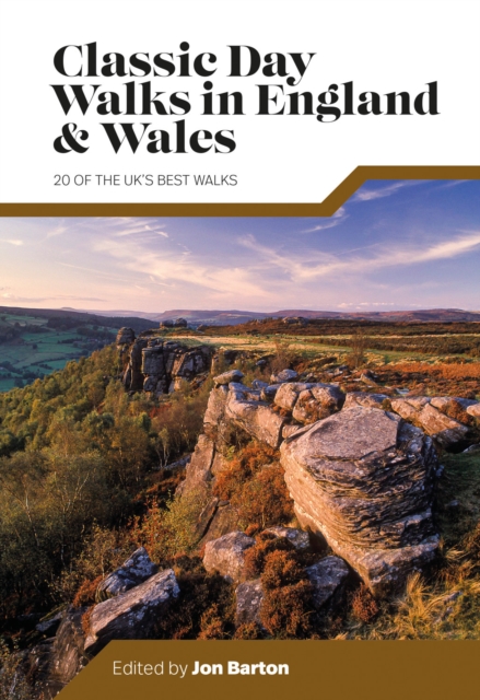
Classic Day Walks in England & Wales features a selection of 20 of the best day-length hillwalking routes from Vertebrate Publishing's popular series of walking guidebooks. Edited by Jon Barton, this guidebook takes you to the best hiking country in England and Wales: take in Lake District fells, traverse Hadrian's Wall, ramble in the South Downs, enjoy the coastline in Pembrokeshire, or explore Lizard Point in Cornwall. Together with stunning photography, each route features Ordnance Survey 1:25,000 maps, easy-to-follow directions, details of distance and navigation information, and refreshment stops and local information.
€ 20.95
€ 14.95
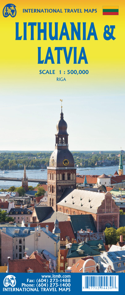
ITMB is very pleased to release its first-ever map of the Baltic country of Lithuania, which occupies Side 1 of this double-sided map. It is bordered by Latvia on its north, the Russian enclave of Kalingrad on its southeast, and Poland and Belarus on its south and east. It is now on the front lines of tension between Russia and its neighbours, as are all the Baltic states. It is also a valued member of both NATO and the EU, and as such is easy to access from either Poland or Latvia. Lithuania fronts on to the Baltic Sea with a major port at Klaipeda (formerly Memel), with its capital being Vilnius. Historically, the country has suffered German and Russian invasions during the 20th century, the last of which resulted in the country losing its independence completely by being absorbed into the Russian Empire in the latter stages of WW2. It regained its independence in 1991, with the collapse of the USSR and shortly thereafter applied to join both the European Union and NATO. Touristically, the main attractions are shown in our Top Attractions listing. Culturally, it is closely associated with Scandinavia, especially Finland, and maintains cordial relations with Latvia and Poland. The current war in Ukraine has created difficulties entering either Russia or Belarus. Side 2 of the map is an updated map of Latvia, with a detailed inset of its capital Riga. This Baltic country is bounded by Lithuania to the south, Estonia to the north, and Russia to the east. As all the Baltic states are members of the EU, access by air, ferry, and land are easy. Historic Riga is the main attraction of Latvia, but the region around Cesis has several significant sites of touristic interest, and the cathedral at Rezekne, in the east, is well-worth a visit.
€ 11.95
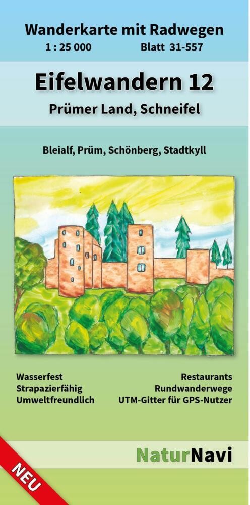
Uitstekende geplastificeerde wandelkaart van de Eifel
• Sehr genaue und aktuelle topografische Kartographie im Ideal-Maßstab 1 : 25 000
• Detaillierte Wander- und Radwege inkl. Rund- und Fernwege
• 3D-Darstellung der Landschaft und Höhenlinien im 10 m Abstand inkl. Höhenlinienzahlen
• Die Verkehrsstruktur von Bahn, S-Bahn, Straßenbahn sowie Bushaltestellen sind übersichtlich enthalten
• Viele Einkehrmöglichkeiten (Restaurants) sind dargestellt und namentlich bezeichnet
• Darstellung der Wanderwege mit den Symbolen der Ausschilderung
• Parkplätze, Parkflächen und Parkhäuser sind blau gekennzeichnet
• Die farbliche Abstimmung ist lebhaft, an der Realität orientiert und angenehm für das Auge
• Gedruckt auf wasserfestem, strapazierfähigem und umweltfreundlichem Papier
• UTM-Koordinatennetz für GPS-Nutzer mit feinem 1000 m Abstand
• Schnellsuch-Register für Städte, Gemeinden und Ortsteile
• Inklusive Übersichtskarte
Plaatsen op de kaart
Manderfeld, Herresbach, Schönberg, Bleialf, Brandscheid, Habscheid, Pittenbach, Pronsfeld, Watzerath, Oberlauch, Niederprüm, Prüm, Wascheid, Auw, Roth, Krewinkel, Ormont, Reuth, Olzheim
€ 10.95
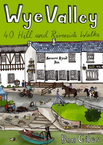
This guide contains forty circular routes, covering an area somewhat broader than the AONB but within similar north-south boundaries. This collection of walks is split into five areas: Hereford Lowlands and the Woolhope Dome; Archenfield and the Monnow and Trothy Valleys; The Wye Gorge; The Forest of Dean; The Trellech to Chepstow Plateau. In part, the areas reflect the diverse geology and ecology of the landscape, but they are in no way essentially distinct or separate. Each has its own particular attractions and character, but there is much that is shared between all five areas.
Most of the routes are intended as comfortable walks or strolls, manageable by all willing to put one foot in front of another, at most requiring half a day to complete. Occasionally, the cumulative ascent may leave unseasoned legs a little stiffer, but in general the walking is on well-worn paths, lanes and tracks, which should require minimal time and effort for route-finding. However, the sketch maps serve an illustrative purpose and it is recommended that the relevant OS 1:25,000 map is carried – just two are needed to cover all areas (OS Explorers OL14 and 189), both of which are readily available in local shops. For those who enjoy full day walks, some routes can readily be lengthened, while others can be combined for a longer excursion. The recommended time given for each walk is an estimate based on average walking speed, with an allowance added in for ascent and the type of ground. This will vary significantly, with individual ability and preference as well as the seasonal effects on conditions underfoot – especially across fields. It is hoped that there is plenty of interest along the routes themselves and it would be very possible to spread a short walk over a half day; conversely, most routes are short enough to attempt two in a day.
€ 26.95
Die Via Alpina verbindet Montreux mit Vaduz, und das auf den schönsten Wegen.Sie können mit diesem Buch diese wunderbaren symbolträchtigen Landschaften wiederentdecken. Wir zeigen Ihnen verschneite Bergkämme und Gipfel, spektakuläre Gletscher und Schlunde, Chalets und Wäldchen, Alpkuhe und Bergkäse. Ob Sie eine versierte Wanderin sind oder ein uberzeugter Genussmensch, unter diesen Wanderungen gibt es was fur jeden Geschmack!Dieses Buch bietet eine majestätische Sicht auf die Alpen, aufgeteilt in 20 Etappen und uber 390 Kilometer verteilt. Es liefert alle fur die Planung Ihrer Wanderung nötigen Auskunfte: Höhenunterschied, Wanderzeit, Kilometeranzahl und Schwierigkeitsgrad, aber auch Unterkunfte und Gasthäuser auf der Route. Sie können die ganze Via Alpina beschreiten, aber auch nur ein paar der Etappen.
Situées dans le canton de Vaud: les randonnées 01 Montreux-Rochers-de-Naye; 02 Rochers-de-Naye-Rossinière; 03 Rossinière - L'Etivaz; 04 L'Etivaz - Gstaad.
€ 19.50
Uitstekende wandelgids met een groot aantal dagtochten in een mooi wandelgebied, vlak, in een dal of hooggebergte. Met praktische informatie en beperkt kaartmateriaal! Wandelingen in verschillende zwaarte weergegeven in rood/blauw/zwart.
alle Touren mit öffentlichen Verkehrsmitteln machbar
detaillierte Wanderkarten
GPS-Tracks zum Download
Raus aus der Stadt! Im Großraum Hannover findet sich eine erstaunliche Breite unterschiedlicher Landschaften: von den Ausläufern der Lüneburger Heide im Norden bis zum Leinebergland im Süden, vom Braunschweiger Land im Osten bis zur Weser im Westen. In 66 Wanderungen offenbart der Rother Wanderführer »Rund um Hannover« diese Vielfalt rund um die niedersächsische Landeshauptstadt – und das auch ganz ohne Auto.
Vorgestellt werden Wanderungen in der sandigen Geest mit der waldreichen Südheide, in Moorgebieten und in der landwirtschaftlich genutzten Börde. Herrlich sind auch die Ausflüge ins Bergland, wo einen eine malerische Mischung aus bewaldeten Höhenzügen und weit geschwungener Feldflur erwartet. Zahlreiche Seen laden zum Verweilen oder gar Baden ein: das riesige Steinhuder Meer, bezaubernde Seen, naturnahe Flussauen und verwunschene Moortümpel. Alle Wanderungen werden zuverlässig beschrieben; sie verfügen jeweils über ein Wanderkärtchen und ein Streckenprofil. GPS-Tracks stehen zum Download bereit. Zudem sind diese Touren nicht nur abwechslungsreich und schön – sie alle sind ab Hannover auch einfach mit öffentlichen Verkehrsmitteln zu erreichen. Nebenbei erfährt man viel Hintergründiges und Interessantes – Autor Mark Zahel kommt aus der Region und gibt viele Insider-Infos in diesem Wanderführer weiter.
Wer die Gegend rund um Hannover mit Entdeckerlust erkunden möchte, kommt um diesen Wanderführer nicht herum!
€ 19.99
Op pelgrimstocht gaan betekent onthaasten, afstand nemen van het dagelijkse leven en vrijheid. Pelgrimsroutes zijn bronnen van kracht en ontmoetingsplaatsen, ze bieden een natuurervaring en een beleving van de geschiedenis. Met de juiste zelfinschatting, routekeuze en voorbereiding kan bijna iedereen de sprong wagen. Het hoeft niet altijd de St. Jacobsroute te zijn. Je kunt kiezen uit talloze pelgrimsroutes door heel Europa en daarbuiten. De auteur Cordula Rabe kijkt terug op meer dan 20 jaar pelgrimservaring. In dit boek deelt ze de kennis die ze heeft opgedaan en geeft ze inzicht in de dagelijkse praktijk van de pelgrimstocht. Zij geeft toekomstige pelgrims waardevolle adviezen en suggesties over de pelgrimstocht. Het boek is ook bedoeld als aanmoediging aan al diegenen die graag op pelgrimstocht willen gaan, maar nog twijfelen of ze er wel aan moeten beginnen. • Planning en voorbereiding van een pelgrimstocht: zelfevaluatie, routekeuze, training • De juiste kleding en uitrusting – met paklijst • Onderweg: voeding, onderdak, gezondheid • Tips voor het dagelijkse pelgrimsleven • Na de pelgrimstocht
Let op: er is enige verwarring omtrent het jaartal van deze Nederlandse wandelgidsen van uitgever Elmar. Dit is een vertaling van de Duitse uitgever Rother maar daarna NIET bijgewerkt. De datum die wij vermelden is het moment van vertaling; er zijn andere – meer recente jaartallen – in omloop maar dat is de datum van een nieuwe druk ZONDER aanpassingen. Wilt u de meest recente wandelgids van dit gebied van deze uitgever: kies dan de Duitstalige versie van uitgever Rother. Deze zijn recent en WEL bijgewerkt.
€ 20.95
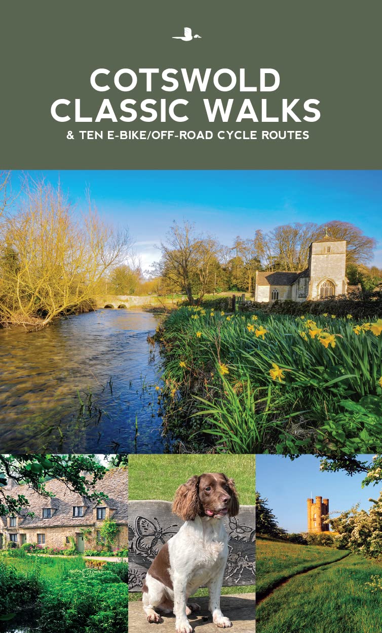
Cotswold Classic Walks guide is a wonderful collection of 25 scenic, circular walks that will take you off the beaten track to discover the beautiful Cotswolds.
Be prepared for some hills as you don your boots and enjoy a day or a weekend of fresh air, exercise and some much-needed freedom. We give you advice on which walks are best for kids, for dogs or a sumptuous pub lunch. If you’re after a great view or need some solitude, whatever you need, this book will guide you to find a walk that suits you.
Discover bluebells in springtime, wonderful, hidden-away pubs, pushchair-friendly routes and peace and quiet in remote landscapes. The clear mapping and even clearer instructions will ensure you explore with confidence. Enjoy your time out with this wonderful Cotswold walking guide.
€ 13.95
Een degelijke kaart met aanduidingen van o.a. nationale parken, vliegveld, benzinepomp, dirt-roads. Als overzichtskaart goed te gebruiken.
Certainly, this is the only map of Guam by any major cartographic publishing house. Here are some details: Guam is a north-south island considerably north of New Guinea, and forms part of the American-held group of islands known as the Northern Marianas. Its capital is Hagatna, and the main town is called Tamuning. The island has a well-developed international airport in the middle portion of the island, with a large US military airbase in the northeast corner. The vast majority of the island is touristic, and well worth a visit. The island was "discovered" by Ferdinand Magellan in 1521, and Hagatna is the oldest "European" city in the Pacific, dating from 1686. The town of Inarajan retains a decidedly Spanish appearance to this day. Other attractions include Tumon Beach and its many resorts, the Piti Underwater Observatory, and the famous Cocos Island dive wall. This is a double-sided map, with the Western Pacific Cruising map gracing the second side of the page. This side covers several island entities, and stretches from Australia in the south to Japan in the north and as far to the east as Hawaii and the Cook Islands, so includes such popular cruise destinations as Fiji, Tonga, New Caledonia, the Solomons, Papua, Samoa, Kiribati, and the Marshall Islands. It makes a lovely wall map!
Roads by classification, Rivers and Lakes, National Park, Airports, Points of Interests, Highways, Main Roads, Zoos, Fishing, and much more.
€ 19.95
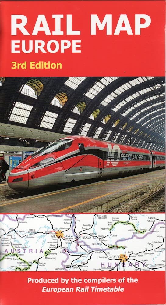
The definitive rail map for today's independent traveller This is the 3rd edition of the map which includes the latest high speed routes and updates (as of December 2021) This map seeks to show all passenger rail routes in Europe (other than those of the suburban networks of major cities) and is the ideal companion to the European Rail Timetable. Important Tourist Railways are also shown, many of which operate only during the tourist season. -Features every mainline railway route across Europe -Colour coding for all high-speed routes -Highlighting for scenic lines -Also includes some principal tourist and heritage lines (services on these lines may not run all year or on every day of the week)

