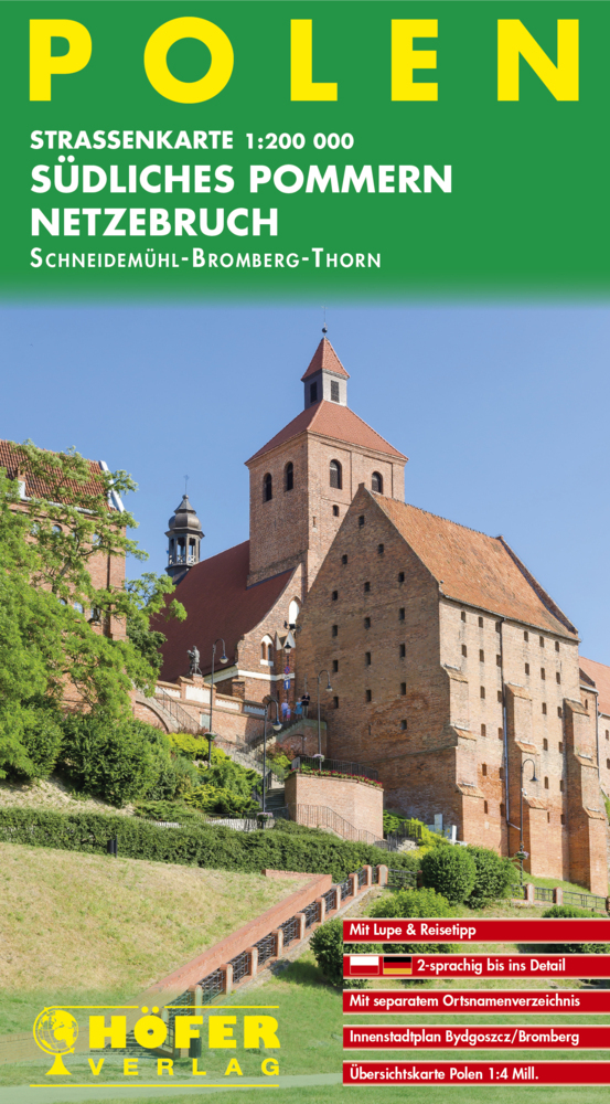
– Straßenkarte 1:200 000
– 2-sprachig bis ins Detail
– Mit separatem Ortsnamenverzeichnis polnisch-deutsch / deutsch-polnisch
– Innenstadtplan Bydgoszcz / Bromberg
– Mit Lupe
– Mit Reisetipp
– Übersichtskarte Polen 1:4 Millionen

– Straßenkarte 1:200 000
– 2-sprachig bis ins Detail
– Mit separatem Ortsnamenverzeichnis polnisch-deutsch / deutsch-polnisch
– Innenstadtplan Bydgoszcz / Bromberg
– Mit Lupe
– Mit Reisetipp
– Übersichtskarte Polen 1:4 Millionen
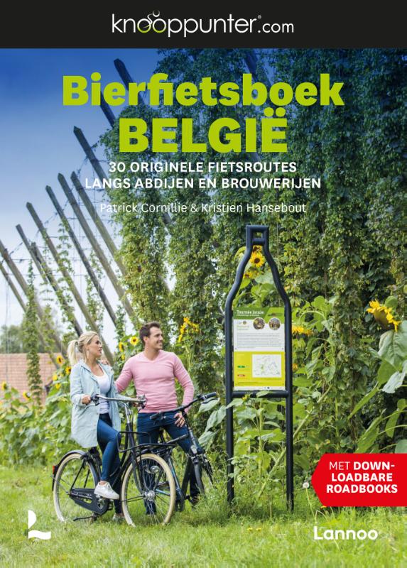
Knooppunter vindt zich telkens opnieuw uit, ditmaal met het 'Bierfietsboek België'. 0Combineer een avontuurlijke fietstocht in eigen land met een biertje van eigen bodem. Heb je de smaak te pakken? Plan dan zeker een bezoekje aan een van de vele abdijen of brouwerijen, en kom meer te weten over de ins en outs van het brouwproces. Iedere fietstocht is vertaald naar een overzichtelijk roadbook en een routekaartje met vermelding van de startplaats, fietsknooppunten, bezienswaardigheden en horeca onderweg.
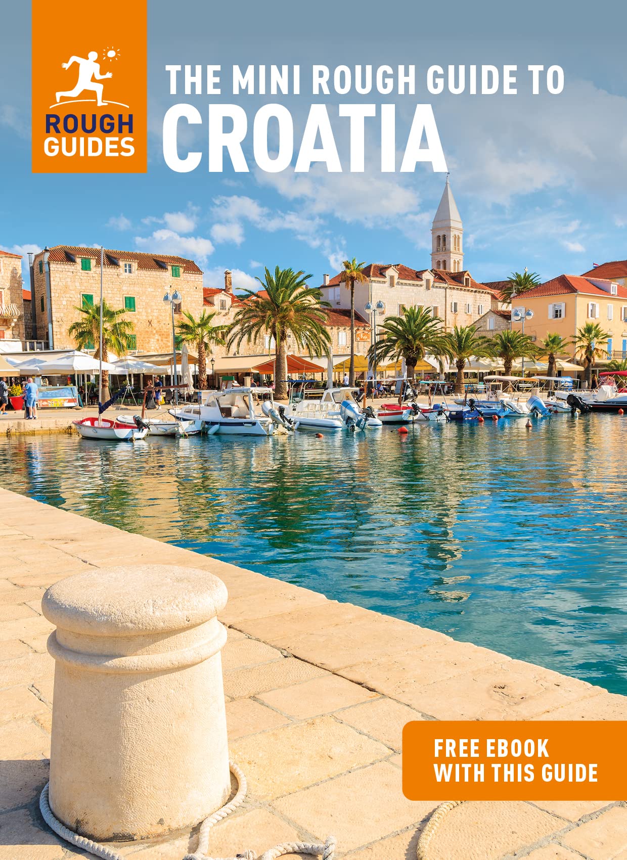
Een kleinere versie in zakformaat van de grotere versies van de Rough Guides. Als altijd weer vol met goede informatie over cultuur en praktische zaken. Achterin kleine plattegronden.
Compact, concise and packed full of essential information about where to go and what to do, this is an ideal on-the-move guide for exploring Croatia. From top tourist attractions like Dubrovnik to hidden gems, including Mljet National Park, plan your perfect trip with this practical, all-in-one travel guide.
Features of this travel guide to Croatia
- Inspirational itineraries: discover the best destinations, sights and excursions, highlighted with stunning photography
- Historical and cultural insights: delve into the country's rich history and culture, and learn all about its people, art and traditions
- Practical full-colour map: with every major sight and listing highlighted, the full-colour maps make on-the-ground navigation easy
- Key tips and essential information: from transport to tipping, we've got you covered
- Dictionary: quick-reference bilingual language guide to help you with vocabulary
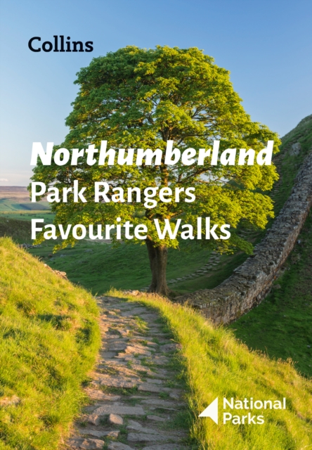
The perfect companions for exploring the National Parks. Walking guide to the Northumberland National Park, with 20 best routes chosen by the park rangers. Each walk varies in length from 2 to 10 km and can be completed in less than 4 hours.
20 best routes chosen and written by National Park rangers Walks from 2 to 10kmDetailed description for each walk with highlights clearly marked on the map along with an accompanying map and photographsGeneral information about the National Park plus basic advice on walking This and the Northumberland National Park Pocket Map (ISBN: 9780008462703) are the perfect companions for exploring this superb walking area of the North East.
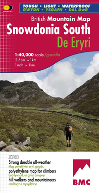
"The 1:40,000 scale used by British Mountain Maps is excellent for hill walking. These maps provide clear, detailed information." Sir Chris Bonington, mountaineer.
The key mountains of Southern Snowdonia on one map at 1:40,000 scale.
Includes Cadair Idris, the Arans and Arenig Fawr.
Snowdonia South is the latest title in the highly successful and innovative British Mountain Map series. It adjoins existing title, Snowdonia and covers the very popular Cadair Idris, the Rhinogs, the Arans and Arenig Fawr. Printed on polyethylene this map is durable, tearproof and 100% waterproof. Colour shading is used for easy identification of the hills and valleys. The map is also less than half of the weight of a laminated map. The reverse side of the map includes a map extension south to Aberdovey, a geological map, mountain incident, first aid and navigation advice. Local phone numbers and website addresses are also listed.

Overal ter wereld wordt gebakken. Van Oostenrijkse apfelstrudel tot Portugese pastéis de nata en van Indonesische pandancake tot aan Amerikaanse devil's foodcake. Of wat denk je van koeksisters uit Zuid-Afrika en Russische honingtaart? In De Bakatlas laat Rutger van den Broek je in meer dan 150 toegankelijke recepten zien hoe divers er over de hele gebakken wordt en hoe je dat zelf thuis kunt doen: van koekjes, taarten en cakes tot aan brood(jes) en desserts. Bron: Flaptekst, uitgeversinformatie.
Super handig! Een taalgids waarbij naast de gewone vertaling en een fonetische poging daartoe ook een plaatje staat weergegeven. Ideaal voor een moeizame conversatie in een taal die je echt niet kent. En het levert ook nog eens hilarische momenten op met een local.
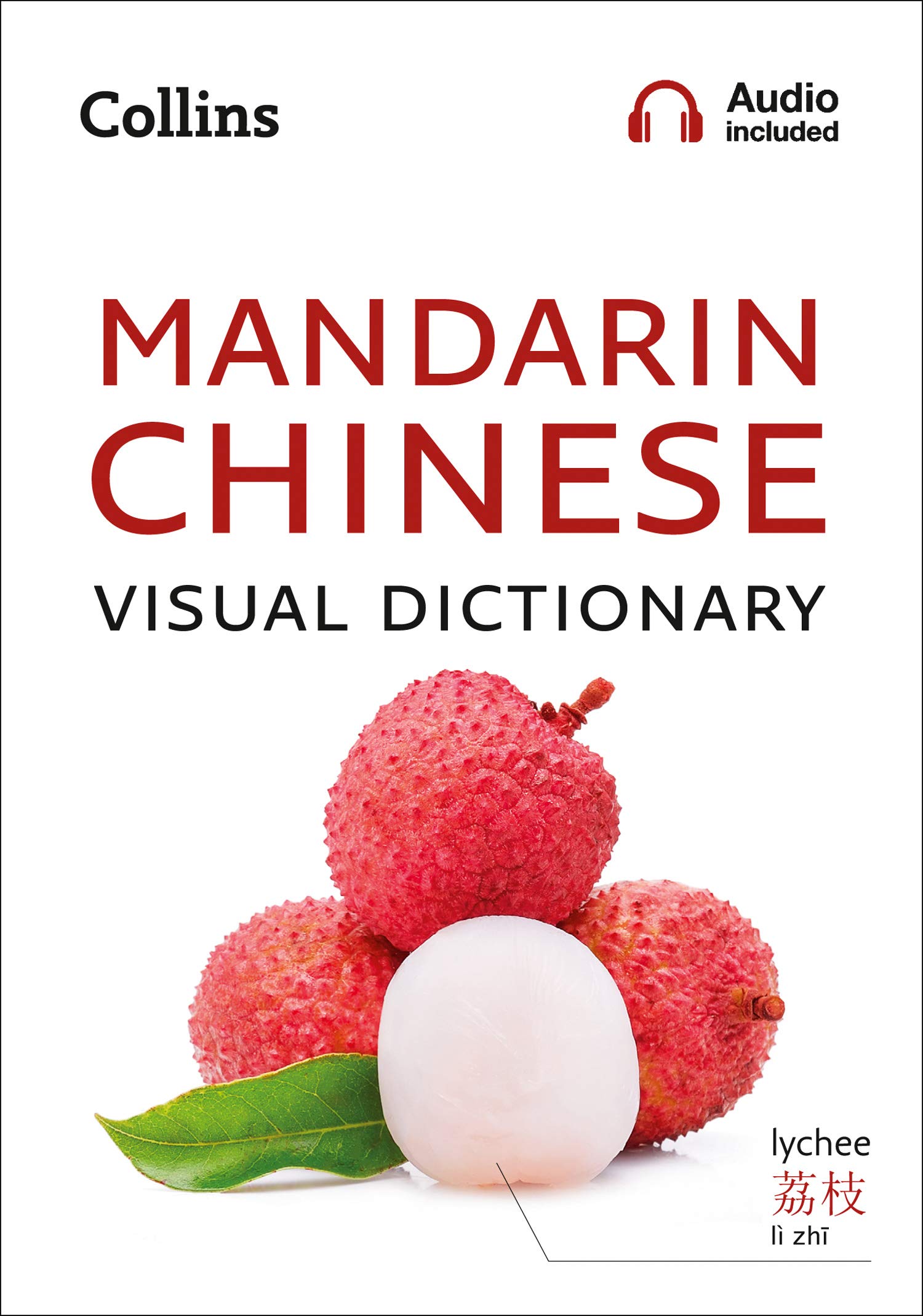
Immerse yourself in this photographic guide to the key words and phrases in Chinese. This attractive book is perfect for travelling and provides a practical guide to Chinese language and culture. Everyday words are arranged in themes with carefully selected up-to-date images to illustrate key words and phrases, and a two-way index enabling you to find words quickly as you learn. All essential words and phrases for modern life in China are at your fingertips with topics covering home life, work and school environments, shopping, food and drink, sport and leisure, transport, technology, and the environment. Great care has been given to represent modern Chinese culture and enhance your experience of China and its people, including food and drink, customs, celebrations, and festivals.
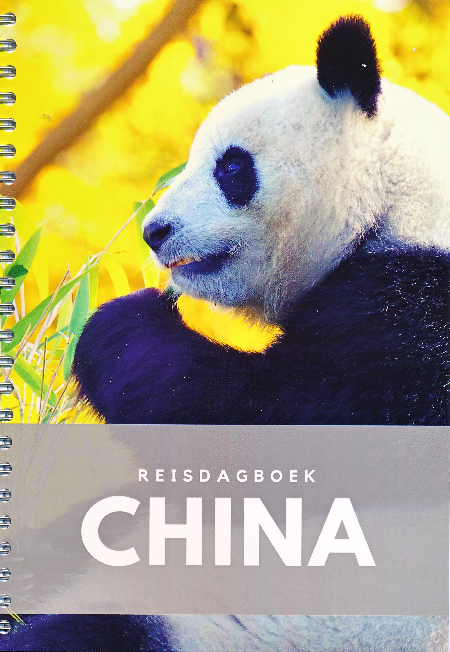
Mooi vormgegeven reisdagboek, handig in spiraal. Niet alleen leuk om voor jezelf te kopen, maar ook om als kado weg te geven aan iemand die naar dit land of continent op reis gaat.
Geen algemeen dagboek over reizen, maar specifiek over China. Het tijdsverschil, een kaart, cijfers en weetjes over deze droombestemming. Schrijf je eigen boek / reisgids / travel roman / de ultieme herinnering. Ringband.

"The Brecon Beacons have an irresistible draw and this is where I began my journey to the roof of the world. The breathtaking landscape provides challenges and adventures for all ages and abilities and this expertly designed map is the key to exploring it." Tori James, the first Welsh woman to climb Mount Everest
Brecon Beacons - the latest edition to the popular British Mountain Map series. It covers 350 square mile of country - the only really detailed map to cover this whole area on one sheet. These maps are a leap forward in technical excellence. Tough, durable, and 100% waterproof, they are compact - not the great bulky package you get with a laminated map - and they are light to carry. This all weather British Mountain Map for climbers, hill walkers and mountaineers is published by HARVEY in co-operation with the British Mountaineering Council.
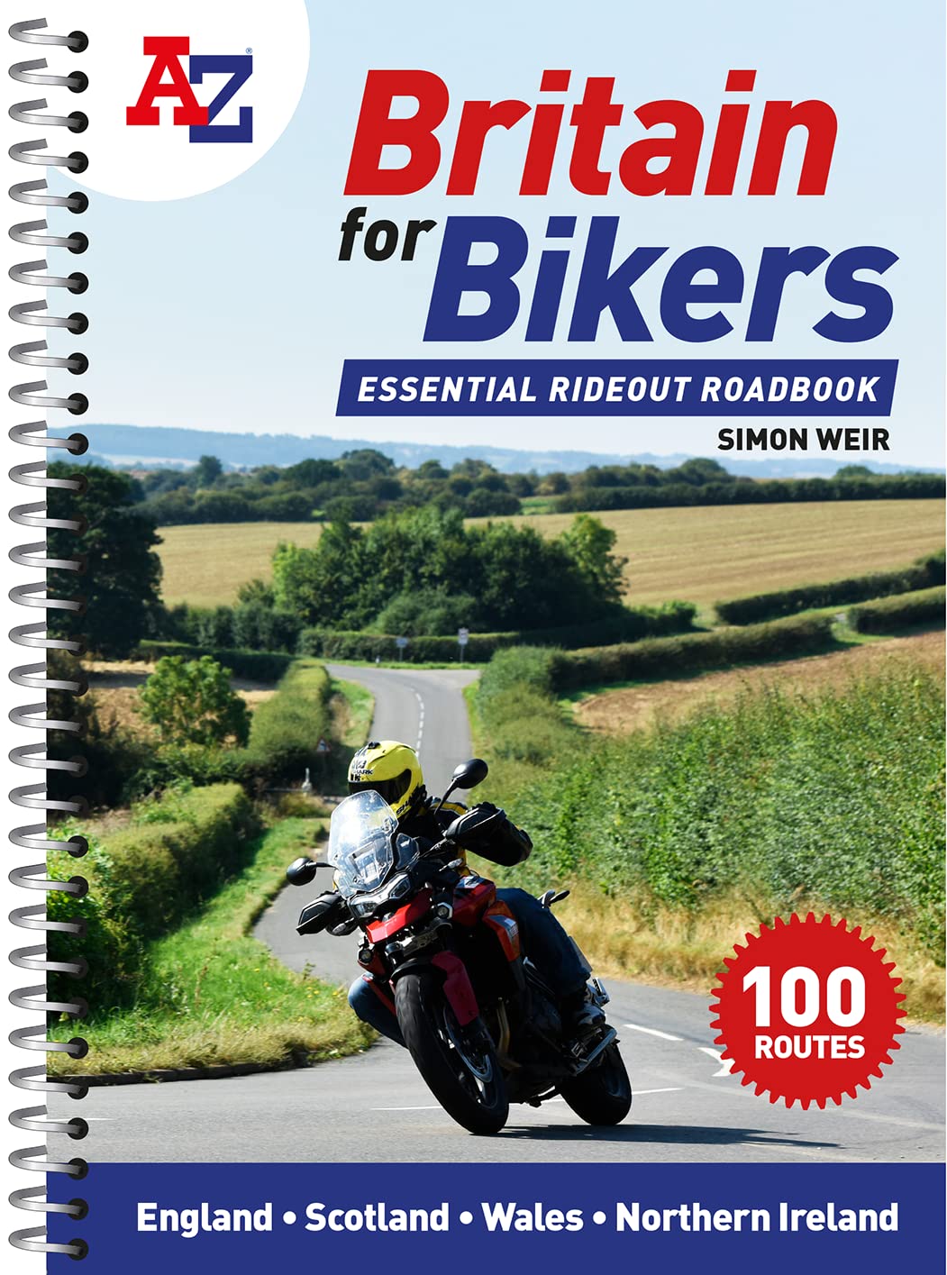
Discover the best biking routes around Great Britain and Northern Ireland.
Your essential rideout roadbook covering the best biking routes around Great Britain and Northern Ireland, including short trips and longer tours.
Discover the best motorcycling roads around Great Britain and Northern Ireland, chosen by the biking route expert, Simon Weir. Each one is explained in depth with all key attractions highlighted in the detailed A-Z mapping. Stunning photographs and easy-to-follow road book directions throughout.
* Simple turn-by-turn directions and clear maps for every route
* Ideal size for fitting in a tank bag
* Short, practical rides for the weekend, most lasting 1-2 hours
* Comprehensive coverage of every corner of the country
* 100 great rideouts to discover with your friends