€ 23.95
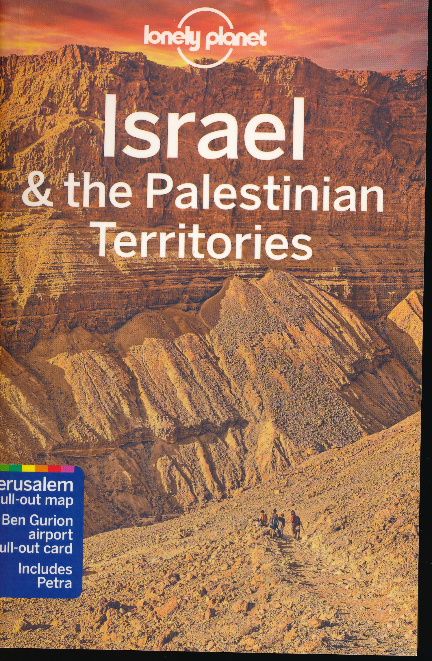
Reisgids Israël & the Palestinean Territories - Palestina | Lonely Planet

De perfecte reisgids voor zowel de georganiseerde als de zelfstandige reiziger. Naast een algemene inleiding van het land / streek vol met praktische informatie over hoe je er het beste kunt reizen: slapen, eten, vervoer, excursies ... alles kun je er in vinden. Engelstalig. Lonely Planet

At the intersection of Asia, Europe and Africa – both geographically and culturally – Israel and the Palestinian Territories have been a meeting place of cultures, empires and religions since history began. Lonely Planet will get you to the heart of Israel & the Palestinian Territories, with amazing travel experiences and the best planning advice.


Lonely Planet’s Israel & the Palestinian Territories is your passport to the most relevant, up-to-date advice on what to see and skip, and what hidden discoveries await you. Walk amongst the ruins of ancient Jericho; take an early morning walk up to the Temple Mount for a breathtaking view of the Dome of the Rock; float in the briny waters of the Dead Sea; all with your trusted travel companion. Get to the heart of Israel & the Palestinian Territories and begin your journey now!


Inside Lonely Planet’s Israel & the Palestinian Territories:


Colour maps and images throughout

Highlights and itineraries help you tailor your trip to your personal needs and interests

Insider tips to save time and money and get around like a local, avoiding crowds and trouble spots

Essential info at your fingertips - hours of operation, phone numbers, websites, transit tips, prices

Honest reviews for all budgets - eating, sleeping, sight-seeing, going out, shopping, hidden gems that most guidebooks miss

Cultural insights give you a richer, more rewarding travel experience - history, people, music, landscapes, wildlife, cuisine, politics

Over 53 maps


Coverage Includes: Jerusalem, Tel Aviv-Jaffa, Haifa & the North Coast, Lower Galilee & Sea of Galilee, Upper Galilee & Golan, West Bank, The Gaza Strip, The Dead Sea, The Negev, Petra



€ 19.95
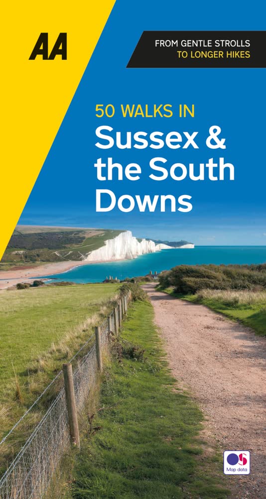
Wandelgids 50 Walks in Sussex and South Downs | AA Publishing

Uitstekende wandelgids met een aantal dagtochten tussen de 5 en 15 kilometer. Niet heel erg lang dus, maar wel op de mooiste plekken en goed beschreven en prima kaartmateriaal.

A variety of mostly mapped walks to suit both the casual walker and the more serious hiker are contained in this illustrated guide. Detailed maps include information on the route - scenery, distance, terrain, places of interest - together with dog-friendly walks. Special features include: an introductory location map indicating the starting point of every walk; a summary of distance, time, gradient, level of difficulty, type of surface and access, landscape, dog friendliness, parking and public toilets; places to visit along the way; refreshment information; and a "what to look for" panel featuring more specific detail of urban and industrial heritage, flora and fauna.

Savour the Sussex countryside with the help of this slim-line pocket-sized walking guide. The guide offers over 50 walks, Rye and the coast, Ditchling Beacon, Amberly and Chichester Town Trail. A lively introduction to the county sets the scene

€ 19.95
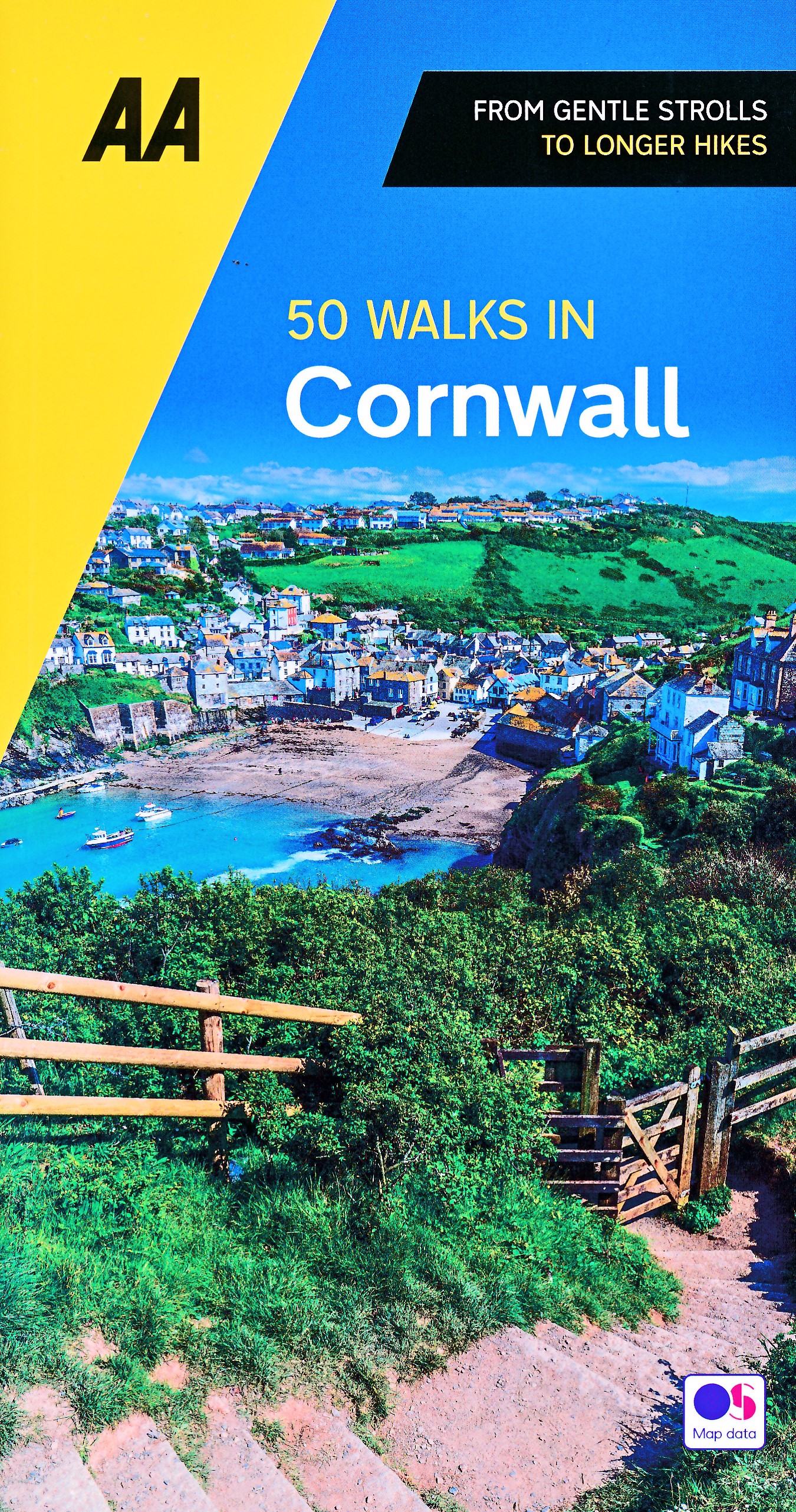
Wandelgids 50 Walks in Cornwall | AA Publishing

Uitstekende wandelgids met een aantal dagtochten tussen de 4 en 15 kilometer. Niet heel erg lang dus, maar wel op de mooiste plekken en goed beschreven en prima kaartmateriaal.

Walking is one of Britain's favourite leisure activities, and this fantastic walking guide to Cornwall features a variety of mapped walks to suit all abilities. The book features all the practical detail you need, accompanied by fascinating background reading on the history and wildlife of the area, as well as other local points of interest. All walks are annotated with local points of interest and places to stop for refreshments and every walk is given a summary of distance, time, gradient, level of difficulty, type of surface and access, landscape, dog friendliness, parking and public toilets.

€ 24.95
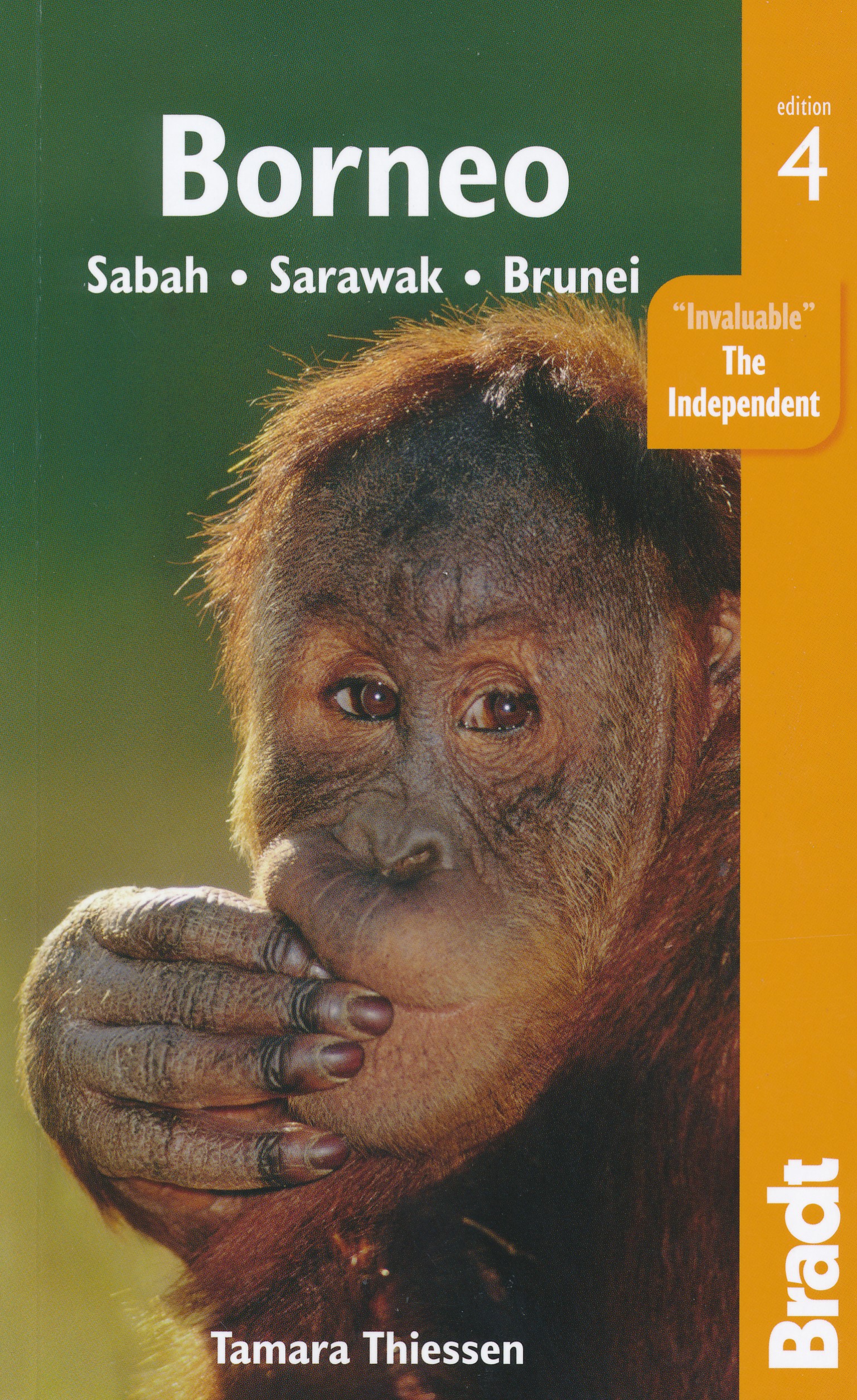
Reisgids Borneo | Bradt Travel Guides

Voor vele landen net zo goed, zo niet beter dan de Planet. Beduidend soberder uitgevoerd, maar ook met veel informatie voor backpackers en met veel kaartmateriaal. Een aanrader!

This fully updated fourth edition of Bradt's Borneo remains the essential guide for visiting this island paradise, focusing on Sabah, Sarawak and Brunei. With all the latest practical information, plus new features such as coverage of the gateway cities of Kuala Lumpur and Singapore, and a review of the political situation and conservation issues, Bradt's Borneo offers everything you need.

Expert author Tamara Thiessen offers in-depth background chapters on the island's exceptional biodiversity and exotic tribal cultures, from the sultry rainforests and sapphire straits of Sabah to the incredible river journeys of Sarawak. Also included is insider information for touring the island, including regional capitals, rural outposts and national parks. As a world-recognised biodiversity hotspot, Borneo's variety and richness of plant and animal life is almost unparalleled. Just 10ha of Bornean rainforest can support up to 700 tree species -more than the number found across the whole of North America - while an estimated 5,000 of Borneo's flowering plant species and 500 animals are endemics, that is unique to the island, including the Bornean Orangutan, which spends more time on the ground than its purely arboreal Sumatran cousins. Also covered are internationally known locations such as Brunei's Ulu Temburong National Park, the stunning coral reefs of the east and west coasts and, in Sabah, the Danum Valley and Sepilok Orangutan Rehabilitation Centre.

From Brunei's mesmerising mosques to the limestone pinnacles of Sarawak's Gunung Mulu National Park, there's plenty to discover in this ideal companion for a successful trip.

€ 21.50
Wandelkaart 8 Westmann Islands - IJsland | Ferdakort

Gedetailleerde wandelkaart van het zuidwestelijke deel van IJsland, met hoogtelijnen, wandelpaden (gemarkeerd en niet gemarkeerde), allerlei topografische details. Deze kaart bestrijkt het eiland juist ten zuiden van IJsland.

A map with an overview of the Westman Islands, and also a more precise map of the town.

One of the titles in a series of special detailed hiking and touring maps, based on the Icelandic topographic survey, covering the most visited parts of the country. Since the administrative changes at the Icelandic survey organization, Landmælingar Islands, the maps are being gradually re-printed showing the name of Ferðakort as their publisher.

This title is a topographic map of the islands, with a street plan of the built-up area on Heimaey. On the reverse, an aerial photo shows Haimaey Island at 1:10,000. The map has a grid showing latitude and longitude in steps of 1' and 2' respectively. Map legend is in Icelandic only.


€ 21.50
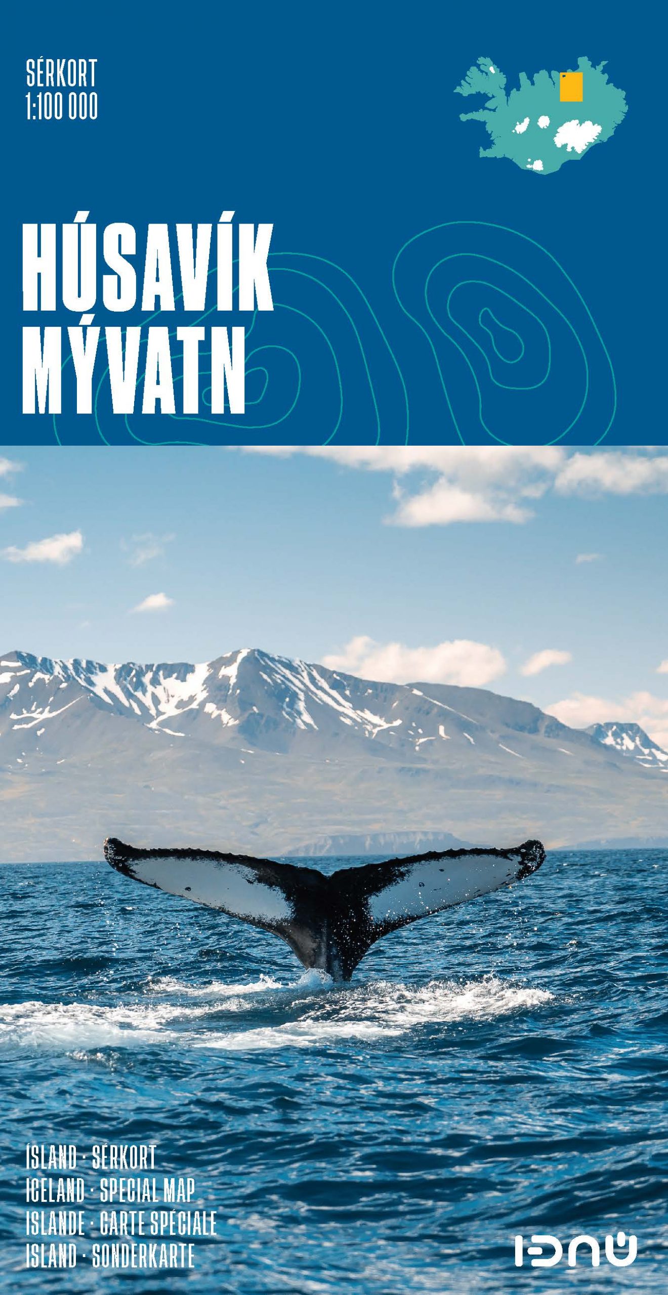
Wandelkaart 4 Husavik - Mývatn - Muggenmeer IJsland | Ferdakort

Gedetailleerde wandelkaart van het zuidwestelijke deel van IJsland, met hoogtelijnen, wandelpaden (gemarkeerd en niet gemarkeerde), allerlei topografische details. Deze kaart bestrijkt het gebied in het noordoosten van IJsland.

High-quality shaded-relief map of a popular region in Iceland. It includes the town of Húsavík, the Aðaldalur valley and the Mývatn area, as the well as the Jökulsárgljúfur National Park. Provides up-to date road information and containsa vast number of place-names.


Size: 66 x 78 cm / Weight: 74 g.


Languages: Icelandic, English, German and French


€ 11.95
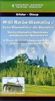
Wandelkaart Rarau-Giumalau - Roemenie | Dimap

Goede wandelkaart van een specifiek deel van Roemenie. Ondanks het feit dat dit voormalig Oostblok-land nog een hoop heeft in te halen, zijn deze detailkaarten van een uitstekend nivo. Voorzien van alle noodzakelijke informatie voor wandelaars: hoogtelijnen, hutten, wandelpaden (al dan niet gemarkeerd).

Summary in Romanian, Hungarian and English languages, geographical network for GPS, guide of tourist routes, list of accommodations

€ 23.95
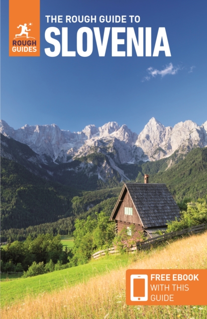
Reisgids Slovenia - Slovenië | Rough Guides

Zeer goede reisgids voor zowel de georganiseerde maar vooral voor de zelfstandige reiziger. Boordevol informatie over reizen, slapen, eten, maar ook musea en cultuur. Voor Europese landen meestal completer en beter dan de Lonely Planet !

This practical travel guide to Slovenia features detailed factual travel tips and points-of-interest structured lists of all iconic must-see sights as well as some off-the-beaten-track treasures. Our itinerary suggestions and expert author picks of things to see and do will make it a perfect companion both, ahead of your trip and on the ground. This Slovenia guide book is packed full of details on how to get there and around, pre-departure information and top time-saving tips, including a visual list of things not to miss.


Our colour-coded maps make Slovenia easier to navigate while you're there. This guide book to Slovenia has been fully updated post-COVID-19 and it comes with a free eBook. The Rough Guide to Slovenia covers: Ljubljana and around, Northwest Slovenia, The Soca Valley to the Istrian coast, Southern Slovenia and Eastern Slovenia.


Inside this Slovenia travel guide you'll find:RECOMMENDATIONS FOR EVERY TYPE OF TRAVELLER Experiences selected for every kind of trip to Slovenia, from off-the-beaten-track adventures in Logar Valley to family activities in child-friendly places, like Kocevski Rog or chilled-out breaks in popular tourist areas, like Lake Bohinj. PRACTICAL TRAVEL TIPS Essential pre-departure information including Slovenia entry requirements, getting around, health information, travelling with children, sports and outdoor activities, food and drink, festivals, culture and etiquette, shopping, tips for travellers with disabilities and more. TIME-SAVING ITINERARIESIncludes carefully planned routes covering the best of Slovenia, which give a taste of the richness and diversity of the destination, and have been created for different time frames or types of trip.


DETAILED REGIONAL COVERAGEClear structure within each sightseeing chapter of this Slovenia travel guide includes regional highlights, brief history, detailed sights and places ordered geographically, recommended restaurants, hotels, bars, clubs and major shops or entertainment options. INSIGHTS INTO GETTING AROUND LIKE A LOCALTips on how to beat the crowds, save time and money and find the best local spots for swimming, kayaking, hiking, skiing or caving. HIGHLIGHTS OF THINGS NOT TO MISSRough Guides' rundown of Ljubljana, Julian Alps, Vipava Valley and Piran's best sights and top experiences help to make the most of each trip to Slovenia, even in a short time.'s best sights and top experiences helps to make the most of each trip to Slovenia, even in a short time.


HONEST AND INDEPENDENT REVIEWSWritten by Rough Guides' expert authors with a trademark blend of humour, honesty and expertise, this Slovenia guide book will help you find the best places, matching different needs. BACKGROUND INFORMATIONComprehensive 'Contexts' chapter of this travel guide to Slovenia features fascinating insights into Slovenia, with coverage of history, religion, ethnic groups, environment, wildlife and books, plus a handy language section and glossary. FABULOUS FULL COLOUR PHOTOGRAPHYFeatures inspirational colour photography, including the stunning Soca River and the spectacular Bled Castle.


COLOUR-CODED MAPPINGPractical full-colour maps, with clearly numbered, colour-coded keys for quick orientation in Ljubljana, Koper, and many more locations in Slovenia, reduce the need to go online. USER-FRIENDLY LAYOUT With helpful icons, and organised by neighbourhood to help you pick the best spots to spend your time. FREE EBOOK Free eBook download with every purchase of this guide book to Slovenia allows you to access all of the content from your phone or tablet, for on-the-road exploration.


€ 27.50
Reisgids Latvia - Letland | Bradt Travel Guides

Voor vele landen net zo goed, zo niet beter dan de Planet. Beduidend soberder uitgevoerd, maar ook met veel informatie voor backpackers en met veel kaartmateriaal. Een aanrader! Engels.

This thoroughly updated edition, rewritten by the current British Ambassador to Latvia, remains the only English-language guidebook with comprehensive coverage of the country.

Latvia is best known internationally through its capital city Riga, whose centre is a UNESCO World Heritage site combining a medieval core providing testimony of its importance as a port of the Hanseatic League and an outer centre containing the most extensive assemblage of Art Nouveau buildings in Europe.


Beyond the capital, Latvia is much larger than Denmark or Switzerland, yet with a population of under two million is one of the most verdant countries in Europe. It is a low-lying landscape of forests, lakes and marshes, offering wonderful hiking, cycling and canoeing, with an increasing range of rural tourism options. During the peak tourism season in summer, Latvia’s Baltic Sea coast comes into its own: almost 500km long, much of this pristine sandy beaches backed by dunes. Seaside options range from cosmopolitan Jūrmala, once a favoured holiday destination of the Soviet elite, to out of the way idyllic spots the visitor will have to themselves.


The legacy of Latvia's complex history is seen in a fascinating and eclectic range of tourist attractions, from medieval castles to the Baroque splendour of Rundāle Palace to a Soviet nuclear bunker. Latvian culture and identity reaches the peak of its expression in the five-yearly UNESCO-listed Song and Dance Festival, involving some 40,000 performers. If you can’t wait for that, why not uncover Latvia’s pagan roots, including the mystical stones of the Pokaiņi Forest, or relax in a combination of traditional saunas and modern spas? For something completely different, you could even visit Karosta former military prison, where the intrepid can book a night in a cell, sleeping on an iron bunk.


As the tourism agency branding puts it, Latvia is magnetic.

€ 10.99
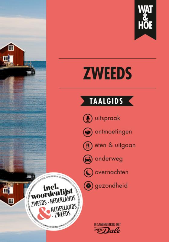
Woordenboek Wat & Hoe taalgids Zweeds | Kosmos Uitgevers

Taalgids met woordenlijst en thematische invalshoeken voor standaard-zinnetjes. Handzaam zakformaat.

Wat & Hoe Taalgids Zweeds is de beste tolk voor op reis. Met ruim 4.000 woorden en zinnen kom je altijd uit je woorden. Vlot de rekening vragen? Een gesprekje aanknopen? Met deze taalgids lukt het allemaal. Ook kun je met deze gids eigen zinnen maken met behulp van de woordenlijst achterin. In veel hoofdstukken is een alfabetische lijst van termen opgenomen inclusief duidelijke aanwijzingen voor uitspraak. Bovendien kun je deze gids ook gebruiken als een eerste hulpmiddel bij het leren van de taal.


De Wat & Hoe Taalgidsen zijn al meer dan 75 jaar verkrijgbaar en staan bekend om hun kwaliteit en volledigheid. De Taalgidsen worden uitgegeven in samenwerking met Van Dale.

Abonneer op