Franstalige wandelgids met een beschrijving van een aantal dagtochten / rondwandelingen. Uitstekende beschrijvingen met duidelijk kaartmateriaal. Mislopen is nauwelijks mogelijk, maar ja .. de franse taal! Ook praktische informatie staat in deze gids. Alle gidsen bevatten een door ons toegevoegde uitgebreide frans - nederlandse wandelwoordenlijst.
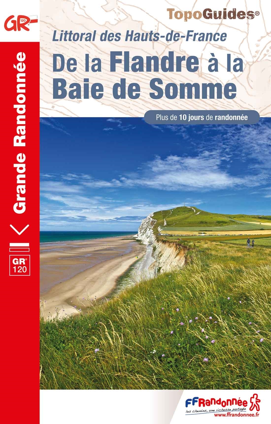
Plus de 10 jours de randonnée sur le littoral des Hauts-de-France à travers le GR® 120. De la Flandre à la Baie de Somme, découvrez de nombreux sites naturels exceptionnels : baie d'Authie, dunes d'Écault, platier d'Oye...
L'itinéraire du GR® 120 commence en Belgique depuis la ville de bord de mer, la Panne.
Il se poursuit le long du littoral dans le Pas-de-Calais, dévoilant les trésors de la côte d'Opale : la réserve naturelle du platier d'Oye, la baie de Wissant, la ville portuaire de Boulogne-sur-Mer ou encore les dunes d'Écault.
Pour les amoureux de grands espaces naturels encore sauvages, l'itinéraire mène le randonneur à la baie d'Authie où la faune et la flore s'épanouissent.
Le GR® 120 se termine à Tréport en Seine-Maritime, station balnéaire animée par son port de pêche.
€ 19.95