Eén ding mag zeker niet ontbreken bij het ontdekken van de natuur - of het nu gaat om vogel- of natuurobservatie, dierherkenning of wandelen: een hoogwaardige verrekijker is hier de constante metgezel. Met de Expedition Natur verrekijker kunnen kleine natuurliefhebbers grote ontdekkingen doen.
Eines darf beim Entdecken der Natur auf keinen Fall fehlen - ganz egal, ob es um Vogel- oder Naturbeobachtung, Tierbestimmung oder Wandern geht: ein hochwertiges Fernglas ist hier der ständige Begleiter. Mit dem Expedition Natur Fernglas machen kleine Naturfreunde große Entdeckungen.
Das Fernglas ist ein echter Klassiker und speziell für Kinderhände gemacht. Es bietet eine achtfache Vergrößerung und einen Objektivdurchmesser von 21 mm - perfekt für Tier- und Vogelbeobachtungen am Tag. Ähnlich wie ein Fernglas für Erwachsene liefert das Expedition Natur Fernglas scharfe Bilder, sodass auch kleine Abenteurer auf Wanderungen oder Entdeckungstouren im Wald viele interessante Dinge beobachten können.
Die gummierte Oberfläche des Fernglases sorgt für einen sicheren Griff. Zusätzlichen Halt garantieren die Umhängekordel, dank der das Fernglas immer sofort griffbereit ist, und die Gürteltasche, in der es praktisch verstaut werden und überallhin mitgenommen werden kann. Mit demzentralen Zoom-Rad lässt sich die Schärfe kinderleicht einstellen und weiter entfernte Objekte können fokussiert werden.
Garantierter Entdeckerspaß für alle kleinen Nachwuchsforscher!
€ 18.95
€ 11.95
De DAV-kaartaanwijzer is een praktisch en universeel toepasbaar hulpmiddel voor het werken met topografische kaarten. Het biedt waardevolle diensten voor het voorbereiden en oriënteren van reizen in het veld. Verschillende schaalbalken maken het gemakkelijker om de afstand op de kaarten 1:25 000 en 1:50 000 te bepalen. De gebruiker heeft twee verschillende rasters tot zijn beschikking voor exacte locatie-informatie met coördinaten (bijv. UTM) in topografische kaarten. Coördinaten gemeten met de GPS zijn er ook makkelijker mee over te zetten naar de kaart. Met de kaart gradenboog (360°) richtingshoeken, b.v. B. werden bepaald met een kompas, overgebracht met de peilinglijn in topografische kaarten. Routebeschrijvingen kunnen ook van de kaart worden afgelezen om op het kompas in te stellen. Met behulp van een dunne nylondraad (volgkoord) kan de hoek tot op één graad worden afgelezen. Voor de kaartschaal 1: 25.000 en 1: 50.000 is er een hellingsschaal voor het bepalen van de helling in graden vanaf de kaart. Door de schaalafstanden te vergelijken met de afstand tussen twee aangrenzende hoogtelijnen, kan de hellingshoek tussen 10° en 60° worden bepaald. Dit is met name belangrijke informatie bij de beoordeling van het lawinegevaar. De DAV-kaartaanwijzer, gemaakt van weerbestendige, transparante folie in het formaat 12x20 cm, met gedetailleerde gebruiksaanwijzing. Volledig herziene versie!
Der DAV-Planzeiger ist ein praktisches und universell verwendbares Hilfsinstrument für die Arbeit mit topographischen Karten. Er leistet bei der Tourenvorbereitung und der Orientierung im Gelände wertvolle Dienste.
Unterschiedliche Maßstabsleisten erleichtern die Ermittlung der Entfernung auf den Karten 1:25 000 und 1:50 000. Zur genauen Ortsangabe mit Koordinaten (z.B. UTM-) in Topographischen Karten stehen dem Benutzer zwei unterschiedliche Raster zur Verfügung. Auch mit dem GPS gemessene Koordinaten sind mit ihm leichter in die Karte zu übertragen.
Mit dem Kartenwinkelmesser (360°) lassen sich Richtungswinkel, die z. B. mit einem Kompass ermittelt wurden, mit der Peilschnur in Topographische Kartenübertragen. Ebenso lassen sich auch Richtungen aus der Karte für die Einstellungam Kompass herauslesen. Das Ablesen des Winkels erfolgt mit Hilfe eines dünnen Nylonfaden (Peilschnur) auf ein Grad genau.
Für den Kartenmaßstab 1:25.000 und 1:50.000 ist ein Neigungsmaßstab zur Bestimmung der Hangneigung in Grad aus der Karte vorhanden. Durch den Vergleich der Skalenabstände mit dem Abstand zweier benachbarter Höhenlinien lässt sich die Hangneigung zwischen 10° und 60° ermitteln. Dies ist vor allem bei der Beurteilung der Lawinengefahr eine wichtige Information.
Der DAV-Planzeiger, aus wetterfester, transparenter Folie im Format 12x20 cm, mit ausführlicher Gebrauchsanweisung. Völlig übearbeitete Ausführung!
€ 10.00
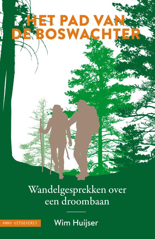
Inspirerende gesprekken met boswachters en 24 wandelroutes verspreid over Nederland. Voor veel mensen is het een onvervulde kinderdroom: boswachter worden. Lekker vogels kijken, alle bomen uit je hoofd leren. Maar hoe romantisch is dat beroep anno 2021 nog? Over die vraag heeft Wim Huijser het boek 'Het pad van de boswachter' geschreven. Hij ging met een dertigtal boswachters mee op pad. Over boswachters bestaat de misvatting dat ze de hele dag rondstruinen in de natuur. Veel Nederlanders zouden daarom graag hun ‘gewone’ kantoorbaan inruilen voor het ultieme buitenberoep. Natuurlijk ligt de werkelijkheid genuanceerder. Boswachters hebben ook gewoon een baan met vergaderingen en papierwerk. En vanzelfsprekend heb je er een passende opleiding en ervaring voor nodig. Ook Wim Huijser droomde er in zijn jeugd van om boswachter te worden. Het leven bracht hem echter op een ander spoor. De afgelopen jaren ging hij in heel Nederland op pad met tientallen boswachters. Onderweg sprak hij met hen over het natuurgebied waarin ze werkzaam zijn, hun favoriete flora en fauna en de realiteit van een droombaan.
€ 21.95
Explore the places that time forgot. Abandoned, mysterious, sleeping monuments around the world have been relegated to the margins of history, pushed off the map and out of sight.
From ancient ruins and crumbling castles to more recent relics – an art deco New York subway station, a Soviet ghost town in the Arctic Circle, a flooded Thai mall teeming with aquatic life – Travis Elborough takes you on a journey into these strange, overlooked and disappearing worlds and immortalises their fates.
Original maps and stunning colour photography accompany Travis Elborough’s moving historic and geographic accounts of each site. The featured locations are a stark reminder of what was, and the accounts in this investigative book help to bring their stories back to life, telling us what happened, when and why, and to whom.
The book features 40 sites, including:
Santa Claus, Arizona, USA: A festive tourist resort turned ghost town deep in the desert where once you could meet Santa Claus any day of the year;
Crystal Palace Subway, London, UK: One of the city’s best-kept secrets is an underground, cathedral-like relic from where many Victorian commuters bustled through;
Montserrat, West Indies: The small Caribbean island with a population of 5,000 that was evacuated when its volcano erupted in 1995. The volcano is still active and nearly half the island remains a designated exclusion zone;
Balaklava Submarine Base, Crimea: The former top-secret Soviet submarine base that was kept off all official maps and known as Object 825 GTS;
Volterra Psychiatric Hospital, Tuscany, Italy: Once dubbed ‘the place of no return’, this long-closed lunatic asylum once housed 6,000 patients who were never allowed to leave.
Also in the Unexpected Atlas series: Atlas of Improbable Places, Atlas of Untamed Places, Atlas of the Unexpected and Atlas of Vanishing Places (WINNER Illustrated Book of the Year - Edward Stanford Travel Writing Awards 2020).
€ 34.95
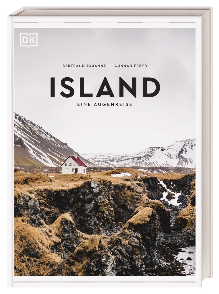
In dem Bildband Island - Eine Augenreise werfen über 300 kunstvolle Farbfotos einen ganz besonderen Blick auf Bekanntes und weniger Bekanntes und lassen Sie staunen angesichts der überwältigenden Naturwunder Islands. Von breiten Gletscherflüssen, schneebedeckten Kraterlandschaften und arktischen Denkmälern bis zu den tanzenden Polarlichtern Islands - die ästhetische Bildsprache macht dieses Reisebuch außergewöhnlich. Neben den schönsten Orten Islands und Touren durch die verschiedenen Regionen bieten Themenseiten und Porträts von Einheimischen spannendes Hintergrundwissen und werfen einen sehr persönlichen Blick auf den Alltag auf der Insel. Dieses Reisebuch ist das perfekte Geschenk für alle Island-Fans und natürlich für sich selbst.
Klappentext zu „Island “
Atemberaubende Fotografien wecken Reisesehnsucht: In diesem Bildband werfen über 300 kunstvolle Farbfotos einen ganz besonderen Blick auf Bekanntes und weniger Bekanntes und lassen Sie staunen angesichts der überwältigenden Naturwunder Islands. Von breiten Gletscherflüssen, schneebedeckten Kraterlandschaften und arktischen Denkmälern bis zu den tanzenden Polarlichtern Islands - die ästhetische Bildsprache macht dieses Reisebuch Island außergewöhnlich.
Tauchen Sie ein in das Land der Vulkane, Gletscher und Geysire -
dieser besondere Bildband Island entführt Sie auf die sagenumwobene Insel: Wild und unberührt, märchenhaft und mystisch, Island ist ein Land der Extreme. Egal ob Sie Islandpferden, Polarfüchsen oder Blauwalen begegnen, in heißen Naturquellen wie der Blauen Lagune baden, die gewaltigen Geysire Islands bestaunen, die Troll-Halbinsel Tröllaskagi besuchen, auf den Spuren isländischer Sagas wandeln oder die nördlichste Hauptstadt der Welt Reykjavík erkunden - Sie werden dieses Land nie vergessen!
Lassen Sie sich von den schönsten Orten und Sehenswürdigkeiten Islands inspirieren: Von der wundervollen Seenlandschaft Mývatn mit eindrucksvollen Wasserfällen, dampfenden Geothermalfeldern, Höhlen und Kratern über die farbenfrohe Bergwelt Landmannalaugar mit den bemerkenswerten Rhyolith-Bergen und majestätischen Lavafeldern bis zur Halbinsel Snæfellsnes, die so viele verschiedene Sehenswürdigkeiten aufweist, dass sie auch "Island in Miniatur" genannt wird.
Spannendes und sehr persönliches Hintergrundwissen versucht die Schönheit des Landes zu würdigen: Das Land der Sagas, Islands Frauen, Die Geheimnisse der Geothermie, Islands Tier- und Pflanzenwelt, Das Leben auf dem Land, Islands Badekultur und viele weitere interessante Themen bringen Land und Menschen nahe. Porträts von Einheimischen geben tiefe persönliche Einblicke in den Alltag auf der Insel.
Alle Regionen Islands werden in ihrer Besonderheit vorgestellt, Karten zeigen die wichtigsten Orte: Der
energiegeladene Westen mit dem vergletscherten Vulkan Snæfellsjökull, dessen Form ein wenig an Japans Fuji erinnert. Das Land der Wildnis, Die Westfjorde, ein riesiges Plateau, in das einstige Gletscher ein wildes Durcheinander aus tiefen Fjorden gegraben haben. Der Norden, der nur noch einen Katzensprung vom Polarkreis entfernt ist. Das Hochland, die riesige Wildnis, die gänzlich unbewohnt von Menschen ist. Die Ostfjorde, mit seltsamen orangefarbenen Bergen, die über den Meereswellen aufragen. Der Süden mit dem 350 Kilometer langen schwarzen Sandstrand. Und natürlich Reykjavík, die stolze Hauptstadt des Nordens.
Touren und Spaziergänge nehmen Sie mit auf Ihre ganz persönliche Island Reise: Aufregende Routen wie Vier Tage im Hochland oder Drei Tage in Reykjavík und auf Reykjanes bieten Augenschmaus, Abenteuer und Sehenswürdigkeiten satt.
Dieses Reisebuch Island - Eine Augenreise ist das perfekte Geschenk für alle Island-Fans und natürlich für sich selbst.
€ 29.99
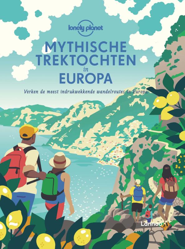
Lonely Planet's Mythische trektochten in Europa staat garant voor levenslang wandelplezier!
In dit boek komen 50 spectaculaire wandelroutes - van Andalusië tot de poolcirkel - en 150 alternatieve suggesties aan bod.
In Lonely Planet’s Mythische trektochten in Europa komen 50 spectaculaire wandelroutes – van Andalusië tot de poolcirkel – en 150 alternatieve suggesties aan bod. Van de zonovergoten regio’s van Zuid-Europa, waaronder Italië, Griekenland, Portugal en Spanje, tot de geschiedenisrijke landschappen van Noord-Europa (waaronder Frankrijk, Duitsland, België, Groot-Brittannië, Ierland en Scandinavië) bestrijkt dit boek een enorme verscheidenheid aan thema’s en ervaringen voor elk type wandelaar. Mythische trektochten in Europa bevat een aantal klassieke routes om af te vinken: Ierland’s Dingle Way, Speyside’s Malt Whisky Trail, een slagveldwandeling door België en Italië’s prachtige Sentiero degli Dei langs de Amalfi kust.
De trektochten variëren van stedelijke omzwervingen tot bergbeklimmingen, met daartussen wijnroutes, kustwandelingen, meerdaagse pelgrimstochten, culturele uitstapjes en sneeuwschoenwandelingen. Zowel voor startende als ervaren wandelaars.
Het boek is ingedeeld naar vier regio’s: Noord-Europa, West-Europa, Zuidoost-Europa en Oost-Europa. De vijftig ‘mythische trektochten’ worden elk in ongeveer 6 pagina’s beschreven. Met mooie sfeerfoto’s, een korte karakteristiek, historische achtergrond, schematisch landkaartje en praktische info. Ook krijgt elke tocht een indicatie voor de zwaarte: eenvoudig, zwaarder, ‘mythisch’. Er worden kort alternatieve wandeltochten in hetzelfde gebied voorgesteld.
Een schitterend boek om een overzicht te krijgen van de bestaande wandeltochten in Europa. Als je een keuze voor een tocht hebt gemaakt, dan is een meer gedetailleerde gids noodzakelijk.
INHOUDSOPGAVE
INLEIDING 06
NOORD-EUROPA 08
Aarde, wind en vuur: de Laugavegurinn (IJsland) 10
Wandelen met een doel: het Olavspad (Noorwegen) 16
Deens design kijken in Aarhus (Denemarken) 22
Het wilde noorden: de Karhunkierros Trail (Finland) 28
Senja’s pin-up top (Noorwegen) 34
De Arctic Circle Trail (Groenland) 40
Vijf dagen op de Kungsleden (Zweden) 46
Het Grote Ķemerimoeras (Letland) 52
WEST-EUROPA 58
Het Pembrokeshire Coastal Path (Wales) 60
Van Toulouse naar Carcassonne langs het Canal
du Midi (Frankrijk) 66
Vier dagen op de Alpenpasroute (Zwitserland) 72
Drama op niveau in de Careskloof (Spanje) 78
Helvellyns Striding Edge (Engeland) 84
Over de moddervlakte van de Waddenzee
(Nederland) 90
Vanaf de bron van de rivier op de Lechweg
(Oostenrijk en Duitsland) 96
Een goddelijke route: Il Sentiero degli Dei (Italië) 102
De Dingle Way (Ierland) 108
In de schaduw van de Aletschgletsjer (Zwitserland) 114
Een wandeling door de tijd: het Thames Path (Engeland) 120
Portugese Kustpad 126
Betoverd bos: de Westweg (Duitsland) 132
De Tour de Monte Rosa (Italië en Zwitserland) 138
Een duik in de Gorges de l’Ardèche (Frankrijk) 144
Causeway Coast Way (Noord-Ierland) 150
Trappen en ladders: de Kaiserjäger (Italië) 156
Whiskyproeven op de Speyside Way (Schotland) 162
Mallorca’s Stapelmuurroute (Spanje) 168
Een lus door Andorra: de Coronallacs Trail 174
Een wijnwandeling langs de Moezel (Duitsland) 180
De Pyreneeën over op de Chemin de la Liberté
(Frankrijk en Spanje) 186
Hop on, hop off langs de Heart of Wales Line 192
Beste Oostenrijkse dagtocht: de Pinzgauer Spaziergang 198
Door de dorpen van de Alpujarras (Spanje) 204
Een winterse oversteek van de Grote St-Bernardpas
(Italië en Zwitserland) 210
Corsica’s GR20 (Frankrijk) 216
Het Ness of Hillswick Circuit van Shetland (Schotland) 222
ZUIDOOST-EUROPA 228
De Menalon Trail (Griekenland) 230
Het dak van Montenegro: Bobotov Kuk 236
De Juliana Trail in Slovenië 242
Te voet door een land van verdwijnende meren (Slovenië) 248
Grensland: de Peaks of the Balkans Trail
(Montenegro, Albanië en Kosovo) 254
Historische wandeling: de Lycian Way (Turkije) 260
Sarajevo’s Mt Trebević Trail (Bosnië en Herzegovina) 266
De Balkan over langs de Via Dinarica 272
Trap naar de Vikoskloof (Griekenland) 278
OOST-EUROPA 284
Beste van de Hoge Tatra: Tatranská Magistrala (Slowakije) 286
Leidende sterren: de Transcaucasian Trail (Georgië) 292
Van Polen naar Wit-Rusland langs het Augustówkanaal 298
Oversteek van het Rilagebergte (Bulgarije) 304
Rocksterren van Tsjechisch-Zwitserland (Tsjechië) 310
€ 14.50
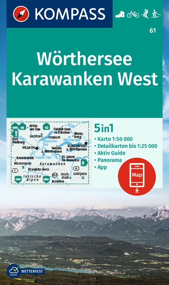
Goede wandelkaart met vrijwel alle topografische details als hoogtelijnen, vegetatie, schaduwtekening maar ook de ingetekende wandelroutes en in veel gevallen ook fietsroutes (MTB). Gevaarlijke routes worden als zodanig weergegeven met een bepaalde markering. Berghutten en campings zijn goed terug te vinden op deze kaarten.
Daarnaast staan de toeristische bezienswaardigheden met symbolen vermeld. Kleurgebruik kan soms vrij fel overkomen, daardoor oogt deze detailkaart wellicht wat druk, maar het blijft een goed leesbare kaart. Sommige kaarten zijn geplastificeerd, maar helaas niet allemaal. De graden staan aan de zijkanten van de kaart, daardoor te gebruiken voor GPS.
Steden/dorpen/gebieden:
Afritz, Feldkirchen, Moosburg, Bad Bleiberg, Ossiach, Villach, Velden, Klagenfurt, St. Jakob, Arnoldstein, Kranjska Gora, Jesenice
Bergen/dalen:
Gerlitzen, Wurzenpass, Loiblpass
Rivieren/meren:
Drau, Gail, Glan, Faaker See, Wörthersee, Ossiacher See
€ 25.00
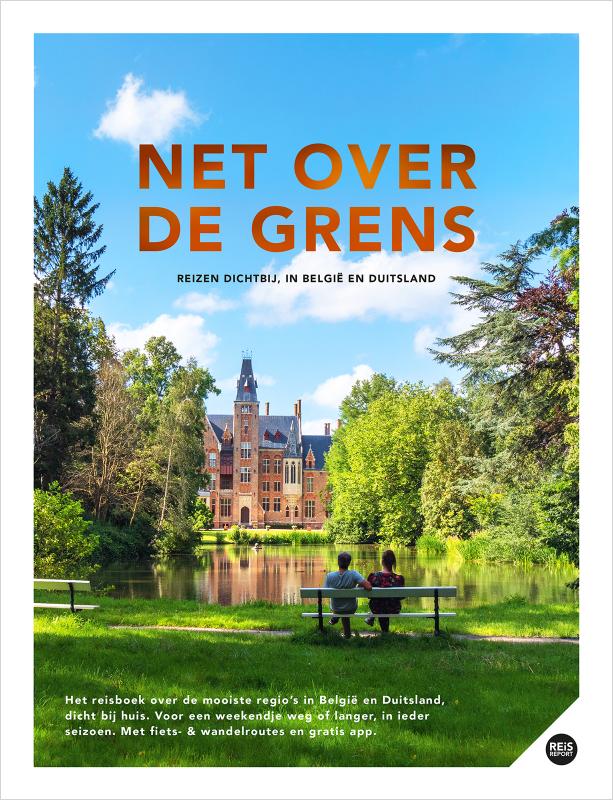
Het bijzondere buitenland dicht bij huis
De mooiste plekken buiten ons land zonder ver te hoeven reizen? Net over de grens liggen prachtige regio’s verscholen in België en Duitsland. Met dit hardcover boek van de ervaren reisgids makers van REiSREPORT, weet je waar je moet zijn. Een luxe reisboek van maar liefst 268 pagina’s voor een verrassende stedentrip, een dag, weekend of langer weg in elke maand van het jaar.
In het kort
Verrassende regio’s net over de grens, in België en Duitsland
Boordevol tips, foto’s, kaarten en wandel- & fietsroutes
Ertussenuit in de lente, zomer, herfst en winter
Inclusief gratis mobiele app voor onderweg
Luxe hardcover met leuk leeslintje
Prachtig cadeau voor jezelf of iemand anders
Eropuit met de auto, camper, trein, fiets of te voet.
Zeer uitgebreid reisboek
Compleet met talloze tips, achtergrondinformatie, fiets- en wandelroutes, honderden foto’s, slaapplekken en gratis mobiele app voor onderweg.
Verrassende en onbekende plekken
Dit reisboek neemt je mee naar regio’s waar je weleens van hebt gehoord en naar onbekende plekken die nog niet op je bucketlist staan. Van bruisende steden tot idyllische dorpjes, zonnige stranden tot heuvels vol wijnvelden, fraai gelegen kloosters, knusse eilandjes, fiere berglandschappen en indrukwekkende gangenstelsels diep onder de grond. We nemen je mee naar verrassende regio’s die we uitvoerig behandelen. Maak je dan ook klaar voor bijzondere ontdekkingsreizen, zonder duizenden kilometers te hoeven reizen.
Prachtig cadeau
Dit luxe afgewerkte hardcover boek heeft een gouden titel, een fraai leeslintje, mooie kaarten en honderden schitterende foto’s. Een prachtig cadeau voor een verjaardag, pensioen, reislustige collega of natuurlijk voor jezelf. Op de website www . reisreport . nl is nog meer informatie en videomateriaal beschikbaar.
€ 25.99
IJsland staat bekend als 'het land van vuur en ijs', dankzij de machtige vulkanen en uitgestrekte gletsjers. Maar het indrukwekkende landschap is beslist niet de enige reden waarom het land al jaren voorkomt op de lijst van bestemmingen die je ooit gezien móet hebben. In dit boek vind je er nog veel meer.
Misschien heb je wel eens skyr gegeten en heb je Sigur Rós op je playlist staan, maar wat weet je nou echt van IJsland?
Nína Björk Jónsdóttir en Edda Magnus hebben de hoogtepunten van hun geboorteland voor je op een rijtje gezet, waaronder muziek, literatuur, natuur, culturele festivals, culinaire tradities en bijzondere winkels, zodat de rest van de wereld kan kennismaken met de bijzondere mix van traditionele Noordse wijsheden en moderne liberale opvattingen. Dit is IJsland biedt zo een uniek inkijkje in dit afgelegen en volstrekt unieke land.
€ 24.95
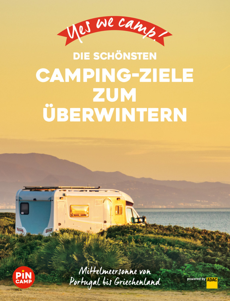
Endlich: Das Buch für alle, die den warmen Süden Europas dem Graupel, dem Matsch und den kurzen Tagen in unseren Breitengraden vorziehen. Hier finden sonnenhungrige Camper und andere Zugvögel einmalige Anregungen: Die schönsten Regionen in Europa für einen warmen Winter mit den besten Ganzjahres-Camping- und Stellplätzen. Egal, ob man dem Winter für ein paar Wochen oder für ein paar Monate entfliehen möchte. Denn was gibt es Schöneres, als die Freiheit, Flexibilität und Ungebundenheit im eigenen Caravan so richtig auszukosten, während die Daheimgebliebenen den Winter-Blues schieben? In Zusammenarbeit mit PiNCAMP, dem Campingportal des ADAC
Overwinteren


