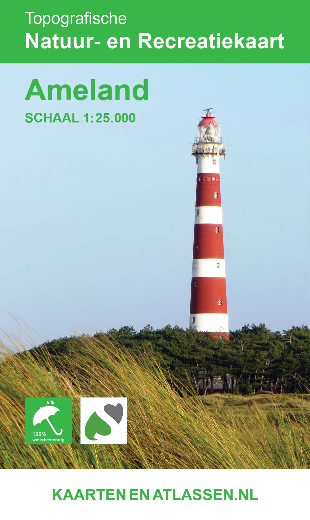
€ 14.95
Wegenkaart - landkaart Kreta | Freytag & Berndt

Gedetailleerde, stevige wegenkaart van Kreta met top 10 tips bezienswaardigheden. Inclusief plaatsnamenregister, legenda in 10 talen (waaronder Nederlands), stadplattegronden,

De berijdbare wegen zijn goed weergeven, zowel de hoofdwegen als provinciale en lokale wegen; wegnummers worden vermeld. Afstanden tussen plaatsen zijn in kilometers op de kaart ingetekend, daarnaast worden ook op belangrijke plekken benzinepompen gemarkeerd.

In het kaartbeeld wordt door middel van schaduw het reliëf weergegeven en soms enkele punten in het landschap met de daadwerkelijke hoogte. Provinciegrenzen zijn goed terug te vinden, nationale parken en reservaten ook. Met allerhande symbolen worden toeristische bezienswaardigheden weergegeven als monumenten, historisch belangrijke plekken en uitzichtpunten. In bepaalde plaatsen zijn hotels en campings te vinden, luchthavens, treinverbindingen en havens vindt u er ook op!

Neben der übersichtlichen Gestaltung bietet die Straßenkarte Kreta 1:150.000 zahlreiche Zusatzinformationen wie z.B. Sehenswürdigkeiten, Campingplätze und einen Innenstadtplan.

Mit dem umfangreichen Ortsregister gelingt eine rasche Orientierung.

Straßenkarte Kreta


Maßstab 1:150.000

Infoguide Top Tips

Entfernungen in km

Aussichtspunkte

Ortsregister mit Postleitzahlen

Innenstadtpläne: Iraklio, Ag. Nikolaos, Chania, Rethimno.

Doppelseitig

Die „Top Tips“ - Reihe bietet ein kleines Beiheft, in dem die zehn wichtigsten Sehenswürdigkeiten in mehreren Sprachen kurz beschrieben sind (Sprachen: Griechisch, Deutsch, Englisch, Französisch, Italienisch, Niederländisch, Spanisch).


€ 11.95
Wandelkaart 323 Thasos - Thassos | Terrain maps

Gedetailleerde wegenkaart en wandelkaart met alle kleine wegen, wandelpaden, hoogtelijnen en toeristische informatie aangegeven. Alle tekst is tweetalig in Engels en Grieks en de waterproof kaart is geschikt voor gebruik met GPS.

This is a great map because:

• It is the only existing GIS map of Thasos, and the only one made with data collected 100% through field survey. This makes it the only truly accurate and GPS compatible map of the island available to date.

• All the island’s trails are accurately shown, for the first time. The length of all trails has been measured in kilometers, so you can estimate the duration of your hike. On the back side, 4 of the island’s best hikes are presented in detail. These are also labeled on the map itself, so you can easily locate them.

• The complete road network is featured, with scenic routes marked in green.

• It is printed on Polyart plastic “paper”, making it totally waterproof and rip-proof. You can fold it and unfold it a hundred times, fold it in irregular ways, dunk it in the sea or leave it out in the rain. This map is indestructible!

• The island’s entire coastline is mapped for the first time with TERRAIN’s specially equipped and staffed cartographic vessel. This means that you can locate all beaches of the island, down to the tiniest cove! In fact, the special features of every single beach are recorded: whether it is sandy or pebbled, whether it features natural tree shade, water, a beach bar or organized water sports, whether the seabed in front of the beach is sandy or rocky (so that you will know where to anchor).

• It indicates the boundaries of NATURA 2000 areas so that you will know which parts of the island are of special environmental interest and beauty – thus you can enjoy traveling through them, but also take care to protect them.

• For the first time the best mountain-biking routes of Thasos are indicated on a map.

• It features a detailed town plan of Limenas, the island’s capital, in the scale of 1:4.500.

• The reverse side features an illustrated mini travel guide, with information on the island’s myths and history, geography and natural environment, sights and major attractions.

€ 22.50
Wandelkaart Trekking map Indian Himalaya | TerraQuest

Mooie gedetailleerde kaart, geplastificeerd. De kaart heeft op de ene kant een algemeen overzicht van de Indische Himalaya met schaal 1/750.000 en op de andere zijde vind je de 22 trekking routes op schaal 1/350.000.

Op zich geen zeer gedetailleerde wandelkaart. Er van uitgaande dat je de tochten toch met een gids of met een groep doet, dan is dit een uitstekende kaart.

Dubbelzijdig geplastificeerde wandelkaart en overzichtskaart van de Indiase Himalaya (Noord-India) en op de achterzijde inzetkaarten met hoogtelijnen en trekkingroutes en voetpaden ingetekend van verschillende wandelroutes in Kashmir, Ladakh, Zanskar, Lahul, Rupshu, Spiti, Kinnaur, Garhwal, Kumaon en Sikim en verder toeristische informatie in symbolen aangegeven

€ 10.50
Wandelkaart 461 Fulda - Hessisches Kegelspiel - Milseburg | Kompass

Goede wandelkaart met vrijwel alle topografische details als hoogtelijnen, vegetatie, schaduwtekening maar ook de ingetekende wandelroutes en in veel gevallen ook fietsroutes (MTB). Gevaarlijke routes worden als zodanig weergegeven met een bepaalde markering. Berghutten en campings zijn goed terug te vinden op deze kaarten.


Daarnaast staan de toeristische bezienswaardigheden met symbolen vermeld. Kleurgebruik kan soms vrij fel overkomen, daardoor oogt deze detailkaart wellicht wat druk, maar het blijft een goed leesbare kaart. Sommige kaarten zijn geplastificeerd, maar helaas niet allemaal. De graden staan aan de zijkanten van de kaart, daardoor te gebruiken voor GPS.


Steden/dorpen/gebieden:

Niederaula, Schlenkengsfeld, Haunetal, Eiterfeld, Geisa, Schlitz, Hünefeld, Großenlüder, Hofbieber, Fulda, Hosenfeld, Künzell, Dipperz, Neuhof, Flieden, Gersfeld


Bergen/dalen:

Hessisches Kegelspiel, Milseburg


Rivieren/meren:

Fulda

€ 24.50
Fietsgids Adventure Cycle-Touring Handbook | Trailblazer Guides

De ultieme fietsgids voor iedereen die bijzondere dromen heeft: geweldige ideeën, tips en informatiebron voor lange fietsreizen over de hele wereld.

Third edition of the book that has become the cycle-tourist's Bible. Harriet & Neil Pike have updated and expanded Stephen Lord's inspirational guide.


Every cyclist dreams of making the big Trip, the Grand Cycle Tour abroad.   Whether that's a two-week trip or a year-long journey, the Adventure Cycle-Touring Handbook is the comprehensive manual that will make the dream a reality.   Riding the Karakoram Highway, cycling in Tibet or pedalling from Patagonia to Alaska, whether you're planning your own Big Trip or just enjoy reading about other people's adventures, the Handbook is guaranteed to illuminate, entertain and above all, inspire. 


Fully updated 3rd edition of the guide to worldwide long-distance trips - from two-week tours to epic adventures of many months or more. The book is divided into seven sections:    


Part 1: Planning and preparation  What kind of ride? – Seasons – Budget and time – Companions – Researching information – Documentation – Visas – Insurance – Money – Health


Part 2 Bikes, Clothing & Camping Gear    Narrowing down your bike choices - Frame material and component options - Top touring bikes – Comfort zone – Tools and spares - Carrying luggage – How much stuff? – Bikepacking setup; Clothing – Footwear; Camping – Tents – Sleeping bags and mats – Stoves – Treating water – Kitchen essentials – Electronic devices


Part 3 On the road   Transporting your bike – Navigating – Staying in touch – Health – Hygiene – Staying Safe – Dirt-road riding


Part 4 Route Outlines – Europe to Asia & Australasia    Practical information and touring tips for: Europe – Southern route through Turkey, Iran and Pakistan –Indian subcontinent – Caucasus – Central Asia – Northern route through Russia & Mongolia – East Asia – South East Asia – Australasia.


Part 5 Route Outlines – Africa   Practical information and touring tips for: the Nile Route – East and Southern Africa – the Sahara – West and Central Africa.


Part 6 Route Outlines – the Americas   Practical information and touring tips for: Pan-American Highway - Alaska to the Lower 48 – Pacific Coast Route – Great Divide Mountain Bike Route – Mexico and Central America – Negotiating the Darien Gap – Riding the Andes from Colombia to Patagonia .


Part 7 Tales from the Saddle   Seven first-hand accounts of spoke-bending biking adventures worldwide.


Appendix - Bicycle Maintenance

€ 20.50
Fietsgids Europaradweg R1 deel 1: Berlijn - Litouwen | IS Radweg

Beschrijving van de R1 fietsroute van Berlijn naar Litauwen, als verlenging op de Europaradweg R1 van Bikeline. De fietsgids is een praktische ringband met 152  blz vol met nuttige info waar u als fietser op zit te wachten: helder kaartjes, stadsplattegronden, uitstapjes, overnachtingsmogelijkheden en campings en natuurlijk toeristische info.

Der Radreiseführer bietet in der praktischen Ringbindung auf 152 Seiten alles, was Sie für eine unbeschwerte Radfernwanderung benötigen:
Karten/Wegskizzen 1:200.000 mit detaillierten Ortsdurchfahrten für die Originalwegführung des Europaradweges R1 und diversen Zusatztouren, z.B. zur Marienburg und zum Fährhafen in Klaipėda.
Weg- und Landesinformationen, Sehens- und Erlebenswertes, Adressen und Links von Touristinformationen, Hotels, Pensionen und Zeltplätzen sowie den Bahn-, Flug- und Fährverbindungen.


€ 19.95
Wandelgids D004 Les Alpes-de Haute-Provence a pied | FFRP

Franstalige wandelgids met een beschrijving van een aantal dagtochten. Uitstekende beschrijvingen met duidelijk kaartmateriaal. Mislopen is nauwelijks mogelijk, maar ja .. de franse taal!
Ook praktische informatie staat in deze gids.

36 randonnées dans les Alpes-de-Haute-Provence, un département connu pour son pastoralisme et sa culture de lavande. Ce topoguide propose des itinéraires pour tous les niveaux à travers le parc naturel régional du Luberon, les gorges du Verdon, les Préalpes de Digne, le plateau de Valensole ou encore la montagne de Lure. Des randos idéales pour les familles autour de Forcalquier et des itinéraires plus sportifs vers Barcelonnette et Annot.


€ 25.95
Reishandboek Reizen met Kinderen - Travel with Children | Lonely Planet

TFrom visiting Santa's home in Palland to spotting penguins in Patagonia or touring temples in Laos, this books makes family travel easier.

Our team of parent-authors provides ideas and advice for every aspect of travelling with junior adventurers, giving parents the tools and the confidence to plan the trip of a lifetime in more than 80 countries around the world. This is family-friendly travel without the fuss.

Hundreds of fun travel ideas for children of all ages

Information and advice for more than 80 family-friendly destinations

Details on how to stay safe and healthy


€ 32.99
Reisgids ANWB Wereldreisgids Indonesië | ANWB Media

De wereldreisgids Indonesië is een praktische reisgids voor de individuele reiziger die gaat voor de verschillende landschappen, natuurgebieden en culturen." Elk onderdeel van deze gids begint met hoogtepunten, originele tips, aanbevolen routes, reisplanning en beste reisperioden. Informatie over hotel en (openbaar) vervoer maken de Wereldreisgids bij uitstek geschikt voor de onafhankelijke reiziger. Verder heeft u adressen en prijzen van hotels en restaurants, openingstijden van musea, winkels, bus- en treinverbindingen en veel kaarten bij de hand. De heldere opbouw, mooie foto’s en de grote toegankelijkheid zullen u zeker aanspreken.

De Wereldreisgids is bestemd voor de individuele reiziger die uitgebreide informatie wil over de reismogelijkheden naar, de achtergronden van, alsook de bezienswaardigheden in het land. Bovendien biedt elke gids een schat aan praktische informatie, zowel algemeen als specifiek per plaats. Originele tips, aanbevolen routes en hoogtepunten.

•Een schat aan informatie over kunst, cultuur, natuur en landschap
•Hotels, restaurants, openingstijden en prijzen
•Veel plattegronden en een atlas achterin

Abonneer op