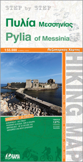
Wandelkaart van een gedeelte van Griekenland. Water- en scheurvast en GPS compatible.
€ 8.95

Wandelkaart van een gedeelte van Griekenland. Water- en scheurvast en GPS compatible.

Een 2-delige kaartenset van Ibiza en Formentera, bij uitstek geschikt voor wandelen en MTB tochten. Zowel de doorgaande wandleroutes staan ingetekend als ook andere wandelmogelijkheden. Met alle noodzakelijke informatie als berghutten, campings. Kleurgebruik vrij fel, waardoor hoogtes goed uitkomen
Book Language: Catalan, Spanish and English
•Hiking map and guidebook
•Scale 1:50.000/1:30.000
•Equidistance contours: 20 m distance
•Master contours: at 100 m
•Shady relief
•Compatible with GPS
•Marked routes
•Land use symbolized at three levels

Een leuke aanvulling op het gewone reisgidsen-aanbod van Suriname. Uitgeven door een specialist op Suriname-gebied biedt dit veel weetjes over Suriname, mooi weergegeven op kaarten, zoals bijvoorbeeld de eerste mens in Suriname, de trek van de Marrons, de oude en nieuwe districts-indeling, natuurkundige aspecten etc.
Uitgevoerd met harde kaft in een klein formaat van ca. 14 x 10 cm.
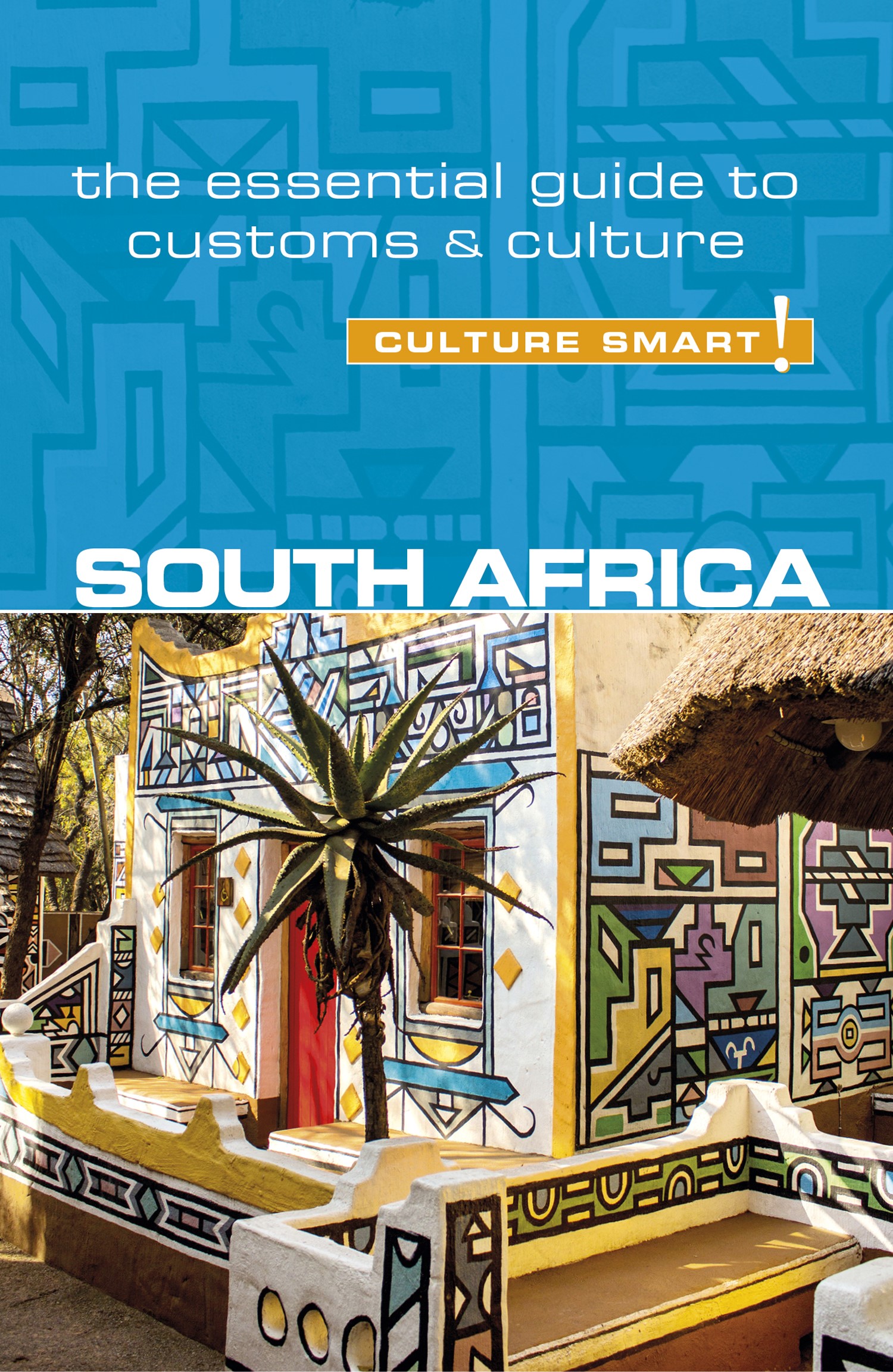
De Cultuur Bewust! gids geeft een overzicht van de belangrijkste culturele informatie van een land, bedoeld voor toeristen en zakenlieden. Afwijkend van de gebruikelijke reisgidsen wordt in deze reeks compacte boeken de lezer bijgespijkerd over omgangsvormen, normen en waarden, hoe zich te gedragen en wat verwacht mag worden op zakelijk en sociaal gebied. Het zijn beknopte, zakformaatgidsen met interessante wetenswaardigheden over het dagelijks leven.
South Africa has been described as “A World in One Country” and a “Rainbow Nation.” Its landscape ranges from miles of glorious beaches to the inland desert of the Karoo, the sweeping grasslands of the Highveld plateau, and the subtropical bush of the Lowveld. Its ethnic makeup is equally varied. There are eleven official languages, nine major black African tribes, two major white tribes, as well as a representation of all the world’s major religions. It has a free market economy while communists share in government; one of the world’s most liberal constitutions and a deeply patriarchal society; and very rich and very poor people coexisting. South Africa has come through fire, and although there is still considerable heat, it is doing pretty well. This insiders’ guide will introduce you to the universal warmth and cultural diversity of its people, explain the backdrop of their troubled past, and familiarize you with their everyday life so that you’ll feel comfortable whether you’re invited to a shack in the townships, a mansion in the suburbs, or a braai on the beach. You’ll learn how to stay safe in potentially dangerous areas, and you’ll know where to go if you want to feel like the only person on the planet.
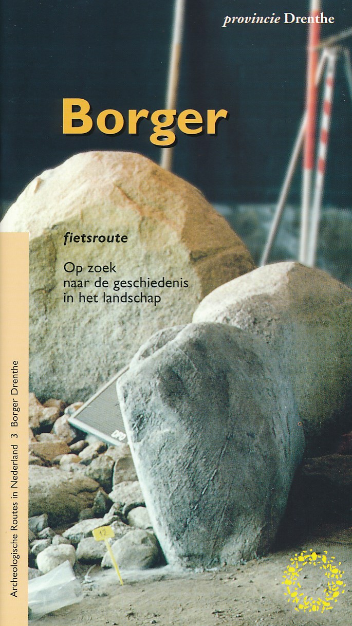
Fietsgidsje met routebeschrijving en uitgebreide informatie over archeologische monumenten en andere punten van cultuurhistorische waarde. Zo krijgt u een indruk van de geschiedenis zoals die in het landschap bewaard is gebleven.
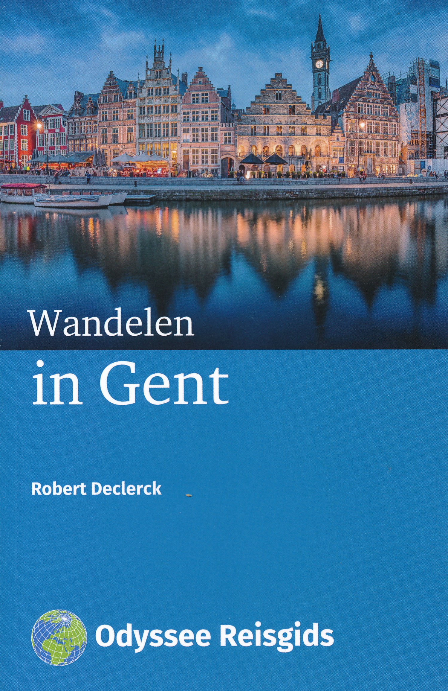
Zes wandelingen door de Gentse binnenstad.
Gent is een bruisende stad die rijk is aan indrukwekkende monumenten,aangename musea, middeleeuwse straten, gezellige pleinen, levendige cafés en uitstekende restaurants. Maar Gent is bovenal de stad van de Leie en de Schelde. De twee rivieren maken een grote boog door de stad voordat ze bij de PortusGanda samenstromen. Gent is ook de stad van de festivals. De Gentse Feesten, een tiendaags cultureel volksfeest met muziek en theater, zijn bekend tot ver over de grenzen.
Pleinen en torens
Drie pleinen − Emile Braunplein, Korenmarkt en St.-Baafsplein − vormen het hart van de stad. Drie torens – St.-Michiels, Belfort en St.- Baafs – domineren het stadssilhouet. Gent is een ideale bestemming voor een lang weekend of meerdaags bezoek. Wie Gent heeft bezocht wil altijd terugkeren om nog meer te ontdekken in deze Vlaamse stad.
Op zoek naar de Rechtvaardige Rechters
Een van ‘s werelds meest vermaarde schilderijen, “De Aanbidding van het Lam Gods” van Jan en Hubert Van Eyck, wordt momenteel gerestaureerd. Twee derde van de panelen van het kunstwerk zijn te bezichtigen op hun oorspronkelijke locatie, de Sint-Baafskathedraal. De overige panelen zijn te bewonderen in het het Museum voor Schone Kunsten (Citadelpark), waar je regelmatig de restaurateurs aan het werk ziet. Nog meer ontdekken? In het Caermersklooster (Vrouwebroersstraat) ontdek je alles over de gebruikte schildertechnieken en de symboliek van dit meesterwerk. Om het helemaal bijzonder te maken kan je net als andere speurneuzen op zoek gaan naar het paneel van de “Rechtvaardige Rechters” dat in 1934 op geheimzinnige wijze gestolen werd.
Wie Gent heeft bezocht wil altijd terugkeren
Heel even, een paar dagen maar, slaapt de stad uit na de Gentse Feesten. Op 10 dagen midden juli tijd zijn er zo’n miljoen bezoekers geweest voor het grootste straatfestival van Europa. De nijvere mensen van de reinigingsdienst, die dagenlang in de weer geweest zijn om 350 ton afval op te ruimen, kijken tevreden naar straten en pleinen die er weer netjes bijliggen.
Gastvrije ontvangst
Het lijkt wel of de stad haar gastvrije armen, die van de Schelde en de Leie, weer opent om bewoners, bezoekers, genieters, shoppers, toeristen … te verwelkomen tussen haar monumenten, stille hoekjes, verborgen plekjes en winkelstraten. Cafés, restaurants, koffiehuizen en ijssalons schakelen weer over naar hun gewone ritme. De overheersende geuren van frieten, mossels, pizza’s en worsten zijn weggeëbd; nu is er weer meer aandacht voor het culinaire en voor klassieke Gentse gerechten als stoverij en waterzooi. Pils, al dan niet uit een plastic bekertje, ruimt baan voor speciale bieren, netjes uitgeschonken in glazen en getooid met een mooie schuimkraag.
Nieuwe ontdekkingen
Robert Declerck: 'Ook al woon ik hier al een paar decennia, er valt nog altijd van alles te ontdekken, naast de grote schat aan historische monumenten en ander fraais. Een prachtige tuin bijvoorbeeld, wanneer je toch maar die open poort binnenstapt. Of een mooie gevel wanneer je ergens om een hoekje gluurt. En kijk eens wat meer omhoog. Bovenaan een trapgevel in een smal straatje doet een bekend figuurtje zijn ding, Al eens gekeken naar de talrijke nissen; helaas soms ook zonder beeld. Of naar de teksten , jaartallen en reliëfs hoog op de gevels in winkelstraten en elders. Stap eens door deur, waarvan weinig mensen weten dat daarachter een andere wereld schuil gaat.'
Stad vol verhalen
Gent is een stad vol verhalen. Sommige zijn overduidelijk in het straatbeeld aanwezig, andere ontdek je achter hoek en kant tijdens wandelingen, nog andere worden gefluisterd door archieven. Ik kijk ernaar uit om er zelf nog meer te ontdekken: op een gezellig terrasje, in een van die heerlijke koffiehuizen, tussen pot en pint in cafés met een eindeloos aantal bieren of gewoon tijdens een toevallige ontmoeting in deze gezellige, gastvrije, kleurrijke en veelzijdige stad.
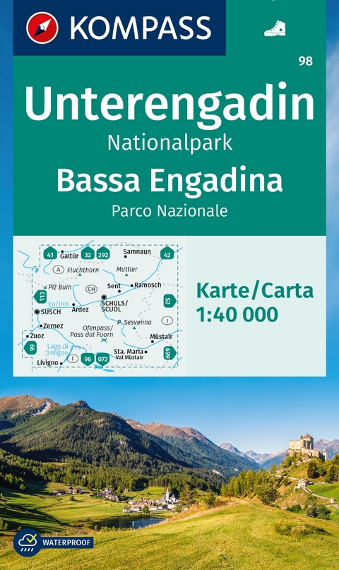
Goede wandelkaart met vrijwel alle topografische details als hoogtelijnen, vegetatie, schaduwtekening maar ook de ingetekende wandelroutes en in veel gevallen ook fietsroutes (MTB). Gevaarlijke routes worden als zodanig weergegeven met een bepaalde markering. Berghutten en campings zijn goed terug te vinden op deze kaarten.
Daarnaast staan de toeristische bezienswaardigheden met symbolen vermeld. Kleurgebruik kan soms vrij fel overkomen, daardoor oogt deze detailkaart wellicht wat druk, maar het blijft een goed leesbare kaart. Sommige kaarten zijn geplastificeerd, maar helaas niet allemaal. De graden staan aan de zijkanten van de kaart, daardoor te gebruiken voor GPS.
Steden/dorpen/gebieden:
Galtür, Samnaun, Sent, Ramosch, Schuls (Scuol), Ardez, Susch, Zernez, Zuoz, Müstair, Sta. Maria, Livigno
Bergen/dalen:
Fluchthorn, Muttler, Piz Buin, P. Sesvenna, Ofenpass (Pass dal Fuorn)
Rivieren/meren:
Lago di Livigno, En (Inn)
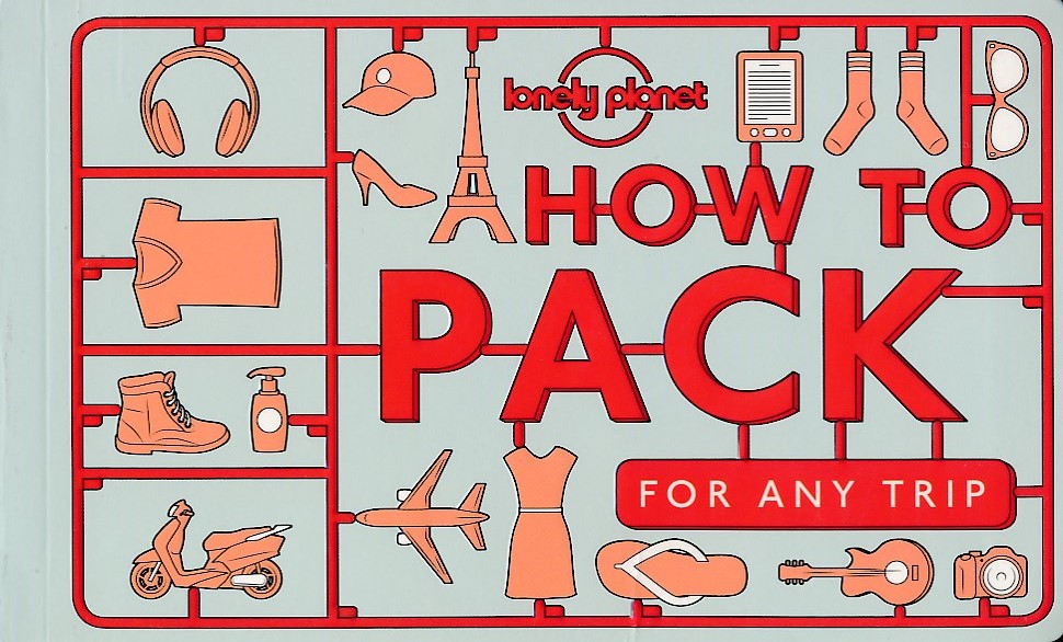
With Lonely Planet’s stylishly illustrated How to Pack for Any Trip, learn to up your packing game. Take the pain out of packing by using our cut-out-and-keep lists. Teach the kids to pack and learn how to edit your own capsule wardrobe. Make your tech work harder by choosing apps that will pack for you.
Find luggage that’s a true soulmate for your travel style that will be in it for the long haul. Even take comfort and inspiration in stories of packing mishaps and luggage pioneers from days gone by.
No matter what type of traveller you are or what kind of trip you’re planning, the various tailored packing lists, tips, techniques and advice in this book will help you unleash the packing pro within and keep your luggage light and organised.
Includes:
comprehensive packing lists
tried-and-tested packing methods
advice for choosing luggage
how-to illustrations
kit ideas for every type of trip

Gedetailleerde kaart. Routes staan duidelijk ingetekend. Ook informatie over fietsenmakers, accommodatie etc. Het is een zeer gedetailleerde fietskaart met fietspaden (verhard en onverhard) en ingetekende fietsroutes, stijgingspercentages en afstanden, toeristische informatie, campings en hotels en straatnamen. GPS geschikt, UTM grid
Diese Radkarte bildet einen großen Teil der Oberlausitz ab, eine Region, die zu etwa 67 % zu Sachsen sowie 30 % zu Polen und 3 % zu Brandenburg gehört. In Sachsen umfasst die Oberlausitz in etwa die Landkreise Görlitz und Bautzen. Im Nordosten des Landes Sachsens liegt die reizvolle Oberlausitzer Heide- und Teichlandschaft, die zu einem Fünftel als Biosphärenreservates ausgewiesen ist. Hier ist die Heimat der Sorben, jener nationalen Minderheit, die als Nachfahren der Milzener bereits seit dem 4. Jahrhundert in der Lausitz leben. Ihre Sprache und Kultur sind bis heute lebendig und Sie begegnen ihnen auf der Tour immer wieder auf vielfältige Weise. Die Landschaft wird geprägt von den zahlreichen Teichgebieten, die im 13./14. Jahrhundert von adeligen Grundherren in sumpfigen Niederungen und Senken angelegt worden sind. Seither gehört die Teichwirtschaft zu den wichtigsten Erwerbszweigen in der Oberlausitz. Eine weitere prägende Landschaft der Oberlausitz ist das Lausitzer Bergland, eine hügelige Mittelgebirgslandschaft, die den Oberlauf der Spree bis südlich von Bautzen begleitet. Hier müssen Sie mit der einen oder anderen Steigung rechnen, werden aber auch mit schönen Ausblicken auf die Landschaft belohnt. So ist die Gegend um den Kottmarwald bergig und waldreich, anmutig schmücken die charakteristischen, schieferverkleideten Umgebindehäuser die verschlafenen Dörfer. In der südwestlichen Kartebereich ist ein Teil des Elbsandsteingebirges enthalten.
Landschaftlich und kulturell gibt es viel zu erleben: entlang der Spree das Oberlausitzer Bergland mit den drei Spreequellen, den markanten Umgebindehäusern und der historischen Stadt Bautzen sowie nördlich der alten Hauptstadt der Oberlausitz die weitläufigen Spree-Talsperren mit ihren langen, weißen Sandstränden. An der deutsch-polnischen Grenze begeistern Zittau und Görlitz jeden Altstadt-Liebhaber. Interessante Städte sind zudem das „Tor zur Oberlausitz“ Bischofswerda, die von Herrnhuter Glaubensbrüdern gegründete Stadt Niesky sowie die Konrad-Zuse-Stadt Hoyerswerda. In Neschwitz erwarten Sie das Barockschloss und der schöne Schlosspark. Sehenswert sind auch die Krabat-Säule in Wittichenau, die an historischem Ort an die bekannteste Sagengestalt des sorbischen Märchengutes erinnert und Rothenburg, die östlichste Kleinstadt Sachsens.
Eine Vielzahl von interessanten Fern- und Regionalradwege bildet das Grundgerüst des in dieser Karte abgebildeten Radwegenetzes. Hervorgehoben seien der Frosch-Radweg, ein 274 Kilometer langer Rundweg, der Ihnen wie kein anderer die Oberlausitzer Heide- und Teichlandschaft näher bringen kann. Auf wunderschön geführten asphaltierten Fahrradwegen und -straßen des Spree-Radwegs können Sie entlang des weitgehend naturbelassenen Flusses durch eine bezaubernde Natur radeln. Die Fahrt entlang des Grenzflusses Lausitzer Neiße auf dem Oder-Neiße-Radweg zwischen Deutschland und Polen bezaubert durch die einzigartige Naturnähe und entpuppt sich als äußerst abwechslungsreich. Auf der Sächsische Städteroute können Sie von Kamenz über Bautzen und Löbau nach Görlitz gelangen.
Mit dieser bikeline®-Radkarte halten Sie eine speziell für Radfahrer entwickelte Landkarte in Händen. Die Karte ist im Maßstab 1:75.000 erstellt, das heißt 1 Zentimeter auf der Karte entspricht 750 Metern in der Natur. Diese Größe des Maßstabes gibt einen guten Überblick über die ausgewählte Region und ermöglicht zudem eine genaue kartografische Darstellung im Detail. Diese Detailtreue ist für eine Radkarte von besonderer Bedeutung, um eine bestmögliche Orientierung im Gelände zu erzielen. Die topografische Grundlage ist sehr übersichtlich gestaltet und in der Farbintensität leicht zurückgenommen. Dadurch wird die Radinformation besonders gut hervorgehoben.
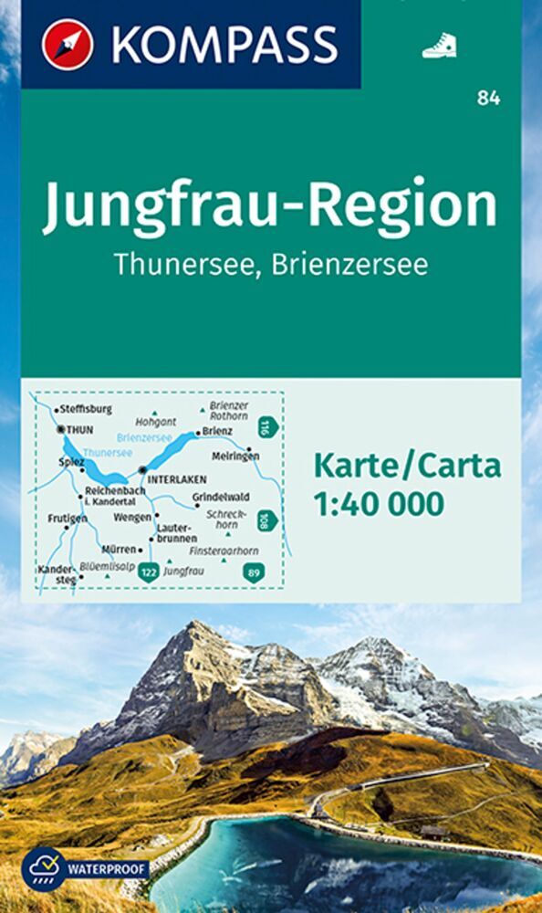
Goede wandelkaart met vrijwel alle topografische details als hoogtelijnen, vegetatie, schaduwtekening maar ook de ingetekende wandelroutes en in veel gevallen ook fietsroutes (MTB). Gevaarlijke routes worden als zodanig weergegeven met een bepaalde markering. Berghutten en campings zijn goed terug te vinden op deze kaarten.
Daarnaast staan de toeristische bezienswaardigheden met symbolen vermeld. Kleurgebruik kan soms vrij fel overkomen, daardoor oogt deze detailkaart wellicht wat druk, maar het blijft een goed leesbare kaart. Sommige kaarten zijn geplastificeerd, maar helaas niet allemaal. De graden staan aan de zijkanten van de kaart, daardoor te gebruiken voor GPS.
Steden/dorpen/gebieden:
Steffisburg, Thun, Brienz, Meiringen, Interlaken, Spiez, Reichenbach, Grindelwald, Wengen, Frutigen, Wengen, Lauterbrunnen, Mürren, Kandersteg
Bergen/dalen:
Hohgant, Brienzer Rothorn, Schreckhorn, Jungfrau, Finsteraarhorn
Rivieren/meren:
Thunersee, Brienzersee