De ‘Rother Wanderbücher’ behandelen telkens de 50 mooiste wandelingen, die variëren van eenvoudige kindvriendelijke wandelingen tot routes die aanzienlijk meer ervaring vereisen. Uitvoerige routebeschrijvingen, een aantrekkelijke lay-out met vele kleurenfoto’s, niets aan duidelijkheid te wensen gelaten hoogteprofielen, kaartjes met de ingetekende route en enige achtergrondinformatie. Het verschil met de rode wandelgidsjes van Rother is dat ze een groter gebied bestrijken: handig voor de één, minder bruikbaar voor de ander.
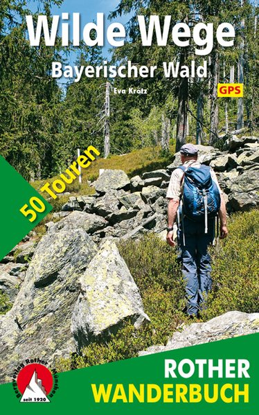
Dichter Wald, grünes Dickicht, Meere aus Steinblöcken – im Bayerischen Wald findet sich ursprüngliche und wilde Natur wie kaum anderswo. Spannend ist es, diese Naturschönheiten abseits der bekannten Pfade zu erkunden, auf Wanderungen, die über Stock und Stein und manchmal sogar weglos durchs Gelände führen. Das Rother Wanderbuch »Wilde Wege Bayerischer Wald« stellt 50 Touren auf wenig begangenen Wegen vor – ein Buch für Entdecker und Naturgenießer!
Alte Jägersteige, Grenzpfade im Dreiländereck Deutschland, Österreich, Tschechien und Wege, die heute keine Wandermarkierung mehr tragen, bescheren ungeahntes Naturerleben. Besonders schön sind alte Wandersteige, die –mal moosig weich, mal felsig – durch die »Urwälder« verlaufen. Spannende Wanderziele sind auch unbekannte Berggipfel, die tolle Aussichten gewähren. Aber auch die »Highlights« des Bayerwaldes, die höchsten Gipfel Arber, Osser, Falkenstein, Rachel, Lusen und Dreisessel, lassen sich auf »wilden« Wegen erklimmen. Viele Wandervorschläge sind kurz und einfach, andere wiederum erfordern Kondition – ein gewisses Maß an Orientierungssinn und Abenteuergeist ist aber bei jeder Tour durchaus gefragt. Natürlich helfen auch die zugehörigen GPS-Daten bei der Orientierung. Diese können von der Internetseite des Rother Bergverlag heruntergeladen werden.
Jeder Tourenvorschlag in diesem Wanderbuch verfügt über bestens recherchierte und zuverlässige Wegbeschreibungen. Hinzu kommen detaillierte Kartenausschnitte mit eingezeichnetem Routenverlauf und aussagekräftige Höhenprofile. Zahlreiche Fotos machen Lust, den Bayerischen Wald auf seinen »wilden Wegen« selbst zu erkunden.