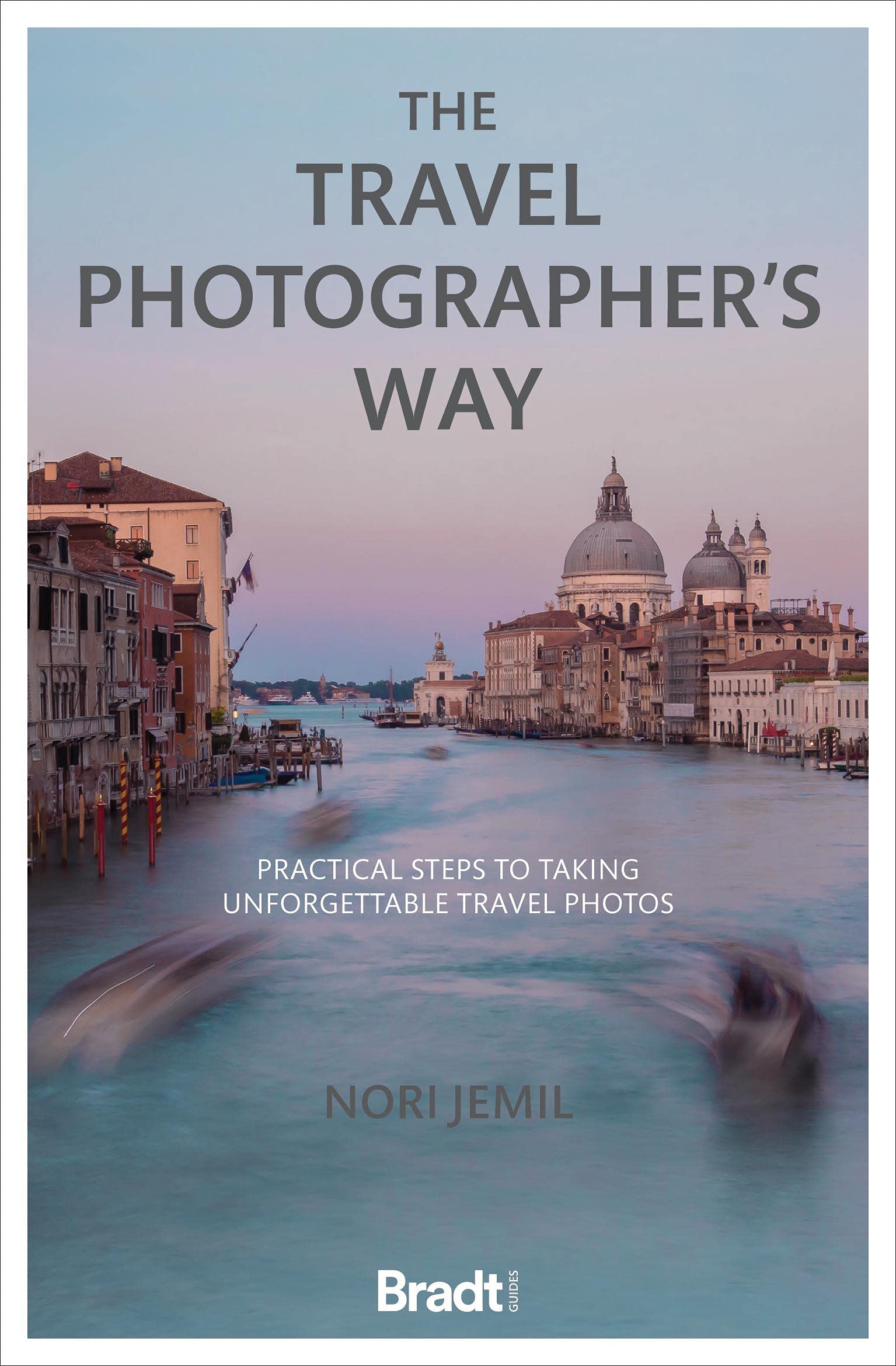
Nori Jemil's ground-breaking practical photography book considers not just how to get better images, but also why and when to take them. It guides you to becoming a more confident and reflective travel photographer, as well as covering all the technical knowhow needed. Taking a journey around the seven continents, each chapter focuses on the main areas of travel imagery, from people and landscape to architecture and adventure.
Bite-size advice on how to get the best from your camera is contextualised throughout the book, so you learn as you go. Travel photography has exploded across the world thanks to the huge leap in quality of both mobile phone cameras and bridge cameras, as well as the ease of public posting on social media. Award-winning travel photographer Nori Jemil has been riding the wave of these advances and has created a 'how to' guide with a difference.
Her book is not an attempt to replicate other reference works on the subject, top-loading technical information and addressing an expert reader. Nor does it focus on gadgetry - the proliferation of new hardware means camera-based information can become obsolete quite quickly. Instead it is a travel companion, a book that can be read for the prose and stories, as well as the information it contains.
It covers the main elements of travel photography in eleven sections, including advice from some of the best travel photographers working around the world. Technical information is embedded, given in the context of each shot, but personal travel stories are at the heart of every chapter, linked to key travel images as well as the full camera settings and detail of how and why each photo was taken. Nori Jemil is an award-winning photographer, writer, teacher and videographer.
Her work has appeared in publications including National Geographic Traveller, BBC Travel, Adventure.com and Conde Nast Traveller. Over the past decade has won numerous awards, including Travel Photograph of the Year from Wanderlust travel magazine, and Travel Photographer of the Year from the British Guild of Travel Writers.
€ 25.95
€ 19.95
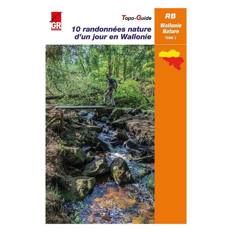
In navolging van deel 1, nodigt nu ook deel 2 van de populaire topogids 10 randonnées nature d’un jour en Wallonie je uit om het plezier van het wandelen te (her)ontdekken.
De routes – die gebruik maken van GR-paden of GR de Pays – nemen je mee op ontdekkingstocht doorheen Waalse landschappen en laten je kennismaken met fauna en flora, erfgoed, geschiedenis en architectuur.
Elke wandeling is voorzien van een kaart en een volledige routebeschrijving. Ook varianten en toeristische en culturele informatie komen aan bod.
Waals-Brabant
1. De mooie witte stenen dorpjes: Jodoigne 20,5 km (van 13 tot 23,1 km)
2. De Hain tussen de twee Braines: Braine-l'Alleud 20,7 km (van 11,5 tot 23,9 km)
Henegouwen
3. In het Parc naturel des Collines: Ellezelles 25,5 km (van 17,9 tot 23,4 km)
4. Tussen de velden en de Sambre: Merbes-le-Château 23,3 km (15,6 km)
Luik
5. In het bijna alpine landschap van de Ourvallei en de streek van de Trois Frontières: Lommersweiler 20,5 km (16,2 of 18 km)
6. Amblèvevallei en hertenbalg: La Gleize 20,4 km (van 13,9 tot 18,2 km)
Luxemburg
7. Langs de Our en de Lesse: Maissin 24 km (14,4 km)
8. In de depressie van het plateau des Tailles: Malempré 23 km (van 12,8 tot 20,9 km)
Namen
9. Dal van de Samson in de Condroz van Namen: Faulx-les-Tombes 25 km (18,4 km)
10. Over de steile hellingen van de Semois: Alle-sur-Semois 20,2 km (15 km)
€ 8.95
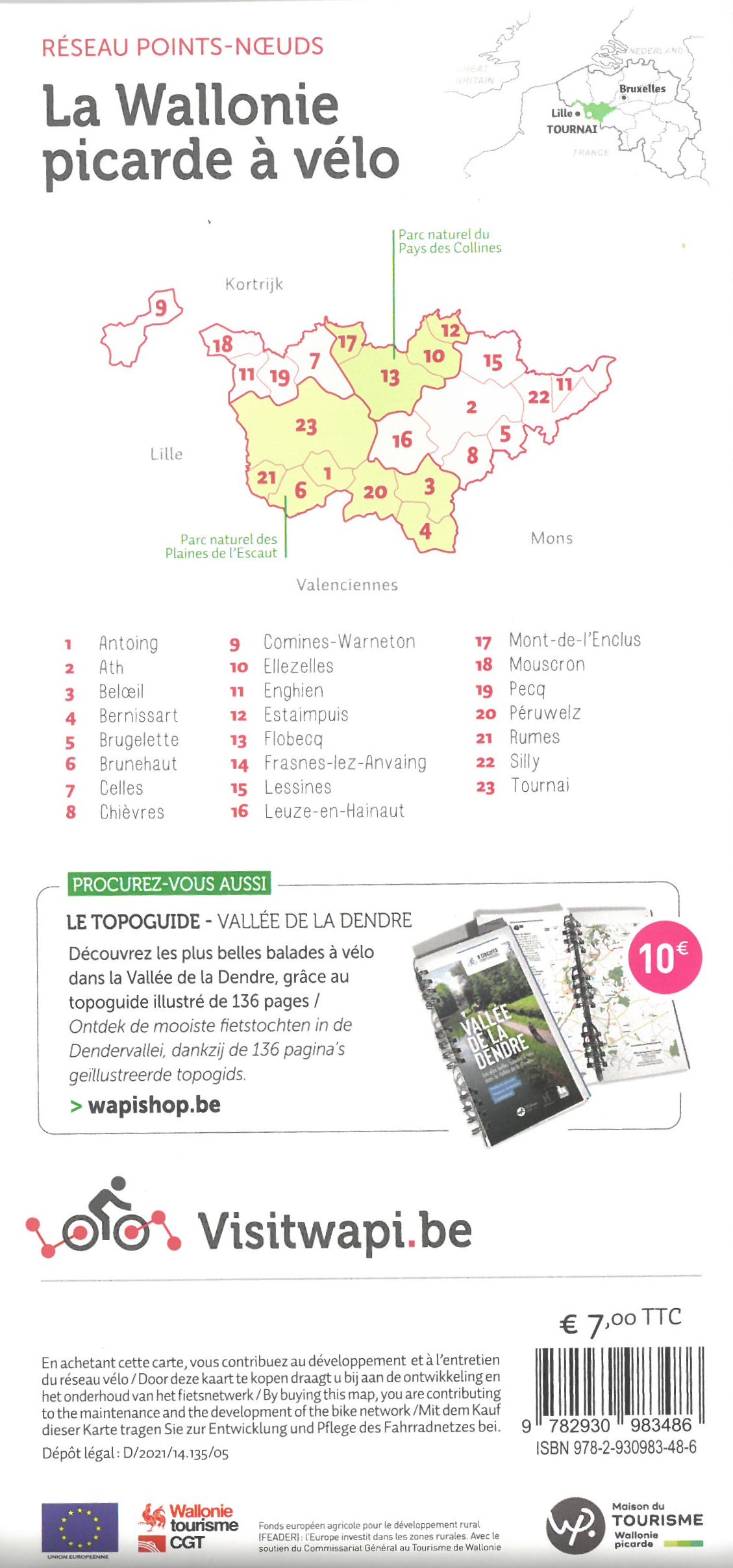
Het fietsknooppuntnetwerk van Picardisch Wallonië kreeg een mooie make-over!
(Her)ontdek het fietsknooppuntennetwerk van 1600 km lang doorheen Picardisch Wallonië. Het netwerk kreeg een update en stelt u de mooiste fietservaringen voor op nog veiligere wegen, nog mooiere landschappen, nieuwe RAVeLs en nieuwe verbindingen tussen de gemeenten en de aangrenzende netwerken.
Maak eindeloze wandelingen door de twee natuurparken, het Natuurpark der Scheldevlakte en Natuurpark van het Pays des Collines en de karaktervolle steden…
Product in vier talen: FR/NL/EN/DE
€ 9.95
Le chemin des Sources, dat is 165 kilometer van fabelachtige ontdekkingen. Op deze gedetailleerde wandelkaart staat de hele route uitgetekend, die het gebied beslaat tussen Verviers en Stavelot. Daarnaast geeft de kaart een aantal opties voor luswandelingen onderweg.
Let op: de getoonde overzichtskaart omlijnt slechts het noordelijke deel van de route, tussen Verviers en Spa. Deze staat weergegeven op één zijde van de kaart. Op de andere zijde staat het zuidelijke deel van de route, tussen Spa en Stavelot - Trois Ponts.
€ 29.99
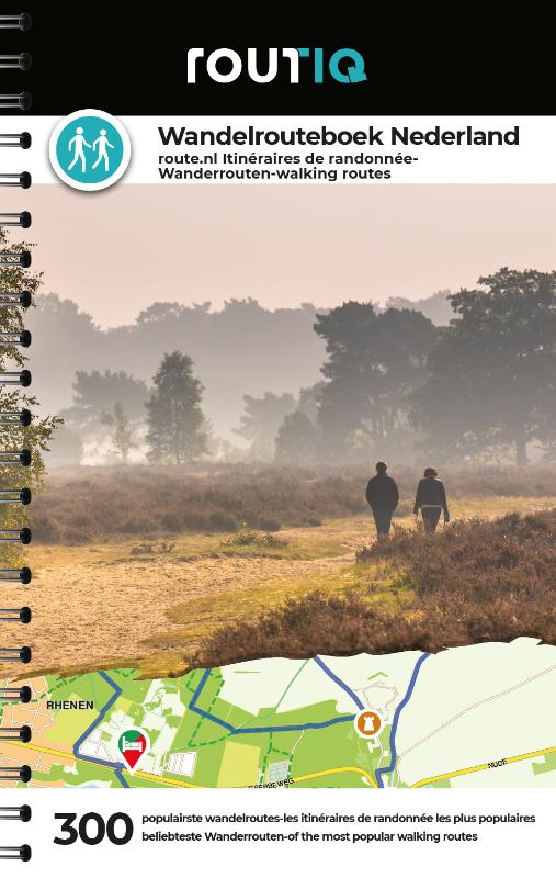
Ga eropuit en ontdek met dit wandelrouteboek de 300 populairste wandelroutes in Nederland. Navigeer eenvoudig m.b.v. knooppunten. Iedere pagina is voorzien van een QR-code zodat je heel gemakkelijk de route kunt openen in de route.nl app om vervolgens de route te kunnen navigeren. Of gebruik de kaart in het boek om de route te volgen. Handzame meeneem uitgave met ringband. De 300 wandelroutes zijn gebundeld met een ringband zodat deze onderweg gemakkelijk te gebruiken is. Ontdek heel Nederland, in alle provincies vind je meerde wandelroutes; Drenthe: 24 Flevoland: 8 Friesland: 18 Gelderland: 43 Groningen: 16 Limburg: 42 Noord-Brabant: 44 Noord-Holland: 20 Overijssel: 40 Utrecht: 22 Zeeland: 13 Zuid-Holland: 17
€ 39.95
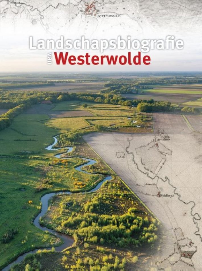
Westerwolde kent een grote variatie aan bijzondere cultuurlandschappen: van het unieke kloosterlandschap van Ter Apel in het zuiden, het nog zeer goed bewaard gebleven esdorpenlandschap langs de Ruiten Aa met zijn oude nederzettingen, essen, heidevelden en beekdalen, de historische verdedigingslinie rond Bourtange en Oudeschans tot aan de weidse veenontginningslandschappen bij Vriescheloo en Bellingwolde. Weinig streken in Noord-Nederland hebben zoveel bijzondere cultuurhistorische relicten en een zo rijk gelaagde geschiedenis met tal van bijzondere historische verhalen.
Door de verschillende grondsoorten heeft Westerwolde een sterk gevarieerde agrarische geschiedenis die tot op heden bepalend is voor het landelijk gebied. Ook de waterstaatkundige geschiedenis van Westerwolde heeft een eigen gezicht. Daarnaast is de streek ook rijk aan allerlei soorten natuur: in de beekdalen van Runde, Ruiten Aa, Mussel Aa en Westerwoldse Aa, in de bossen en heidevelden, maar ook in het boerenlandschap met zijn talrijke houtwallen, singels, akkerflora en bosjes. Juist de in eeuwen gegroeide intensieve verbinding tussen natuur en cultuur maken dit gebied zo belangrijk en veelzijdig.
De 'Landschapsbiografie van Westerwolde' is tegelijkertijd ook een biografie van mensen. Tientallen generaties bewoners, maar ook voorbijgangers en buitenstaanders, hebben het landschap in de loop der eeuwen gemaakt tot dat wat het nu is, en doen dat ook nu en in de toekomst. Om die reden wordt in deze biografie ook veel aandacht besteed aan hun leven, hun drijfveren, hun activiteiten en hun zichtbare sporen in het huidige landschap.
Dit is een wetenschappelijk verantwoord, toegankelijk geschreven verhaal over de ontstaansgeschiedenis, kwaliteiten en toekomstmogelijkheden van het landschap in deze regio. De biografie is rijk geïllustreerd met landschapsfoto's, kaarten en landschapsreconstructies die de verschillende levensfasen van Westerwolde weerspiegelen.
€ 33.50
De 24 zorgvuldig geselecteerde routes in dit boek voeren naar de culturele en andschappelijke hoogtepunten van ons continent. Ontdek de Noordkaaproute in Noorwegen, volg in de voetsporen van de Hanze langs de Oostzee, trek over de Via Appia in Italië, maak een rondreis door Portugal, stuur over beroemde bergpassen in de Alpen of ga op pelgrimstocht naar Santiago de Compostella in Spanje.
Bezienswaardigheden en routes worden in detail beschreven, belangrijke metropolen worden behandeld op aparte pagina’s met stadsplattegronden. Op de routekaarten zijn niet alleen de trajecten te zien, maar worden ook de locaties van bezienswaardigheden getoond. Bovendien worden talloze suggesties gedaan voor interessante, leuke en spannende omwegen.
Meer dan vijfhonderd foto’s illustreren de indrukwekkendste Europese bestemmingen. A4 formaat!
€ 14.50
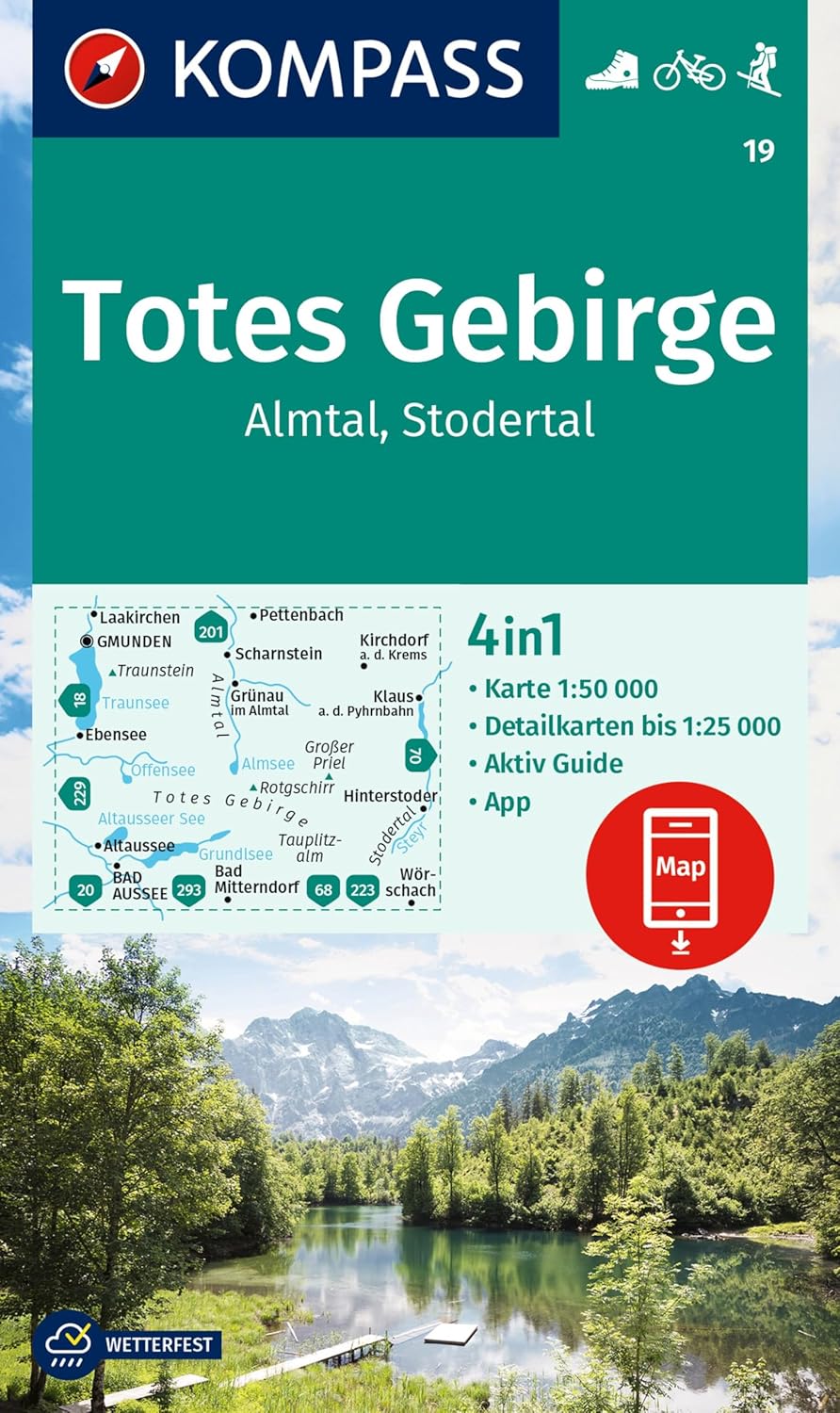
Goede wandelkaart met vrijwel alle topografische details als hoogtelijnen, vegetatie, schaduwtekening maar ook de ingetekende wandelroutes en in veel gevallen ook fietsroutes (MTB). Gevaarlijke routes worden als zodanig weergegeven met een bepaalde markering. Berghutten en campings zijn goed terug te vinden op deze kaarten.
Daarnaast staan de toeristische bezienswaardigheden met symbolen vermeld. Kleurgebruik kan soms vrij fel overkomen, daardoor oogt deze detailkaart wellicht wat druk, maar het blijft een goed leesbare kaart. Sommige kaarten zijn geplastificeerd, maar helaas niet allemaal. De graden staan aan de zijkanten van de kaart, daardoor te gebruiken voor GPS.
Steden/dorpen/gebieden:
Laakirchen, Gmunden, Pettenbach, Scharnstein, Kirchdorf (a. d. Krems), Klaus (a. d. Pyhrnbahn), Hinterstoder, Wörschach, Bad Mitterndorf, Bad Aussee, Altaussee, Ebensee, Grünau (im Almtal)
Bergen/dalen:
Großer Priel
Rivieren/meren:
Traunsee, Almsee, Offensee, Altausseer See, Toplitzsee, Grundlsee, Steyer
€ 7.95
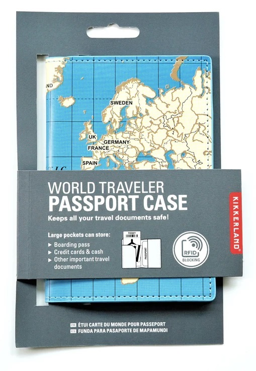
Mooie paspoorthoes, super handig voor op reis. Het is niet alleen heel geschikt voor je paspoort, maar tegelijkertijd kun je er cash, pasjes en je boardingpass in stoppen. Stevig en degelijk materiaal met een mooie print van de wereldkaart. Zelfs met RFID-blokkeringstechnologie.
€ 13.99
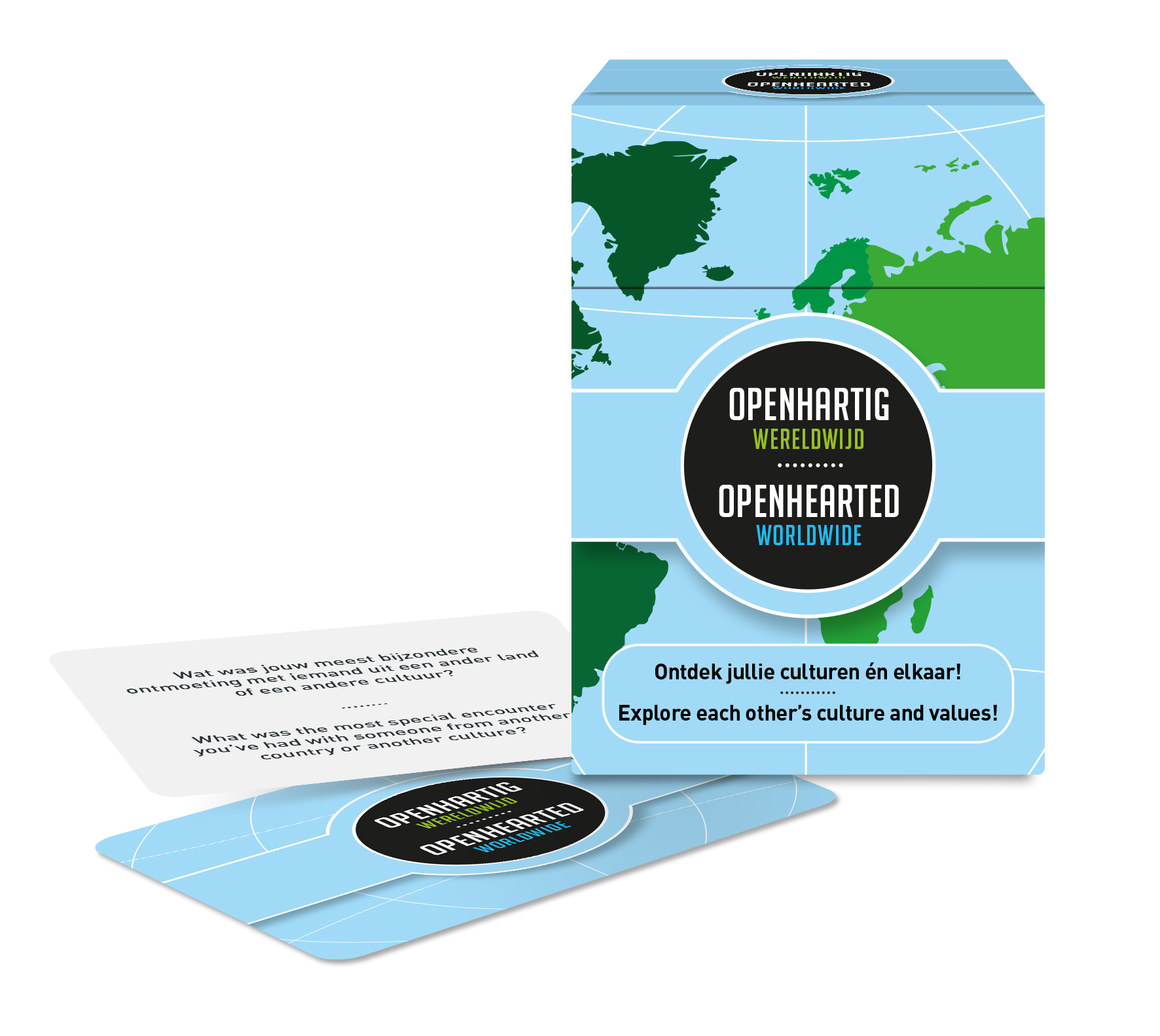
Met veel verschillende mensen delen wij de aarde. Maar hoe goed kennen wij elkaar nou eigenlijk echt? Openhartig Wereldwijd, het nieuwste spel van uitgever Open Up!, vergroot je kijk op culturen en daarmee ook je kijk op elkaar.
Deze editie met meer dan 100 vragen in 2 talen (Nederlands en
Engels), geeft jou en je medespelers nieuwe inzichten en perspectieven, begrip, grenzeloze openhartige gesprekken en bovenal veel plezier! Het biedt de kans elkaars culturele achtergrond én elkaar (nog) beter te leren kennen en te begrijpen. Om de beurt trekken jullie een kaart met een vraag of een opdracht zoals:
• Hoe ervaar je het land waar je nu bent én waar voel jij je echt thuis?
• Wat vind jij van de humor in het land waar jij nu bent?
• Is er sprake van vrijheid van meningsuiting in jouw land?
Hoe ervaar jij dit?
• Waar liggen jouw ‘roots’? En ‘wat’ daarvan draag jij nog
altijd bij je?
• Wat vind jij typische muziek uit jouw cultuur? Laat jouw medespelers hier iets van horen!
Speel Openhartig Wereldwijd en laat je verrassen én inspireren door jullie verschillende culturele achtergronden. Kennis over elkaars culturen zorgt er ook voor dat jullie elkaar beter begrijpen.
Dit spel is uitstekend geschikt als kennismakingsspel voor mensen met andere nationaliteiten of culturen, om mee te nemen op reis of om je buitenlandse collega’s of studiegenoten (nog) beter te leren kennen. Daarnaast blijft het ook verrassend leuk om dit spel te spelen met mensen uit je eigen cultuur. Iedereen beleeft een cultuur immers ook op een eigen manier, afhankelijk van bijvoorbeeld achtergrond of persoonlijke ervaringen.
--
We share the earth with lots of different people. But how well do we know each other? Where are your and the other person's roots? How do you feel about the country where you are now, and where do you really feel at home? This eition - with over 100 questions - offers you the chance to get to know each other and better understand each other's cultural background.

