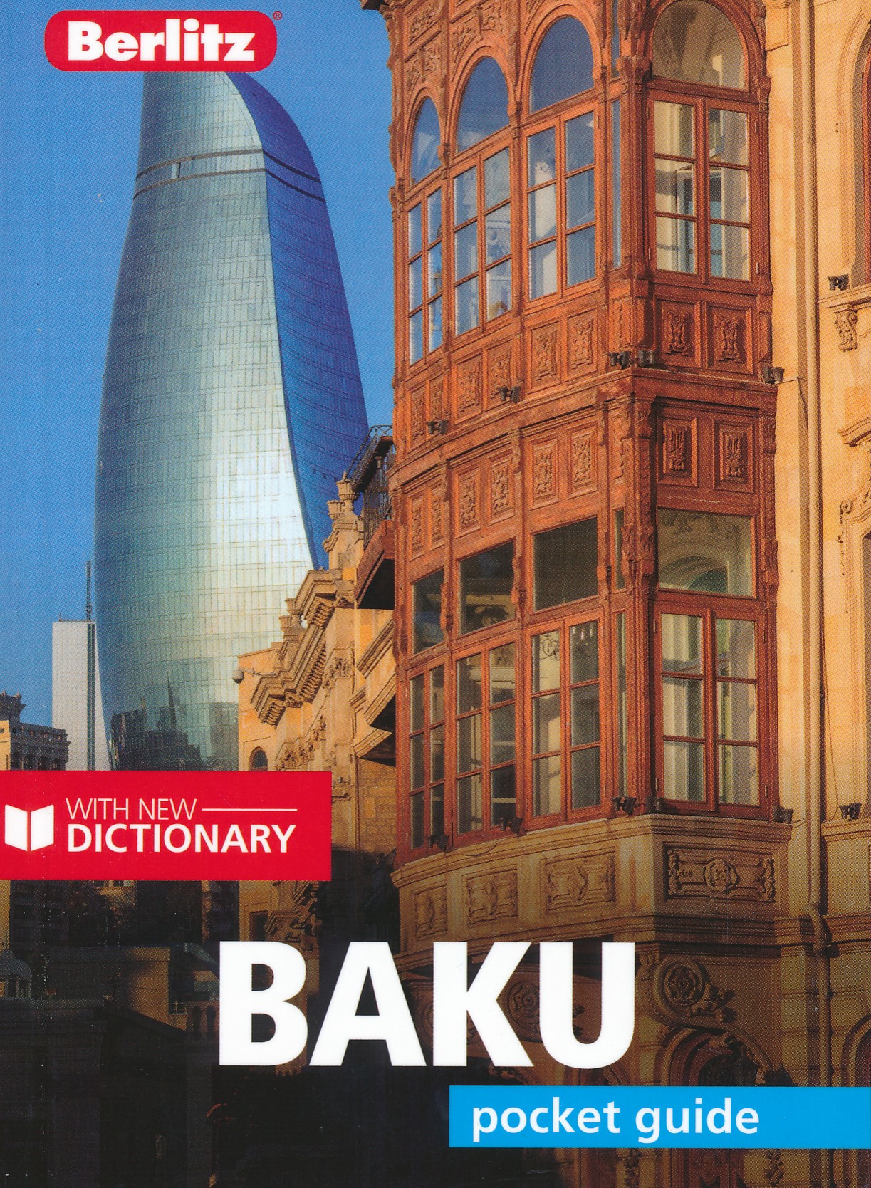
Berlitz Pocket Guide BakuThe world-renowned pocket travel guide by Berlitz, now with a free bilingual dictionary. Part of our UEFA Euro 2020 guidebook series. If you're planning to visit Olympic Stadium in Baku to watch Euro 2020 matches, then this pocket guidebook provides all the information you need to make the most of your trip, from ready-made itineraries to help you explore the city when you're not at the game, to essential advice about getting around. Compact, concise and packed full of essential information about where to go and what to do, this is an ideal on-the-move guide for exploring Baku.
From top tourist attractions like the Flame Towers, the Maiden Tower and the Palace of the Shirvanshahs, to cultural gems, including the ornate Old City, the burning Yanar Dag and shopping on Nizami Street, plan your perfect trip with this practical, all-in-one travel guide.
Features of this travel guide to Baku- Inspirational itineraries: discover the best destinations, sights and excursions, highlighted with stunning photography- Historical and cultural insights: delve into the city's rich history and culture, and learn all about its people, art and traditions- Practical full-colour map: with every major sight and listing highlighted, the full-colour maps make on-the-ground navigation easy- Key tips and essential information: from transport to tipping, we've got you covered- Dictionary: quick-reference bilingual language guide to help you with vocabulary - Covers: Baku and excursions in Azerbaijan About Berlitz: Berlitz draws on years of travel and language expertise to bring you a wide range of travel and language products, including travel guides, maps, phrase books, language-learning courses, dictionaries and kids' language products.
€ 10.95
€ 35.50
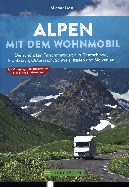
Prachtige voorbereidingsgids van Bruckmann over camperroutes in Duitsland, Frankrijk, Oostenrijk, Zwitserland, Italie en Slovenië. Naast veel illustraties ook een behoorlijke hoeveelheid praktische informatie met kaarten.
Spektakuläre Pässe und Panoramen
Auf individuellen Touren führt unser Wohnmobilexperte Sie durch die Alpen. Die Detailkarte zu jeder Tour hilft bei der Orientierung, Streckenleisten und Straßenatlas im Anhang zeigen detailliert die Route zum Nachfahren. Stell- und Campingplätze sind am Ende jeder Tour ausführlich und mit GPS-Koordinaten beschrieben und im Straßenatlas verzeichnet. Über die Deutsche Alpenstraße und vom Bodensee durch Vorarlberg und Südtirol. Durch die Schweiz und über spektakuläre Pässe in Österreich und Frankreich. Dieser Camping Reiseführer bietet einzigartige Panoramatouren und Ausblicke, berühmte Bauten und echte Geheimtipps. Und zu jeder Attraktion die geeigneten Stellplätze für das Wohnmobil (inkl. GPS-Koordinaten) sowie Tourenkarten, Streckenverläufe und ein übersichtlicher Kartenatlas. Der unentbehrliche Tourenbegleiter durch die Alpen.
Die 15 schönsten Touren - ausgewählt von Wohnmobilexperten für einen perfekten Camping Urlaub in den AlpenDer ideale Camper Guide mit Infos zu Stell- und Campingplätzen mit GPS-KoordinatenMit Übersichtskarten, Streckenleisten und Kartenatlas
€ 17.95
Gent kent vele verborgen schatten. Ontdek de Blauwe Vogels van Maeterlinck, neuzekes in de mooiste snoepwinkel van België en het ‘cycling-café’ met wielerverhalen op z’n best. Proef frieten uit Filips’ penshuisje, streekbieren in de Trollekelder en onderga de stilte in de wijngaard bij de Sint-Pietersabdij. Bezoek de grot van Lourdes in Oostakker, geniet van een intiem pleintje bij de schilderachtige Leie en ontspan in Blaarmeersen of Bourgoyen. Robert Declerck en Dirk Heyndrickx wijzen de weg naar 111 bijzondere en onvermoede plekken. Ze bieden de beste insidertips en tonen Gent op haar veelzijdigst.
€ 16.95
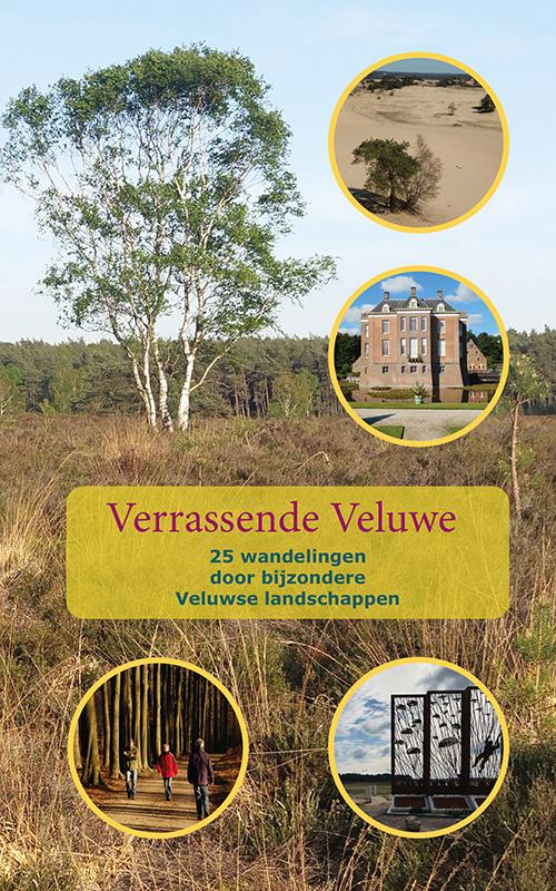
Goed uitgevoerde wandelgids, waarbij 25 mooie wandeltochten verspreid over de hele Veluwe worden weergegeven. Kaartmateriaal is heel goed (topografisch) waarop de route is ingetekend: je loopt echt op de kaart, een gedetailleerde beschrijving van de route vind je niet terug in het boek. Maar de kaart is echt voldoende!
De wandelingen zijn tussen de 7 en 15 kilometer.
De Veluwe behoort tot de top van toeristische trekpleisters in Nederland. Veel mensen kennen dit grootste natuurgebied van Nederland als het gebied met veel bos en hei. De Veluwe is echter meer dan dat. Wie er oog voor heeft, ontdekt landschappen gevormd in ijstijden en sporen van vroege bewoners van Nederland. Je ontdekt industriëel erfgoed en prachtige kastelen en landgoederen. Maar ook plekken die herinneren aan jarenlang militair gebruik, evenals nieuwe elementen zoals ecoducten en gebieden die teruggegeven zijn aan de natuur. Deze wandelgids leidt je in 25 wandelingen langs verschillende Veluwse landschappen. Je wandelt daarmee door bijzondere landschappen die duidelijk maken dat de Veluwe voor iedereen nog veel verrassingen biedt.
€ 11.99
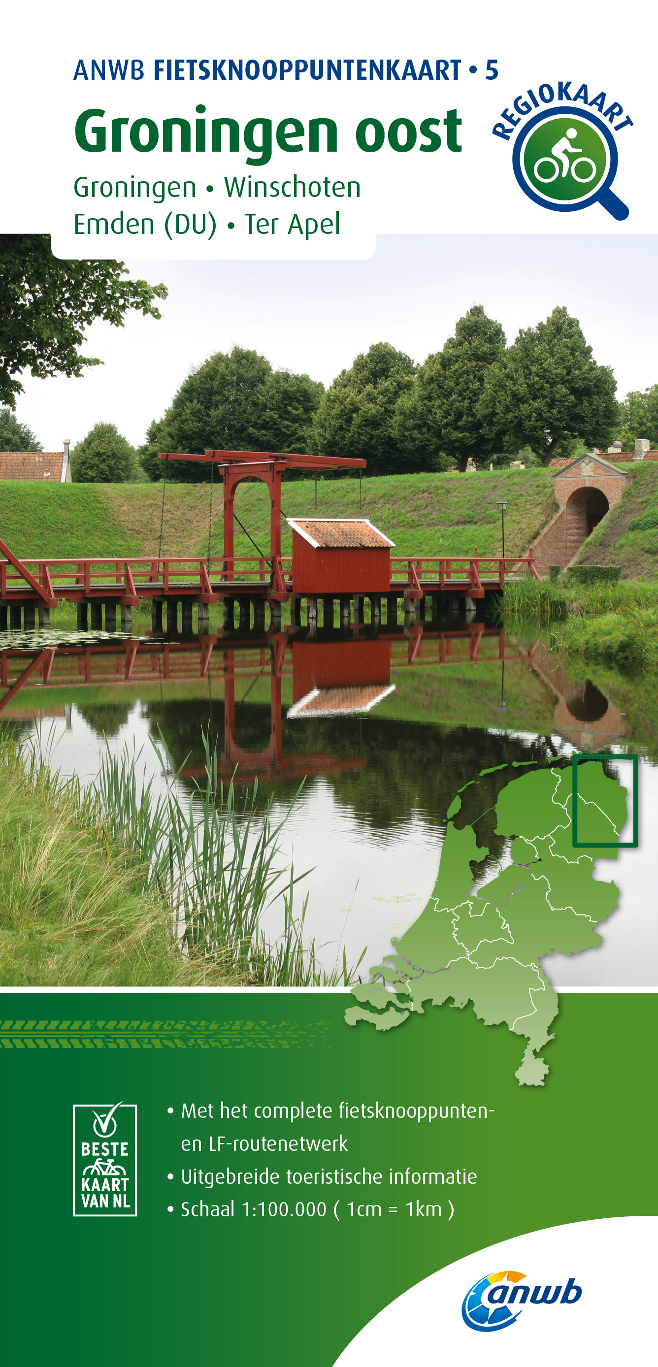
Handige fietskaart van een deel van Nederland waarbij de nadruk ligt op het volgen van de fietsknooppunten. Als je niet goed bent in kaartlezen of gewoon lekker makkelijk de nummers wilt volgen is dit een ideaal middel om de omgeving te ontdekken. Ook voor langere tochten kan het handig zijn. Alle benodigde praktische informatie staat er op. Bedenk wel dat door de wat minder gedetaileerde schaal deze kaart niet geschikt is om allerlei kleine fietspaden te vinden, soms staan ze er niet op. Daarvoor is de andere fietskaartenserie van de ANWB, de regio fietskaart met een meer gedetailleerde schaal beter geschikt.
Stippel je eigen fietsroute over de Waddeneilanden uit met de ANWB fietsknooppuntenkaart. Geniet van het Nederlandse landschap en plan een route door onze Nationale Parken, fiets langs water en over dijken, door polders en weidelandschappen en pauzeer onderweg op een gezellig terras. Met de vernieuwde knooppuntenkaart kies je je eigen fietsroute. De kaart bevat alle LF-routes (Landelijke Fietsroutes), toeristische informatie, musea, horeca en een duidelijke legenda. In totaal zijn er 28 ANWB Fietsknooppuntenkaarten.
€ 26.95
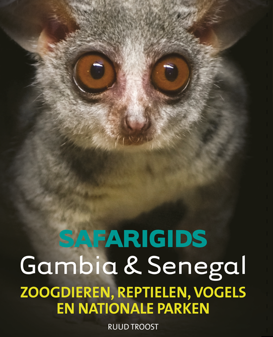
Prachtig vormgegeven natuurgids - reisgids over Gambia en Senegal. Deze safarigids geeft goede beschrijvingen van de meeste soorten, duidelijke illustraties, verspreidingskaarten en praktische informatie.
Reisgids voor fauna in Gambia & Senegal. Een bezoek aan Gambia of Senegal is in velerlei opzicht interessant,
ook als u er slechts een paar dagen op uit trekt. Het achterland van beide landen is fascinerend. Er zijn drie klimaatzones, de Sahara in het noorden, de Sahel daaronder en tenslotte de tropische wouden in het zuiden. De dierenwereld is daardoor erg gevarieerd, zo kunt u op slechts enkele kilometers van uw strandhotel al de West-Afrikaanse krokodil, de sitatoenga en bosbok opzoeken. Verder weg in het zuidoosten van Senegal leven onder andere olifanten, leeuwen en luipaarden. Deze twee landen zijn een paradijs voor vogelaars. Alleen al in de tuinen
van de hotels is het geen uitzondering dat u er elke dag weer nieuwe soorten aantreft. Wilt u weten hoe al deze dieren heten, dan biedt dit boek daarin uitkomst.
€ 11.99
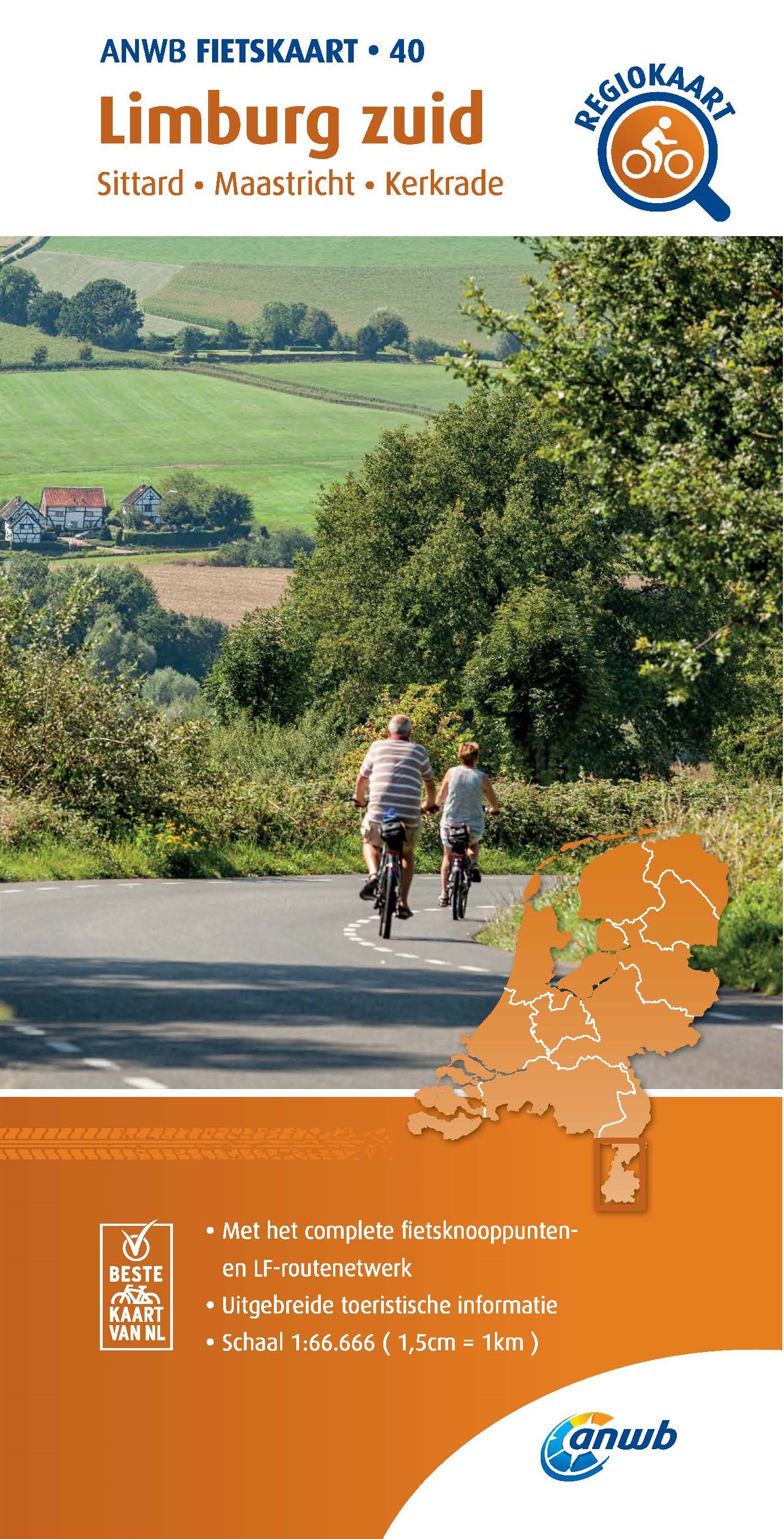
Met een bijzondere schaal van 1:66.666 heeft de ANWB haar fietskaarten vernieuwd: voor het hele land zijn nu maar lieft 40 kaarten beschikbaar. Naast de fietsknooppunten zijn ook bijna alle andere fietspaden er op terug te vinden, alsmede de LF routes die duidelijk zijn ingetekend. Met oa. horeca en campings is het een zeer complete kaart geworden die ook behoorlijk goedmis in leesbaarheid en kleurgebruik: heldere prettig ogende kaarten!
De populaire serie ANWB Fietskaarten is vernieuwd. Deze opvouwbare fietskaarten zijn ideaal voor wie meer wil dan alleen op knooppunten fietsen. Op de papieren routekaart staan veel details: fietspaden, fietsknooppunten, horeca, musea, campings, pontjes, LF-routes (Landelijke Fietsroutes), fietsverhuur en toeristische informatie. De kaart fungeert als handige routeplanner en heeft een schaal van 1:66.666. In totaal zijn er 40 ANWB Fietskaarten, van de Wadden tot Maastricht en van Den Haag tot de Achterhoek. Plan je fietsroute door Nederland voortaan met overzichtelijke ANWB Fietskaarten!
€ 19.95
Fantastische kaart van een belangrijk wandelgebied van Zweden. Zeer goed leesbaar, ondanks de 100.000 schaal perfect voor trekkers door het glooiende landschap. Hutten, campsites, noodtelefoons, bruggen, wandelroutes, topografische details met bijv. hoogtelijnen en grid indeling dus bruikbaar voor GPS.
Fjällkartan scale of 1: 100000 covering 25 map sheets and covers the mountain area from Salen in the south to the boundary mark of the north. All map sheets have a back which you will find information about mountain safety, mountain weather, conservation and GPS use. you will also find information about national parks, nature reserves and proposals for suitable tours. the map is printed on a latex-impregnated paper.
€ 23.95
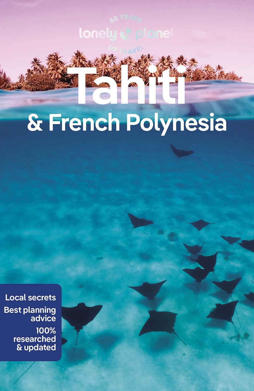
De perfecte reisgids van Tahiti en Frans Polynesië, voor zowel de georganiseerde als de zelfstandige reiziger. Naast een algemene inleiding van het land / streek vol met praktische informatie over hoe je er het beste kunt reizen: slapen, eten, vervoer, excursies ... alles kun je er in vinden. Engelstalig. Lonely Planet
Sculpted by sky-piercing, moss-green peaks and lined with vivid turquoise lagoons, sultry French Polynesia is a place to take it slow and experience warm, laid-back island culture. Lonely Planet will get you to the heart of Tahiti & French Polynesia, with amazing travel experiences and the best planning advice.
Lonely Planet Tahiti & French Polynesia is your passport to the most relevant, up-to-date advice on what to see and skip, and what hidden discoveries await you. Swim in the sparklingly clear waters, hike to waterfalls, dive into coral wonderlands, then sips cocktail by the beach; all with your trusted travel companion. Get to the heart of Tahiti & French Polynesia and begin your journey now!
Inside Lonely Planet Tahiti & French Polynesia:
Colour maps and images throughout
Highlights and itineraries help you tailor your trip to your personal needs and interests
Insider tips to save time and money and get around like a local, avoiding crowds and trouble spots
Essential info at your fingertips - hours of operation, phone numbers, websites, transit tips, prices
Honest reviews for all budgets - eating, sleeping, sight-seeing, going out, shopping, hidden gems that most guidebooks miss
Cultural insights give you a richer, more rewarding travel experience – history, environment, islander life, arts, religion, sports, etiquette, popular culture, literature, cinema, food, drinks, dining out.
Over 30 maps
Covers: Tahiti, Mo'orea, Huahine, Ra'iatea & Taha'a, Bora Bora, Maupiti, The Tuamotus, The Marquesas, The Australs & the Gambier Archipelago and more

