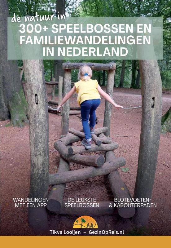
Prachtige, heel goed leesbare fietskaart van Vlaanderen met alle LF routes en knooppunten. Duits en Nederlands. Als je een langere - meerdaagse - tocht gaat maken in België is dit echt een heel goede kaart: een absolute aanrader. De kaart van Vlaanderen loopt tot aan de lijn Maasstricht - Lille - Boulogne sur Mer, deze plaatsen staan er aan de onderzijde nog net op.
Speciaal voor fietsers gemaakte kaart, waarbij juist de autowegen minder duidelijk te lezen zijn, maar waar de fietspaden gekleurd staan weergegeven. De kleur varieert naarmate de weg beter als fietsroute geschikt is. Lange afstands fietsroutes staan ingetekend, alsmede fietsenmakers, campings en interessante toeristische bezienswaardigheden.
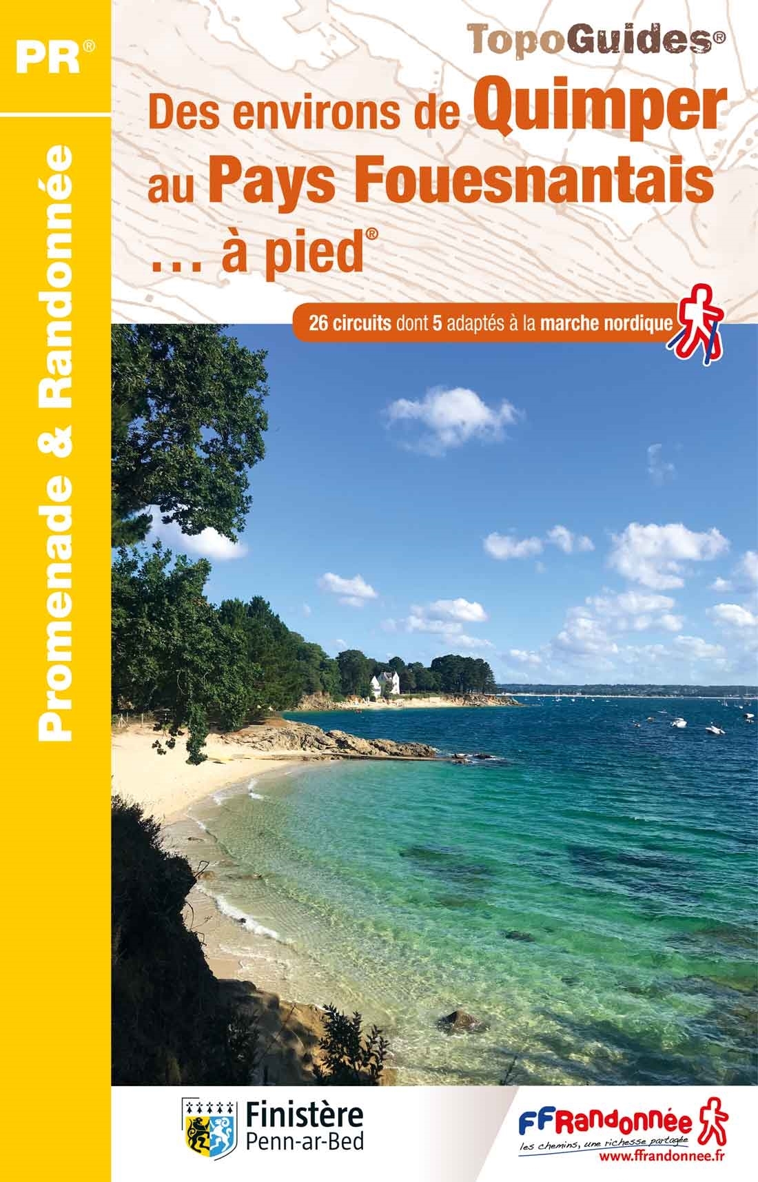
Informatie van de uitgever
komplett überarbeitete Neuauflage mit neuer Kartographie!
Offizielle Karte des ADFC Allgemeiner Deutscher Fahrrad-Club e.V. - die ideale Karte für Planung und Durchführung von großen Radtouren. Auf einem großen Gebiet von 130 x 160 Kilometern findet sich alles, was Radler brauchen – Routen, Sehenswürdigkeiten, Freizeitinformationen und vieles mehr. Optimale Orientierung * übersichtlich gestaltet * einfach zu handhaben * alle Radfernwege und regionale Radtouren * Anschlusskarten für ganz Deutschland und viele Nachbarländer * wetterfestes und reißfestes Papier * zusätzliche kostenfreie Online-Angebote: Download der gpx-Tracks der beschilderten Radrouten auf unserer website oder in unserer ADFC-Karten-App.