Main navigation
Home
Caravans
Kampeershop
Alle artikelen
Barbecueën
Caravanartikelen
Chemische toiletten
Kampeerartikelen
Koken & servies
Tenten
Voortenten & luifels
Zaklampen
Deken slaapzakken
Tenten
Campings
Campings in België
Campings in Denemarken
Campings in Duitsland
Campings in Frankrijk
Campings in Griekenland
Campings in Italië
Campings in Kroatië
Campings in Luxemburg
Campings in Nederland
Campings in Noorwegen
Campings in Portugal
Campings in Slovenie
Campings in Spanje
Campings in Tsjechië
Campings in Zweden
Camping toevoegen
Bedrijven
Caravanbedrijven en dealers
Samenwerken?
Caravanbedrijf toevoegen
Camping toevoegen
Contact
Nieuws & tips
+ Verkopen
+ Inloggen
+ Registreer
Zoeken
Kruimelpad
Home
Camping Callassande
4
Allcamps
Camping Callassande
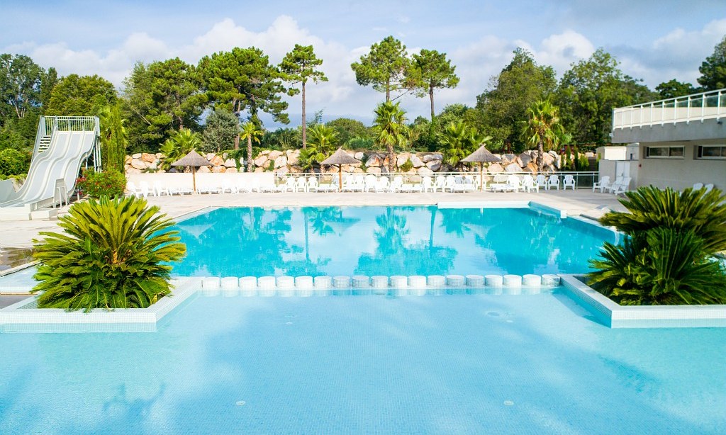
Camping Les Grottes De Roffy
4
Allcamps
Camping Les Grottes De Roffy
Camping Le Chateau de Galaure
4
Allcamps
Camping Le Chateau de Galaure
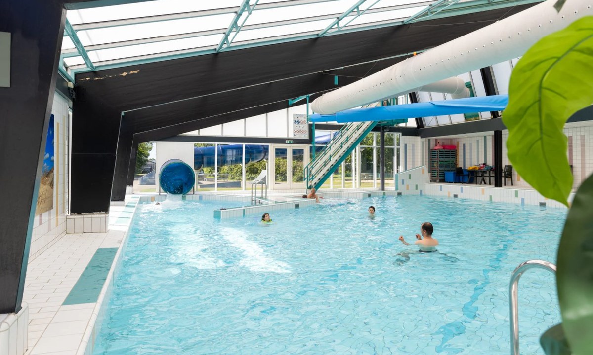
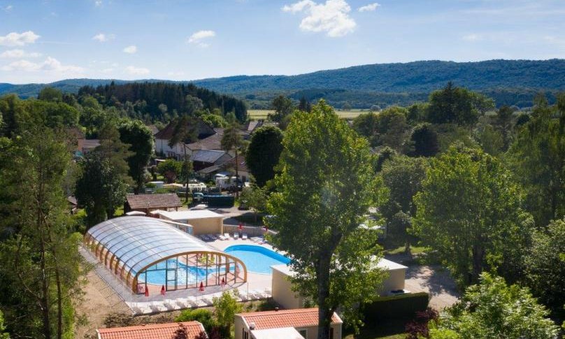
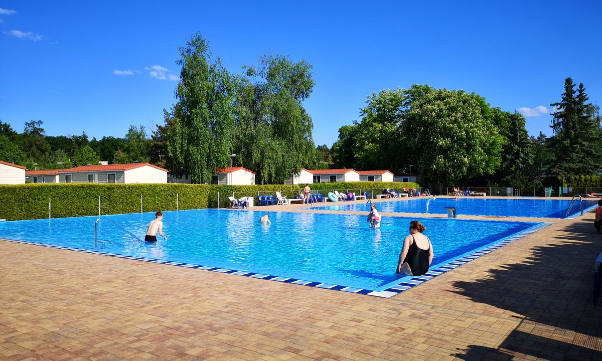
Europarcs Gulperberg
4
Allcamps
Europarcs Gulperberg
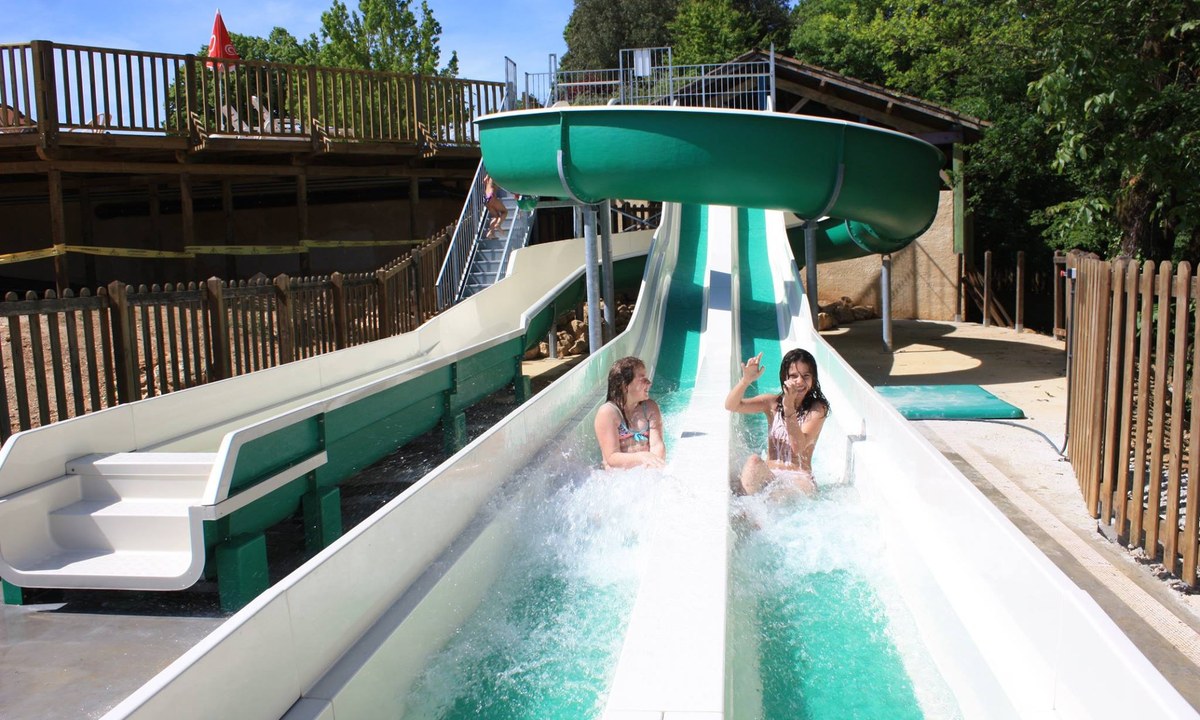
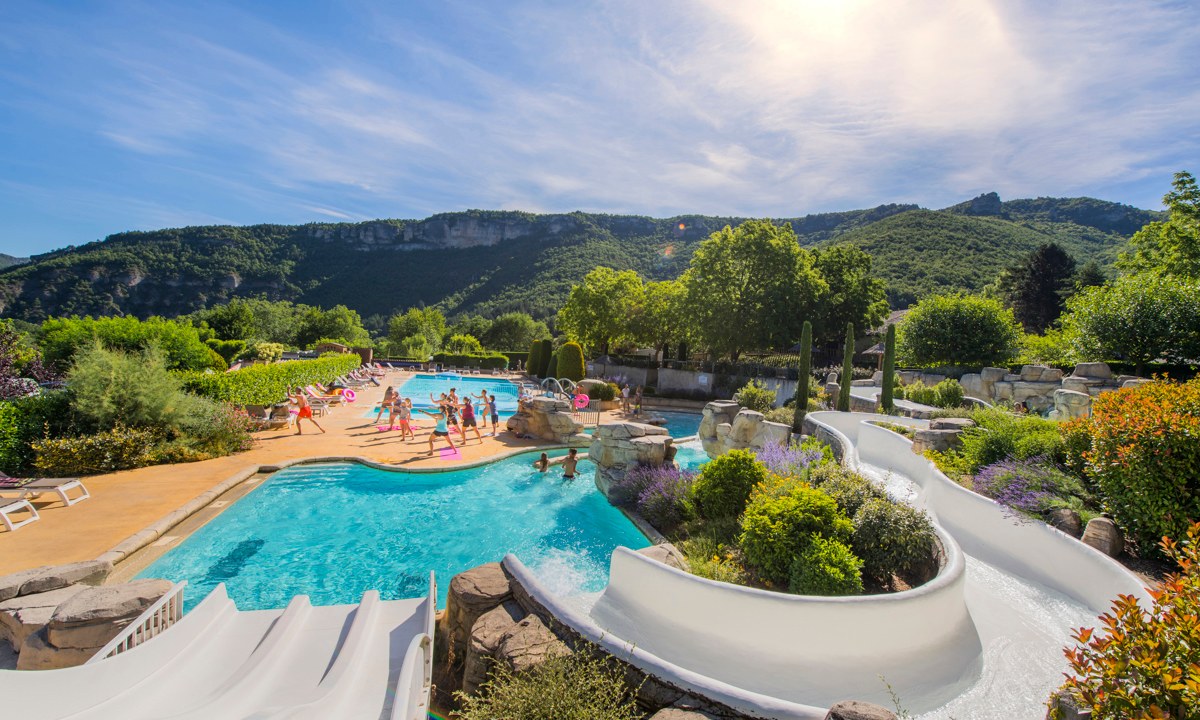
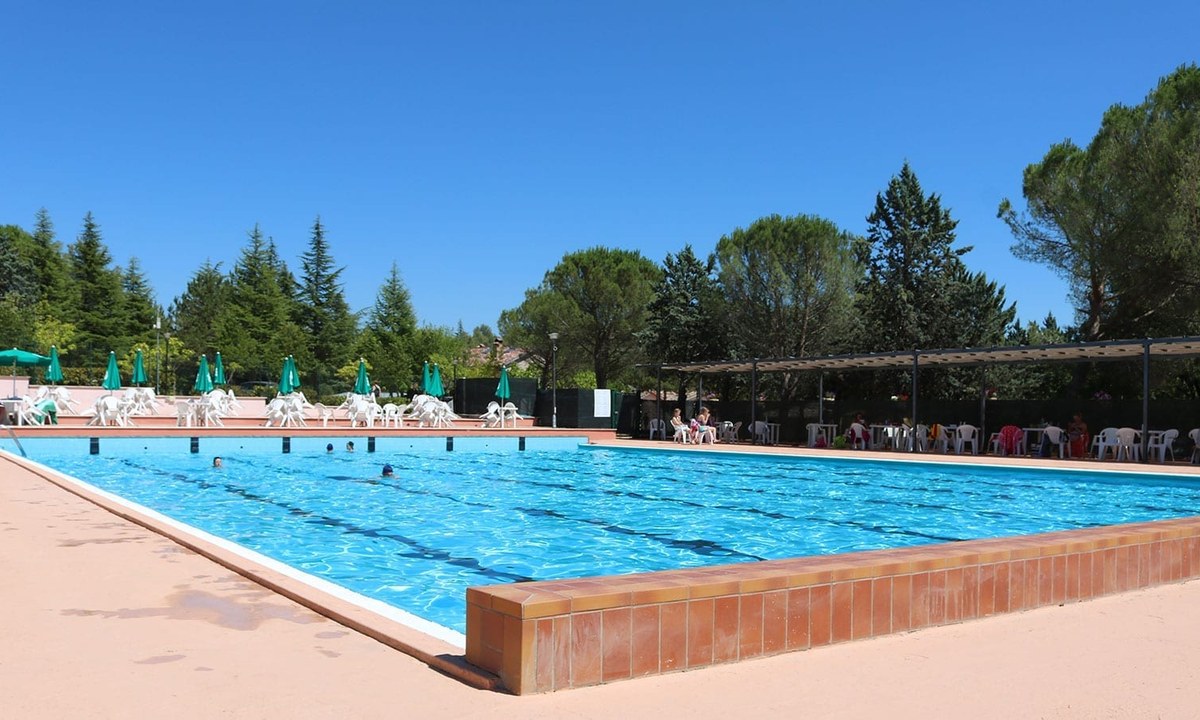
Camping Val de Cantobre
4
Allcamps
Camping Val de Cantobre
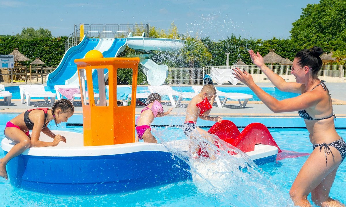
Camping Les Pins
4
Allcamps
Camping Les Pins
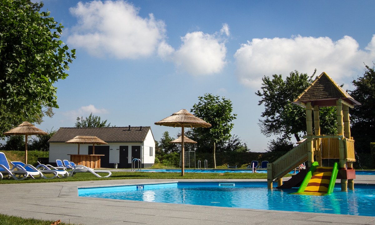
Camping Princes d'Orange
4
Allcamps
Camping Princes d'Orange
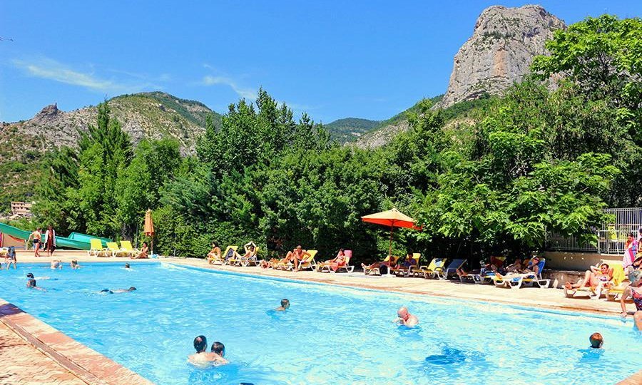
Camping Les Pecheurs (Jura)
3
Allcamps
Camping Les Pecheurs (Jura)
Camping Klanovice Praha
4
Allcamps
Camping Klanovice Praha
Camping Pian di Boccio
3
Allcamps
Camping Pian di Boccio
Paginering
Eerste pagina
« Eerste
Vorige pagina
‹ Vorige
…
Pagina
2573
Pagina
2574
Pagina
2575
Pagina
2576
Huidige pagina
2577
Pagina
2578
Pagina
2579
Pagina
2580
Pagina
2581
…
Volgende pagina
Volgende ›
Laatste pagina
Laatste »
Abonneer op