Main navigation
Home
Caravans
Kampeershop
Alle artikelen
Barbecueën
Caravanartikelen
Chemische toiletten
Kampeerartikelen
Koken & servies
Tenten
Voortenten & luifels
Zaklampen
Deken slaapzakken
Tenten
Campings
Campings in België
Campings in Denemarken
Campings in Duitsland
Campings in Frankrijk
Campings in Griekenland
Campings in Italië
Campings in Kroatië
Campings in Luxemburg
Campings in Nederland
Campings in Noorwegen
Campings in Portugal
Campings in Slovenie
Campings in Spanje
Campings in Tsjechië
Campings in Zweden
Camping toevoegen
Bedrijven
Caravanbedrijven en dealers
Samenwerken?
Caravanbedrijf toevoegen
Camping toevoegen
Contact
Nieuws & tips
+ Verkopen
+ Inloggen
+ Registreer
Zoeken
Kruimelpad
Home
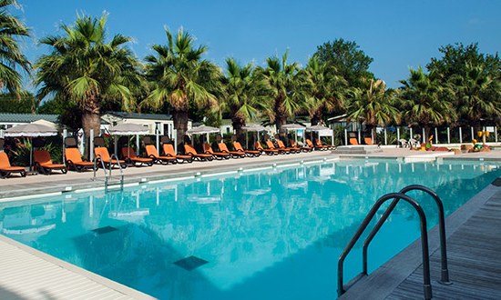
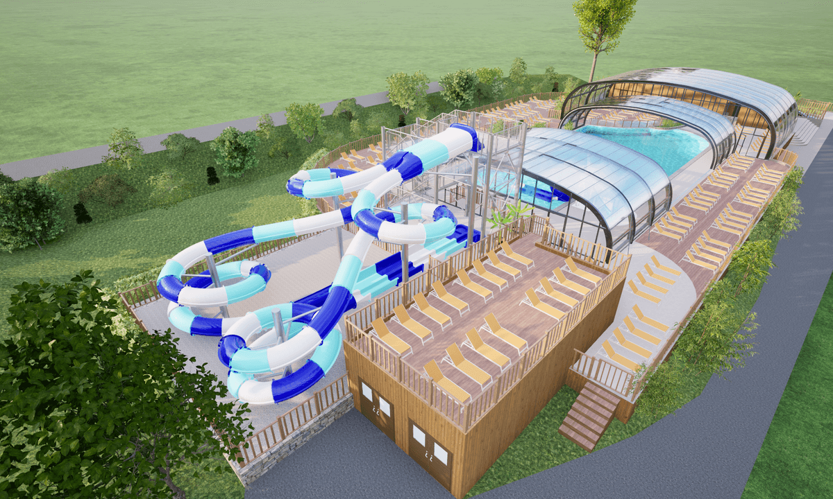
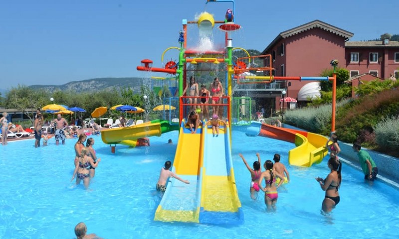
Camping Holiday Marina Resort
5
Allcamps
Camping Holiday Marina Resort
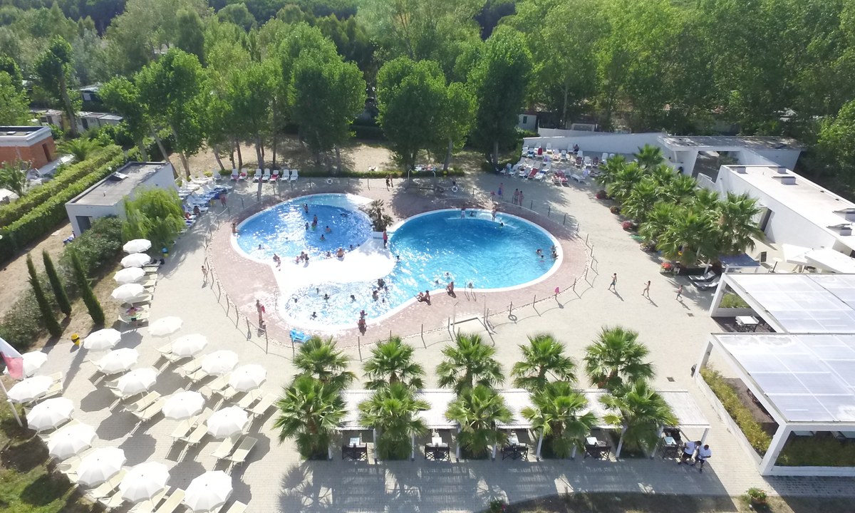
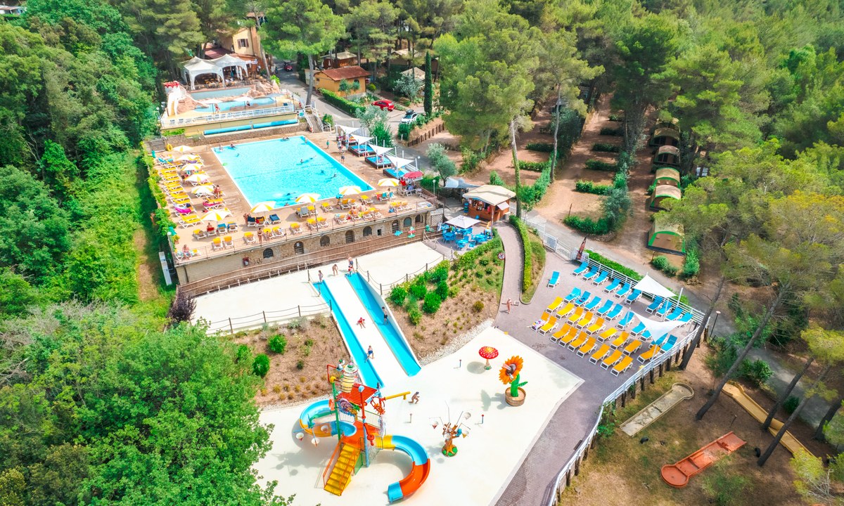
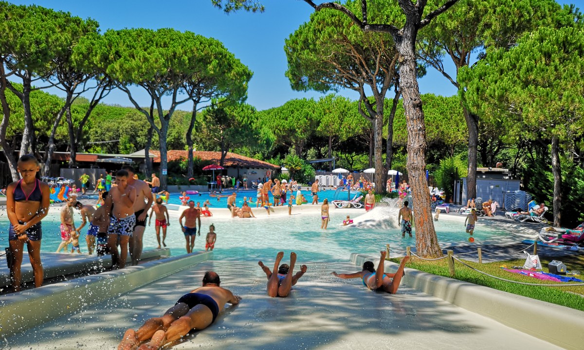
Camping Molino a Fuoco
3
Allcamps
Camping Molino a Fuoco
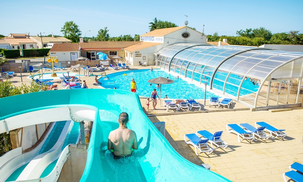
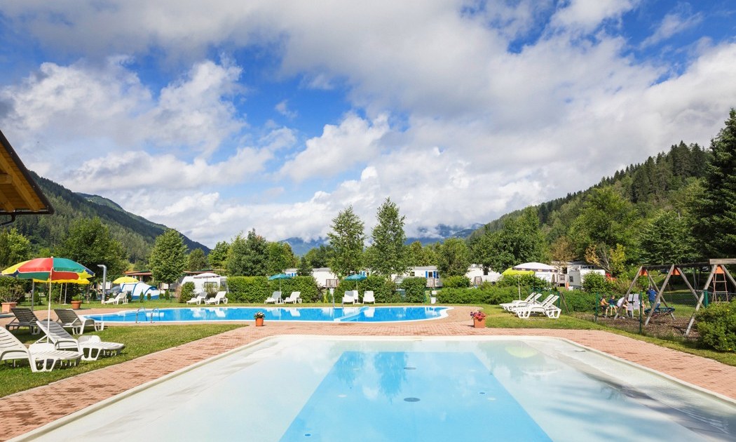
Camping Le Domaine de Beaulieu
4
Allcamps
Camping Le Domaine de Beaulieu
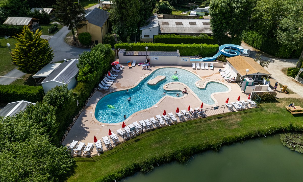
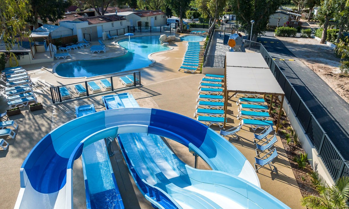
Camping Countrypark Touquin
4
Allcamps
Camping Countrypark Touquin
Marvilla Parks Le Lac des Vieilles Forges
3
Allcamps
Marvilla Parks Le Lac des Vieilles Forges
Camping Le Pianacce
3
Allcamps
Camping Le Pianacce
Camping Bella Austria
4
Allcamps
Camping Bella Austria
Marvilla Parks La Presqu'île St. Mandrier
4
Allcamps
Marvilla Parks La Presqu'île St. Mandrier
Camping Serenella
3
Allcamps
Camping Serenella
Camping Waikiki
4
Allcamps
Camping Waikiki
Paginering
Eerste pagina
« Eerste
Vorige pagina
‹ Vorige
…
Pagina
2575
Pagina
2576
Pagina
2577
Pagina
2578
Huidige pagina
2579
Pagina
2580
Pagina
2581
Pagina
2582
Pagina
2583
…
Volgende pagina
Volgende ›
Laatste pagina
Laatste »
Abonneer op