Main navigation
Home
Caravans
Kampeershop
Alle artikelen
Barbecueën
Caravanartikelen
Chemische toiletten
Kampeerartikelen
Koken & servies
Tenten
Voortenten & luifels
Zaklampen
Deken slaapzakken
Tenten
Campings
Campings in België
Campings in Denemarken
Campings in Duitsland
Campings in Frankrijk
Campings in Griekenland
Campings in Italië
Campings in Kroatië
Campings in Luxemburg
Campings in Nederland
Campings in Noorwegen
Campings in Portugal
Campings in Slovenie
Campings in Spanje
Campings in Tsjechië
Campings in Zweden
Camping toevoegen
Bedrijven
Caravanbedrijven en dealers
Samenwerken?
Caravanbedrijf toevoegen
Camping toevoegen
Contact
Nieuws & tips
+ Verkopen
+ Inloggen
+ Registreer
Zoeken
Kruimelpad
Home
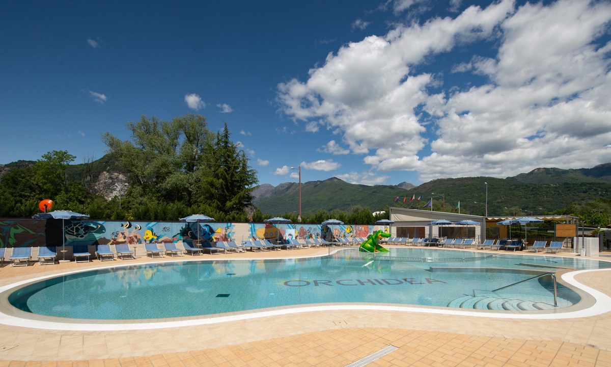
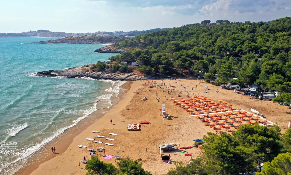
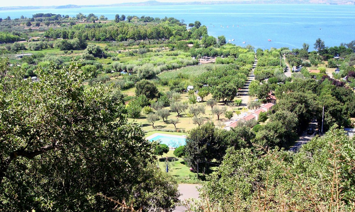
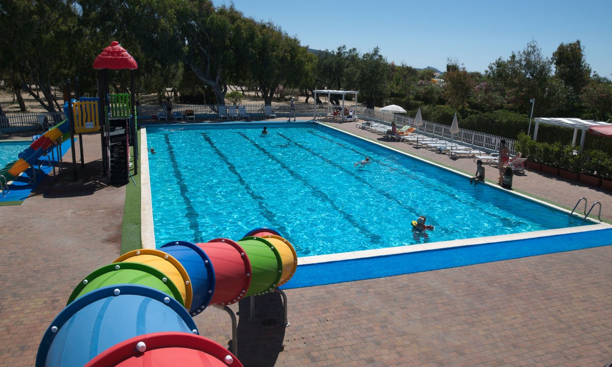
Camping Orchidea
4
Allcamps
Camping Orchidea
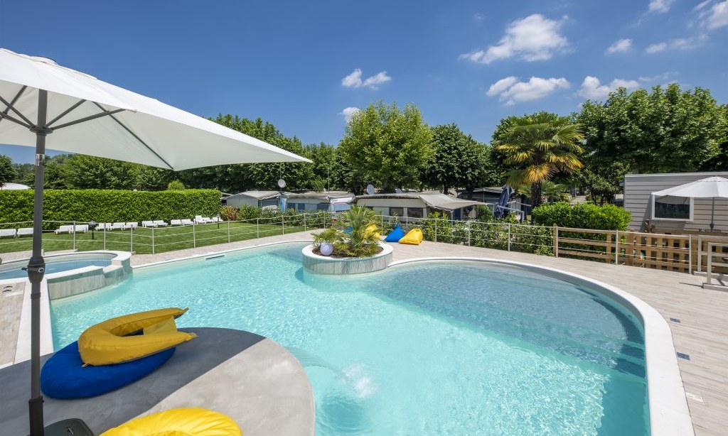
Camping Rose
3
Allcamps
Camping Rose
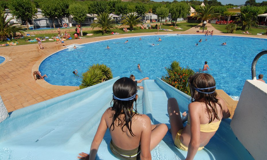
Camping Mas Patoxas
4
Allcamps
Camping Mas Patoxas
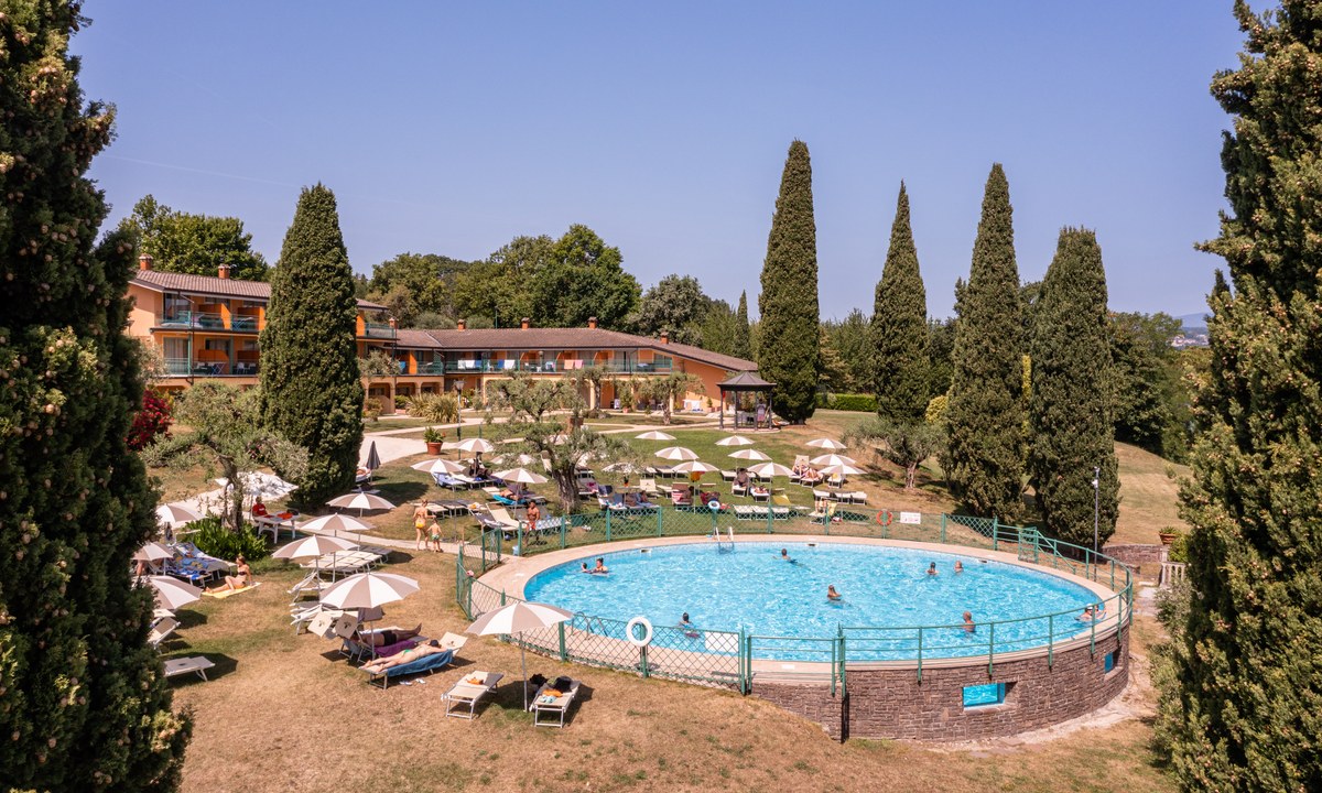
Desenzano Lake Village
4
Allcamps
Desenzano Lake Village
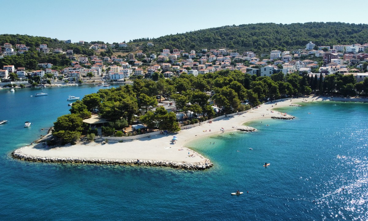
Camping Punta Lunga
3
Allcamps
Camping Punta Lunga
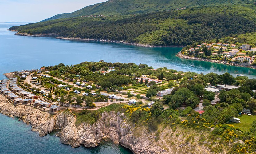
Valamar Camping Marina
4
Allcamps
Valamar Camping Marina
Camping Adriatic
3
Allcamps
Camping Adriatic
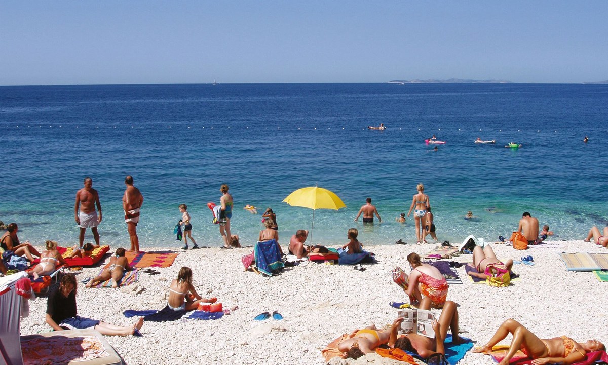
Camping Rozac
3
Allcamps
Camping Rozac
Camping Blu International
3
Allcamps
Camping Blu International
La Foce Village and Camping
4
Allcamps
La Foce Village and Camping
Paginering
Eerste pagina
« Eerste
Vorige pagina
‹ Vorige
…
Pagina
2581
Pagina
2582
Pagina
2583
Pagina
2584
Huidige pagina
2585
Pagina
2586
Pagina
2587
Pagina
2588
Pagina
2589
…
Volgende pagina
Volgende ›
Laatste pagina
Laatste »
Abonneer op