Main navigation
Home
Caravans
Kampeershop
Alle artikelen
Barbecueën
Caravanartikelen
Chemische toiletten
Kampeerartikelen
Koken & servies
Tenten
Voortenten & luifels
Zaklampen
Deken slaapzakken
Tenten
Campings
Campings in België
Campings in Denemarken
Campings in Duitsland
Campings in Frankrijk
Campings in Griekenland
Campings in Italië
Campings in Kroatië
Campings in Luxemburg
Campings in Nederland
Campings in Noorwegen
Campings in Portugal
Campings in Slovenie
Campings in Spanje
Campings in Tsjechië
Campings in Zweden
Camping toevoegen
Bedrijven
Caravanbedrijven en dealers
Samenwerken?
Caravanbedrijf toevoegen
Camping toevoegen
Contact
Nieuws & tips
+ Verkopen
+ Inloggen
+ Registreer
Zoeken
Kruimelpad
Home
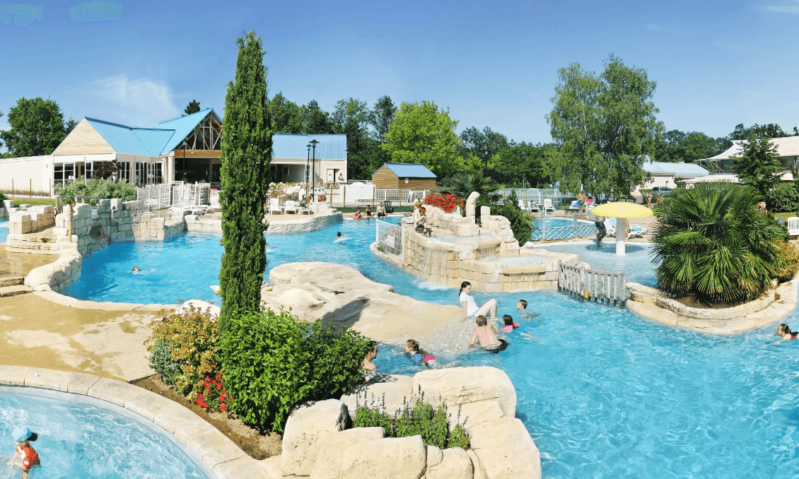
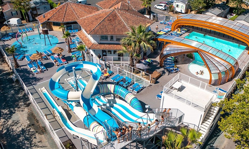
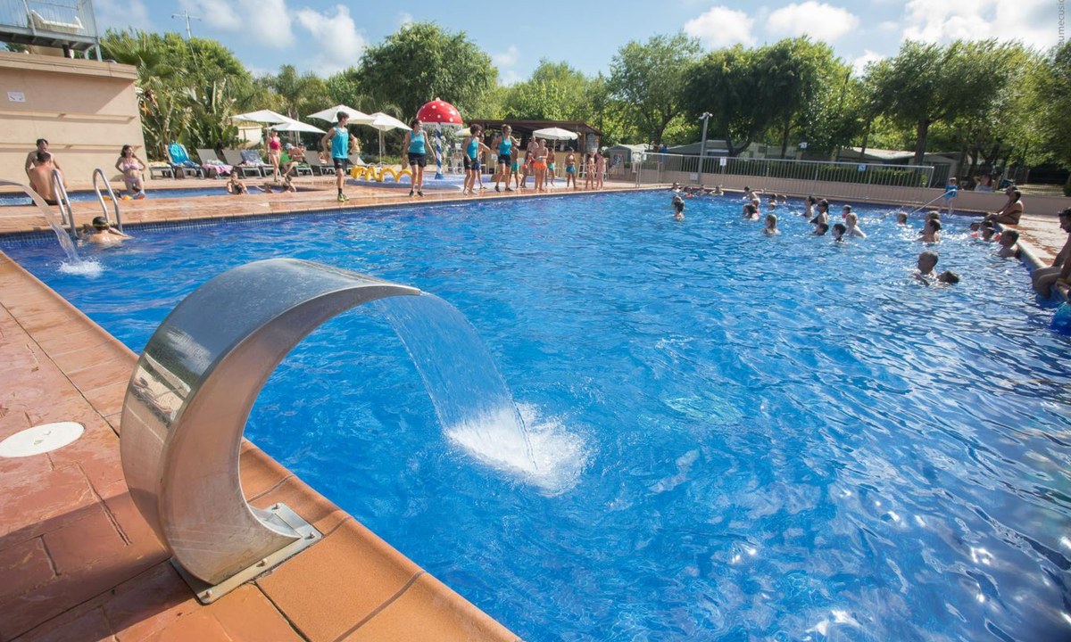
Camping Le Parc de Fierbois
5
Allcamps
Camping Le Parc de Fierbois
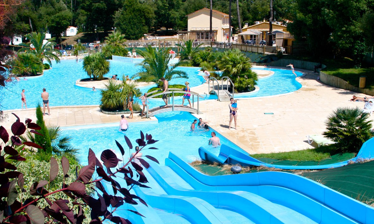
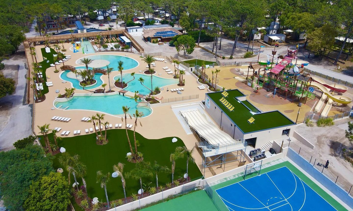
Camping Le Logis
3
Allcamps
Camping Le Logis
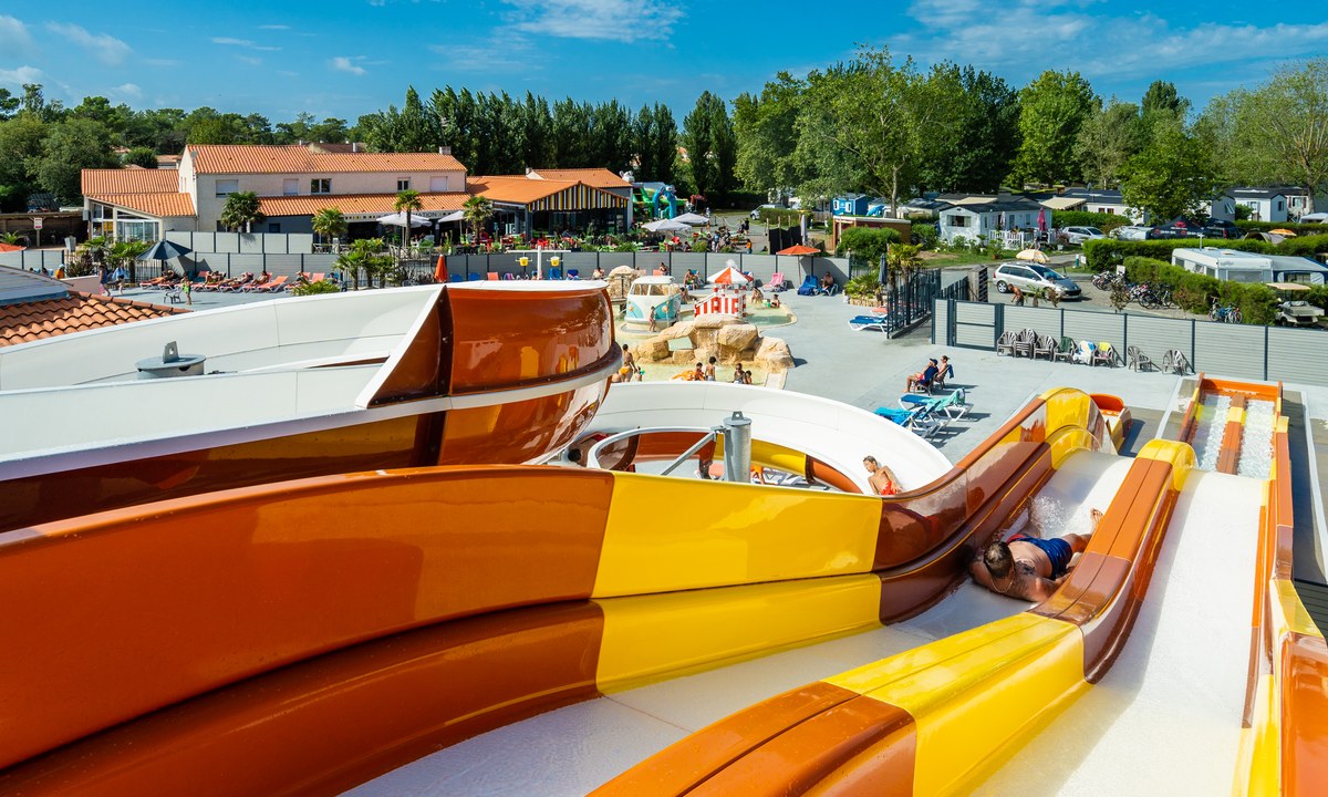
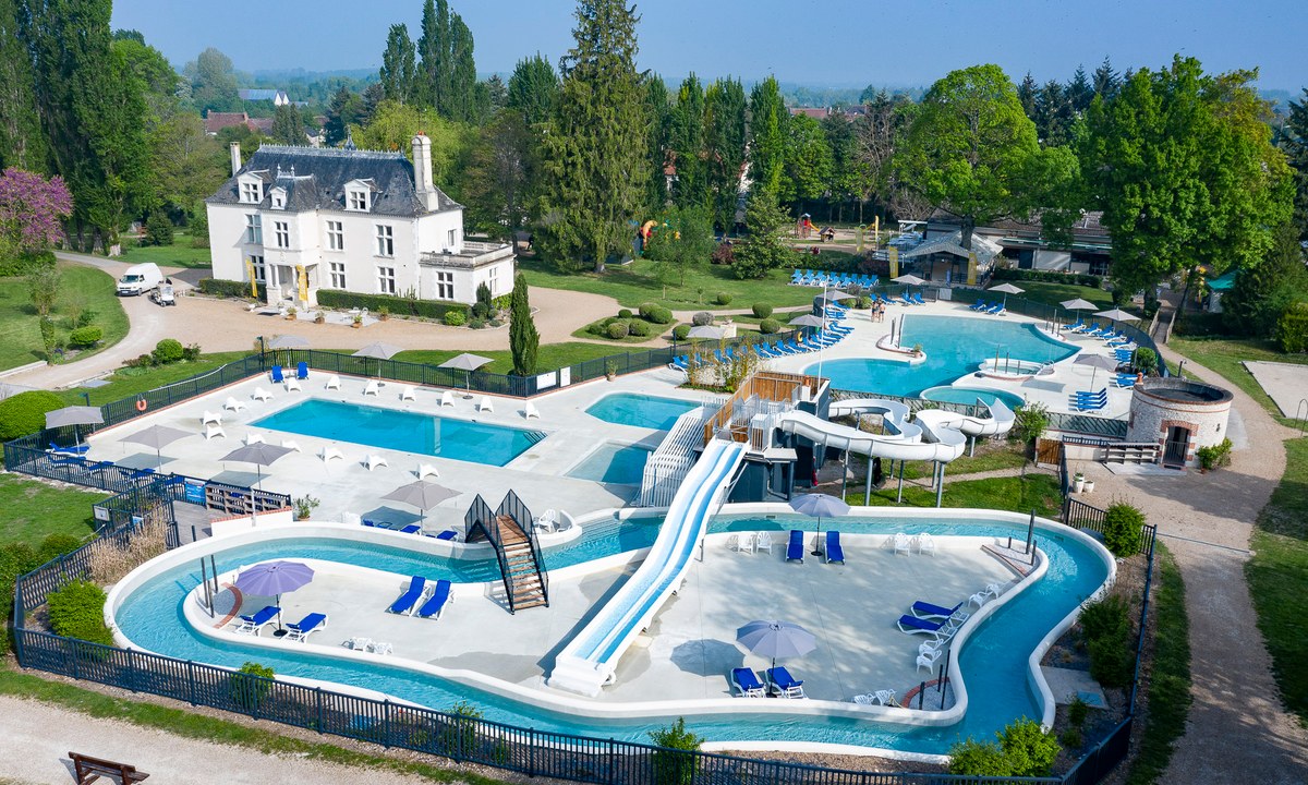
Camping Le Jard
4
Allcamps
Camping Le Jard
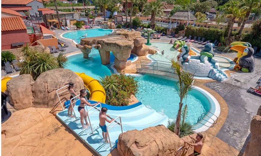
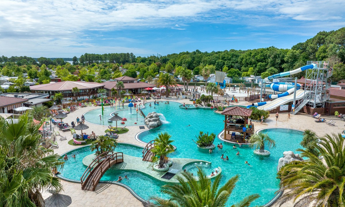
Camping Le Front de Mer
4
Allcamps
Camping Le Front de Mer
Camping Le Domaine de la Marina
3
Allcamps
Camping Le Domaine de la Marina
Camping La Côte D'Argent
5
Allcamps
Camping La Côte D'Argent
Camping Chateau des Marais
5
Allcamps
Camping Chateau des Marais
Camping Au Lac de Biscarrosse
4
Allcamps
Camping Au Lac de Biscarrosse
Camping Caballo de Mar
3
Allcamps
Camping Caballo de Mar
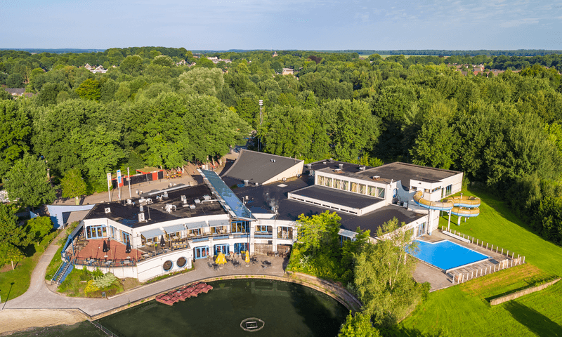
Camping Hunzedal
5
Allcamps
Camping Hunzedal
Paginering
Eerste pagina
« Eerste
Vorige pagina
‹ Vorige
…
Pagina
2585
Pagina
2586
Pagina
2587
Pagina
2588
Huidige pagina
2589
Pagina
2590
Pagina
2591
Pagina
2592
Pagina
2593
…
Volgende pagina
Volgende ›
Laatste pagina
Laatste »
Abonneer op