Main navigation
Home
Caravans
Kampeershop
Alle artikelen
Barbecueën
Caravanartikelen
Chemische toiletten
Kampeerartikelen
Koken & servies
Tenten
Voortenten & luifels
Zaklampen
Deken slaapzakken
Tenten
Campings
Campings in België
Campings in Denemarken
Campings in Duitsland
Campings in Frankrijk
Campings in Griekenland
Campings in Italië
Campings in Kroatië
Campings in Luxemburg
Campings in Nederland
Campings in Noorwegen
Campings in Portugal
Campings in Slovenie
Campings in Spanje
Campings in Tsjechië
Campings in Zweden
Camping toevoegen
Bedrijven
Caravanbedrijven en dealers
Samenwerken?
Caravanbedrijf toevoegen
Camping toevoegen
Contact
Nieuws & tips
+ Verkopen
+ Inloggen
+ Registreer
Zoeken
Kruimelpad
Home
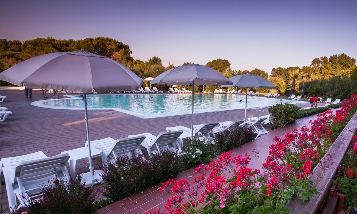
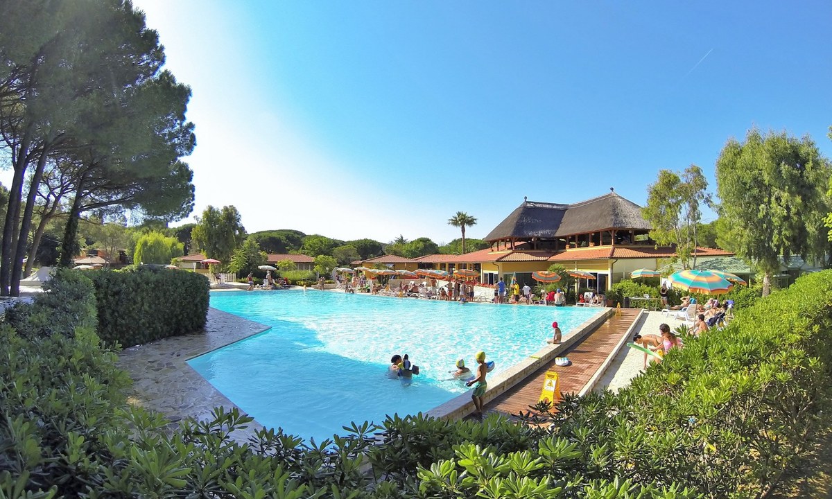
Camping Le Tamerici
3
Allcamps
Camping Le Tamerici
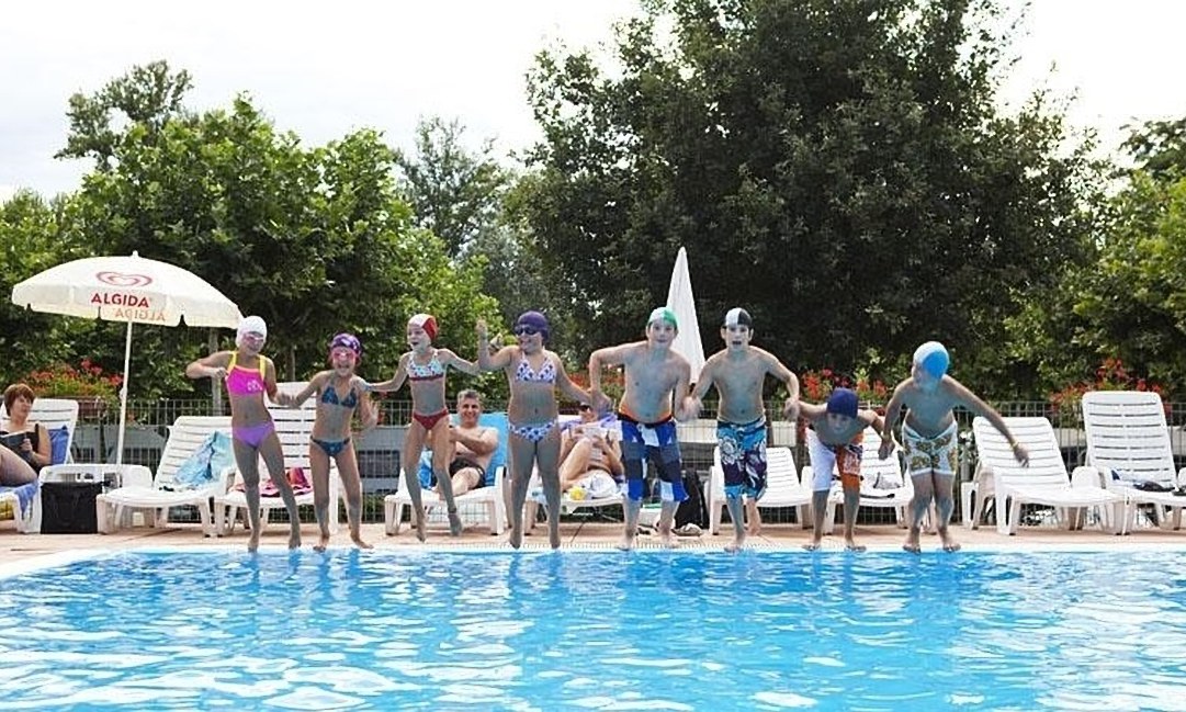
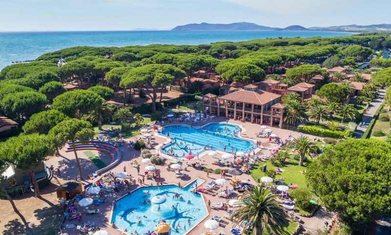
Camping Okay Lido
4
Allcamps
Camping Okay Lido
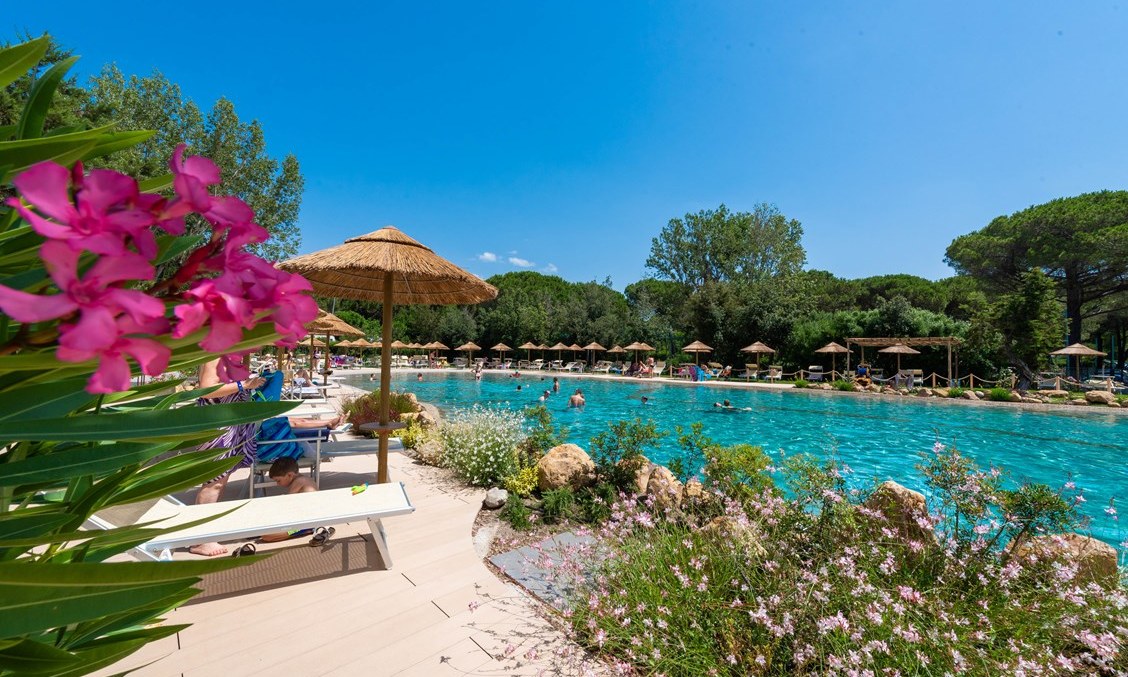
Camping Le Esperidi
3
Allcamps
Camping Le Esperidi
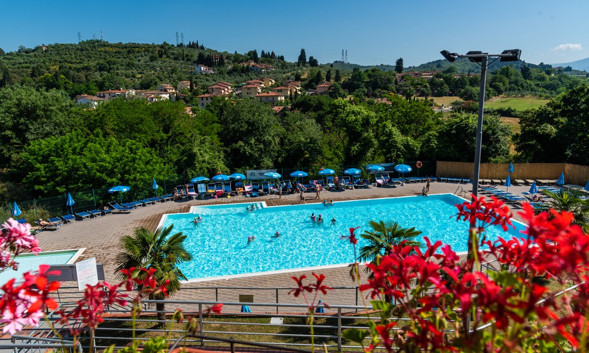
Camping Il Poggetto
3
Allcamps
Camping Il Poggetto
Camping Free Time
3
Allcamps
Camping Free Time
Camping Free Beach
3
Allcamps
Camping Free Beach
Camping Argentario Camping Village
3
Allcamps
Camping Argentario Camping Village
Camping Les Tamaris
5
Allcamps
Camping Les Tamaris
Camping Port Pothuau
4
Allcamps
Camping Port Pothuau
Camping Mas des Lavandes
4
Allcamps
Camping Mas des Lavandes
Paginering
Eerste pagina
« Eerste
Vorige pagina
‹ Vorige
…
Pagina
2586
Pagina
2587
Pagina
2588
Pagina
2589
Huidige pagina
2590
Pagina
2591
Pagina
2592
Pagina
2593
Pagina
2594
…
Volgende pagina
Volgende ›
Laatste pagina
Laatste »
Abonneer op