Main navigation
Home
Caravans
Kampeershop
Alle artikelen
Barbecueën
Caravanartikelen
Chemische toiletten
Kampeerartikelen
Koken & servies
Tenten
Voortenten & luifels
Zaklampen
Deken slaapzakken
Tenten
Campings
Campings in België
Campings in Denemarken
Campings in Duitsland
Campings in Frankrijk
Campings in Griekenland
Campings in Italië
Campings in Kroatië
Campings in Luxemburg
Campings in Nederland
Campings in Noorwegen
Campings in Portugal
Campings in Slovenie
Campings in Spanje
Campings in Tsjechië
Campings in Zweden
Camping toevoegen
Bedrijven
Caravanbedrijven en dealers
Samenwerken?
Caravanbedrijf toevoegen
Camping toevoegen
Contact
Nieuws & tips
+ Verkopen
+ Inloggen
+ Registreer
Zoeken
Kruimelpad
Home
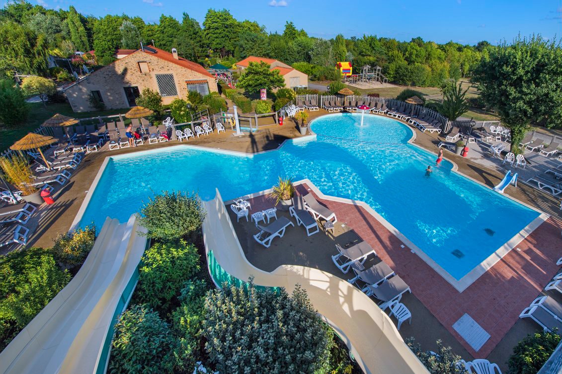
RCN la Ferme du Latois
****
ACSI Eurocamping
46.67672000
-1.76900000
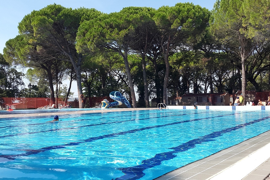
RCN la Ferme du Latois
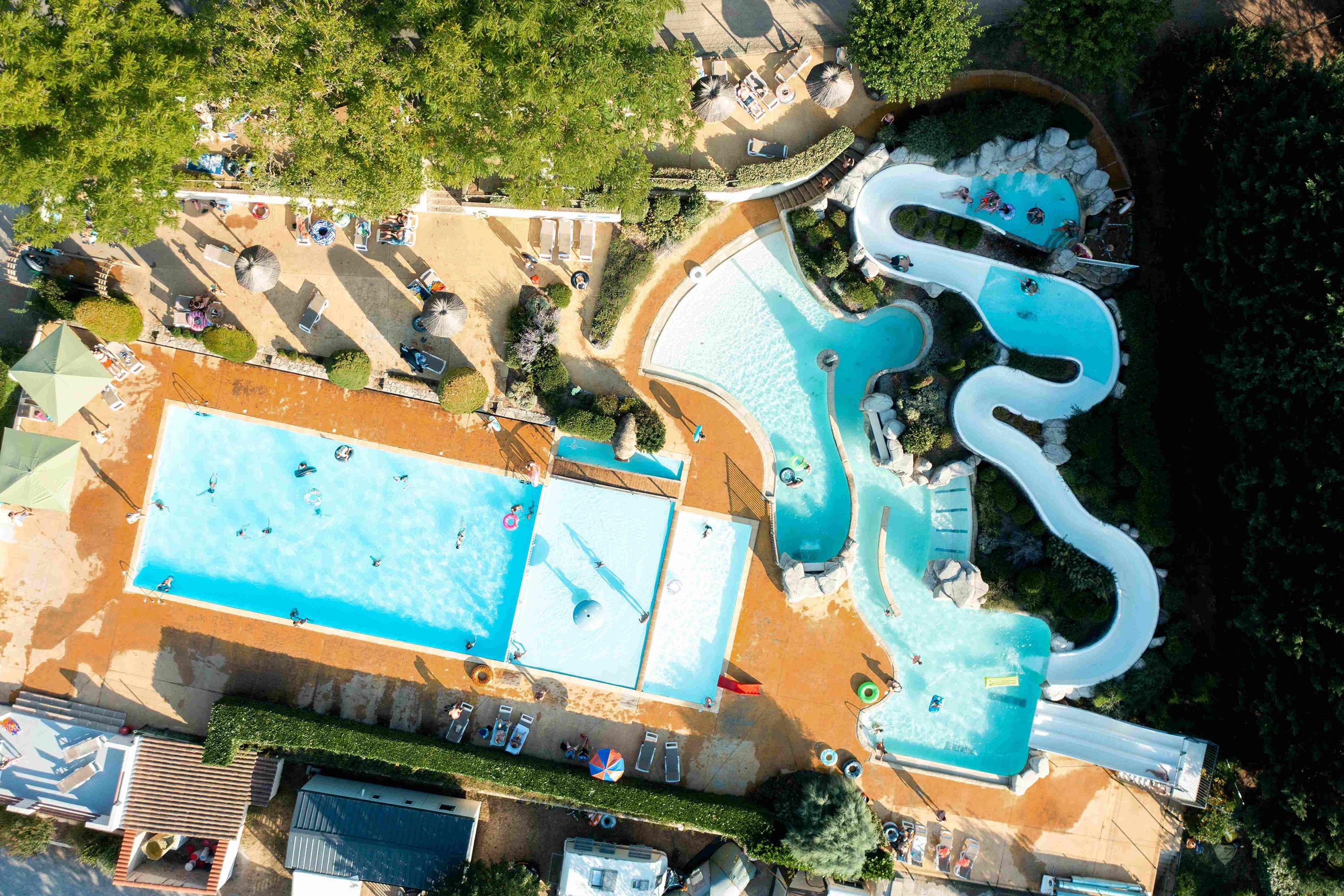
RCN Val de Cantobre
*****
ACSI Eurocamping
44.04547000
3.30214000
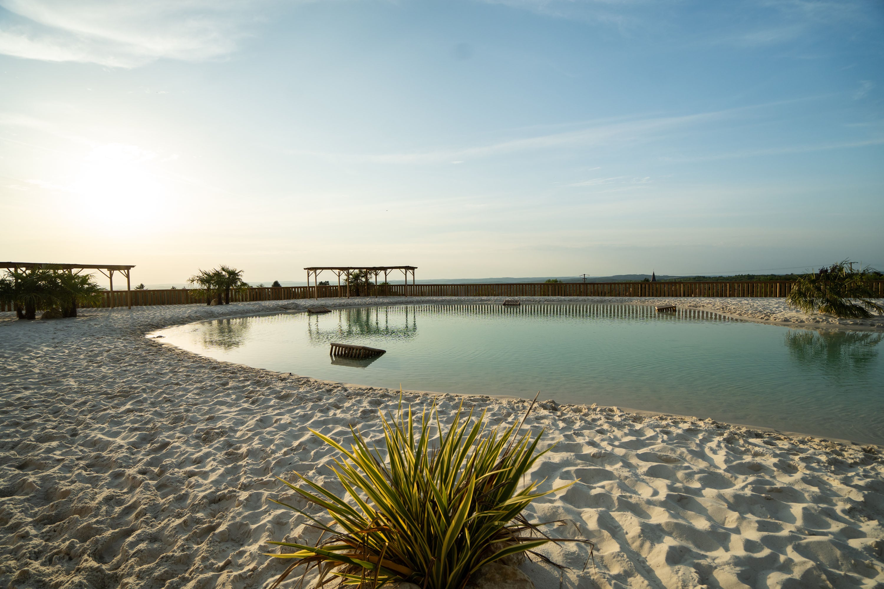
RCN Val de Cantobre
Flower Camping Val de Vie
****
ACSI Eurocamping
46.75306000
-1.68594000
Flower Camping Val de Vie
Camping C'Era una Volta
****
ACSI Eurocamping
44.04350000
8.11369000
Camping C'Era una Volta
RCN Domaine de la Noguière
****
ACSI Eurocamping
43.46800000
6.59183000
RCN Domaine de la Noguière
Belvedere Pineta Camping Village
****
ACSI Eurocamping
45.72642000
13.39969000
Belvedere Pineta Camping Village
Camping Sunêlia Le Séquoia
****
ACSI Eurocamping
44.78953000
1.47214000
Camping Sunêlia Le Séquoia
Camping Sandaya la Bosse
****
ACSI Eurocamping
46.98528000
-2.28347000
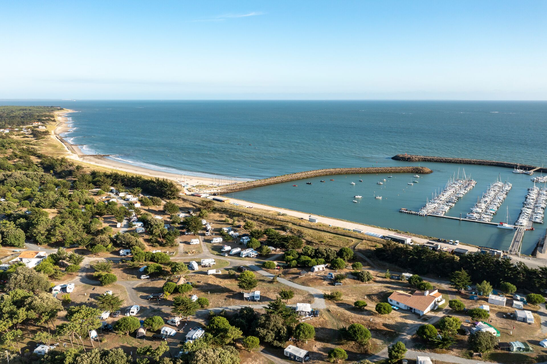
Camping Sandaya la Bosse
Camping Aquarev
***
ACSI Eurocamping
48.17908000
-2.72800000
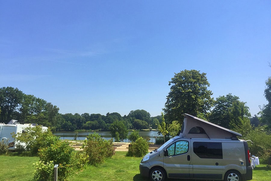
Camping Aquarev
Camping Am Hardausee
*****
ACSI Eurocamping
52.86964000
10.42267000
Camping Am Hardausee
Paginering
Eerste pagina
« Eerste
Vorige pagina
‹ Vorige
…
Pagina
2700
Pagina
2701
Pagina
2702
Pagina
2703
Huidige pagina
2704
Pagina
2705
Pagina
2706
Pagina
2707
Pagina
2708
…
Volgende pagina
Volgende ›
Laatste pagina
Laatste »
Abonneer op