Main navigation
Home
Caravans
Kampeershop
Alle artikelen
Barbecueën
Caravanartikelen
Chemische toiletten
Kampeerartikelen
Koken & servies
Tenten
Voortenten & luifels
Zaklampen
Deken slaapzakken
Tenten
Campings
Campings in België
Campings in Denemarken
Campings in Duitsland
Campings in Frankrijk
Campings in Griekenland
Campings in Italië
Campings in Kroatië
Campings in Luxemburg
Campings in Nederland
Campings in Noorwegen
Campings in Portugal
Campings in Slovenie
Campings in Spanje
Campings in Tsjechië
Campings in Zweden
Camping toevoegen
Bedrijven
Caravanbedrijven en dealers
Samenwerken?
Caravanbedrijf toevoegen
Camping toevoegen
Contact
Nieuws & tips
+ Verkopen
+ Inloggen
+ Registreer
Zoeken
Kruimelpad
Home
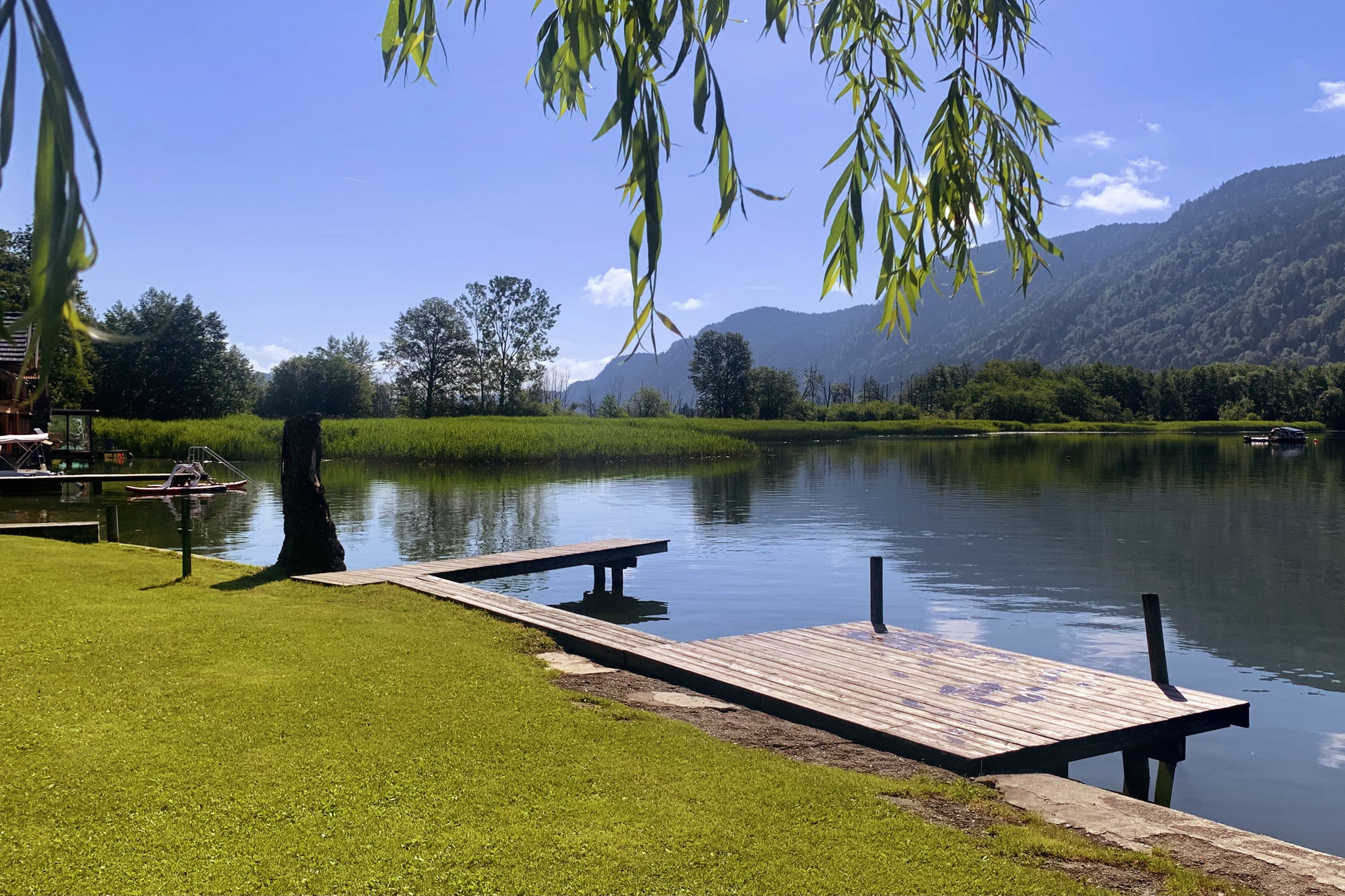
See-Areal Steindorf
****
ACSI Eurocamping
46.69436000
14.00931000
See-Areal Steindorf
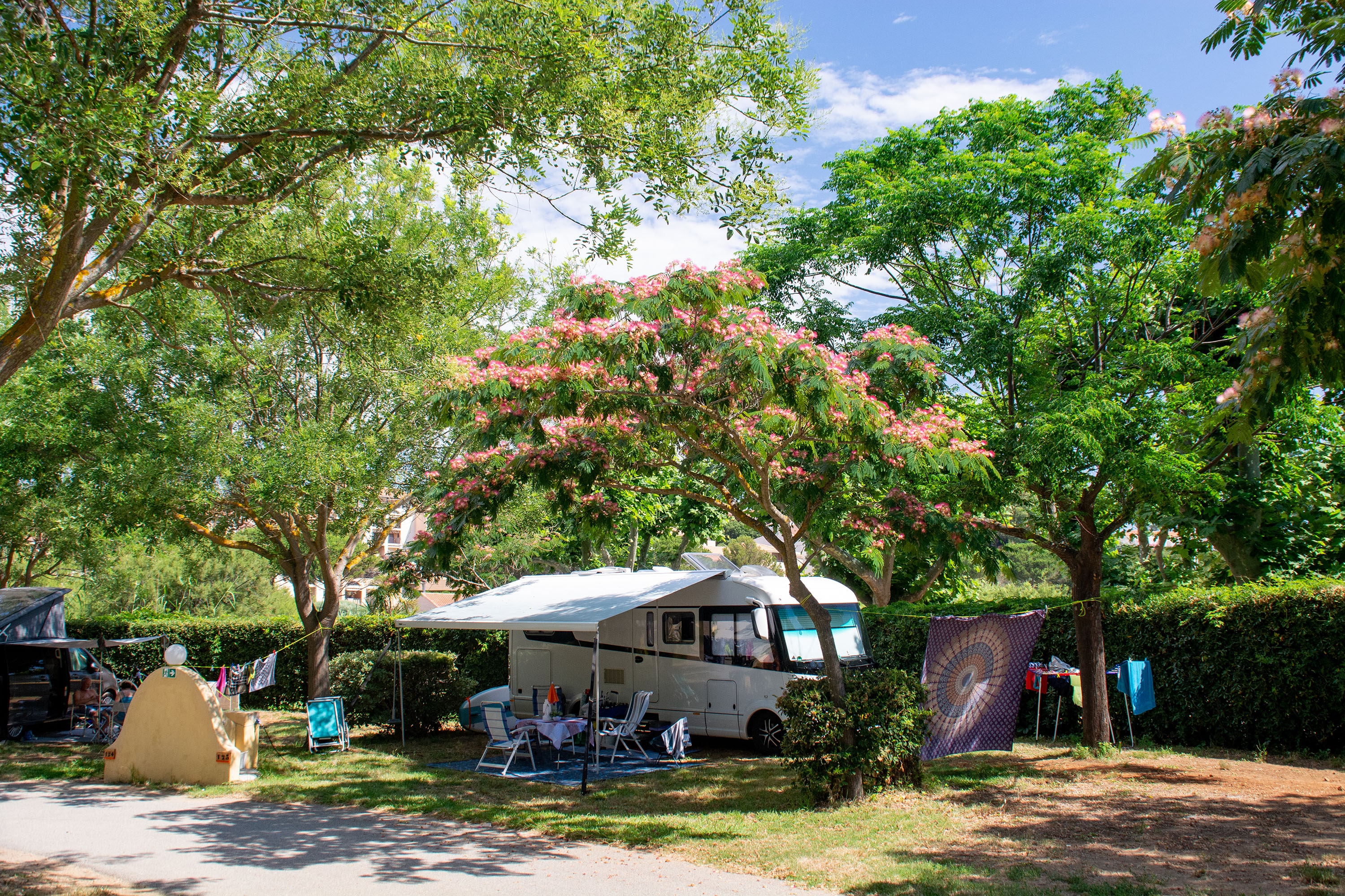
Au Paradis des Campeurs
****
ACSI Eurocamping
43.36606000
6.71192000
Au Paradis des Campeurs
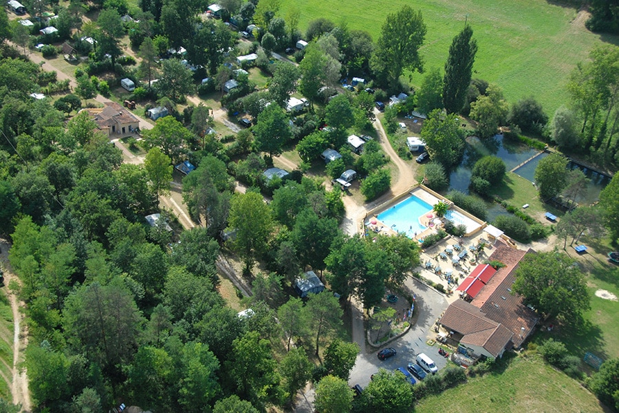
Camping Les Tailladis
***
ACSI Eurocamping
44.97467000
1.18789000
Camping Les Tailladis
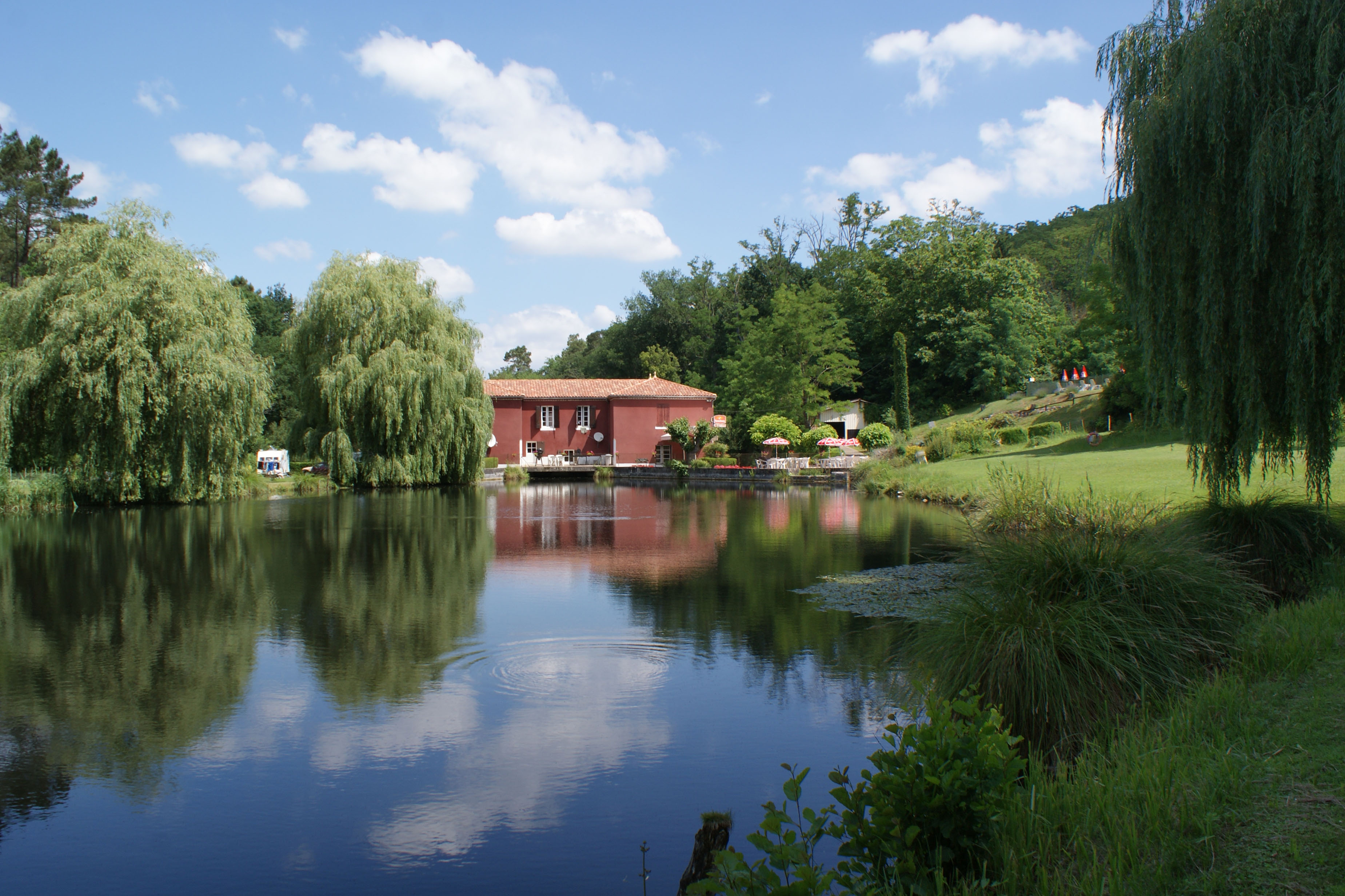
Camping Moulin de Campech
***
ACSI Eurocamping
44.27164000
0.19097000
Camping Moulin de Campech
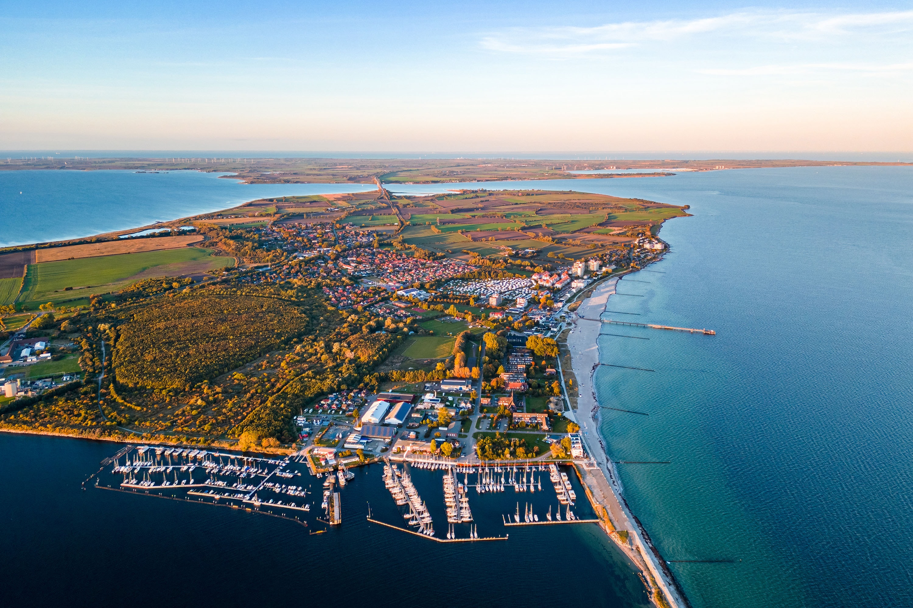
MeerReise Camping
****
ACSI Eurocamping
54.36036000
11.08742000
MeerReise Camping
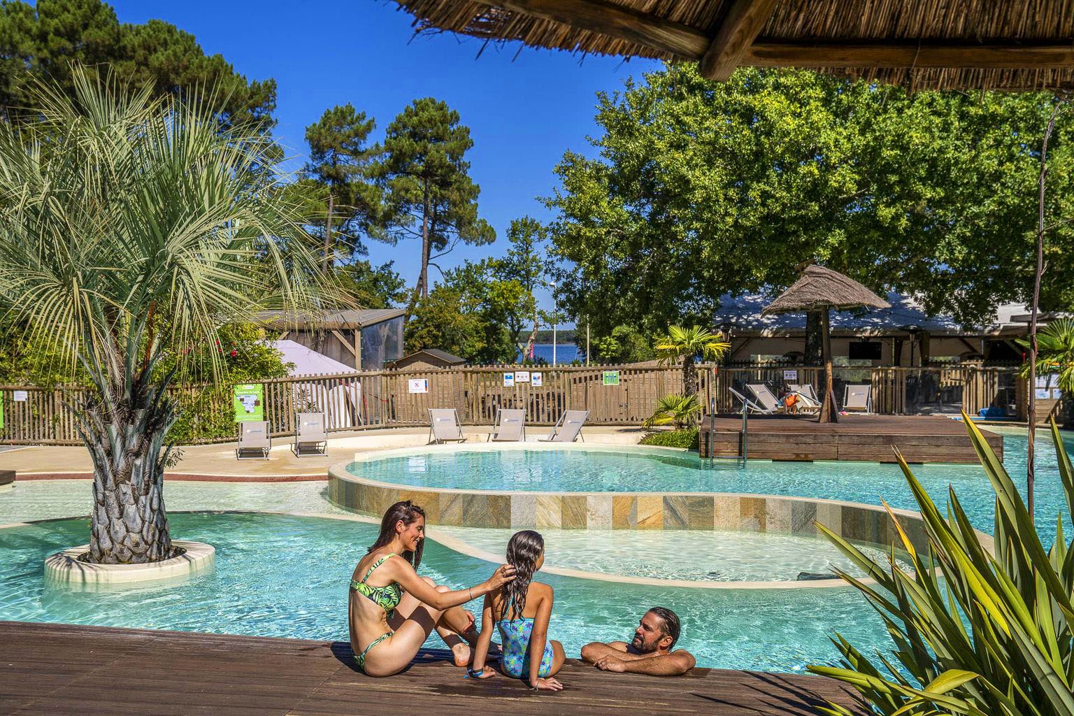
Camping Sandaya Le Lac de Sanguinet
*****
ACSI Eurocamping
44.48136000
-1.09339000
Camping Sandaya Le Lac de Sanguinet
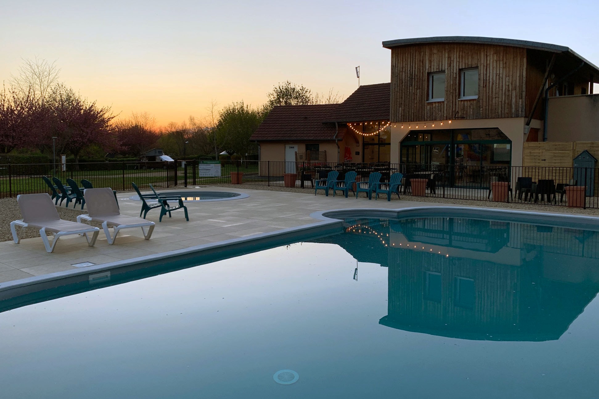
Camping Le Hameau des Champs
n.b.
ACSI Eurocamping
46.54836000
4.68386000
Camping Le Hameau des Champs
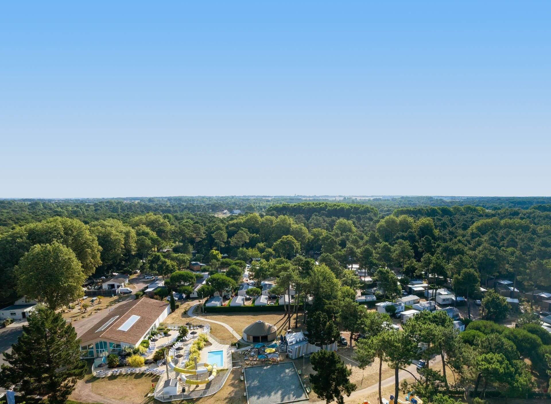
Camping Sandaya Les Mathes
****
ACSI Eurocamping
45.73053000
-1.17567000
Camping Sandaya Les Mathes
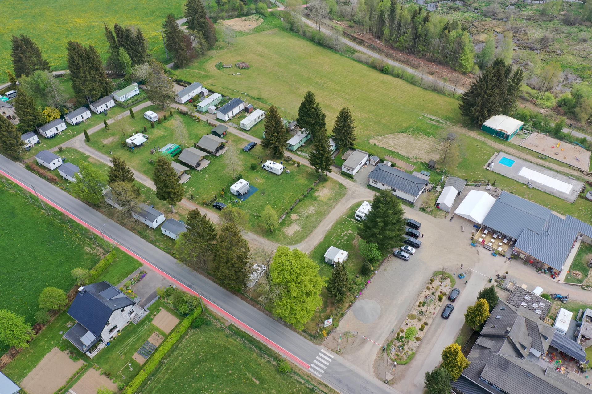
Camping Oos Heem BVBA
***
ACSI Eurocamping
50.34839000
6.11989000
Camping Oos Heem BVBA
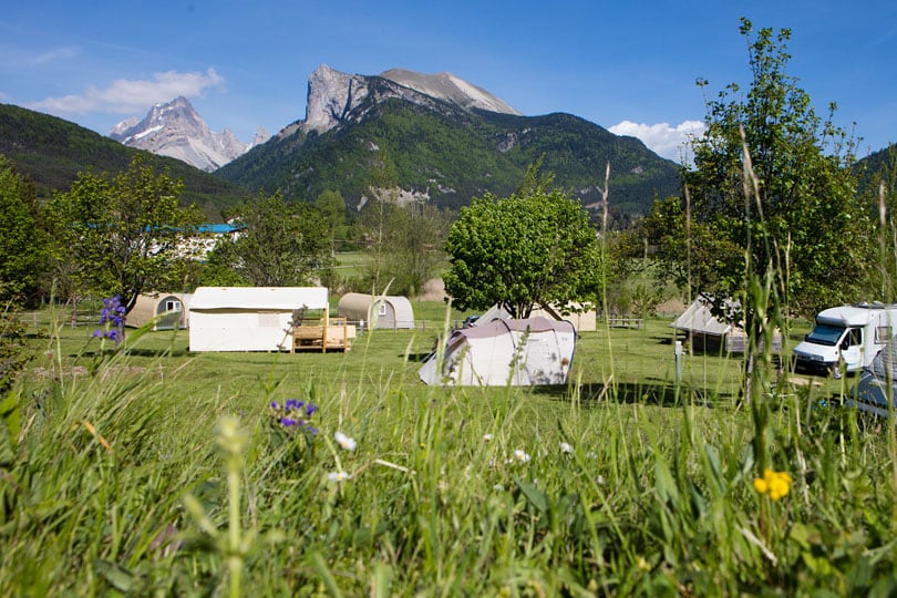
Camping Champ la Chèvre
***
ACSI Eurocamping
44.66450000
5.70733000
Camping Champ la Chèvre
Paginering
Eerste pagina
« Eerste
Vorige pagina
‹ Vorige
…
Pagina
2704
Pagina
2705
Pagina
2706
Pagina
2707
Huidige pagina
2708
Pagina
2709
Pagina
2710
Pagina
2711
Pagina
2712
…
Volgende pagina
Volgende ›
Laatste pagina
Laatste »
Abonneer op