Main navigation
Home
Caravans
Kampeershop
Alle artikelen
Barbecueën
Caravanartikelen
Chemische toiletten
Kampeerartikelen
Koken & servies
Tenten
Voortenten & luifels
Zaklampen
Deken slaapzakken
Tenten
Campings
Campings in België
Campings in Denemarken
Campings in Duitsland
Campings in Frankrijk
Campings in Griekenland
Campings in Italië
Campings in Kroatië
Campings in Luxemburg
Campings in Nederland
Campings in Noorwegen
Campings in Portugal
Campings in Slovenie
Campings in Spanje
Campings in Tsjechië
Campings in Zweden
Camping toevoegen
Bedrijven
Caravanbedrijven en dealers
Samenwerken?
Caravanbedrijf toevoegen
Camping toevoegen
Contact
Nieuws & tips
+ Verkopen
+ Inloggen
+ Registreer
Zoeken
Kruimelpad
Home
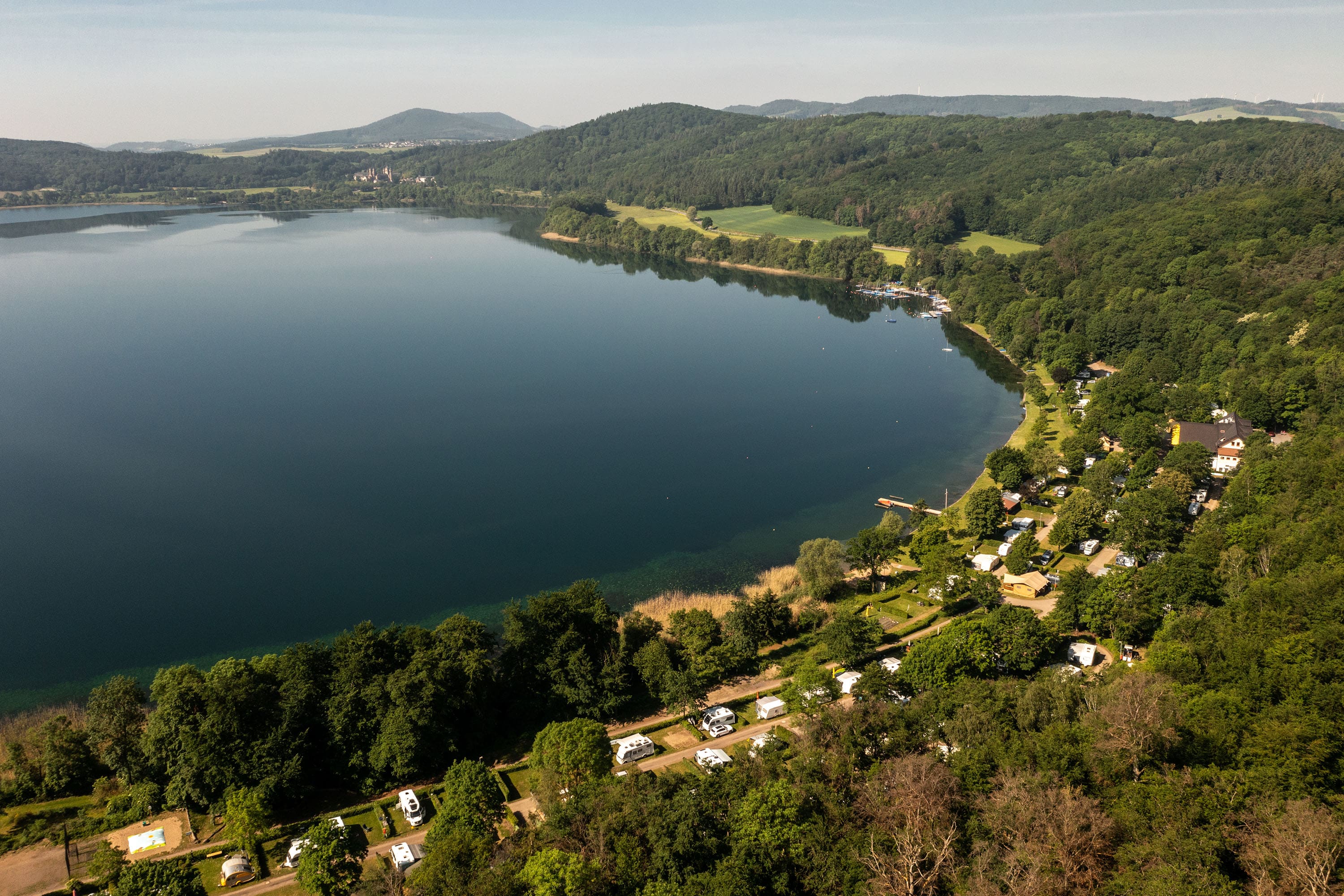
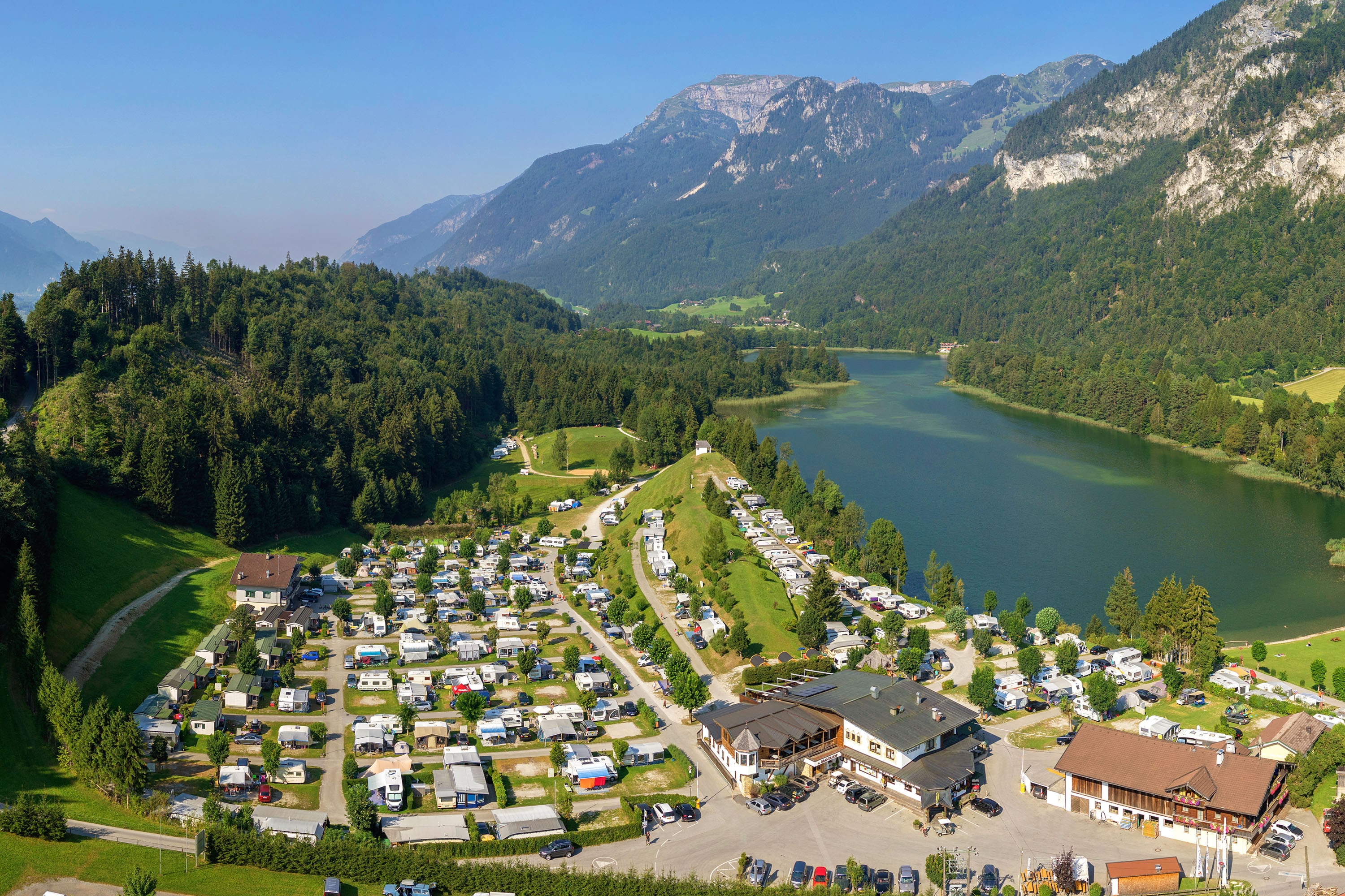
RCN Laacher See
****
ACSI Eurocamping
50.42194000
7.26500000
RCN Laacher See
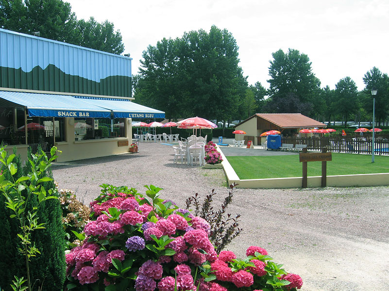
Camping L'Etang Bleu
n.b.
ACSI Eurocamping
45.44606000
0.50875000
Camping L'Etang Bleu
Camping Al Plan - Dolomites
***
ACSI Eurocamping
46.69475000
11.93831000
Camping Al Plan - Dolomites
Flower Camping Les Deux Rivières Sasu L'étoile
***
ACSI Eurocamping
49.87064000
1.14425000
Flower Camping Les Deux Rivières Sasu L'étoile
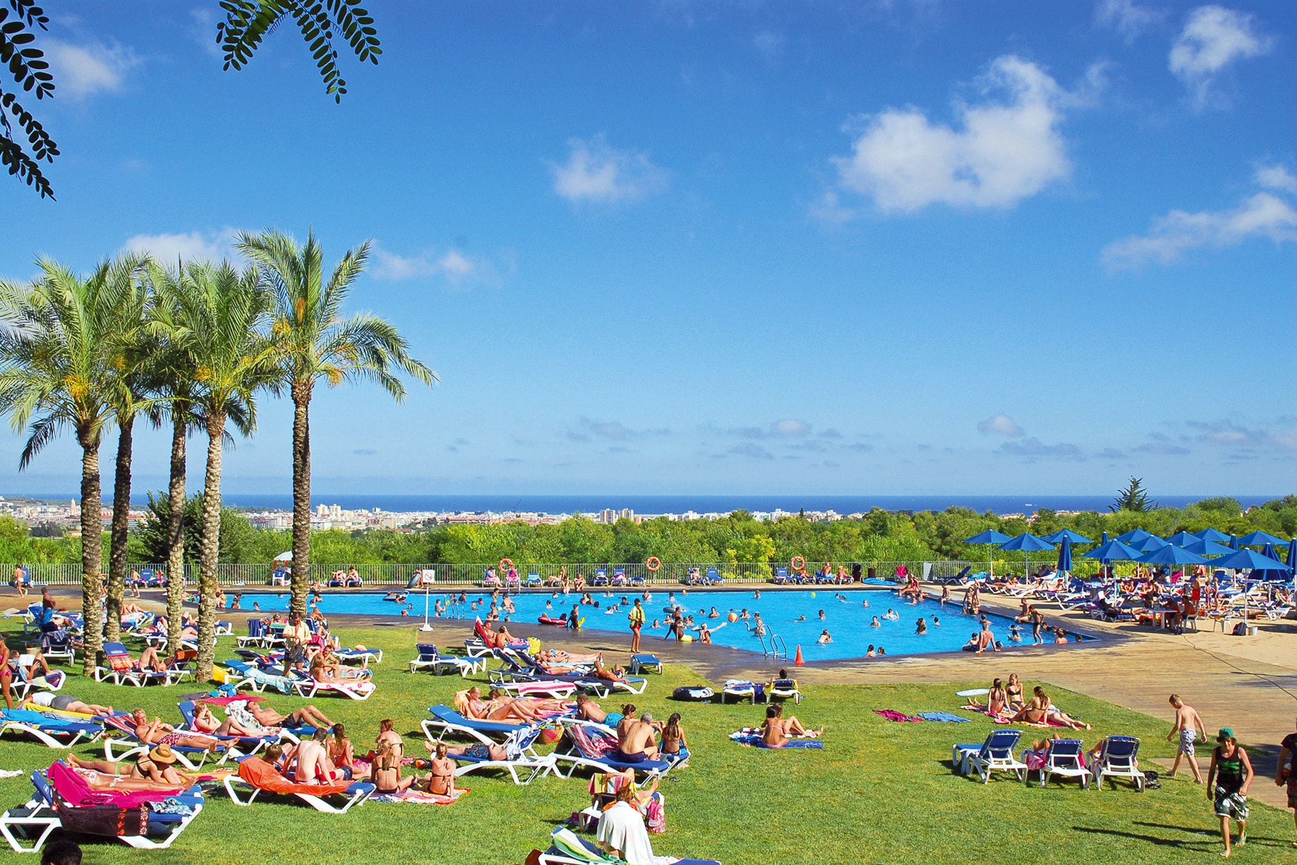
Camping Vilanova Park
Cat.1
ACSI Eurocamping
41.23167000
1.69106000
Camping Vilanova Park
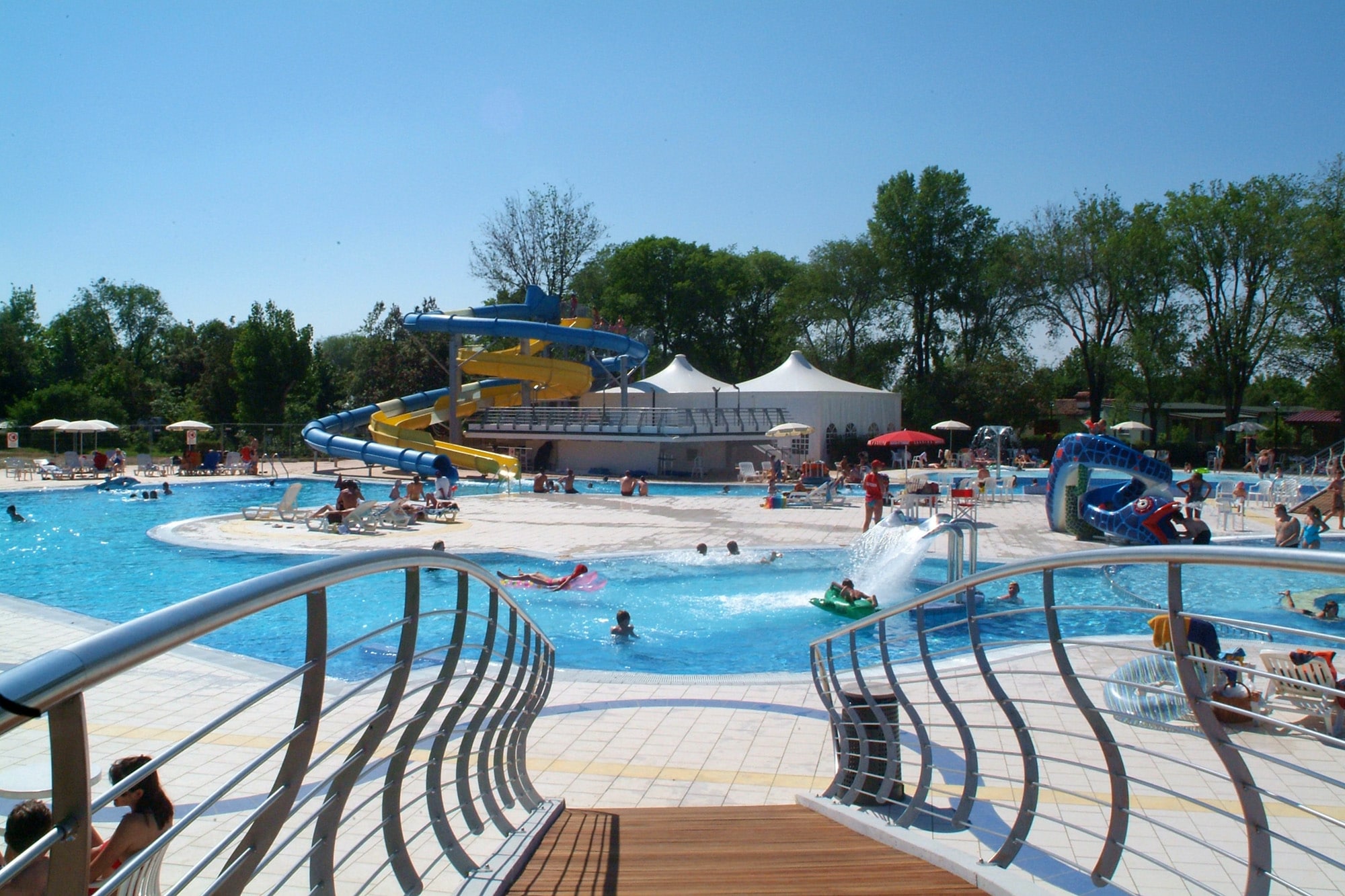
Camping Villaggio Europa
****
ACSI Eurocamping
45.69647000
13.45600000
Camping Villaggio Europa
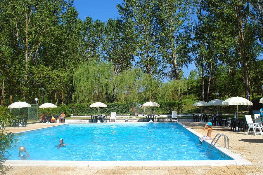
Camping Rio Verde
***
ACSI Eurocamping
43.35058000
12.68478000
Camping Rio Verde
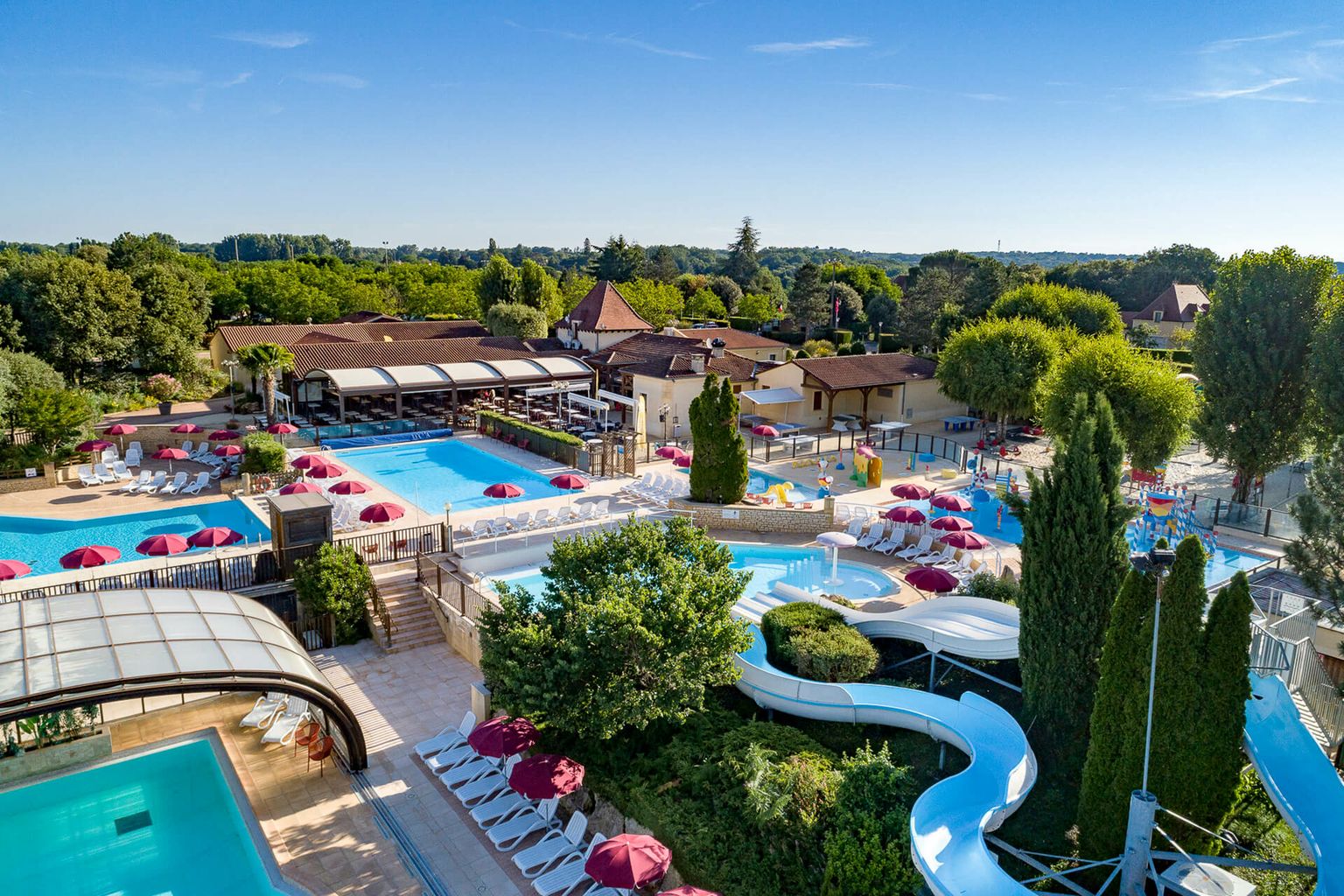
Camping Sandaya Les Péneyrals
*****
ACSI Eurocamping
44.95772000
1.27222000
Camping Sandaya Les Péneyrals
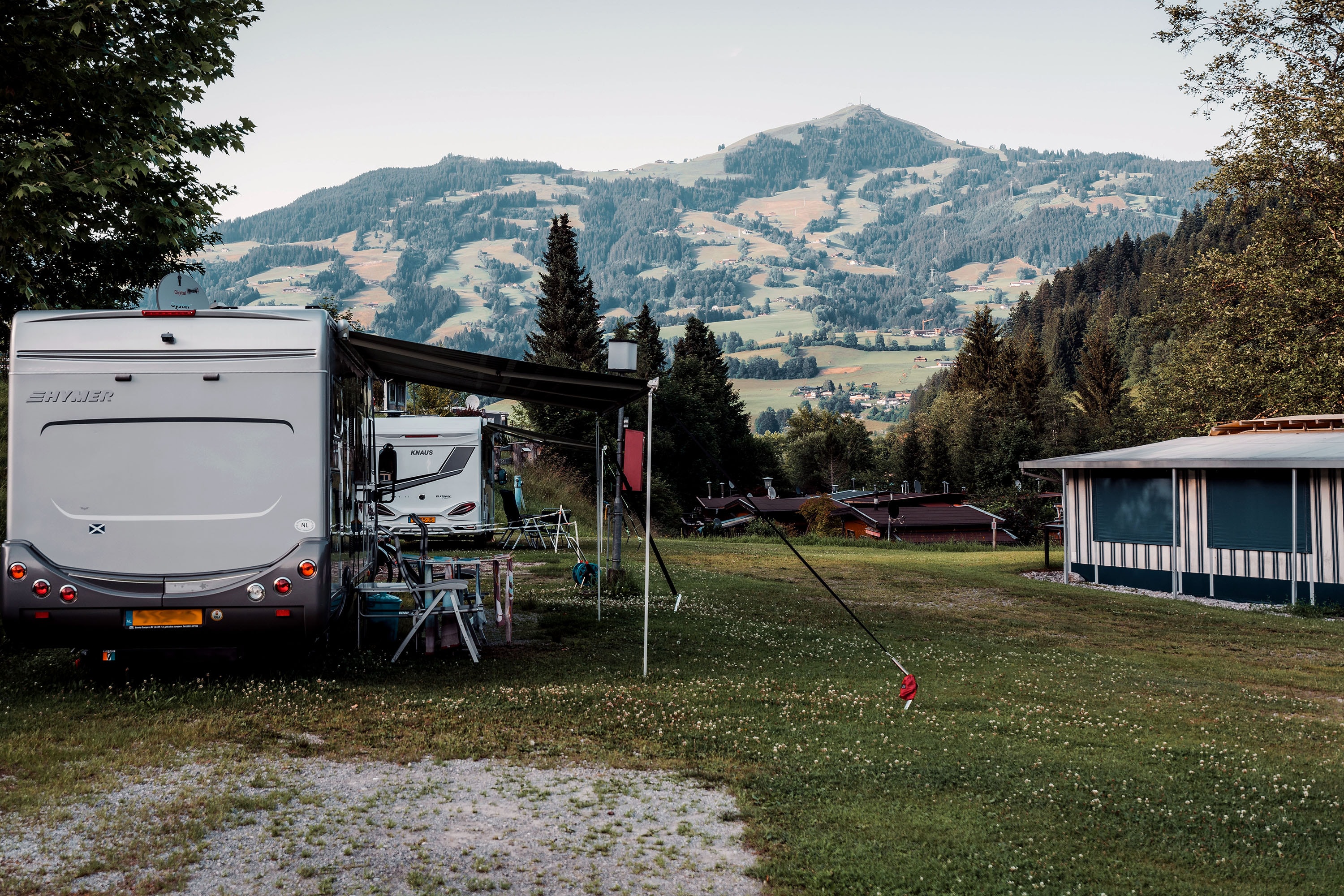
Camping Seeblick Toni
*****
ACSI Eurocamping
47.46111000
11.90656000
Camping Seeblick Toni
Camping Reiterhof
****
ACSI Eurocamping
47.43064000
12.14939000
Camping Reiterhof
Paginering
Eerste pagina
« Eerste
Vorige pagina
‹ Vorige
…
Pagina
2705
Pagina
2706
Pagina
2707
Pagina
2708
Huidige pagina
2709
Pagina
2710
Pagina
2711
Pagina
2712
Pagina
2713
…
Volgende pagina
Volgende ›
Laatste pagina
Laatste »
Abonneer op