Main navigation
Home
Caravans
Kampeershop
Alle artikelen
Barbecueën
Caravanartikelen
Chemische toiletten
Kampeerartikelen
Koken & servies
Tenten
Voortenten & luifels
Zaklampen
Deken slaapzakken
Tenten
Campings
Campings in België
Campings in Denemarken
Campings in Duitsland
Campings in Frankrijk
Campings in Griekenland
Campings in Italië
Campings in Kroatië
Campings in Luxemburg
Campings in Nederland
Campings in Noorwegen
Campings in Portugal
Campings in Slovenie
Campings in Spanje
Campings in Tsjechië
Campings in Zweden
Camping toevoegen
Bedrijven
Caravanbedrijven en dealers
Samenwerken?
Caravanbedrijf toevoegen
Camping toevoegen
Contact
Nieuws & tips
+ Verkopen
+ Inloggen
+ Registreer
Zoeken
Kruimelpad
Home
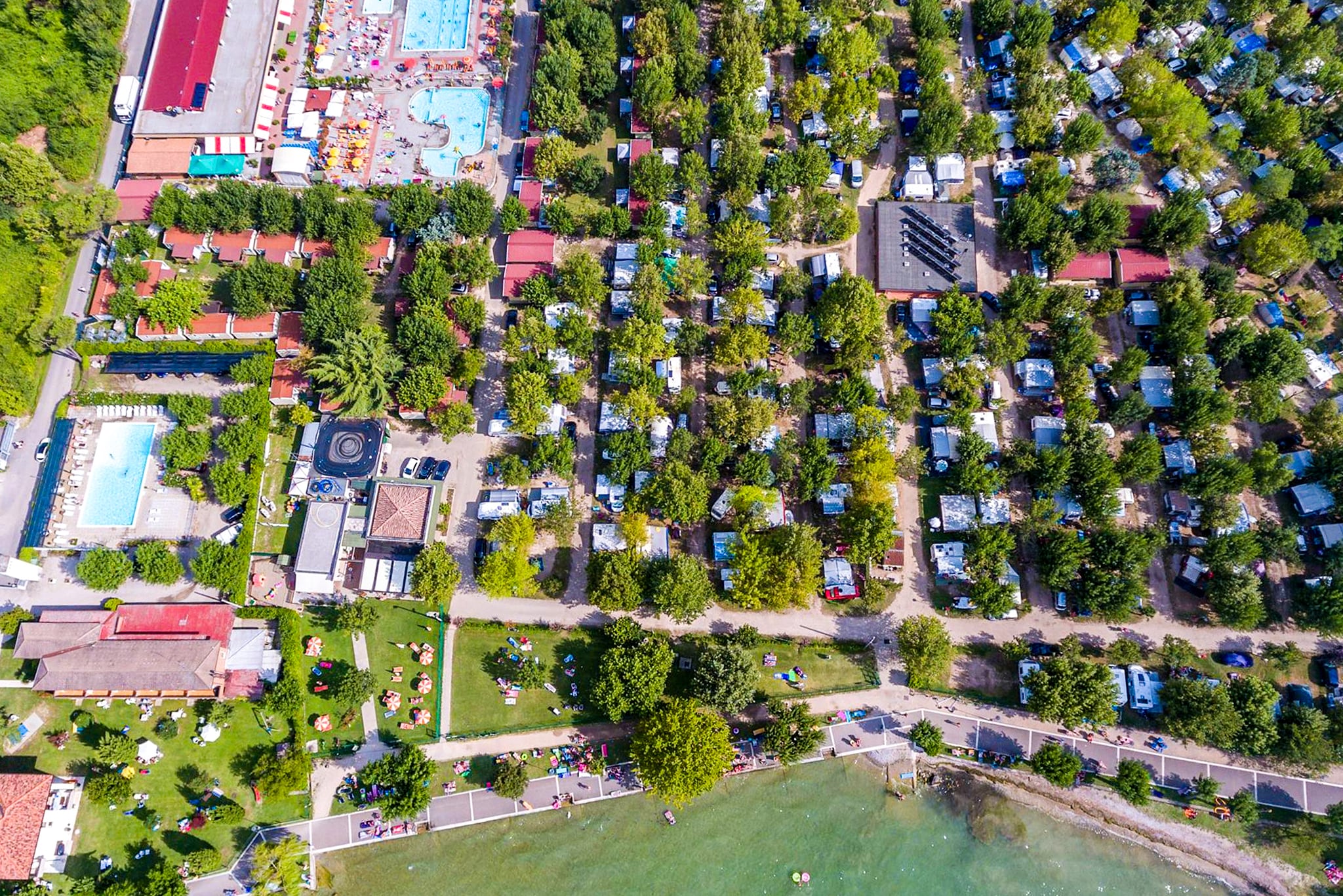
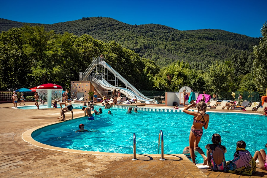
Camping Lou Broustaricq
****
ACSI Eurocamping
44.49919000
-1.07917000
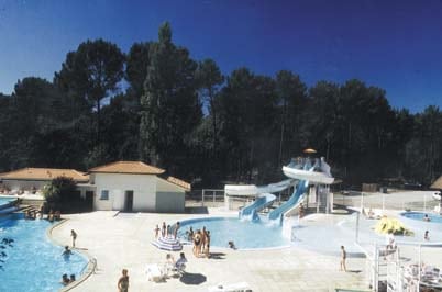
Camping Lou Broustaricq
Camping L'Île de la Comtesse
****
ACSI Eurocamping
45.63986000
5.64900000
Camping L'Île de la Comtesse
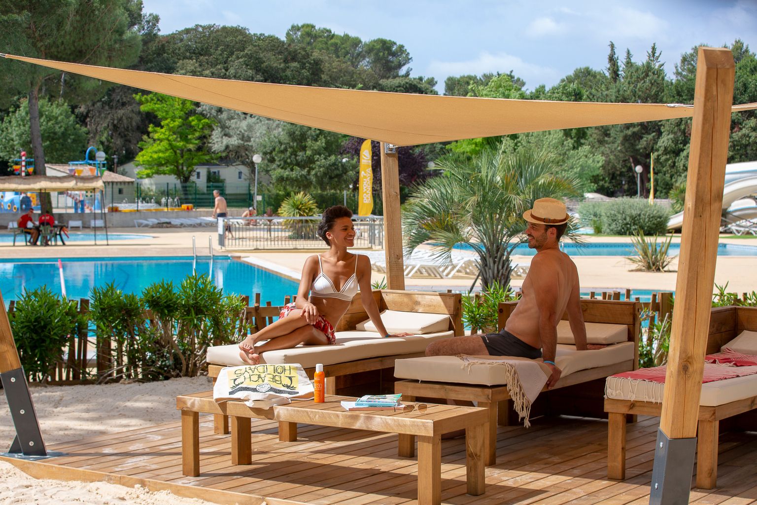
Camping Sandaya Le Plein Air des Chênes
****
ACSI Eurocamping
43.65178000
3.89614000
Camping Sandaya Le Plein Air des Chênes
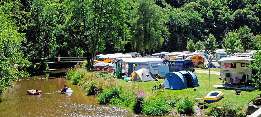
Camping Kautenbach
***
ACSI Eurocamping
49.95372000
6.02750000
Camping Kautenbach
Camping L'Ultima Spiaggia
****
ACSI Eurocamping
39.81894000
9.67075000
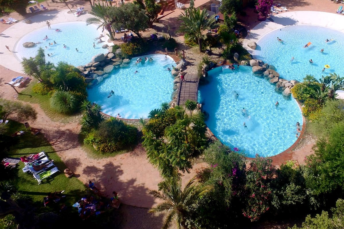
Camping L'Ultima Spiaggia
Camping Village Capalonga
****
ACSI Eurocamping
45.63097000
12.99406000
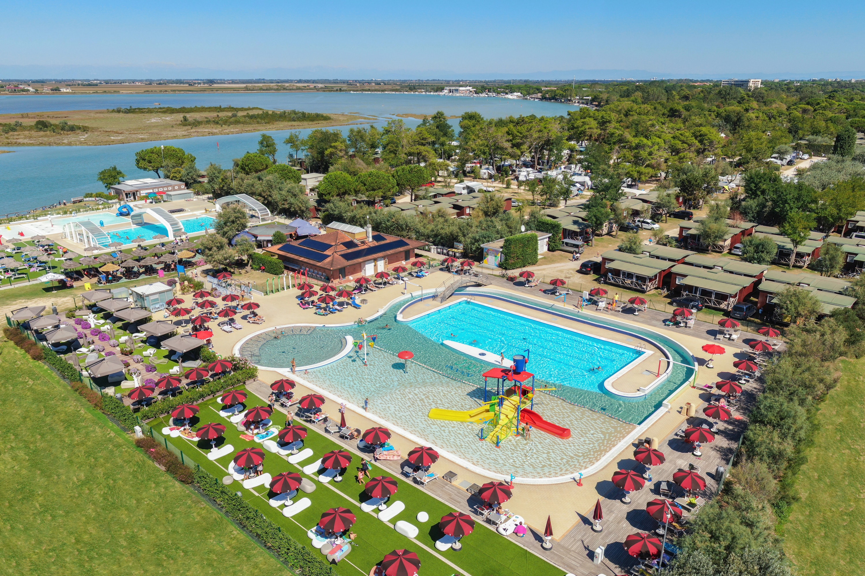
Camping Village Capalonga
Camping Atlantica - Ciela Village
****
ACSI Eurocamping
43.41564000
-1.61617000
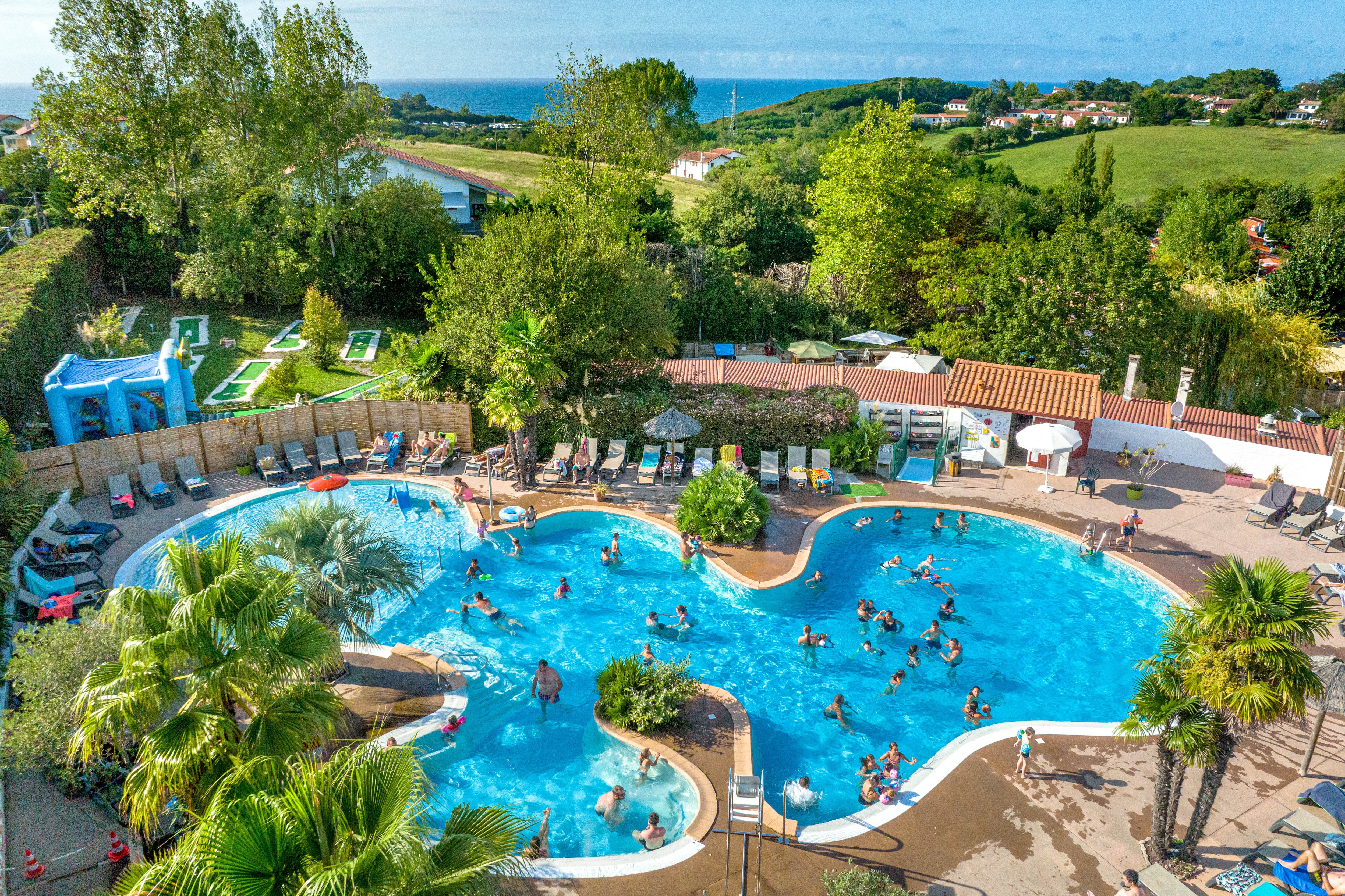
Camping Atlantica - Ciela Village
Camping Sandaya Le Ranolien
*****
ACSI Eurocamping
48.82783000
-3.47378000
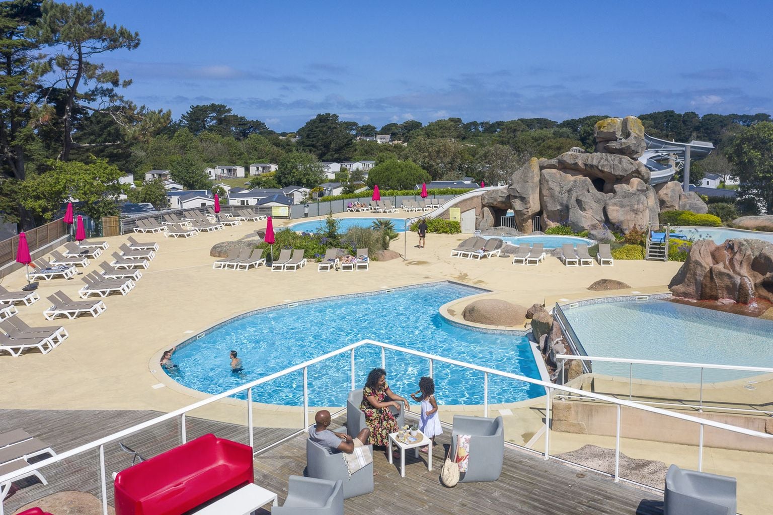
Camping Sandaya Le Ranolien
Camping Gasparina
***
ACSI Eurocamping
45.45481000
10.70200000
Camping Gasparina
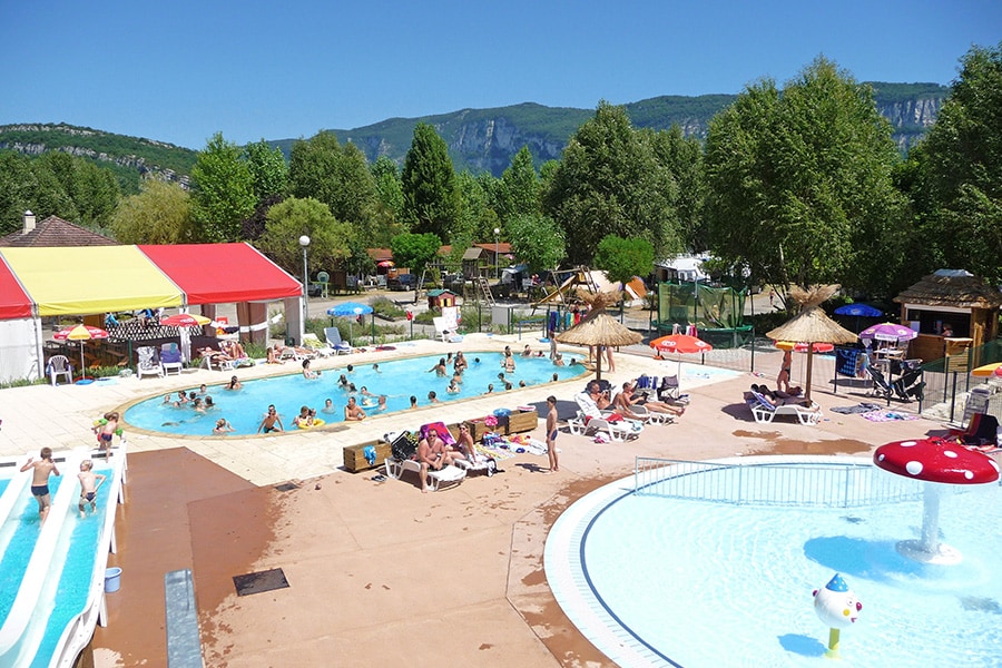
Camping Les Plans
****
ACSI Eurocamping
44.12500000
3.91861000
Camping Les Plans
Paginering
Eerste pagina
« Eerste
Vorige pagina
‹ Vorige
…
Pagina
2730
Pagina
2731
Pagina
2732
Pagina
2733
Huidige pagina
2734
Pagina
2735
Pagina
2736
Pagina
2737
Pagina
2738
…
Volgende pagina
Volgende ›
Laatste pagina
Laatste »
Abonneer op