Main navigation
Home
Caravans
Kampeershop
Alle artikelen
Barbecueën
Caravanartikelen
Chemische toiletten
Kampeerartikelen
Koken & servies
Tenten
Voortenten & luifels
Zaklampen
Deken slaapzakken
Tenten
Campings
Campings in België
Campings in Denemarken
Campings in Duitsland
Campings in Frankrijk
Campings in Griekenland
Campings in Italië
Campings in Kroatië
Campings in Luxemburg
Campings in Nederland
Campings in Noorwegen
Campings in Portugal
Campings in Slovenie
Campings in Spanje
Campings in Tsjechië
Campings in Zweden
Camping toevoegen
Bedrijven
Caravanbedrijven en dealers
Samenwerken?
Caravanbedrijf toevoegen
Camping toevoegen
Contact
Nieuws & tips
+ Verkopen
+ Inloggen
+ Registreer
Zoeken
Kruimelpad
Home
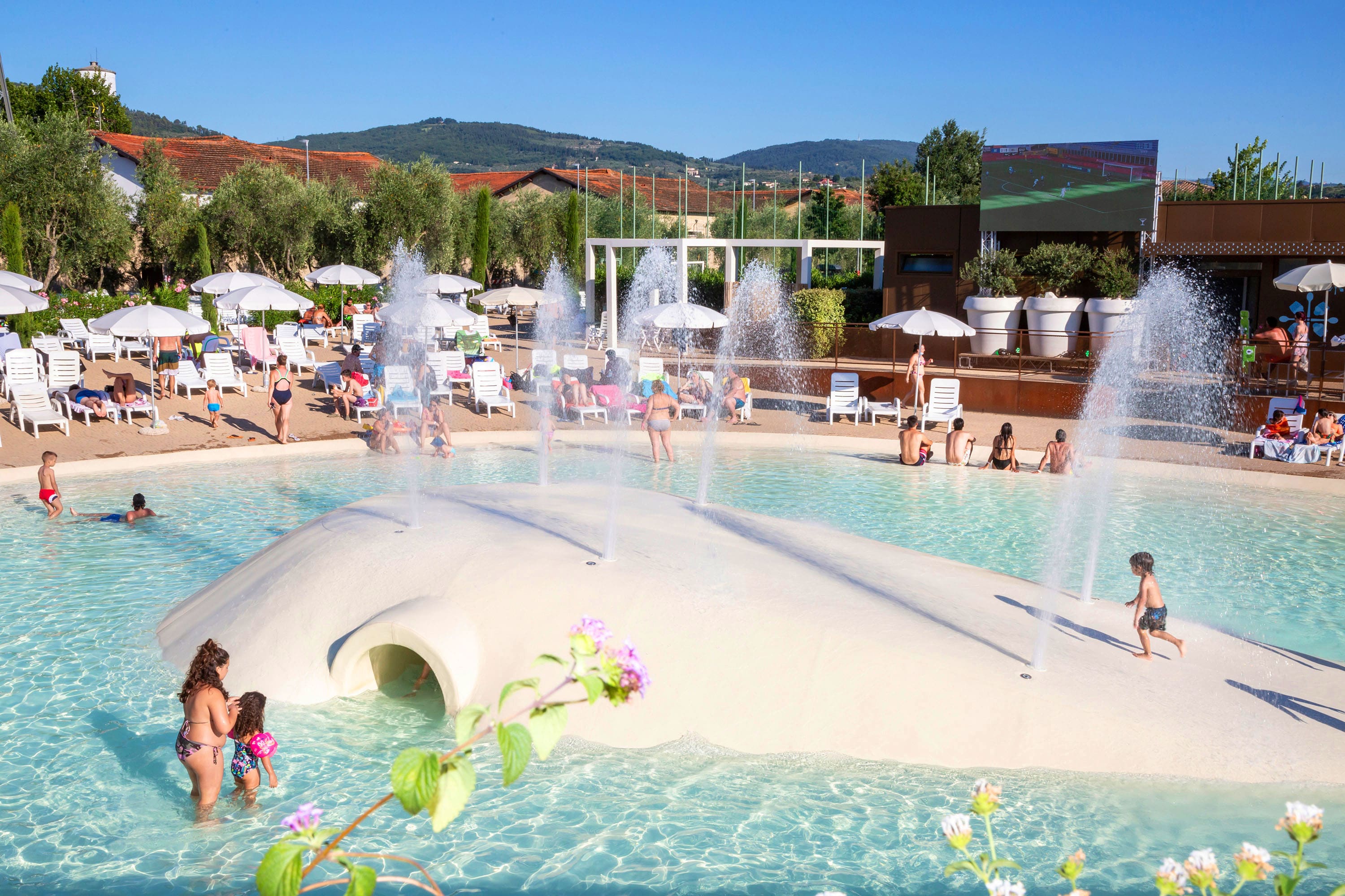
hu Firenze camping in Town
n.b.
ACSI Eurocamping
43.76558000
11.31586000
hu Firenze camping in Town
Camping Kohlhofmühl
n.b.
ACSI Eurocamping
47.89139000
15.95528000
Camping Kohlhofmühl
Seecamping Kleblach-Lind
n.b.
ACSI Eurocamping
46.76228000
13.31900000
Seecamping Kleblach-Lind
Camping Domein De Schuur
n.b.
ACSI Eurocamping
51.13233000
4.83117000
Camping Domein De Schuur
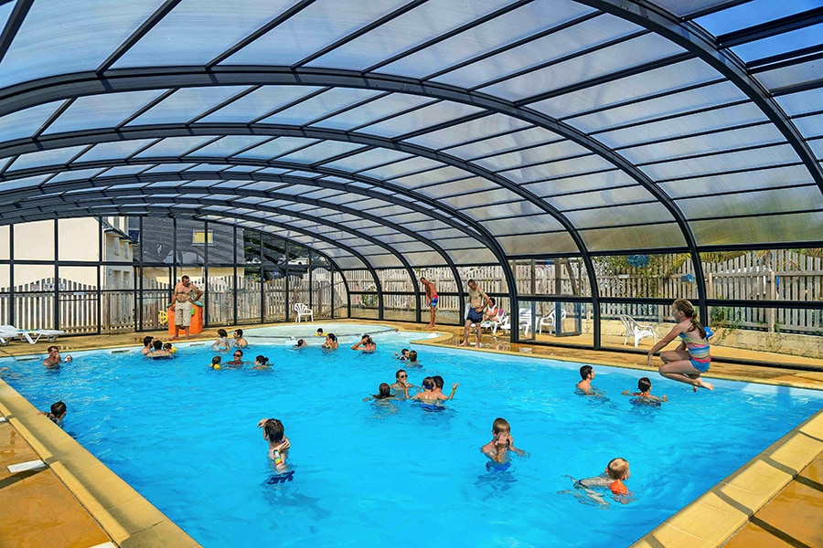
Camping Le Kergariou
***
ACSI Eurocamping
47.78281000
-3.58903000
Camping Le Kergariou
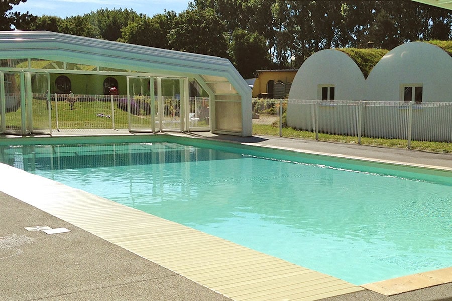
Flower Camping Le Rompval
***
ACSI Eurocamping
50.07739000
1.41447000
Flower Camping Le Rompval
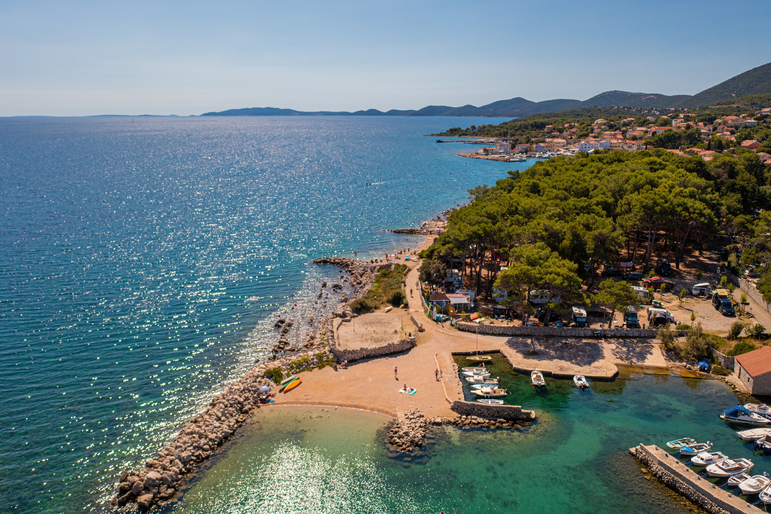
Rapoca Camping Village
***
ACSI Eurocamping
44.66358000
14.39747000
Rapoca Camping Village
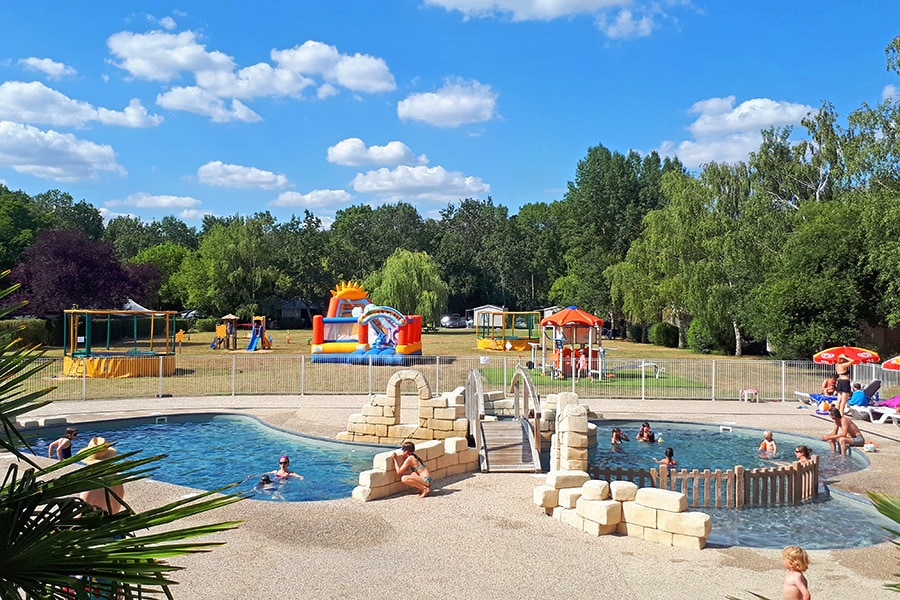
Flower Camping Les Granges
***
ACSI Eurocamping
47.38111000
0.55858000
Flower Camping Les Granges
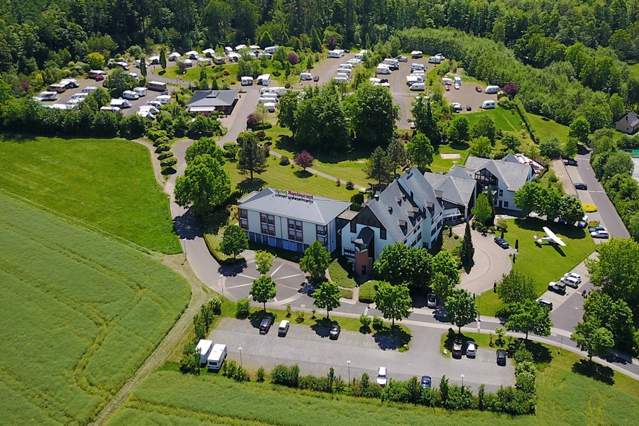
BurgStadt CampingPark
****
ACSI Eurocamping
50.06775000
7.45444000
BurgStadt CampingPark
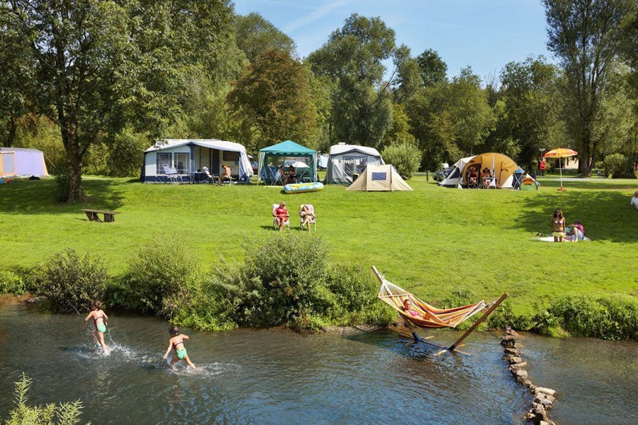
Camping de Chênefleur
****
ACSI Eurocamping
49.68492000
5.52061000
Camping de Chênefleur
Paginering
Eerste pagina
« Eerste
Vorige pagina
‹ Vorige
…
Pagina
2743
Pagina
2744
Pagina
2745
Pagina
2746
Huidige pagina
2747
Pagina
2748
Pagina
2749
Pagina
2750
Pagina
2751
…
Volgende pagina
Volgende ›
Laatste pagina
Laatste »
Abonneer op