Main navigation
Home
Caravans
Kampeershop
Alle artikelen
Barbecueën
Caravanartikelen
Chemische toiletten
Kampeerartikelen
Koken & servies
Tenten
Voortenten & luifels
Zaklampen
Deken slaapzakken
Tenten
Campings
Campings in België
Campings in Denemarken
Campings in Duitsland
Campings in Frankrijk
Campings in Griekenland
Campings in Italië
Campings in Kroatië
Campings in Luxemburg
Campings in Nederland
Campings in Noorwegen
Campings in Portugal
Campings in Slovenie
Campings in Spanje
Campings in Tsjechië
Campings in Zweden
Camping toevoegen
Bedrijven
Caravanbedrijven en dealers
Samenwerken?
Caravanbedrijf toevoegen
Camping toevoegen
Contact
Nieuws & tips
+ Verkopen
+ Inloggen
+ Registreer
Zoeken
Kruimelpad
Home
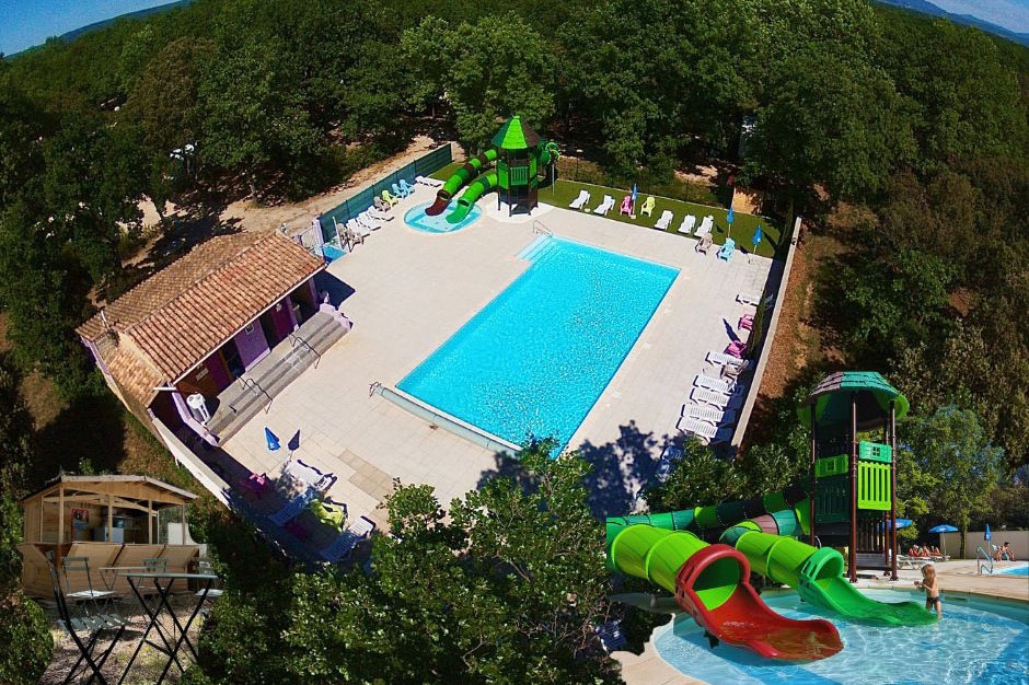
Flower Camping Les Truffières
***
ACSI Eurocamping
44.41119000
4.89100000
Flower Camping Les Truffières
Iris Park
**
ACSI Eurocamping
45.53208000
10.52764000
Iris Park
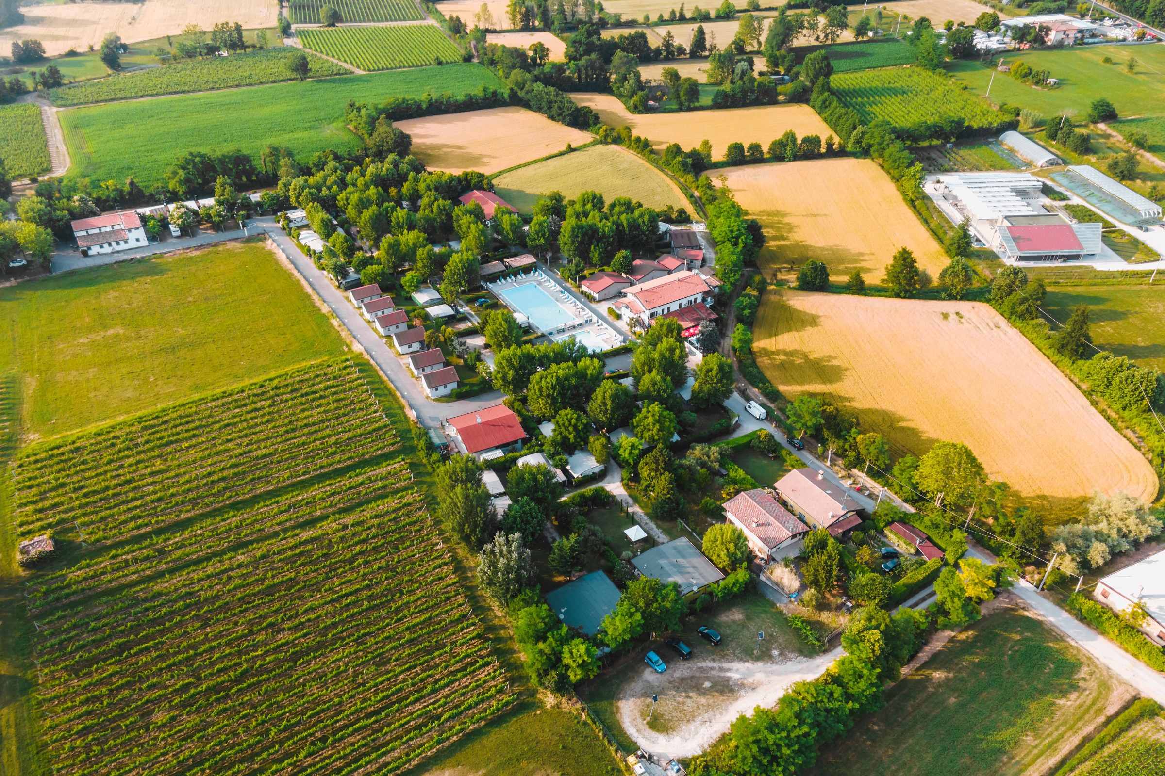
Camping Les Brugues
**
ACSI Eurocamping
43.16553000
2.02753000
Camping Les Brugues
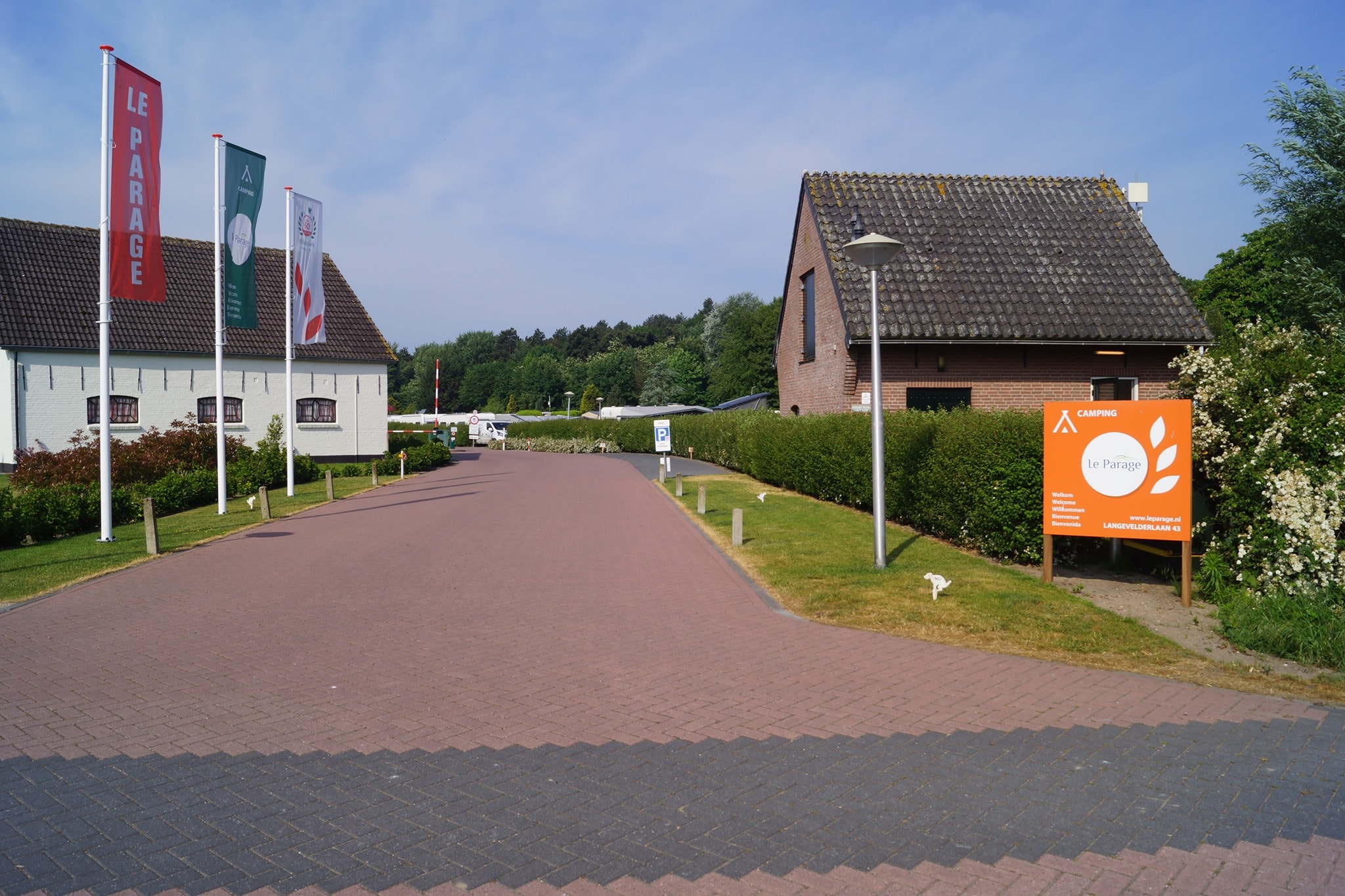
Camping Le Parage
***
ACSI Eurocamping
52.28242000
4.48669000
Camping Le Parage
RCN de Roggeberg
****
ACSI Eurocamping
52.93833000
6.34178000
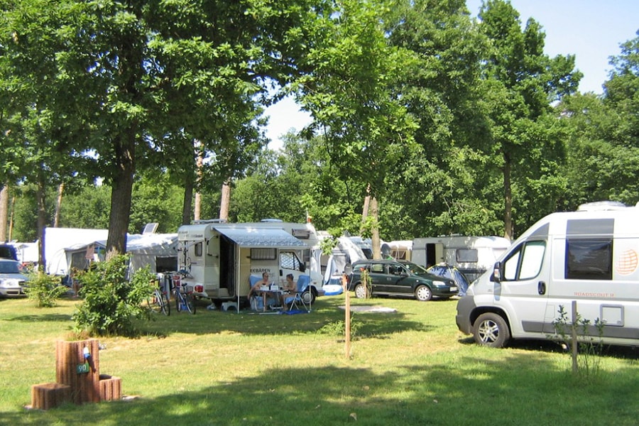
RCN de Roggeberg
Camping Il Boschetto di Piemma
***
ACSI Eurocamping
43.45361000
11.05417000
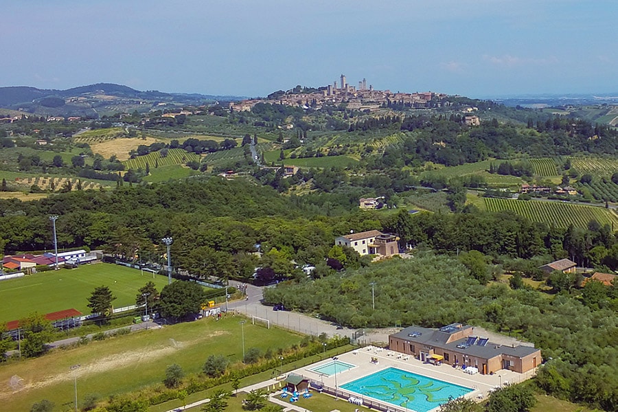
Camping Il Boschetto di Piemma
Taïga Delta de l'Ebre
Cat.2
ACSI Eurocamping
40.79936000
0.69972000
Taïga Delta de l'Ebre
Campingpark Buntspecht
****
ACSI Eurocamping
52.65417000
12.42981000
Campingpark Buntspecht
Campingplatz am Garder See
n.b.
ACSI Eurocamping
53.69206000
12.06147000
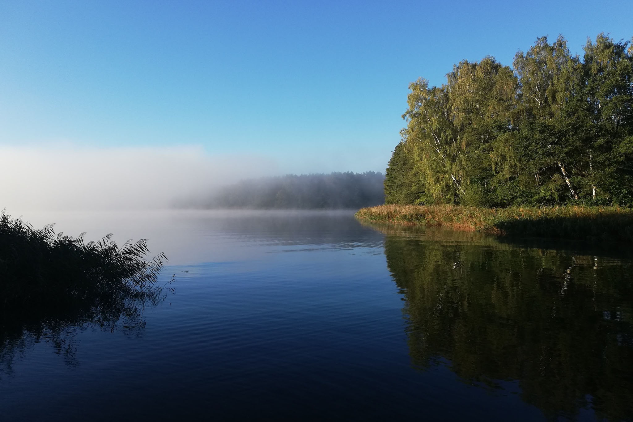
Campingplatz am Garder See
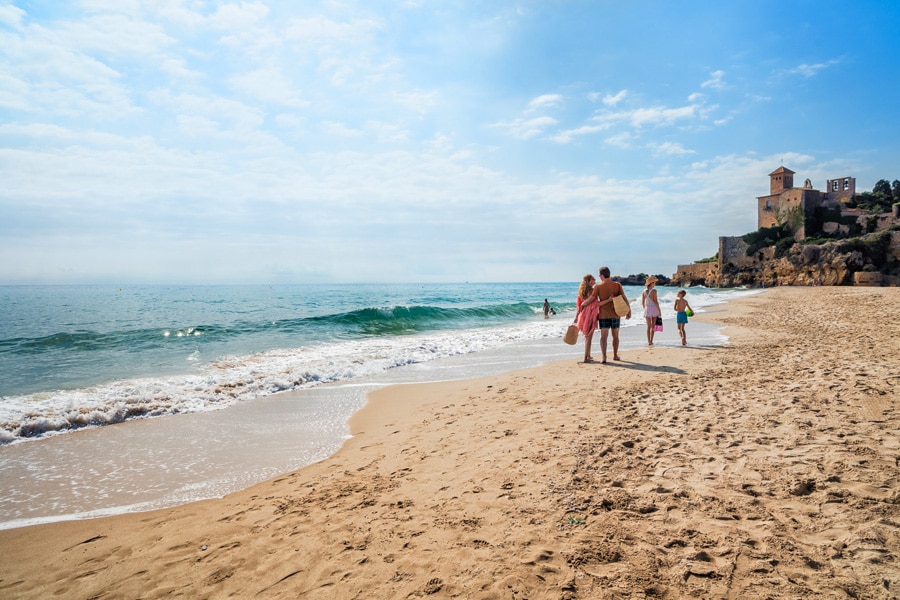
Tamarit Beach Resort
Cat.1
ACSI Eurocamping
41.13242000
1.36031000
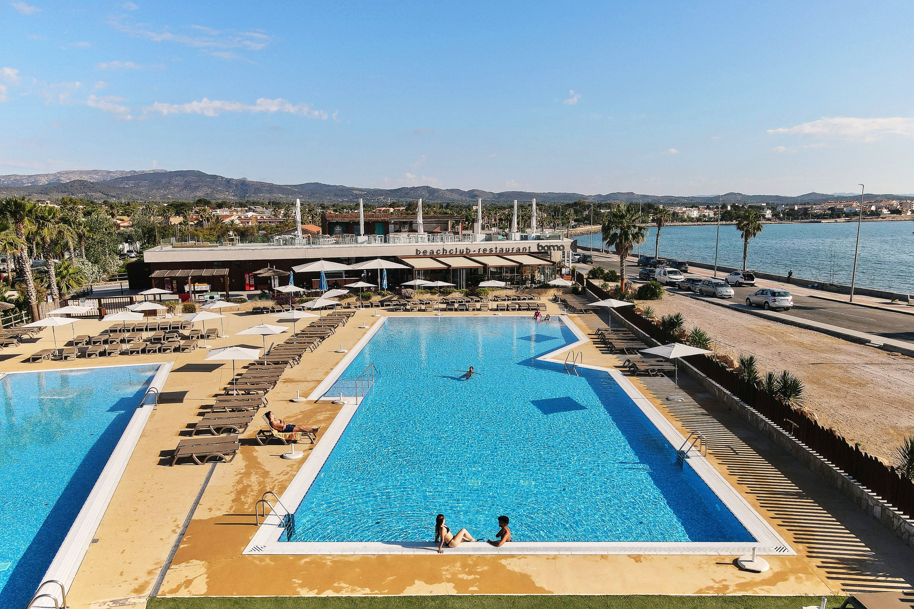
Tamarit Beach Resort
Paginering
Eerste pagina
« Eerste
Vorige pagina
‹ Vorige
…
Pagina
2747
Pagina
2748
Pagina
2749
Pagina
2750
Huidige pagina
2751
Pagina
2752
Pagina
2753
Pagina
2754
Pagina
2755
…
Volgende pagina
Volgende ›
Laatste pagina
Laatste »
Abonneer op