€ 14.99
Reisgids Michelin groene gids weekend Madrid | Lannoo

Voor wie slechts één compacte stadsgids in zijn tas wil stoppen en toch geen enkele bezienswaardigheid of topadres wil missen. Dé gids om Madrid écht te ontdekken: de plaatsen waar u de stad in zijn authenticiteit proeft, de evenementen van het ogenblik, de heerlijkste shoppingadressen...


En daarbovenop, een handige kaart van het openbaar vervoer en een uitneembaar stadsplan waarop alle in de gids besproken restaurants en hotels zijn aangeduid.

€ 25.95
Reisgids Wild Swimming Italy | Wild Things Publishing

The 'Wild Swimming' series travels to Italy to explore freshwater lakes, mountains and lagoons. Dip into the emerald-green plunge pools of Sicily and swim at river beaches in Campania. Discover the secret hot springs of Tuscany and amazing waterfalls of the Dolomiti, and explore the hidden shores Lake Como and Garda.

The Wild Swimming series travels to Italy to explore freshwater lakes, rivers, waterfalls and hot springs.


• Dip in to the emerald-green plunge pools of Sicily and swim at river beaches in Campania

• Discover the secret hot springs of Tuscany and amazing waterfalls of the Dolomiti

• Explore the hidden shores of Lake Como and Garda


Perfect for family explorers or romantic adevnturers, this stunning travel book combines beautiful photography with all the practical information you’ll need to get off the beaten track, including maps, directions, grid references and walk-in times. There are also recommendations for canoe trips, campsites and tavernas.

€ 17.50
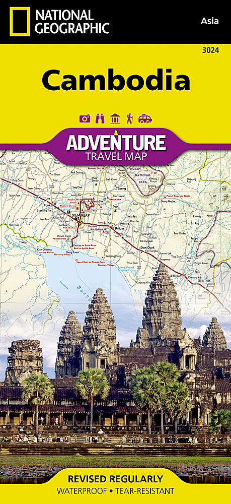
Wegenkaart - landkaart 3024 Adventure Map Cambodia - Cambodja | National Geographic

Mooie, heldere kaart van Cambodja,  gedrukt op scheurvast en watervast papier.

National Geographic's Cambodia Adventure Map is designed to meet the needs of adventure travelers with its durability and detailed, accurate information. This map includes the locations of cities and towns with a user-friendly index, a clearly marked road network complete with distances and designations for roads/highways, plus secondary routes for those seeking to explore off the beaten path. Adventure Maps differ from a traditional road map because of the specialty content they include. Each map contains hundreds of diverse and unique recreational, ecological, cultural, and historic destinations — outside of the major tourist hubs. National Geographic Adventure Maps are the perfect companion to a guidebook, yet far easier to pack!


Cambodia is perhaps best know to international travelers as the home of the Angkor empire for six hundred years. Angkor Wat and Angkor Thom are part of the vast temple complex of Siem Reap. These historical monuments draw millions of visitors annually. Cambodia is also know for it nearly empty white sand beaches on the Gulf of Thailand. These tourist destinations are combined with thousands of towns from small hamlets to the capital of Phnom Penh on this detailed map. The east side of the printed map includes the Mekong River and the border area shared with Vietnam and Laos. The west side includes the capitol of Phnom Penh, Angkor Wat, ocean beaches, and Tonle Sap Lake.


Every Adventure Map is printed on durable synthetic paper, making them waterproof, tear-resistant and tough — capable of withstanding the rigors of international travel.


All proceeds from the purchase of a National Geographic map help support the Society's vital exploration, conservation, scientific research, and education programs.

Map Scale = 1:525,000


€ 17.50
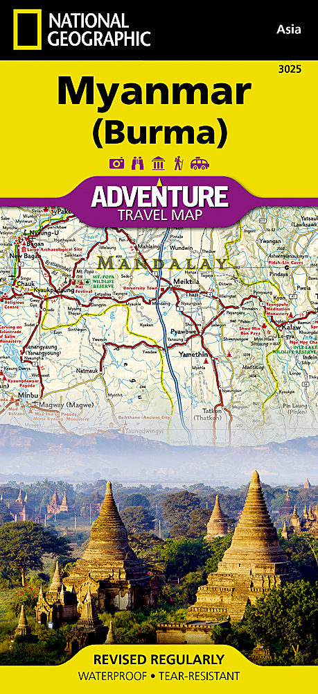
Wegenkaart - landkaart 3025 Adventure Map Myanmar - Birma | National Geographic

Mooie, heldere kaart van Myanmar, gedrukt op scheurvast en watervast papier.


National Geographic's Myanmar (Burma) Adventure Map is designed to meet the needs of adventure travelers with its durability and detailed, accurate information. This map includes the locations of cities and towns with a user-friendly index, a clearly marked road network complete with distances and designations for roads/highways, plus secondary routes for those seeking to explore off the beaten path. Adventure Maps differ from a traditional road map because of the specialty content they include. Each map contains hundreds of diverse and unique recreational, ecological, cultural, and historic destinations — outside of the major tourist hubs. National Geographic Adventure Maps are the perfect companion to a guidebook, yet far easier to pack!


Myanmar is a country with a varied landscape. From the highest peak, Hkakabo Razi, in the Hengduan Shan mountains on the border with China to the lowlands at the mouth of the Ayeyarwady River, Myanmar has almost every imaginable environment. Myanmar is bordered on the east by China and Thailand and on the west by India and a small section of Bangladesh. This crossroads of cultures has made this newly opened country a true adventure destination.


The map covers the long history of Myanmar in great detail. Over the centuries the capital of Burma has moved from Bagan in 1044 to Mandalay and finally to its current location in Yangon (Rangoon). The north side of printed map includes the most mountainous area of Myanmar on the doorstep of the Himalayas. It also includes the old royal capital of Mandalay. The south side of the printed map includes the current capital of Yangon as well as the long border with Thailand and the hundreds of islands of the Myeik Archipelago.


Every Adventure Map is printed on durable synthetic paper, making them waterproof, tear-resistant and tough — capable of withstanding the rigors of international travel.


All proceeds from the purchase of a National Geographic map help support the Society's vital exploration, conservation, scientific research, and education programs.

Map Scale = 1:1,480,000

Sheet Size = 25.5" x 37.75"

Folded Size = 4.25" x 9.25"

€ 13.95
Wandelkaart 11 Durbuy | Mini-Ardenne

Wandelkaart voor Barvaux, Bomal, Erezee, Ferrieres, Hotton, Sy, Tohogne, Val de l'Aisne, Val de l'Ourthe en Vieuxville.


Handige overzichtelijke wandelkaart op een schaal van 1:25.000 van een deel van de Ardennen. In deze kaartenserie hebben de makers gekozen voor een belangrijke toeristische plaats als basis van de kaart. Naast een groot aantal ingetekende wandelroutes en paden met markering en knooppunten staan er ook toeristische bezienswaardigheden op en campings. Aan de zijkant van de kaart is er een handig klein overzicht wat er per plaats aanwezig is. 


Let wel op dat de verschillende kaarten uit deze serie niet direct aansluiten. (zie overzicht van deze serie)  Daarom zijn deze wandelkaarten vooral geschikt om vanuit een vast standplaats als camping of huisje te gebruiken. 


Van de uitgever:


De wandelkaarten van Mini-Ardenne zijn volledig nieuw en op schaal 1/25000. De kaarten doen u belanden in een netwerk van honderden kilometers paden voor wandelaars, fietsers en ruiters. Door het gebruik van knooppunten (elk knooppunt is gelinkt aan een plaats), kunnen zowel de beginnende als de geoefende wandelaars de Ardennen en zijn fantastische sfeer ontdekken door middel van kleine en grote lus-vormige wandelingen.


Geografische gegevens ©ODbL OpenStreetMap Contributors

Reliëf en hoogtelijnen met een interval van 5 meter

Alle teksten in het Frans, Nederlands, Duits en Engels

Veelheid aan interessante locaties (restaurants, hotels, vakantiewoningen, bakkers, slagers, eetcafés, apothekers, warenhuizen, kastelen, musea, kerken, kruisen, kapellen, stations, speelpleinen, picknicktafels, barbecues, enz.)

Extra aanduidingen (private wegen, fietspaden, parkings, zitbanken, enz.)

Afstand in kilometer bij elke sectie (tussen twee knooppunten) om de totale lengte van de route te berekenen

QR codes die linken naar de website van mini-ardenne: www.mini-ardenne.be die alle bezienswaardigheden in de desbetreffende stad weergeven

€ 26.50
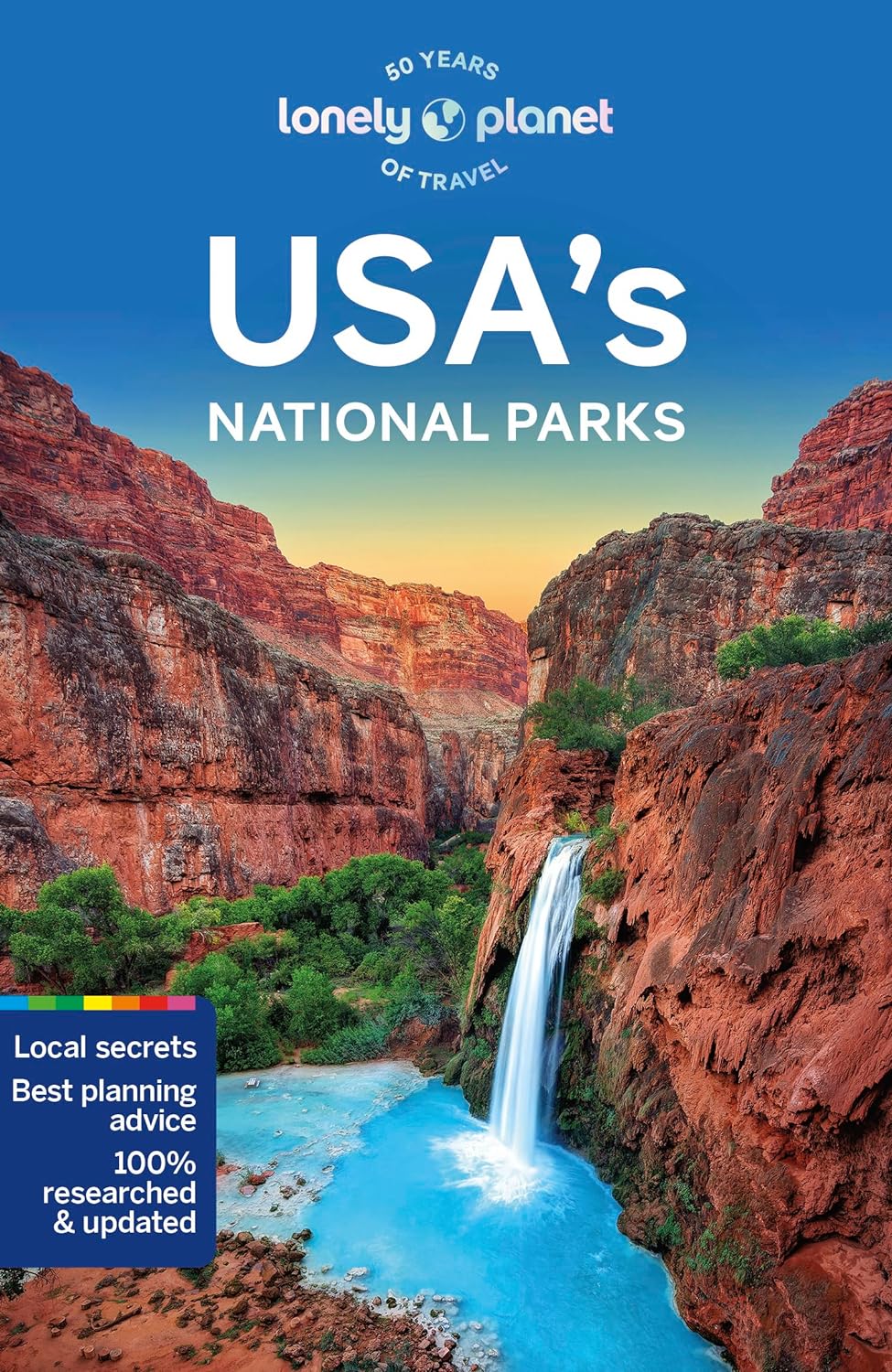
Reisgids USA's National Parks | Lonely Planet

De perfecte reisgids voor zowel de georganiseerde als de zelfstandige reiziger. Naast een algemene inleiding van het land / streek vol met praktische informatie over hoe je er het beste kunt reizen: slapen, eten, vervoer, excursies ... alles kun je er in vinden. Engelstalig. Lonely Planet

Lonely Planet's USA's National Parks is your passport to the most relevant, up-to-date advice on what to see and skip, and what hidden discoveries await you. Hike beautiful Yosemite, marvel at the Grand Canyon and spot volcanoes in Hawai'i; all with your trusted travel companion. Get to the heart of USA's National Parks and begin your journey now!


Inside the Lonely Planet's USA's National Parks Travel Guide:


User-friendly highlights and itineraries help you tailor your trip to your personal needs and interests


Insider tips to save time and money and get around like a local, avoiding crowds and trouble spots


Essential info at your fingertips - hours of operation, phone numbers, websites, transit tips, prices, emergency information, park seasonality, hiking trail junctions, viewpoints, landscapes, elevations, distances, difficulty levels, and durations


Focused on the best hikes, drives, and cycling tours


Honest reviews for all budgets - eating, sleeping, camping, sightseeing, going out, shopping, summer and winter activities, and hidden gems that most guidebooks miss


Contextual insights give you a richer, more rewarding travel experience - history, geology, wildlife, and conservation


Over 52 full-color trail and park maps and full-color images throughout


Useful features- Travel with Children,Clothing and Equipment, andDay and Overnight Hikes


Covers California, The Southwest, Alaska and the Pacific Northwest, Rocky Mountains, Great Lakes and Great Plains, New England and the Mid-Atlantic, The South, Florida, Hawaii


The Perfect Choice: Lonely Planet's USA's National Parks, our most comprehensive guide to these US national parks, is perfect for both exploring top sights and taking roads less traveled.


Looking for more extensive coverage? Check out Lonely Planet's USA for a comprehensive look at all the country has to offer.


Looking to visit more North American national parks? Check out USA's National Parks, a new full-color guide that covers all 59 of the USA's national parks.


Just looking for inspiration? Check out Lonely Planet's National Parks of America, a beautifully illustrated introduction to each of the USA's 59 national parks.


About Lonely Planet: Lonely Planet is a leading travel media company, providing both inspiring and trustworthy information for every kind of traveler since 1973. Over the past four decades, we've printed over 145 million guidebooks and phrasebooks for 120 languages, and grown a dedicated, passionate global community of travelers. You'll also find our content online, and in mobile apps, videos, 12 international magazines, armchair and lifestyle books, ebooks, and more, enabling you to explore every day.


€ 18.99
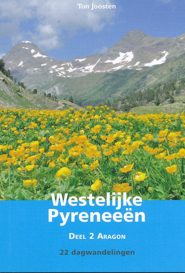
Wandelgids Westelijke Pyreneeën - Aragon deel 2 | Uitgeverij Elmar

De Pyreneeën zijn een uitgelezen gebied voor wandelaars die willen genieten van een onbedorven bergwereld met zijn rijke flora en fauna en gevarieerde landschappen. Geen enkele streek is hetzelfde, elke vallei is anders. In de Pyreneeën blijf je wandelen en raak je nooit uitgekeken!


De 22 dagwandelingen in dit deel betreffen Aragon (Spanje).


Pyreneeënspecialist Ton Joosten selecteerde het beste van het beste. Maar de gids bevat meer dan een opsomming van wandelroutes. Tevens wordt uitgebreide informatie verstrekt over bezienswaardigheden, standplaatsen, herbergen, berghutten en campings, met internetadressen.

€ 15.50
Wandelgids Eifel Camino | Conrad Stein Verlag

Een handzame wandelgids van een belangrijke Pelgrimsweg van Andernach naar Trier dwars door de Eifel. Goede beschrijvingen met heel wat praktische informatie met o.a. hoogteprofielen per etappe. Kaartmateriaal is enigzins beperkt.

Bereits im Mittelalter verlief eine bedeutende Pilgerroute durch die Eifel von Andernach am Rhein über die ehemalige Römerstraße in Richtung Trier. Der heute markierte, 160 km lange Eifel-Camino folgt diesem Weg und führt von Namedy über Andernach, Mayen, Kaisersesch, Wittlich, Klausen und Schweich bis zum Grab des Apostels Matthias in Trier. In diesem Pilgerführer werden acht Etappenvorschläge sowie Zubringerwege und Varianten ausführlich beschrieben. Darüber hinaus enthält er zahlreiche Informationen über die Sehenswürdigkeiten entlang der Strecke, Unterkunftsmöglichkeiten sowie Verkehrsanbindungen. Karten und Höhenprofile ergänzen die detaillierte Wegbeschreibung und helfen bei der Orientierung. 


€ 17.95
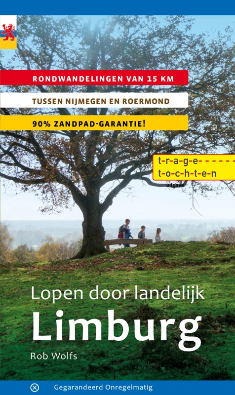
Wandelgids Lopen door landelijk Limburg | Gegarandeerd Onregelmatig

In deze wandelgids rekent Rob Wolfs af met het vooroordeel dat Noord- en Midden-Limburg slechts gebieden zijn waar je doorheen moet rijden om in Zuid-Limburg te komen. In 18 prachtige routes laat hij zien dat het de moeite loont om eerder uit te stappen. Kuier door pittoreske plaatsjes in het Maasdal en ontdek de wouden rond de Limburgse meren.

Een onontdekte wereld waar de schaapsherderin haar schapen hoedt en menig café over een duimendikke bierkaart beschikt. Een lofzang op landelijk Limburg. Rob Wolfs is de ongekroonde koning van het zandpad. Dit is alweer zijn zesde gids met ‘zandpadgarantie’: al zijn routes gaan zoveel mogelijk over paden waar de wandelaar niet gestoord wordt door mountainbikes, of elektrische fietsen. Gegarandeerd genieten van zandpaden!

Goede wandelgids met veel informatie, goede beschrijvingen en uitstekende topografische kaarten met de route keurig ingetekend.

Rondwandelingen van ca 15. km

Tussen Nijmegen en Roermond

90% zandpad garantie

€ 20.95
Wandelkaart 9 Outdoorkartan Gäddede - Hotagsfjällen - Föllinge | Norstedts

Een nieuwe serie detailkaarten voor de outdoor gebieden van Zweden, zowel de fjall en bergebieden als de interessante kano en hiking gebieden zuidelijker in Zweden zijn hierop afgebeeld. Gedrukt op scheur- en watervast papier. 

Deze kaarten zijn geheel gemaakt voor de wandelaar: alle routes zijn ingetekend, zo ook de hutten, campings, bruggen, zomer- en winterpaden, hulplijnen en routes die geschikt zijn voor snowmobiling.


De schaal van de wandelkaarten van Noord-Zweden zijn 1:75 000 en Zuid-Zweden 1:50 000

Abonneer op