€ 19.95
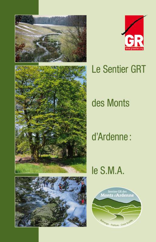
Wandelgids Le Sentier GRT des Monts d'Ardenne SMA | GR Sentiers

Alhoewel we in onze Ardennen geen "bergen" kennen in de echte zin van het woord, kan het er toch aardig op en neer gaan. Heel wat "bergwandelaars" trekken regelmatig Wallonië in om er langs GR-routes met een- of meerdaagse tochten hun conditie aan te scherpen. Dagtochten met 500+ hoogtemeters zijn er geen uitzondering.

De Ardennen zijn dan ook het ideale oefenterrein voor de liefhebbers van bergtochten. Vandaar ook het idee om de 3 hoogste toppen van het Ardennenmassief te verbinden via de bestaande GR-paden.Het Ardense Bergenpad (Sentier des Monts d'Ardenne - SMA) slingert zich over 225 km van het Signal de Botrange in het oosten van de provincie Luik, naar de Baraque Fraiture in het noorden van de provincie Luxemburg, en verder naar het Croix Scaille in het zuiden van de provincie Namen.

Na het Trappistenpad (Sentier des Abbayes Trappistes) is het SMA het tweede thematische GR-pad dat de Ardennen doorkruist. Het pad maakt hoofdzakelijk gebruik van bestaande GR-paden. Komen aan bod: GR 573 / GR 56 / GR 14 / GR 151 /GR 577 / GR 129 en GR 126.Tijdens het volledige traject wordt 6600 m gestegen en 6700 m gedaald. Het hoogteverschil tussen het hoogste en het laagste punt op het traject bedraagt bijna 550 m. Het zijn nog altijd geen Alpijnse cijfers, maar om de SMA te overwinnen zal je toch menige kuitenbijter moeten trotseren.Deze gids is Franstalig

€ 32.50
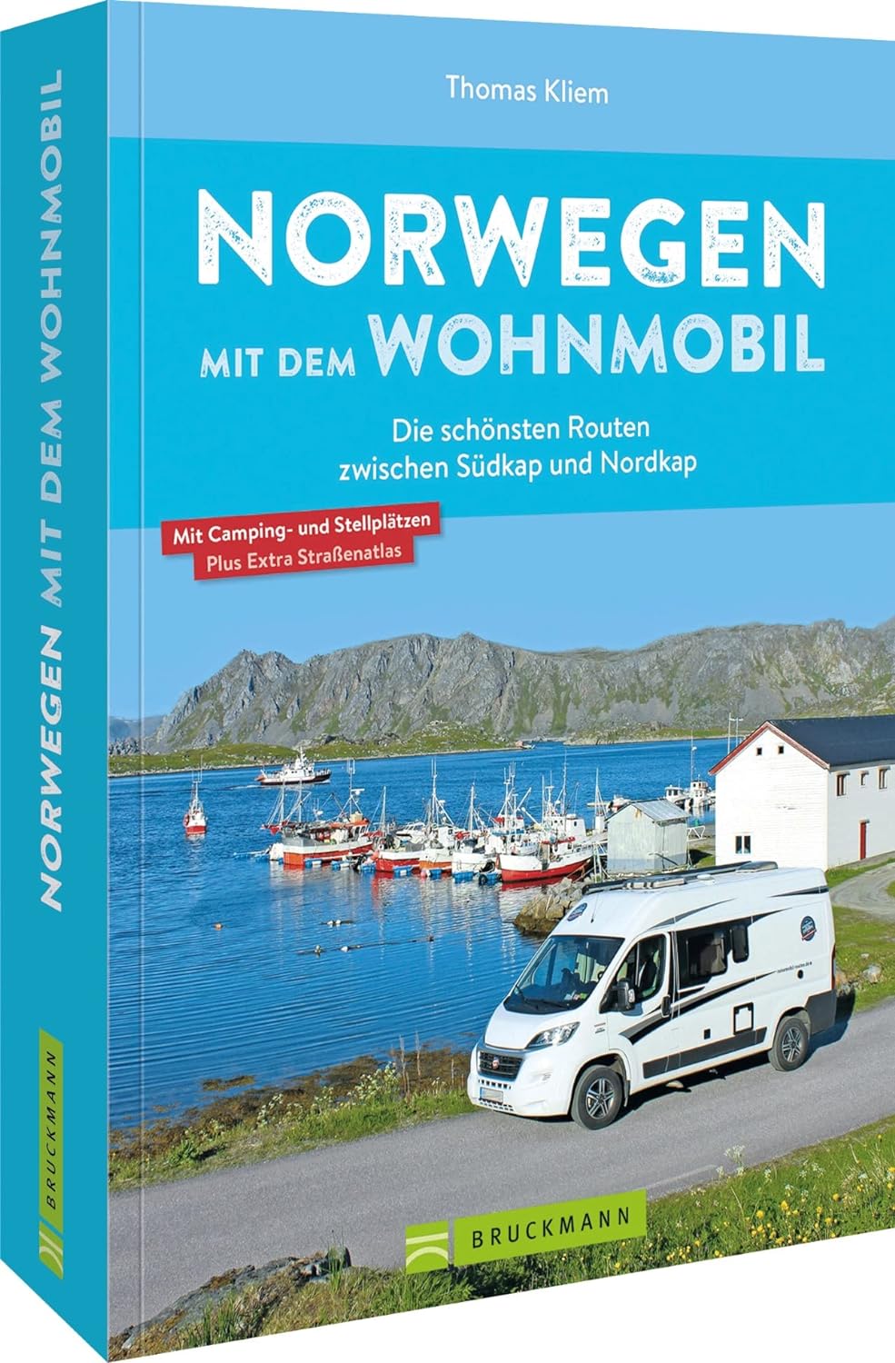
Campergids Mit dem Wohnmobil Norwegen | Bruckmann Verlag

Een campergids van Noorwegen, vooral gericht op routesuggesties en tips voor de mooiste plekken waar je je camper neer kunt zetten.

Traumziel Norwegen dieser Reiseführer stellt sechs der schönsten Routen vor alle bestens geeignet für Wohnmobile. Detailliert beschrieben führen die Touren, teilweise abseits ausgetretener Touristenpfade, über reizvolle Strecken zu landschaftlichen und kulturellen Attraktionen. Auf individuellen Touren führt unser Wohnmobilexperte Sie durch Region. Die Detailkarte zu jeder Tour hilft bei der Orientierung, Streckenleisten und Straßenatlas im Anhang zeigen detailliert die Route zum Nachfahren. Stell- und Campingplätze sind am Ende jeder Tour ausführlich und mit GPS-Koordinaten beschrieben und im Straßenatlas verzeichnet.


€ 12.95
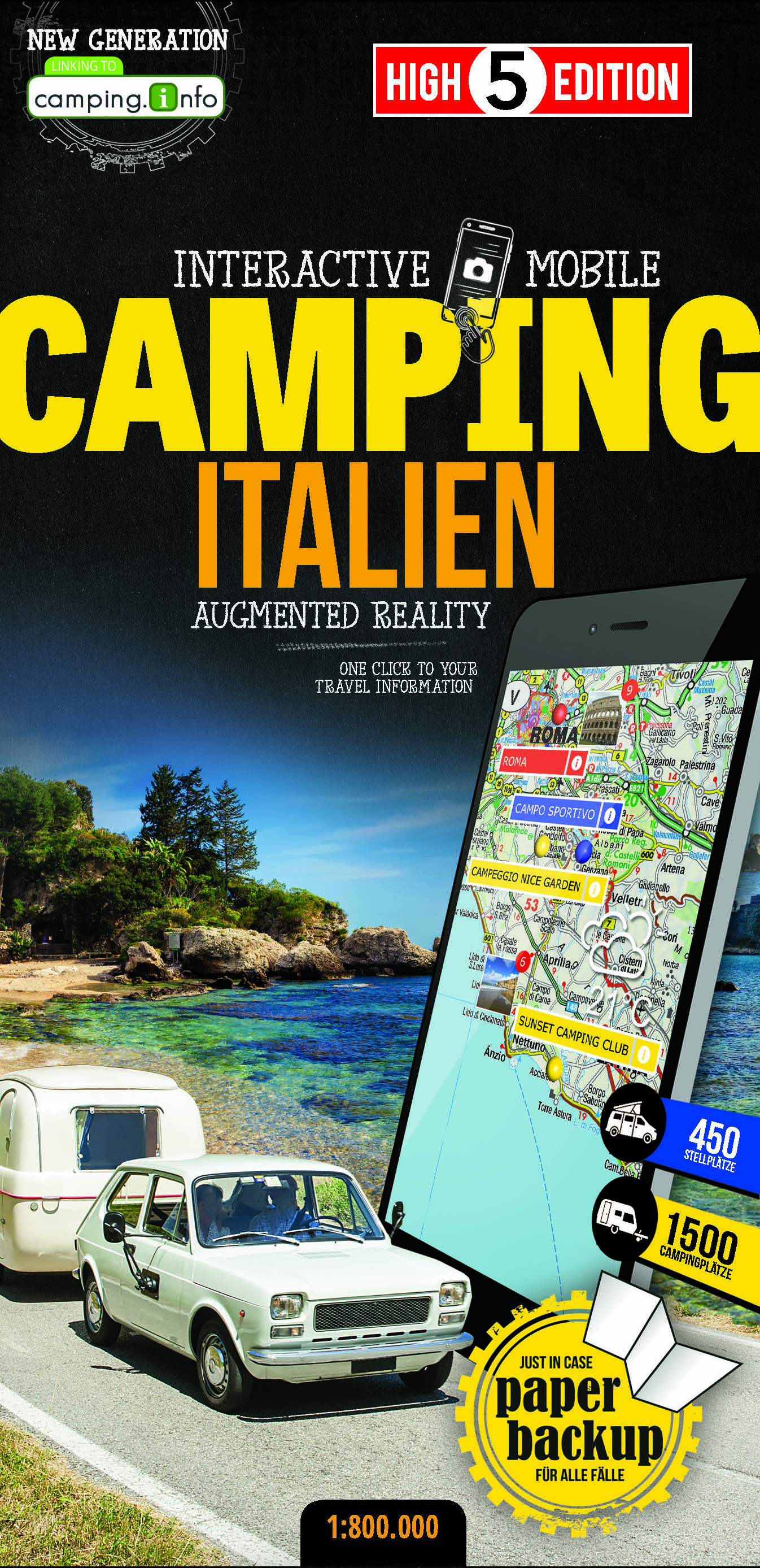
Camperkaart - Wegenkaart - landkaart Italien - Italië | High 5 Edition

The first water-resistant campingmap with direct access to useful information about campsites and motorhome sites via Smartphone


Italy, including Sardinia and Sicily, in a scale of 1:800,000 shown on a practical map. With the High 5 Edition app you can display campsites and motorhome sites directly on the map. Thanks to filter functions you can adapt the displayed sites to your needs. Just one click takes you to camping.info, where you can find lots of useful information and guest reviews for the respective site. You can profit from the clear arrangement of the map as well as from always up-to-date information, the unmatched quantity of data and the wealth of information.


More benefits are its practical format (11.4 x 23.5 cm) as well as its indestructibility and water resistance thanks to lamination/cellophane coating.


The “Interactive Mobile CAMPINGMAP Italy” – a “paper backup” just in case...

... and when used in conjunction with a smartphone, it is a great tool for planning trips.


What’s not on the map is in the app

Besides information about campsites and motorhome sites you can also gather information about major attractions and cities in Italy, see the current weather forecasts and project your own photos on the map. The High 5 Edition app is based on Augmented Reality technology and is available free of charge from the Apple App store and Google Play store.

€ 5.95
Wandelgids Walks Orkney | Hallewell Publications

Zeer handzaam gidsje met 40 wandelingen op de Okrneys. Handig als je een paar dagen op elk eiland verblijft. Verwacht geen lange wandelingen, maar je komt zo wel in de buurt van alle hoogtepunten.

This guide brings together a selection of the best walks in Orkney. The walks include cliff-top and beach walks, as well as routes through farmland and hill climbs.

€ 9.95
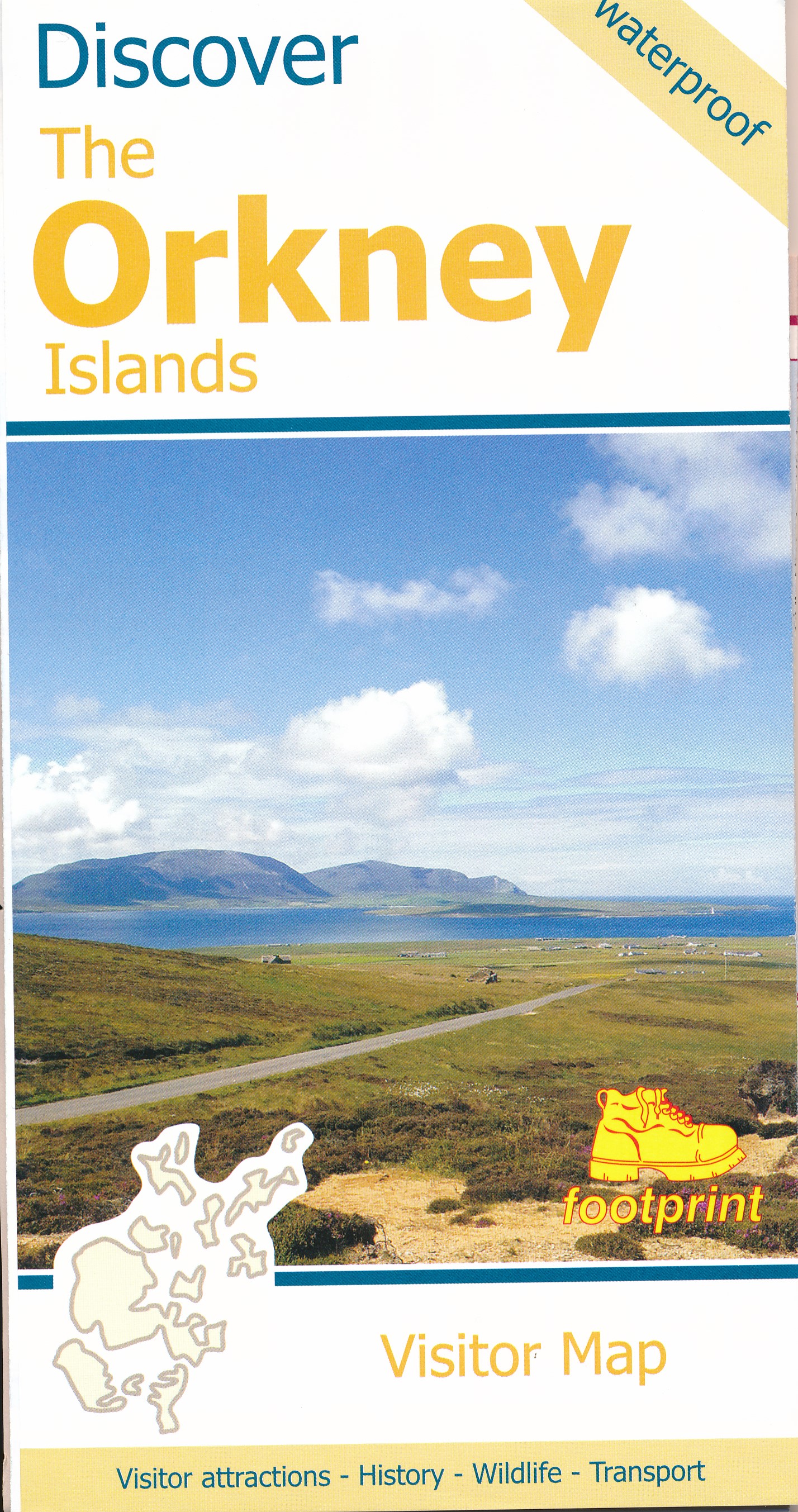
Wegenkaart - landkaart Discover the Orkney Islands | Footprint maps

A group of islands close to the north coast of Scotland, Orkney has a visible history spanning more than 5500 years. From the world’s best preserved Neolithic settlement at Skara Brae, through numerous Bronze Age stone circles and burial mounds, Iron Age brochs, Medieval churches and cathedrals, to the remains from more recent events during two World Wars, there is almost too much to see.


The scenery is outstanding. A wild coastline (the Old Man of Hoy is one one islands most iconic images) is backed by a surprisingly rich and fertile countryside. From Mainland (the largest and most populated island) ferries run regular services to a further twelve islands (and three more can be reached by causeway). Wildlife is abundant, particularly sea birds and mammals such as seals, dolphins and whales. Most of the islands are low lying with good road networks, making exploring by car, bicycle or foot easy.


€ 9.95
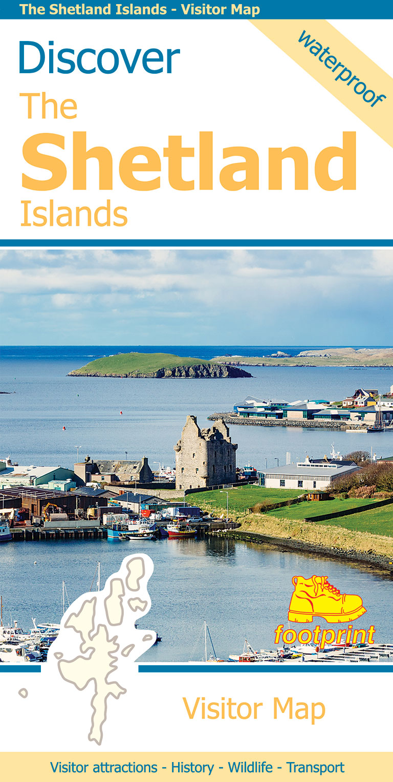
Wegenkaart - landkaart Discover the Shetlands Islands | Footprint maps

This map is the perfect companion to take for exploring the Shetland Islands. It is packed with lots of information on where to find the best that this group of islands has to offer visitors.


There is a wide range of wild landscapes: from magnificent coastlines with some of the finest beaches in Europe, to huge sea cliffs framing areas of windswept moorland.


There are also many important historic sites to visit, some of which are world famous spanning the long human occupation of the islands.

€ 32.95
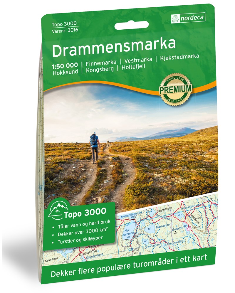
Wandelkaart 3016 Topo 3000 Drammensmarka | Nordeca

Een nieuwe serie van Nordeca. Een grote kaart op scheurvast papier. Het heldere kaartbeeld wat we van de andere series ook kennen is hier gebruikt wat de kaart goed leesbaar maakt. 

Kartet dekker : Finnemarka - Vestmarka - Kjekstadmarka - Hokksund - Kongsberg - Holtefjell

- Detaljert og lettlest

- Dekker over 3000km2

- Målestokk: 1:50 000

- Tåler vann og hard bruk

- Tydelige avmerkede turstier

- Hytter og overnatting

€ 32.95
Wandelkaart 3017 Topo 3000 Notodden | Nordeca

Een nieuwe serie van Nordeca. Een grote kaart op scheurvast papier. Het heldere kaartbeeld wat we van de andere series ook kennen is hier gebruikt wat de kaart goed leesbaar maakt. 

Kartet dekker : Kongsberg - Skrimfjella - Bø - Lifjell

- Detaljert og lettlest

- Dekker over 3000km2

- Målestokk: 1:50 000

- Tåler vann og hard bruk

- Tydelige avmerkede turstier

- Hytter og overnatting


€ 13.95
Reisverhaal Notes from the Cevennes | Adam Thorpe

A charming memoir exploring the history, landscape and people of rural France, told through the eyes of a Parisian-born Englishman, writer and poet.

Adam Thorpe's home for the past 25 years has been an old house in the Cévennes, a wild range of mountains in southern France. Prior to this, in an ancient millhouse in the oxbow of a Cévenol river, he wrote the novel that would become the Booker Prize-nominated Ulverton, now a Vintage Classic.

In more recent writing Thorpe has explored the Cévennes, drawing on the legends, history and above all the people of this part of France for his inspiration. In his charming journal, Notes from the Cévennes, Thorpe takes up these themes, writing about his surroundings, the village and his house at the heart of it, as well as the contrasts of city life in nearby Nîmes. In particular he is interested in how the past leaves impressions--marks--on our landscape and on us. What do we find in the grass, earth and stone beneath our feet and in the objects around us? How do they tie us to our forebears? What traces have been left behind and what marks do we leave now?

Part celebration of both rustic and urban France, part memoir, Thorpe's humorous and precise prose shows a wonderful stylist at work, recalling classics such as Robert Louis Stevenson's Travels with a Donkey in the Cévennes.

€ 14.99
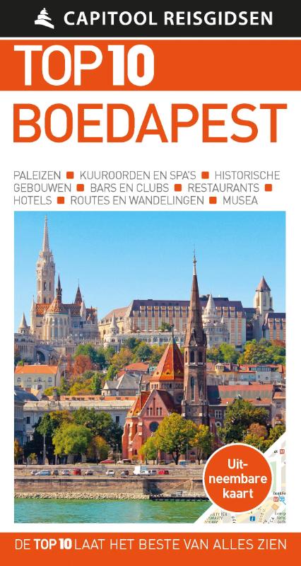
Reisgids Capitool Top 10 Boedapest | Unieboek

De naam zegt het al: een compacte versie van de veel geprezen Capitool serie. Eigenlijk vergelijkbaar met veel illustraties, veel aandacht voor cultuur en bevolking en hier en daar praktische informatie. Kleine versie, handig in de binnenzak.


- Met de uitneembare kaart vind je gemakkelijk de weg

- De schitterende foto’s brengen Boedapest tot leven

- Compact formaat, ideaal om mee te nemen

- Diverse wandelroutes leiden je langs alle hoogtepunten van de streek


Top 10 Boedapest


De reisgids is opgebouwd uit top 10-lijsten die het beste van alles wat er in de prachtige hoofdstad van Hongarije te zien en te doen is, behandelen. In korte beschrijvingen lees je over de badhuizen, restaurants, musea en historische gebouwen.


Top 10 Boedapest bevat tips en praktische informatie voor tijdens het verblijf, zoals wat voor weer je kunt verwachten, waar je lekker kunt eten, gratis uitjes, welk hotel het beste is en gemakkelijk te volgen voorbeeldroutes zodat je in korte tijd zoveel mogelijk kunt zien. Of je nu een weekend of een hele week komt, dankzij de handige lijstjes heb je een snel overzicht van het beste wat de stad te bieden heeft. Zo zie je in een oogopslag wat de leukste plekken zijn voor kinderen en wanneer de festivals zijn.


Abonneer op