Zeer gedegen duitse reisgids voor Montenegro. Zowel achtergronden over cultuur, bevolking als landschap, maar ook veel praktische informatie over hoe je waar wat zou willen zien. Aandacht voor alle aspecten van de regio.
Anders reisen und dabei das Besondere entdecken: Mit den aktuellen Tipps aus den Michael-Müller-Reiseführern gestalten Sie Ihre Reise individuell, nachhaltig und sicher.
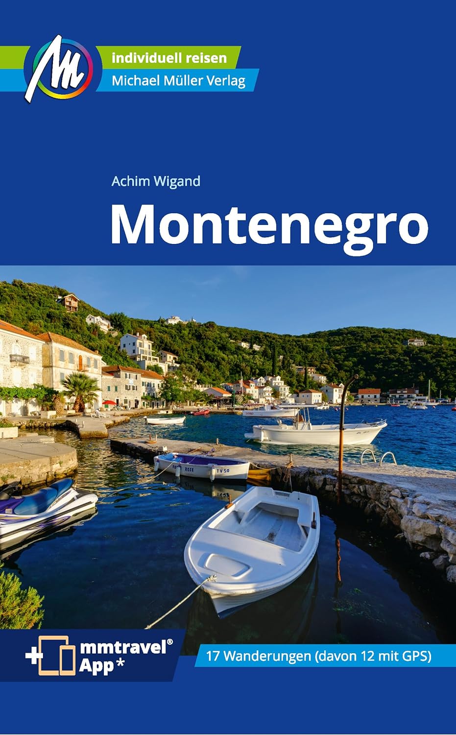
Seit mehr als 15 Jahren bereist unser Autor Montenegro, das kleine Land an der Adria. Kenntnisreich und mit Esprit weist er Ihnen den Weg zu den touristischen Highlights, aber auch zu Orten und Plätzen, die Sie so in keinem anderen Reiseführer finden. Folgen Sie Achim Wigand in der fünften Auflage unseres Montenegro-Reiseführers auf 308 Seiten mit 165 Farbfotos in dieses bezaubernde und an Sehenswertem reiche Land.
16 Wanderungen und Touren, elf davon mit kostenfrei herunterladbaren GPS-Tracks, führen Sie in fast jeden Winkel. Dank 33 Karten und Plänen inklusive einer Übersichtskarte von Montenegro und einem Stadtplan von Kotor sind Sie immer so gut orientiert, wie die Einheimischen.
Ökologisch, regional und nachhaltig wirtschaftende Betriebe sind kenntlich gemacht. Alles vor Ort für Sie recherchiert und ausprobiert. Zahlreiche eingestreute Kurz-Essays vermitteln interessante Hintergrundinformationen.
Die Geheimtipps von Achim Wigand erschließen Ihnen die Highlights der Insel ebenso, wie Sehenswertes abseits ausgetretener Pfade. Erprobte Tipps, nützliche reisepraktische Ratschläge sowie die wichtigsten Redewendungen auf Serbisch runden den Reiseführer »Montenegro« ab. Sonntag aktuell schreibt: »Gründlich recherchiert. Mit vielen Tipps für Individualreisende.« Und www.skippertipps.de findet: »Das perfekte Handbuch und der ideale Reisebegleiter.«
Montenegro im Überblick: Der Kontrast von Gebirge und Meer sorgt in der Bucht von Kotor und dem Hinterland für grandiose Landschaften. Der über 40 Kilometer tiefe Einschnitt in den dinarischen Rücken ist die wohl bekannteste Natursensation Montenegros. Alles weitere Sehenswerte sowie die versteckten Perlen zwischen Kotor und Herceg Novi verrät Ihnen unser Reiseführer »Montenegro«.
Strandhungrig? Mit unserem Montenegro-Reiseführer finden Sie die besten Strände zwischen Budva und Ulcinj. Ob malerisches Fischerdorf, luxuriöses Hide-Out oder günstige Unterkunft: Mit unserem Reiseführer entdecken Sie Orte, die garantiert nicht jeder kennt. Ruhesuchende und Naturliebhaber finden Ihr Paradies rund um den Skadar-See und in der Tiefebene von Podgorica. Schildkröten und Pelikane sind hier keine Seltenheit.
In den Bergen Montenegros finden Sie Ihr Gipfelglück. Zwischen Karst und Hochgebirge, Skipisten und ursprünglichen Bergwäldern rauschen eiskalte Gebirgsflüsse. Mit unserem Montenegro-Reiseführer erkunden Sie die einmaligen Landschaften und finden spielend leicht Ihr persönliches Gipfelglück. Ein ausführlich beschriebener Ausflug in die UNESCO-Weltkulturerbe-Stadt Dubrovnik schließt unseren Reiseführer »Montenegro« ab.
Praktisch und interaktiv: Kostenlos und registrierungsfrei stehen elf GPS-Tracks und die mmtravel® App mit Online-Karten und Ortungsfunktion zum Download für Ihren Urlaub in Montenegro bereit.
Drei Fakten über Montenegro, die Sie wahrscheinlich noch nicht kannten:
Montenegro ist der erste ökologische Staat der Welt. Am 20. September 1991 wurde der Schutz von Natur und Umwelt als Staatsziel in der Verfassung verankert. Der älteste Olivenbaum der östlichen Adria steht in der Gegend um Bar. Er ist etwa 2000 Jahre alt. Womöglich ist er sogar der älteste Baum Europas. In Ulcinj ist eine Badebucht ausschließlich für Frauen reserviert