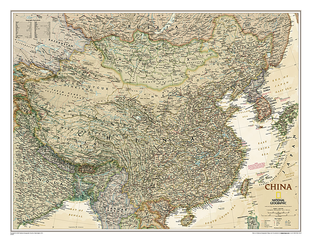
This detailed political map of China accurately shows locations of provincial boundaries, cities and towns, major highways and roads, rivers and waterways, and other geographic features.
€ 31.95
€ 23.95
Zeer goede reisgids voor zowel de georganiseerde maar vooral voor de zelfstandige reiziger. Boordevol informatie over reizen, slapen, eten, maar ook musea en cultuur. Uitputtende bron van informatie, veelal nog completer dan de Lonely Planet. Inleidende informatie over land en cultuur is zeer goed.
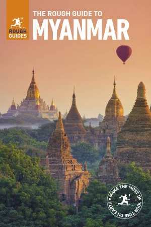
For so long off the tourist map, Myanmar (Burma) now has thrown open its doors to welcome travelers. More than 2 million people visited this beautiful and beguiling destination last year, and that number is expected to reach 6 million in 2018.
This in-depth coverage of Myanmar’s local attractions, sights, and restaurants takes you to the most rewarding spots—from Yangon to the temples of the Bagan Archaeological Area—and stunning color photography brings the land to life on the pages.
The locally based Rough Guides author team introduces the best places to stop and explore, and provides reliable insider tips on topics such as driving the roads, taking walking tours, or visiting local landmarks. You’ll find special coverage of history, art, architecture, and literature, and detailed information on the best markets and shopping for each area in this fascinating country.
The Rough Guide to Myanmar also unearths the best restaurants, nightlife, and places to stay, from backpacker hostels to beachfront villas and boutique hotels, and color-coded maps feature every sight and listing.
€ 13.95
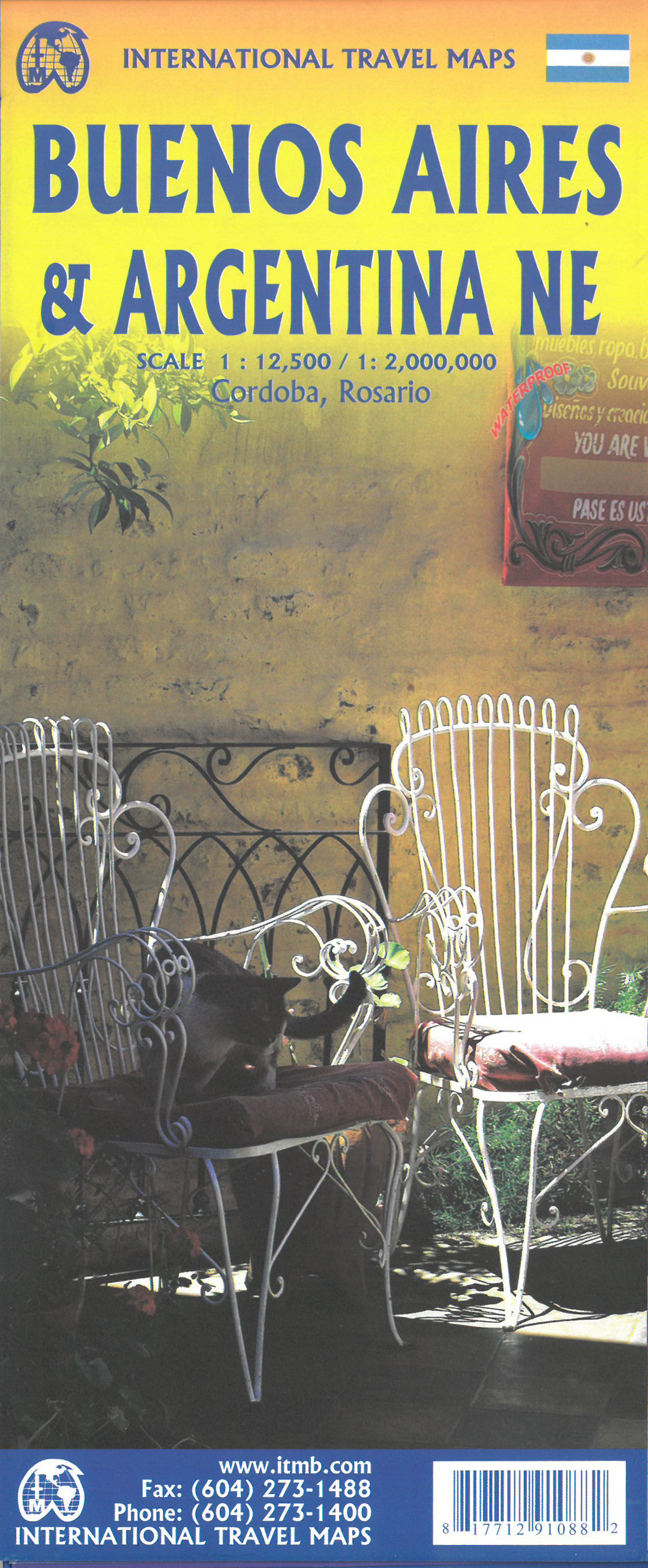
A double-sided road map of Buenos Aires and Northeast Argentina.
One side shows a detailed street map of Buenos Aires, with inset maps of subway lines, the Greater Buenos, and a place names index. This plan covers Downtown Buenos Aires, the Jorge Newbery airport, Ciudad Universitaria, and the central station.
Touristic information on the map include:
places of interest
museums
religious buildings
parks
cinemas
hospitals,
post-offices
malls
police stations
The other side shows Northern Argentina, from Buenos Aires to the south to the borders of Paraguay and Bolivia.
The legend is in English and in Spanish.
€ 9.50
Lonely Planet Phrasebook is een praktisch, Engelstalig taalgidsje op zakformaat vol handige zinnetjes en een (menu) woordenlijst.
Get more from your trip with easy-to-find phrases for every travel situation.
One of the most rewarding things about travelling through Western Europe is the rich variety of cuisine, customs, architecture and history. The flipside of course is that you’ll encounter a number of very different languages. Most languages spoken in Western Europe, including English, belong to what’s known as the Indo-European language family, believed to have originally developed from one language spoken thousands of years ago. Luckily for English speakers, all but one use Roman script.
Never get stuck for words with our quick reference dictionary for each language
Order the right meal with our menu decoders
Use our carefully selected words and phrases to get around with ease
Coverage Includes: Danish, Dutch, French, German, Italian, Norwegian, Portuguese, Spanish, Swedish, Turkish.
€ 18.95
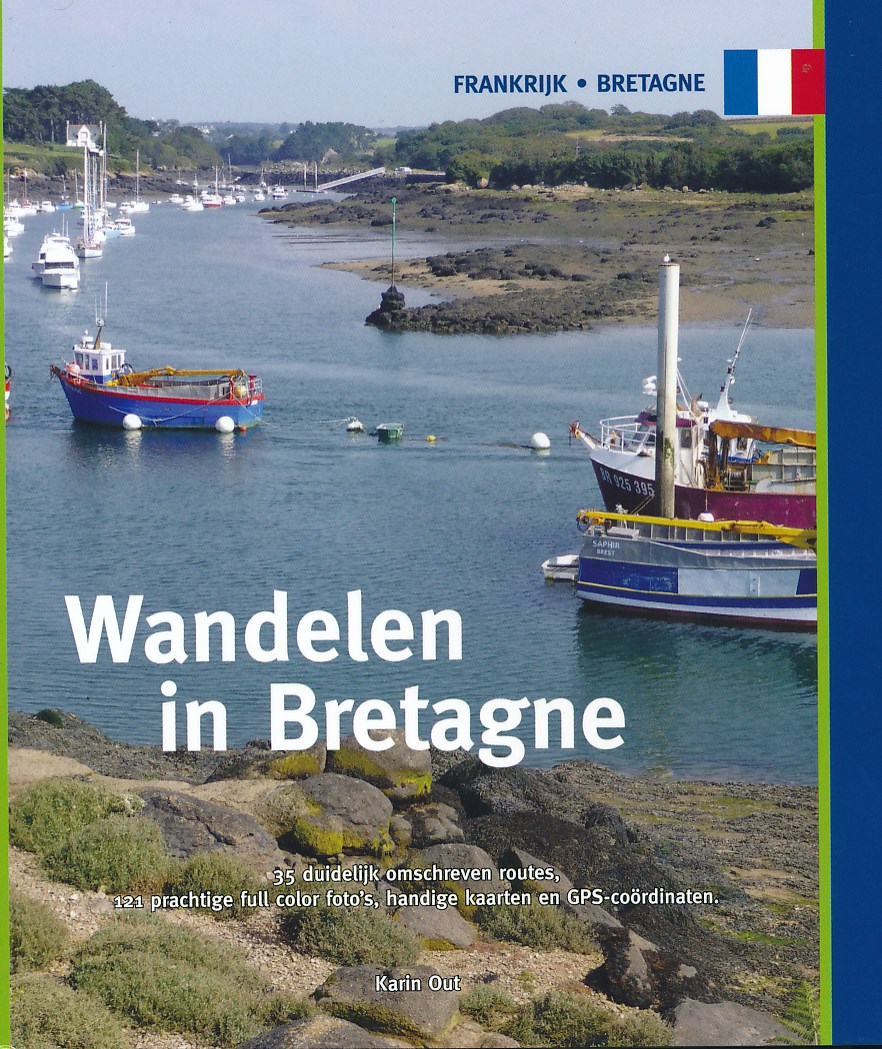
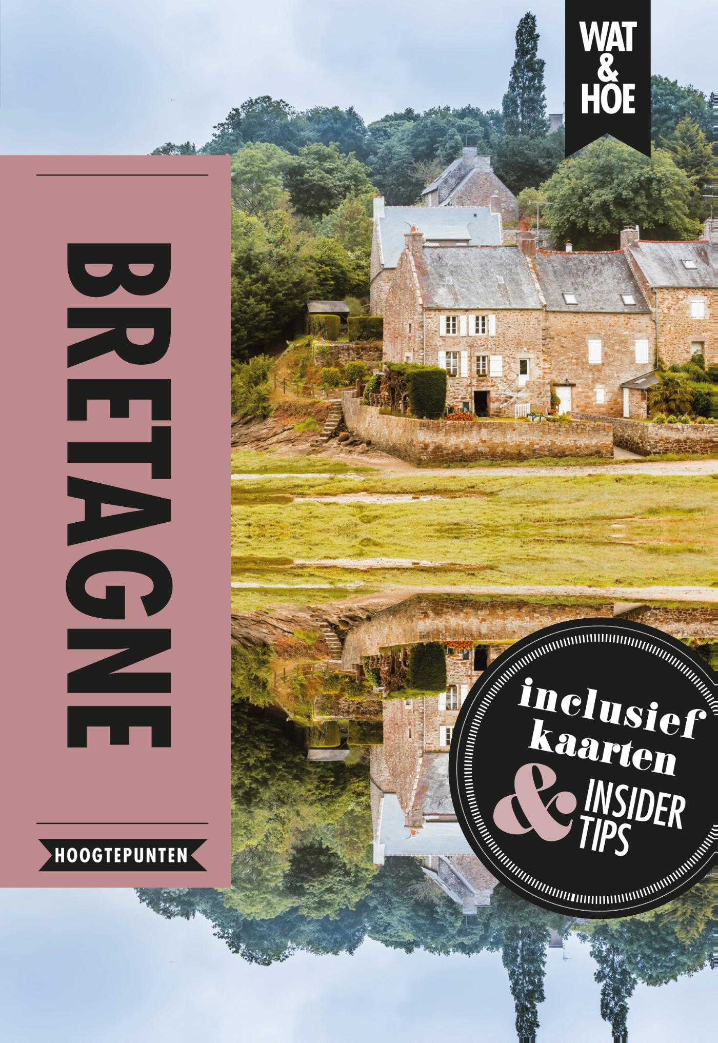
Bretagne is vooral bekend om zijn lange en ruige kustlijn, verscholen megalieten, schilderachtige haventjes en mooie zandstranden. Maar Bretagne heeft de toerist meer te bieden dan een strandvakantie. Het is vooral de combinatie van de diversiteit aan landschappen, de rijke cultuur en de zo gekoesterde folklore, die van Bretagne een ideale wandelbestemming maakt. Een schitterend pad langs de grillige en gevarieerde kust voert je door schilderachtige landschappen. Loop door kleurrijke heidevelden van hoge kliffen en langs uitgestrekte stranden. Pauzeer op het strand van een intieme baai dat verscholen ligt tussen schitterend geërodeerde rotsformaties. Kijk uit over de weidse zee, voel de kracht van de wind en snuif de zilte zeelucht op. Laat je verrassen door de rijke en gevarieerde flora en fauna en observeer ontelbare vogels die op de eilandjes voor de kust huizen.
Maar er valt al wandelend nog zoveel meer te ontdekken in dit mysterieuze land van de Kelten. Duik in het groene hart van het heuvelachtige binnenland, waar riviertjes en beekjes ontspringen en door weelderig groene valleien naar de kust stromen. Loop door de dichte bossen van Brocéliande in de voetsporen van Koning Arthur en wandel over authentieke holle paden die landelijk gelegen, rustieke dorpjes met elkaar verbinden. De granieten huizen hebben hier blauw geschilderde luiken en hortensia's sieren de tuinen. Slenter door de geplaveide straatjes van pittoreske middeleeuwse stadjes en laat de geschiedenis tot leven komen.
De in deze gids beschreven routes zijn met zorg geselecteerd en door de auteur gelopen en in kaart gebracht. De wandelingen variëren van makkelijke routes van 9 km tot meer uitdagende tochten van 20,5 km. Elke beschrijving is voorzien van beknopte informatie over landschappen en bezienswaardigheden. Met deze gids in de hand ontdek je al wandelend de vele natuurlijke rijkdommen en de culturele schoonheden van deze boeiende en afwisselende streek.
Trek je wandelschoenen aan en kom op adem in Bretagne.
35 routebeschrijvingen, variërend van een paar uur tot een hele dag
€ 10.49
Aardige kleine gids met behoorlijk wat inhoud.
Wat & Hoe Bretagne is de ideale reisgids voor een korte vakantie. Met de uitklapkaarten, plattegronden en vind je altijd de weg. En dankzij de Top 10-selectie en de beste hotspots weet je zeker dat je niets mist. Deze eigentijdse reisgids van Wat & Hoe Select biedt je alle essentiële informatie die je nodig hebt voor een reis naar Bretagne.
Bretagne staat bekend om de gevarieerde kust, een paradijs voor zeilers en vissers. Maar ook het binnenland, met dichte wouden, middeleeuwse kastelen en menhirs, en de Bretonse cultuur zijn de moeite meer dan waard. Maak een boottocht naar een van de prachtige eilanden, wandel door het oude stadscentrum van Nantes of Rennes en geniet van echte Franse crêpes.
€ 18.95
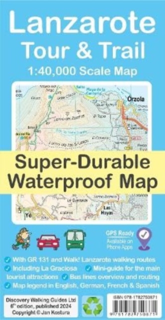
De Lanzarote Tour & Trail Super-Durable wandelkaart (4de editie) beslaat dit grote eiland op een schaal van 1: 40.000 wat resulteert in de meest gedetailleerde en sterkste kaart van Lanzarote die u kunt kopen.
For your best adventures, use the best map. Water-proof, split-proof, tear-proof, adventure-proof. Lanzarote Tour & Trail Super-Durable Map is simply the toughest, most accurate, easy to read, easy to use multipurpose map that you can get. A large 960mm by 694mm double sided map sheet covers Lanzarote and its neighbouring island La Graciosa at 1:40,000 scale. A generous overlap and an extra mini-map reduce the need of turning the map in use. Whether you plan to walk, or discover the island by car or the bus, this is the map for you. New for the 6th edition is a summary of Lanzarote bus system, with overview of bus lines and actual bus routes highlighted in the map. Also new is a summary and a mini-guide to main tourist attractions of Lanzarote, with tips for a successful visit. Besides our unique map legend in English, we now have a second multi-language legend in English, German, French and Spanish. Our legendary 'Tour & Trail' level of detail ranges from motorways, main roads, secondary roads, minor roads, streets and narrow country roads, dirt roads and tracks to walking trails and faint paths. For walkers, the GR 131 long distance route is specially highlighted on the map in red, while walking routes from Walk! Lanzarote by Discovery Walking Guides are highlighted in green. Altitude shading is designed to clearly show the altitude range when travelling across the island by car, bus, or on foot. 20-metre and 100-metre contours combined with the altitude shading bring this beautiful landscape to life. There are plenty of individual height points and all of the official 'Trig' points are on the map. Tour & Trail attention to detail includes our useful symbol range such as viewpoints, picnic areas, petrol stations, bar/restaurants and parking areas where you can pull off the road safely. You will easily identify springs, caves, sports grounds, museums, churches, chapels, crosses, cemeteries, lighthouses, forts, camping areas, wind turbines, windmills, hotels and tourist sites. It all adds up to the most detailed and most durable map of Lanzarote and La Graciosa that you can get. 'Super-Durable' means a waterproof, tear-proof, map that can take the roughest treatment and still folds up like new after your adventures. Super-Durable Maps come with a 2-year adventurous use 'Wear and Tear' guarantee. DWG's special concertina map fold makes our map easy to open and more importantly easy to refold back to its 232mm by 120mm size. Digital edition of the map is available as in-app purchase for Outdooractive, Avenza Maps and Locus Map phone apps.
€ 21.50
Goede 4-delige wandelkaartenset van de Dolomieten met vrijwel alle topografische details als hoogtelijnen, vegetatie, schaduwtekening maar ook de ingetekende wandelroutes en in veel gevallen ook fietsroutes (MTB). Gevaarlijke routes worden als zodanig weergegeven met een bepaalde markering. Berghutten en campings zijn goed terug te vinden op deze kaarten.
Daarnaast staan de toeristische bezienswaardigheden met symbolen vermeld. Kleurgebruik kan soms vrij fel overkomen, daardoor oogt deze detailkaart wellicht wat druk, maar het blijft een goed leesbare kaart. Sommige kaarten zijn geplastificeerd, maar helaas niet allemaal. De graden staan aan de zijkanten van de kaart, daardoor te gebruiken voor GPS.
Steden/dorpen/gebieden:
Brixen / Bressanone, Bruneck / Brunico, Prags, Innichen, Sillian, S. Stefano di Cadore, Pieve di Cadore, Cortina d'Ampezzo, S. Vito di Cadore, Longarone, Belluno, Fiera di Castrozza, Imer, Predazzo, Cavalese, Auer, Moena, Bozen, Klausen / Chiusa, Wolkenstein, Agordo, S. Martino di Castrozza
Bergen/dalen:
Drei Zinnen, Schwarzhorn, Marmolada, Piz Boe, Cima d'Asta, Passo del Brocon, Sellajoch / Passo di Sella, Passo della Mauria
Rivieren/meren:
Rienz, Eisack, Piave
€ 18.50
This guidebook follows the continuous 298km (182 mile) walking route from Silverdale, on Morecambe Bay, towards Gretna on the Scottish border. The route links a number of gems of landscape, wildlife, archaeology and history along this often little-known coastline. A walk of 10-14 days suitable for all levels of ability.
THE CUMBRIA COASTAL WAY is a continuous 298km (182 mile) walking route from north Lancashire towards the Scottish border, and links a number of gems of landscape, wildlife, archaeology and history that are found on this often little-known coastline.
Starting at Silverdale, on Morecambe Bay, and edging the coast up towards Gretna, the coastal way can be walked in its entirety (10–14 days), or in sections, by people of all ages and abilities. Much of the route-finding is easy, and the route, which rarely climbs higher than 100m above sea level, has been designed to link with public transport.
This is a totally new edition of the guidebook written by two walkers who regularly explore Cumbria’s diverse coast.
€ 12.95
Heel handige atlas van de Serengeti en andere parken in de directe omgeving: in ringband, met enkele stadsplattegronden en kaarten met veel detail van de parken. Met register en foto's van de veelkomende zoogdieren.
Format: DIN-A5 (148 x 210 mm) mit Wire-O-Bindung, 64 Seiten inkl. Umschlag
Inhalt, durchgehend vierfarbig:
- 36 Seiten Gebietskarte im Maßstab 1:250.000 für die o.g. Nationalparks
- Blattschnittübersicht
- Übersichtskarte von Tansania
- Detailkarte des Ngorongoro-Kraters
- Citypläne von Arusha, Mwanza, Nairobi, Mombasa
- Reich bebilderte zweisprachige Beschreibung (Deutsch u. Englisch) der heimischen Tiere und Pflanzen
- Karte der Tierwanderungen (Migration)
- Ortsregister
- Zweisprachige Legende (Deutsch und Englisch)
Der Atlas stellt zusammenhängend das Gebiet des "Greater Serengeti Ecosystem" in einem einheitlichen Maßstab

