Prachtig boek (fotoboek - reisverslag) van een fietsreis van Amsterdam naar Singapore. Hele mooie foto's geven een fantastisch beeld van mensen, natuur en avontuur.
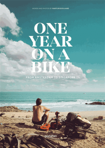
Martijn Doolaard traded the convenience of a car and the distractions of daily life for a cross-continental cycling journey: a biped adventure that would take him from Amsterdam to Singapore. Leaving behind repetitive routines, One Year on a Bike indulges in slow travel, the subtlety of a gradually changing landscape, and the lessons learned through traveling.
Venturing through Eastern European fields of yellow rapeseed to the intimate hosting culture and community in Iran, One Year on a Bike is a vivid chronicle of what can happen when the norm is pointedly replaced by exceptional self-discoveries and beautiful sceneries. Doolaard shares the gear and knowledge that made his trip possible alongside the passionate curiosities that served as his impetus.