€ 29.95
Wandelkaart - Topografische kaart 10041 Norge Serien Flå | Nordeca

Een compleet nieuwe serie topografische kaarten voor Noorwegen 1:50 000. Het heeft een moderne cartografie, ontwikkeld voor het actieve buitenleven. Deze kaarten zijn ideaal voor wandel-en recreatief gebruik in de bergen, bossen, langs de kust en voor de jacht en de visserij. Voor professionele organisaties bieden de kaarten de nodige kennis van het terrein.


De Noorwegen-serie wordt gepubliceerd in vier etappes met telkens ongeveer 50 bladen - in totaal 195 kaarten. 


Deze Noorwegen-serie is een nieuwe landelijke kaart-serie op een schaal van 1:50 000 die geschikt is voor zowel korte en lange reizen. De nieuwe serie bestaat uit 195 kaarten. Elke kaart heeft een oppervlakte van 47x64 km, en heeft een overlap van 2 km tussen de kaartbladen. Terrein over de grens: Zweden, Finland en Rusland wordt opgenomen op de bladen.


Alle 195 kaarten in Noorwegen serie zijn gedrukt op een dunne plastic fiber materiaal dat bestand is tegen water en is moeilijk te scheuren. De kaarten zijn bestand tegen grote fysieke belasting en een perfecte kaart voor de reis in alle weersomstandigheden te zijn.


Norway 1:50 000 series uses modern cartography, designed for active outdoor life. These maps are ideal for hiking and recreational use in the mountains, woods, along the coast and for hunting and fishing. For professional organizations the maps provide knowledge of terrain and geography for planning and exercising. Printed on waterproof, strong paper, a perfect map for the trip in any weather.


This is a national map series at a scale of 1:50 000 suitable for short and long trips, consisting of 195 maps. Each map covers an area of 47x64 km, and it is 2 km overlap between map sheets. Borders with Sweden, Finland and Russia are well covered, where they naturally within the map frame.

€ 13.95
Wegenkaart - landkaart Africa north east - noord oost Afrika | ITMB

This is the third ITMB title on Africa to be released using our digital data base material. As with Africa as a continental map and Africa North West, this map covers a large area and tries to do so fairly and in detail. The essential areas of coverage are Libya and Egypt in the north, with Sudan/South Sudan, Ethiopia/Eritrea in the middle, and Kenya/Uganda in the south, with a fair portion of Tanzania and Congo thrown in simply because it fits. Being a regional map, it is useful for the 'big' picture. It is quite detailed, showing roads, towns, and major touristic sites. It is more detailed and at a better scale than the Michelin map of the same name


Legend Includes:

Road by classification, Main Road, National Park, Lake, Capital, International Airport, Oasis, Ruins, Hotels and much more...

€ 14.95
Reisgids Culture Smart! Georgia - Georgië | Kuperard

De Cultuur Bewust!-gids geeft toeristen en zakenlieden belangrijke informatie met betrekking tot de cultuur van alledag in het land van bestemming. Anders dan in de gebruikelijke reisgidsen wordt de lezer in deze reeks bijgespijkerd op het gebied van omgangsvormen, normen en waarden, hoe zich te gedragen en wat verwacht mag worden op zakelijk en sociaal gebied. Het zijn beknopte zakformaatgidsen met interessante wetenswaardigheden over het dagelijks leven. Een must voor iedereen die naar het buitenland gaat voor vakantie, studie of werk.

Georgia lies between Eastern Europe, Central Asia, and the Middle East, on the southeastern shore of the Black Sea. This small Caucasian country is used to playing a significant role in global geopolitics, and its strategic location at the crossroads of different civilizations has been a curse as well as a blessing. Once a battlefield of the Christian and Muslim worlds, today it is caught between its NATO aspirations and its location in Russia's backyard.

The Silk Road brought the best of the world to Georgia. Its ancient Christian culture shows the influence of Arab, Persian, and Ottoman conquerors. Combined with this is a southern, “Mediterranean” feel, traces of the Soviet legacy, and a strong Western influence. What awaits the visitor is a unique culture that goes back thousands of years. Georgia has a rich historical heritage, wonderful food and wines, unforgettable scenery, authentic folk music and dances, an attractive business climate, and an educated and hospitable people for whom indulging a guest is more a religion than a duty.

Culture Smart! Georgia offers invaluable insights and practical tips for tourists and business people alike. The author, Natia Abramia, guides you through the past and present-day realities of her motherland, explaining what makes people tick, how they live and feel, and how to get on with them. You will discover that the Georgians will not let you down. Learn how to reach their hearts, and they will charm you back.

€ 29.95
Wereldkaart Muursticker rood | United Entertainment

De Wereldkaart Muursticker is een prachtige wanddecoratie voor je woonkamer of kantoor. Met de afmeting van 103 x 180 cm geeft de World Map een specifieke uitstraling aan je interieur. Een geweldig idee voor een nieuwe woning, liefhebbers van reizen of een ieder die een persoonlijke touch wil geven aan de leefomgeving.

De World Map is eenvoudig aan te brengen door gebruik te maken van het meegeleverde transparante sticker vel. Hierdoor is geen lijm nodig, laat het geen rommel achter en heb je geen schilder nodig. De World Map is aan te brengen op de meeste vlakke ondergronden.


Kenmerken

- Prachtige wanddecoratie Wereldkaart

- Verwijderbaar, niet herbruikbaar

- Verkrijgbaar in: zwart, grijs, rood


€ 19.95
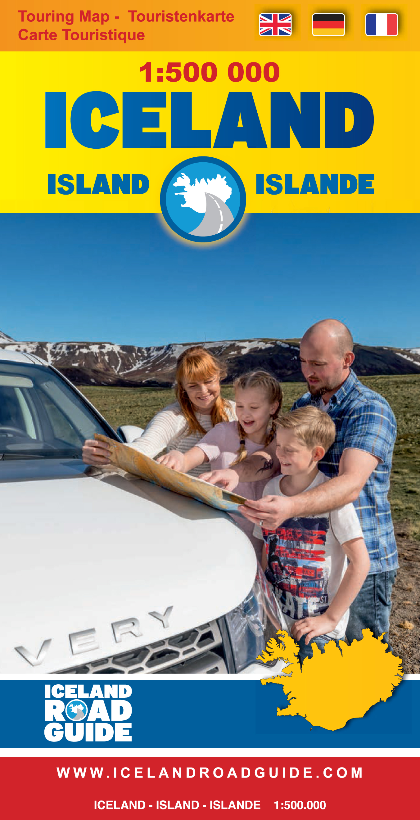
Wegenkaart - landkaart IJsland - Iceland Road Guide | Vegahandbokin

Toeristische kaart van IJsland inclusief handige app.

High quality overall map of the country in the scale 1:500 000 with the latest official update about the road system.


Some unique features of this map are explanation of lcelandic place names, table of volcano activity, night & daylight scheme for each month, distance table and place name index.


How to drive in Iceland. Some facts about Iceland. Information and photos of 34 tourist attractions along with important tourist information such as accommodations, swimming pools, natural baths, museums, golf courses, filling stations etc.


€ 11.95
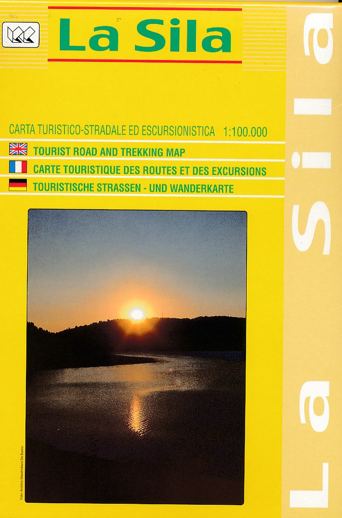
Wegenkaart - landkaart - Wandelkaart La Sila | Global Map

Gedetaileerde wegen- en wandelkaart van een deel van Italië, in dit geval van een deel van de hak van de laars in Calabrië.


Mooi kleurgebruik en met symbolen worden campings en hutten weergegeven. Ingetekend zijn de doorgaande wandelpaden waardoor deze kaart voor trekkings redelijk geschikt is. De kaart dekt het gebied tussen Rossano, Catanzaro, Cosenza en Santa Severina.

€ 10.95
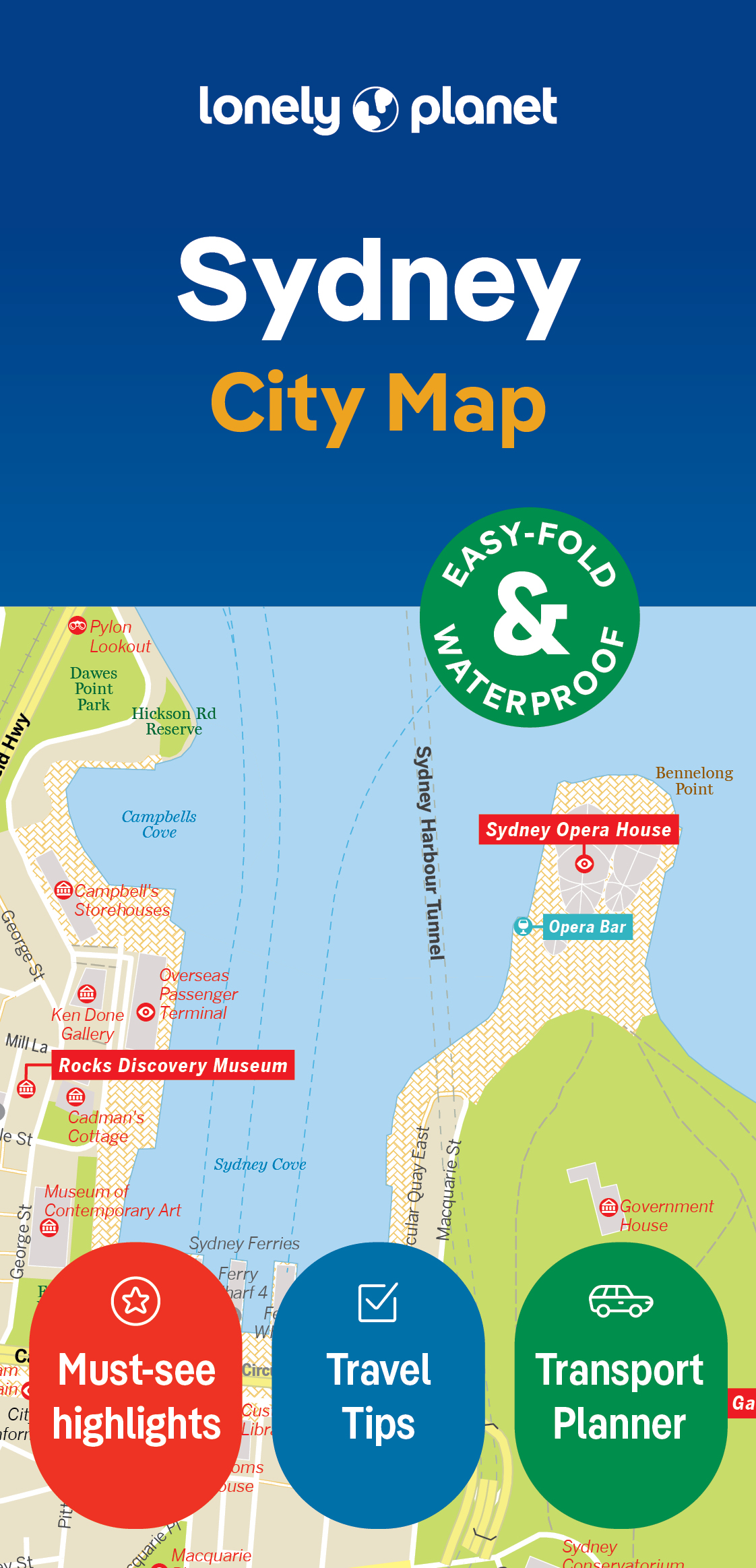
Stadsplattegrond City map Sydney | Lonely Planet

De stadsplattegronden van Lonely Planet zijn uitgevoerd op scheur- en watervast papier, zijn lichtgewicht en kennen een handig formaat. Het centrum van de stad is in heldere kleuren in beeld gebracht met straatnamen, bezienswaardigheden en symbolen voor openbaar vervoer. Op de achterzijde staat informatie over de toeristische hoogtepunten en in de meeste gevallen een schematische plattegrond van het openbaar vervoer. Met een register.

Durable and waterproof, with a handy slipcase and an easy-fold format, Lonely Planet Sydney City Map is your conveniently-sized passport to traveling with ease.

Get more from your map and your trip with images and information about top city attractions, transport maps, itinerary suggestions, extensive street and site index, and practical travel tips and directory. With this easy-to-use, full colour navigation tool in your back pocket, you can truly get to the heart of Sydney, so begin your journey now!


Easy-fold format and convenient size

Handy slipcase

Full colour and  easy-to-use

Extensive street and site index

Images and information about top city attractions

Handy transport maps

Practical travel tips and directory

Itinerary suggestions


Covers Balgowlah Heights, Balmain, Balmain East, Balmoral, Bondi, Bronte, Castlecrag, Chatswood, Chinatown, Chippendale, City Centre, Cremorne, Crows Nest, Darling Harbour, Darlinghurst, Dawes Point, Double Bay, Dover Heights, East Sydney, Elizabeth Bay, Fairlight, Garden Island, Glebe, Haymarket, Kings Cross, Kirribilli, Manly, McMahons Point, Millers Point, Milsons Point, Moore Park, Mosman, Neutral Bay, North Sydney, Northbridge, Paddington, Point Piper, Potts Point, Pyrmont, Queens Park, Redfern, Rose Bay, Seaforth, Surry Hills, Sydney, The Rocks, Ultimo, Vaucluse, Watsons Bay, Willoughby, Woolloomooloo


€ 9.95
Stadsplattegrond City map Tokyo | Lonely Planet

De stadsplattegronden van Lonely Planet zijn uitgevoerd op scheur- en watervast papier, zijn lichtgewicht en kennen een handig formaat. Het centrum van de stad is in heldere kleuren in beeld gebracht met straatnamen, bezienswaardigheden en symbolen voor openbaar vervoer. Op de achterzijde staat informatie over de toeristische hoogtepunten en in de meeste gevallen een schematische plattegrond van het openbaar vervoer. Met een register.

Durable and waterproof, with a handy slipcase and an easy-fold format, Lonely Planet's Tokyo City Map is your conveniently sized passport to travelling with ease. Get more from your map and your trip with images and information about top city attractions, walking tour routes, transport maps, itinerary suggestions, an extensive street and site index, and practical travel tips and directory. With this easy-to-use, full-colour navigation tool, you can get to the heart of Tokyo, so begin your journey now! Durable and waterproof Easy-fold format and convenient size Handy slipcase Full colour and easy to use Extensive street and site index Images and information about top city attractions Handy transport maps Walking tour routes Practical travel tips and directory Itinerary suggestions Covers Chiyoda-Ku, Fujimi, Ginza, Hongo, Imado, Jinnan, Kotobuki, Muromachi, Nezu, Sendagaya, Shibuya-Ku, Ueno and more! Looking for more extensive coverage? Check out Lonely Planet's Tokyo, our most comprehensive guidebook to the city, covering the top sights and most authentic offbeat experiences.


Or check out Lonely Planet's Pocket Tokyo, a handy-sized guide focused on the can't-miss experiences for a quick trip. About Lonely Planet: Lonely Planet is a leading travel media company, providing both inspiring and trustworthy information for every kind of traveller since 1973. Over the past four decades, we've printed over 145 million guidebooks and phrasebooks for 120 languages, and grown a dedicated, passionate global community of travellers.


You'll also find our content online, and in mobile apps, videos, 14 languages, armchair and lifestyle books, ebooks, and more, enabling you to explore every day. 'Lonely Planet guides are, quite simply, like no other.' New York Times 'Lonely Planet. It's on everyone's bookshelves; it's in every traveller's hands.


Easy-fold format and convenient size

Handy slipcase

Full colour and  easy-to-use

Extensive street and site index

Images and information about top city attractions

Handy transport maps

Practical travel tips and directory

Itinerary suggestions


Covers Akasaka, Asakusa, Azabudai, Azabu-Juban, Azumabashi, Bunkyo-ku, Chiyoda-Ku, Chuo-Ku, Dogenzaka, Fujimi, Ginza, Hanakawado, Hatchobori, Hibiya-Koen, Higashi-Azabu, Higashi-Komagata, Higashi-Mukojima, Higashi-Shimbashi, Higashi-Ueno, Hirakawacho, Hongo, Ichiban-Cho, Ichigaya-Tamachi, Iidabashi, Ike-No-Hata, Imado, Jingu-Mae, Jinnan, Kabukicho, Kachidoki, Kagurazaka, Kaji-Cho, Kaminari-Mon, Kanda-Awajicho, Kanda-Jimbocho, Kanda-Nishikicho, Kanda-Sudacho, Kanda-Surugadai, Kanda-Tacho, Kasumigaseki, Kioi-Cho, Kita-Aoyama, Kita-Shinjuku, Kita-Ueno, Koishikawa, Kojimachi, Komagata, Koraku, Kotobuki, Koto-Ku, Kudankita, Kudan-Minami, Kyobashi, Marunouchi, Maruyama-Cho, Matsugaya, Minami-Aoyama, Minato-Ku, Misaki-Cho, Moto-Azabu, Mukojima, Muromachi, Nagatacho, Narihira, Nezu, Nihombashi-Honcho, Nihombashi-Muromachi, Nishi-Asakusa, Nishi-Azabu, Nishi-Shimbashi, Nishi-Shinjuku, Oshiage, Otemachi, Roppongi, Roppongi 6-Chome, Sakuragaoka-Cho, Sendagaya, Shiba Daimon, Shiba-Koen, Shibuya-Ku, Shimbashi, Shinjuku, Shinjuku-Ku, Shinjuku-Nichome, Shintomi, Shiodome, Shoto, Soto-Kanda, Toranomon, Tsukiji, Tsukudo-Cho, Uchi-Kanda, Uchisaiwai-Cho, Udagawa-Cho, Ueno, Ueno-Sakuragi, Wakamiya-Cho, Yaesu, Yoyogi, Yurakucho, Yushima


Abonneer op