€ 16.95
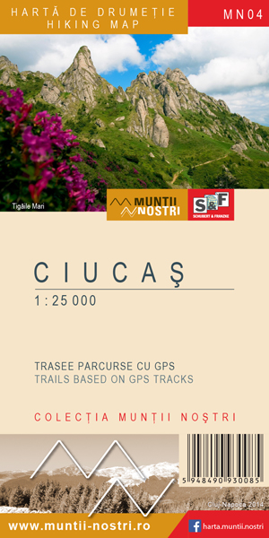
Wandelkaart MN04 Muntii Nostri Ciucas | Schubert - Franzke

Verrassend goede kaarten van een aantal bekende Roemeense wandelgebieden. Gedrukt op stevig papier.


Gedetailleerde topografische wandelkaart met ingetekende wandelroutes, berghutten en moeilijke doorsteken.Routebeschrijvingen van de wandelroutes met aanvullende informatie en met hoogteprofielen  in het Engels en Roemeens, Met hoogtelijnen en UTM-grid.

€ 7.95
Wegenkaart - landkaart Pocket Map Wild Atlantic Way | Collins

Handy full-colour map of Ireland’s Wild Atlantic Way with a high level of detail. Clear mapping of the full 2500 km (over 1500 miles) route, showing the road network and places of interest.


Clear, detailed Collins road mapping is presented in a handy format ideal for the pocket or handbag. It is excellent value and very detailed for its size, covering the whole of the Wild Atlantic Way.


Ideal for tourists, locals, hikers and adventurers. Places of interest marked, including famous film locations.


This map includes:

• Clear mapping at a scale of 8.7 miles to 1 inch

• National Tourist Routes showing best routes through the most scenic areas

• Places of interest include film locations such as Star Wars

• Tourist and signature locations clearly marked

• Suggested itineraries

• Detailed place names index

• Ideal companion to a sat-nav – it enables route planning and route sense-checking

€ 7.95
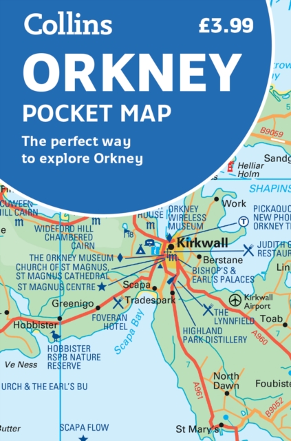
Wegenkaart - landkaart Pocket Map Orkney | Collins

Handy little full colour map of the Orkney Islands in Scotland. Detailed mapping and tourist information for Orkney mainland, Westray, Sanday, Stronsay, Shapinsay, Hoy, South Ronaldsay and the other islands. Excellent value and very detailed for its size.

Main features of this map:


• Clear mapping at a scale of 2.7 miles to 1 inch

• Tourist attractions located and described

• Ideal for touring with sights, places to stay, cafe/restaurant, things to do all on the map

• Transport links map showing how to get to and depart the islands

• Index to places of interest and place names


Essential for those planning a trip around the Orkney Isles.

€ 14.95
Wandelkaart - Topografische kaart 08 Ushguli - Lashkheti - Mt. Shkhara | Geoland

Dubbelzijdige wandelkaart van een deel van Georgië. Met de noodzakelijke topografische informatie als hoogtelijnen, type terrein en vegetatie; onderscheid in wegennet, spoorwegen en kabelbanen. Daarnaast worden met symbolen een aantal toeristische aspecten aangeduid als campings, accommodaties, historische monumenten, etc. Elke kaart heeft een UTM grid en is dan ook GPS compatible, de tekst en legenda is in het Engels en plaatsnamen in Latijns schrift. Bepaalde wandelroutes zijn ingetekend.

€ 22.50
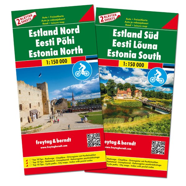
Fietskaart - Wegenkaart - landkaart Estland | Freytag & Berndt

Set met kaarten van het noorden en zuiden van Estland. Beide kaarten zijn dubbelzijdig bedrukt met index, toeristische informatie en afstanden in kilometers.De berijdbare wegen zijn goed weergeven, zowel de hoofdwegen als provinciale en lokale wegen; wegnummers worden vermeld. Afstanden tussen plaatsen zijn in kilometers op de kaart ingetekend.

Neben der übersichtlichen Gestaltung bietet das Autokarten Set “Estland 1:150.000” zahlreiche Zusatzinformationen wie z.B. Straßenbeschaffenheit, Sehenswürdigkeiten, Campingplätze und diverse Innenstadtpläne. Mit dem umfangreichen Ortsregister gelingt zudem eine rasche Orientierung.


Der beigelegte Freizeitführer beschreibt die interessantesten Sehenswürdigkeiten und besten Radwege. (Sprachen: Deutsch, Englisch, Finnisch, Estnisch, Polnisch).


Autokarten Set mit 2 Blättern, doppelseitig, Citypläne von Narva, Pärnu, Tallinn und Tartu,

Top 10 Tips Sehenswürdigkeiten, Radwege, Ortsregister mit Postleitzahlen;

€ 29.50
Reisgids Griechenland - Griekenland | Baedeker Reisgidsen

ein Land, in dem Sie in der alten Stadt Soúfli in einer Seidenfabrik übernachten können, Pelikane an den Prespa-Seen sich über ihre Köpfe in den Himmel erheben und Sie im Mondschein in warmen Quellen bei Édessa baden.

Das alte Griechenland strotz nur so von Geschichte, es gab Dichter und Denker, blutige Schlachten und dann sind da noch die Götter ... In Griechenland erleben Sie Geschichte und reisen in eine Zeit zurück, in der die Menschen architektonische Meisterleistungen vollbrachten.

Bewundern Sie mit Hilfe der Specialseiten die Akropolis über den Dächern von Athen, erleben Sie die schwebenden Klöster von Metéoro, wenn der Nebel noch im Tal hängt und sich die Bauwerke über der Wolkendecke erheben, und erkunden Sie sagenhafte Paläste wie den Palast des Minos auf Kreta.

Und dann gibt es da noch Sonne, Strand und Meer - ein wahres Badeparadies.


Der Baedeker Griechenland vereint fundierte Informationen zu Natur, Kultur und Geschichte mit Genießerthemen und beschreibt alle wichtigen Sehenswürdigkeiten. Tourenvorschläge führen zu den interessantesten Plätzen, viele reisepraktische Tipps helfen vor Ort. Er bietet eine fulminante Bandbreite an Wissen für unterwegs und eine üppige Ausstattung.

DAS IST... GRIECHENLAND

TOUREN

Das Festland, Peloponnes, Nordgriechenland, Kykladen

SEHENSWERTES VON A BIS Z

HINTERGRUND

ERLEBEN UND GENIESSEN

PRAKTISCHE INFORMATIONEN

€ 10.95
Wandelgids Dorset | Pocket Mountains

Handige compacte wandelgids met 40 dagwandelingen. Deze gids bevat kleine kaartjes en leuke uitgebreide informatie over wat er langs de route te zien is. Goede wandelkaarten zijn echter wel aan te raden voor deze tochten: de Ordnance Survey explorer maps of Landranger maps zijn zeer geschikt.

From Old Harry Rocks, Lulworth Cove and Durdle Door, all along the shore of the Jurassic Coast to Lyme Regis, via the glowing summit of Golden Cap and the one-eyed winking lighthouse at Portland Bill, Dorset is a walkers’ wonderland.


The 40 routes in this book roam over hills and across heathland, go through forests and voluptuous valleys, trace ridgelines and precipitous cliffs, passing caves, castles, coves, country pubs and stunning viewpoints, to find vibrant villages and secret beaches. Here you’ll come face-to-face with history, walk with the words of Thomas Hardy ringing in your ears, witness wondrous wildlife and encounter all manner of cottage industries, from community cake- and marmalade-makers to microbreweries bubbling away in back streets.


Plaatsen in het boekje

Abbotsbury, Affpuddle, Badbury Rings, Blackmore Vale, Bournemouth, Bridport, River Brit, Broadwindsor, Brownsea Island, Cerne Abbas, Chesil Beach, Child Okeford, Christchurch, Clubmen’s Down, Colmer’s Hill, Coney’s Castle, Corfe Castle, Cranborne Chase, Dancing Ledge, Dorchester, Durdle Door, Durlston Head, East Compton,Eype, Fontmell Down, Fontmell Magna, Fortuneswell, River Frome, Golden Cap, Hambledon Hill, Hardy Monument, Hardy’s Cottage,Hell Stone, Hengistbury Head, Highcliffe Castle, Higher Bockhampton, Hinton St Mary, Hod Hill, Kingston, Kingston Lacy, Lambert’s Castle, Langdon Hill, Lewesdon Hill, Lower Bockhampton, Lulworth Cove, Lyme Regis, Maiden Castle, Man o’ War, Marshwood, Martinstown, Melbury Hill, Morcombelake , Old Harry Rocks, Pamphill, Piddle, River, Pilsdon Pen, Poole, Portesham, Portland, Puddletown Forest, Ringstead, St Aldhelm’s Head, St Oswald’s Bay, Seatown, Sherborne, South Down, Stoke Abbott, Stonebarrow Lane, River Stour, Studland, Sturminster Newton , Swanage, Symondsbury, Thorncombe Beacon, Tolpuddle, Waddon Hill, Wareham, Wareham Forest, West Bay, West Lulworth, White Nothe, Wimborne Minster, Woolsbarrow Fort, Worth Matravers

€ 31.95
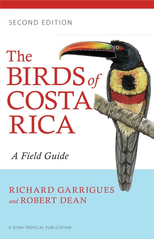
Vogelgids The Birds of Costa Rica | Zona Tropical

This is the one compact, portable, and user-friendly field guide the novice or experienced birder needs to identify birds in the field in the diverse habitats found in Costa Rica. It features descriptions and illustrations of all 903 species definitely known from Costa Rica, including pelagics and species regular to Cocos Island. Fifty-six of these species are placed in a "Rarities" section that includes accidentals, rarer pelagics, and species that have not been reported in more than twenty years.

The detailed full-color illustrations show identifying features--including plumage differences among males, females, and juveniles--and views of birds in flight wherever pertinent.Robert Dean has supplied more than 360 new illustrations, including sixty-four species that are illustrated for the first time in this edition. These include recent additions to the country list, pelagic species, Cocos Island species, and all accidentals recorded from the Costa Rican mainland. Range maps and nomenclature have been updated for this edition, which also has a new user-friendly organizational scheme and an alphabetical quick-find index of groups on the inside back cover.

€ 14.99
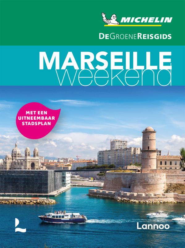
Reisgids Michelin groene gids weekend Marseille | Lannoo

De 3-sterrengids voor een geslaagde citytrip - Klein in formaat, groot in kwaliteit - De ideale gids voor wie slechts één compacte stadsgids in zijn tas wil stoppen en toch geen enkele bezienswaardigheid of topadres wil missen - Met een uitneembare stadsplattegrond - Elk hoofdstuk heeft zijn eigen kleur, zo vindt u feilloos de informatie die u zoekt

Met extra aandacht voor de must sees en must do's in Marseille

Marseille in 3 dagen: met een uitgewerkt reisplan

Meer dan 120 adressen om gezellig te tafelen, een glaasje te drinken, uit te gaan of te shoppen

De hoogtepunten van Marseille, met de handige Michelin sterrenbeoordeling

Overzichtelijke stadsplattegronden op basis van de beproefde Michelincartografie

€ 17.99
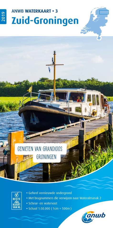
Waterkaart 03 ANWB Waterkaart Zuid-Groningen | ANWB Media

De ANWB Waterkaarten zijn geheel vernieuwd, de kaarten bedekken nu geheel Nederland, inclusief de Wadden en de Nederlandse Kust.

Hierdoor is de indeling veranderd en hebben de kaarten geen letters meer maar cijfers.

De kaarten zijn geactualiseerd, hebben een vernieuwde ondergrond en zijn gemaakt van water- en scheurvast papier.


Geen schipper gaat in Nederland het water op zonder de hulp van deze betrouwbare cartografische en nautische informatie van de ANWB, onmisbaar onderweg als je gaat varen!


Scheur- en Watervast!

Deze waterkaat bevat:

- betrouwbare, gedetailleerde nautische kaartinformatie

- brugnummers die verwijzen naar Wateralmanak 2

- maximum diepgang

- inzetkaarten belangrijkste havens en plaatsen

- maximum vaarsnelheden

- uitgebreide legenda

Abonneer op