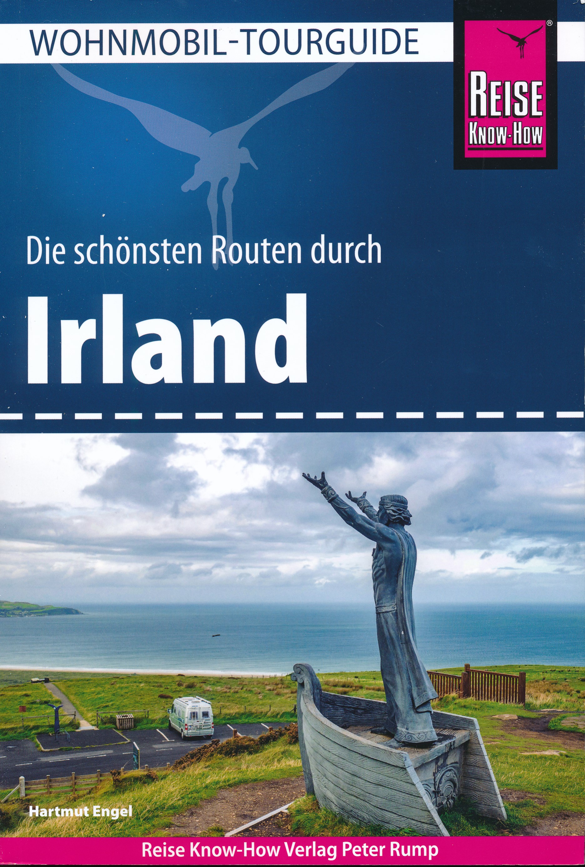
Een rijk geillustreerde reisgids met diepgaande teksten: één van de beste reisgidsen die er bestaan. Eerste deel bestaat uit een beschrijving van de unieke aspecten van de regio, daarna een deel echte reisgids en als afsluiting een deel met praktische informatie. De uitstekende informatie wordt vergezeld van prachtige foto's en heldere kaarten. Niet alleen om mee te nemen, maar ook om vooraf en zelfs achteraf weer in de stemming te komen.
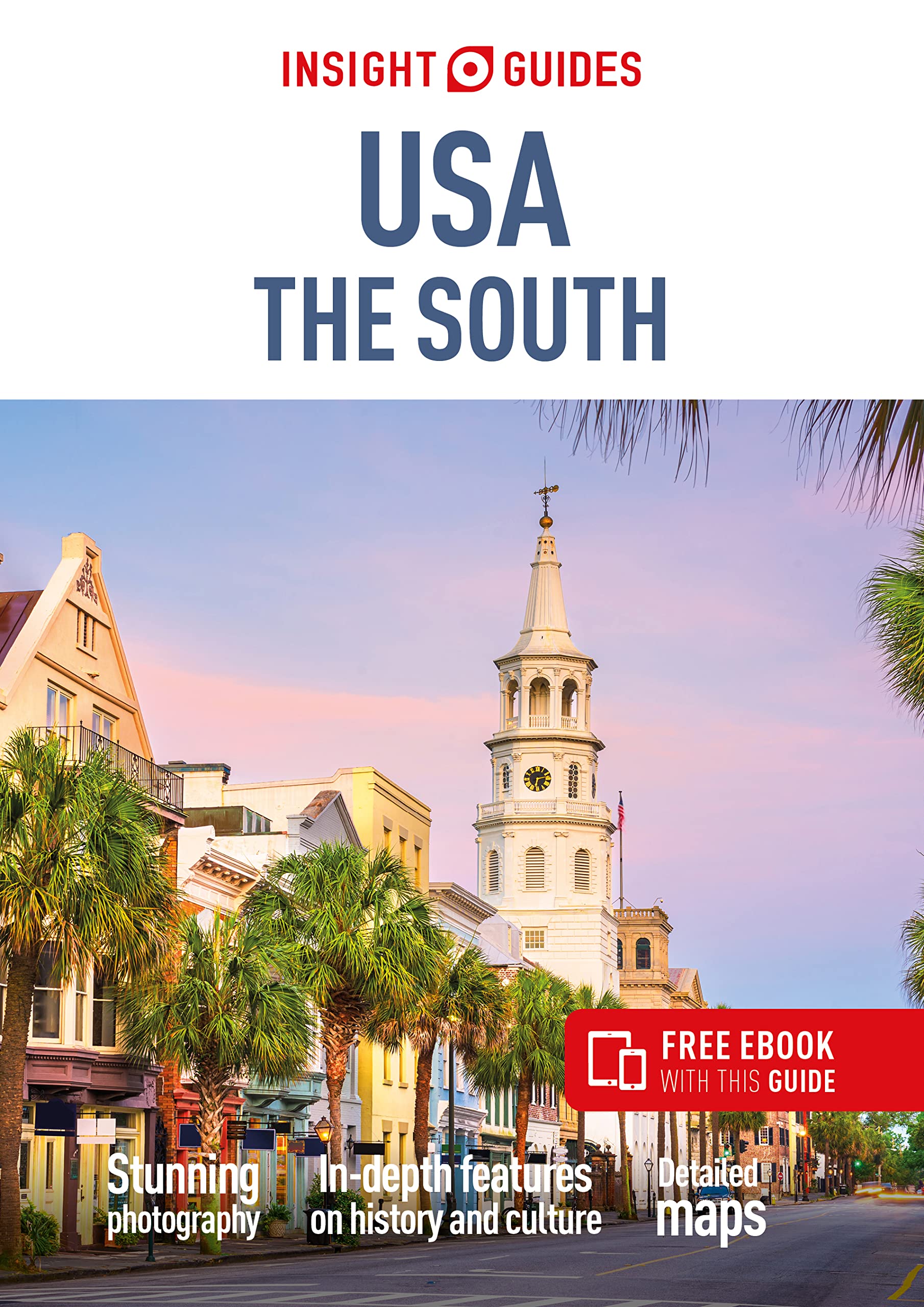
Insight Guide to USA The South is a pictorial travel guide in a magazine style providing answers to the key questions before or during your trip: deciding when to go to USA The South, choosing what to see, from exploring New Orleans to discovering the Grand Canyon or creating a travel plan to cover key places like Louisiana, Tennessee. This is an ideal travel guide for travellers seeking inspiration, in-depth cultural and historical information about USA The South as well as a great selection of places to see during your trip.
The Insight Guide USA THE SOUTH covers: Georgia, Alabama, Mississippi, the Gulf Coast, Louisiana, Arkansas, Tennessee, South Carolina, North Carolina and Virginia.
In this travel guide you will find:
IN-DEPTH CULTURAL AND HISTORICAL FEATURES
Created to explore the culture and the history of USA The South to get a greater understanding of its modern-day life, people and politics.
BEST OF
The top attractions and Editor's Choice highlighting the most special places to visit around USA The South.
CURATED PLACES, HIGH QUALITY MAPS
Geographically organised text cross-referenced against full-colour, high quality travel maps for quick orientation in Little Rock, Memphis and many more locations in USA The South.
COLOUR-CODED CHAPTERS
Every part of USA The South, from Georgia to Virginia has its own colour assigned for easy navigation.
TIPS AND FACTS
Up-to-date historical timeline and in-depth cultural background to Charleston as well as an introduction to New Orleans's Food and Drink and fun destination-specific features.
PRACTICAL TRAVEL INFORMATION
A-Z of useful advice on everything from when to go to USA The South, how to get there and how to get around, as well USA The South's climate, advice on tipping, etiquette and more.
STRIKING PICTURES
Features inspirational colour photography, including the stunning Edisto Island and the spectacular Luray Caverns.
FREE EBOOK
Free eBook download with every purchase of a printed book to access all the content from your phone or tablet, for on-the-road exploration.