Eindelijk zijn ze er weer: de Nederlandse versie van de alom bekende en gewaardeerde serie van Marco Polo.
Het is een handige en overzichtelijke, kleine reisgids voor een goede kennismaking met de vakantiebestemming. Globale uitklapkaart achterin, makkelijk binnenzakformaat. Toch best veel aandacht voor de toeristische hoogtepunten en leuke tips van en door de schrijvers die er vaker geweest zijn.
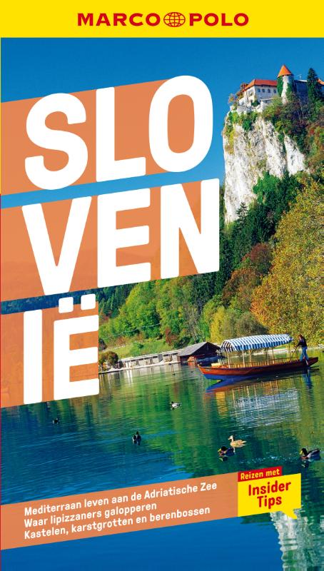
Marco Polo reisgids voor Slovenië! Handig pocket formaat, boordevol informatie, met plattegronden in de gids én uitneembare kaart. Met ‘insider tips’ om het échte Slovenië te ontdekken, de TOP 15 van bezienswaardigheden in één oogopslag, up-to-date informatie in overzichtelijke hoofdstukken: sightseeing, eten & drinken, winkelen, uitgaan, verblijf, routes & tochten, voor kinderen, feesten, festivals & evenementen, internet tips, praktische info van a tot z, een taalgidsje, plattegronden en straatnamenregister.