€ 7.95
Stadsplattegrond Pocket Street Map Dover | A-Z Map Company

Navigate your way around Dover with detailed street maps from A-Z

This up-to-date, folded A-Z street map includes all of the 1,500 streets in and around Dover as well as:


Postcode districts, one-way streets and car parks

Places of interest

On the reverse side there is a handy index to streets, places of interest, place and area names, park and ride sites, national rail stations, hospitals and hospices

Detailed coverage of an area extending from Napchester in the north to the harbour in the south, and from beyond Jubilee Way to the east and Kearsney in the west.


With its clear mapping at a scale of 5.5 inches to 1 mile, this is the perfect reference map for finding your way around Dover.

€ 7.95
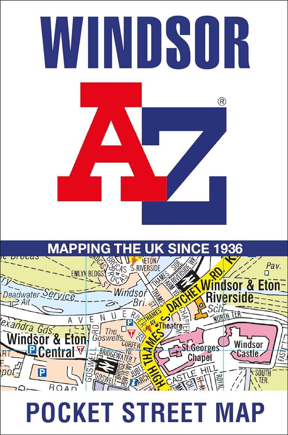
Stadsplattegrond Pocket Street Map Windsor | A-Z Map Company

Navigate your way around Windsor with detailed street maps from A-Z

This up-to-date, folded A-Z street map includes all of the 1,500 streets in and around Windsor.


Postcode districts, one-way streets and car parks

Places of interest

On the reverse there is a handy index to streets, places of interest, place and area names, park and ride sites, national rail stations, hospitals and hospices

Detailed coverage of an area extending from Chalvey and the M4 motorway in the north to Old Windsor in the south, and from Sunnymeads in the east to Oakley Green in the west.


The perfect reference map for finding your way around Windsor.

€ 7.95
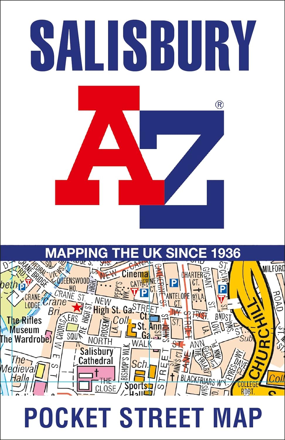
Stadsplattegrond Pocket Street Map Salisbury | A-Z Map Company

Navigate your way around Salisbury with detailed street maps from A-Z

This up-to-date, folded A-Z street map includes all of the 1,500 streets in and around Salisbury as well as:


Postcode districts, one-way streets and car parks

Places of interest

On the reverse side there is a handy index to streets, places of interest, place and area names, park and ride sites, national rail stations, hospitals and hospices

Detailed coverage of an area extending from Stratford sub Castle in the north to Salisbury District Hospital in the south, and from Laverstock in the east to Wilton Park in the west.

€ 7.95
Stadsplattegrond Pocket Street Map Torquay | A-Z Map Company

Navigate your way around Torquay with detailed street maps from A-Z

This up-to-date, folded A-Z street map includes all of the 1,000 streets in and around Torquay.

As well as Babbacombe and Oddicombe Beach, the other areas covered include Paignton, Preston, Hollicombe, Hele, Shiphay, Watcombe, Barton and Daccombe.


The large-scale street map includes the following:

• Places of interest

• Postcode districts, one-way streets and car parks

• Index to streets, places of interest, place and area names, park and ride sites, national rail stations, hospitals and hospices


The perfect reference map for finding your way around Torquay.

€ 7.95
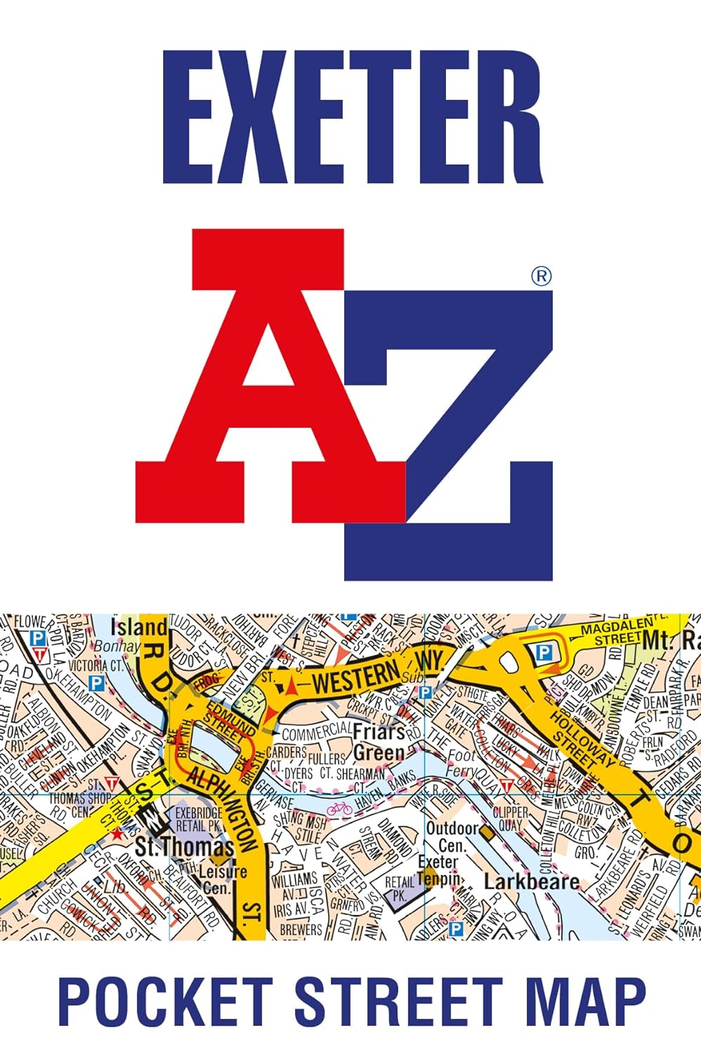
Pocket Street Map Exeter | A-Z Map Company

Navigate your way around Exeter with detailed street maps from A-Z

This up-to-date, folded A-Z street map includes over 2,100 streets in and around Exeter. As well as the central area of the University colleges and Cathedral, the other areas covered are Larkbeare, Friars Green, Barnfield, St Thomas and St David’s.


The large scale street map includes the following:


• Places of interest


• Postcode districts, one-way streets and car parks


• Index to streets, places of interest, place and area names, park and ride sites, national rail stations, hospitals and hospices


The perfect reference map for finding your way around Exeter.

€ 7.95
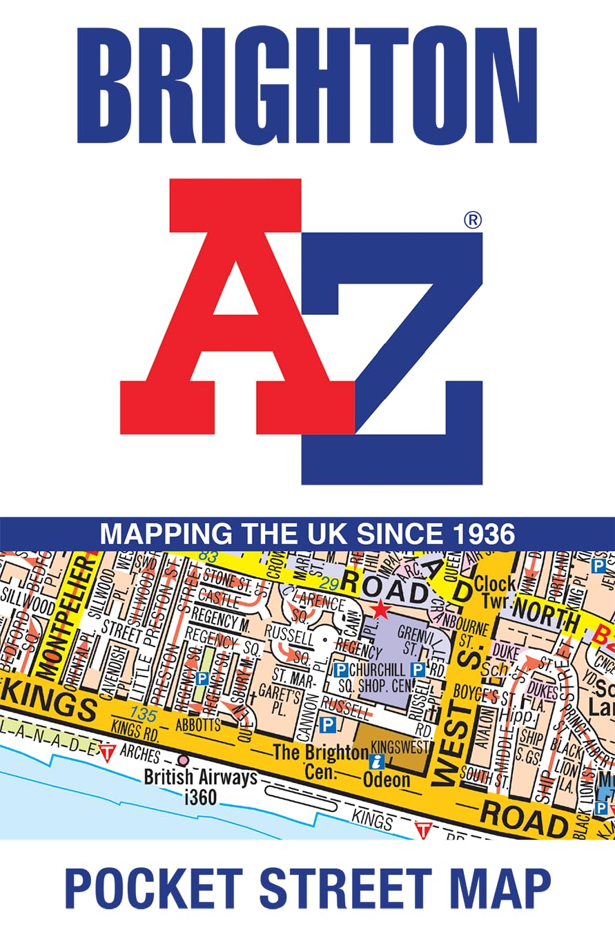
Stadsplattegrond Pocket Street Map Brighton | A-Z Map Company

Navigate your way around Brighton with detailed street maps from A-Z

This up-to-date, folded A-Z street map includes 2,600 streets in and around Brighton. As well as the seafront and Brighton Palace Pier, the other areas covered are The Lanes, Preston Park, the Artists’ Quarter, Hanover and Seven Dials.


The large scale street map includes:


• Places of interest


• One-way streets and car parks


• Index to streets, places of interest, place and area names, park and ride sites, national rail stations, hospitals and hospices


The perfect reference map for finding your way around Brighton.

€ 21.95
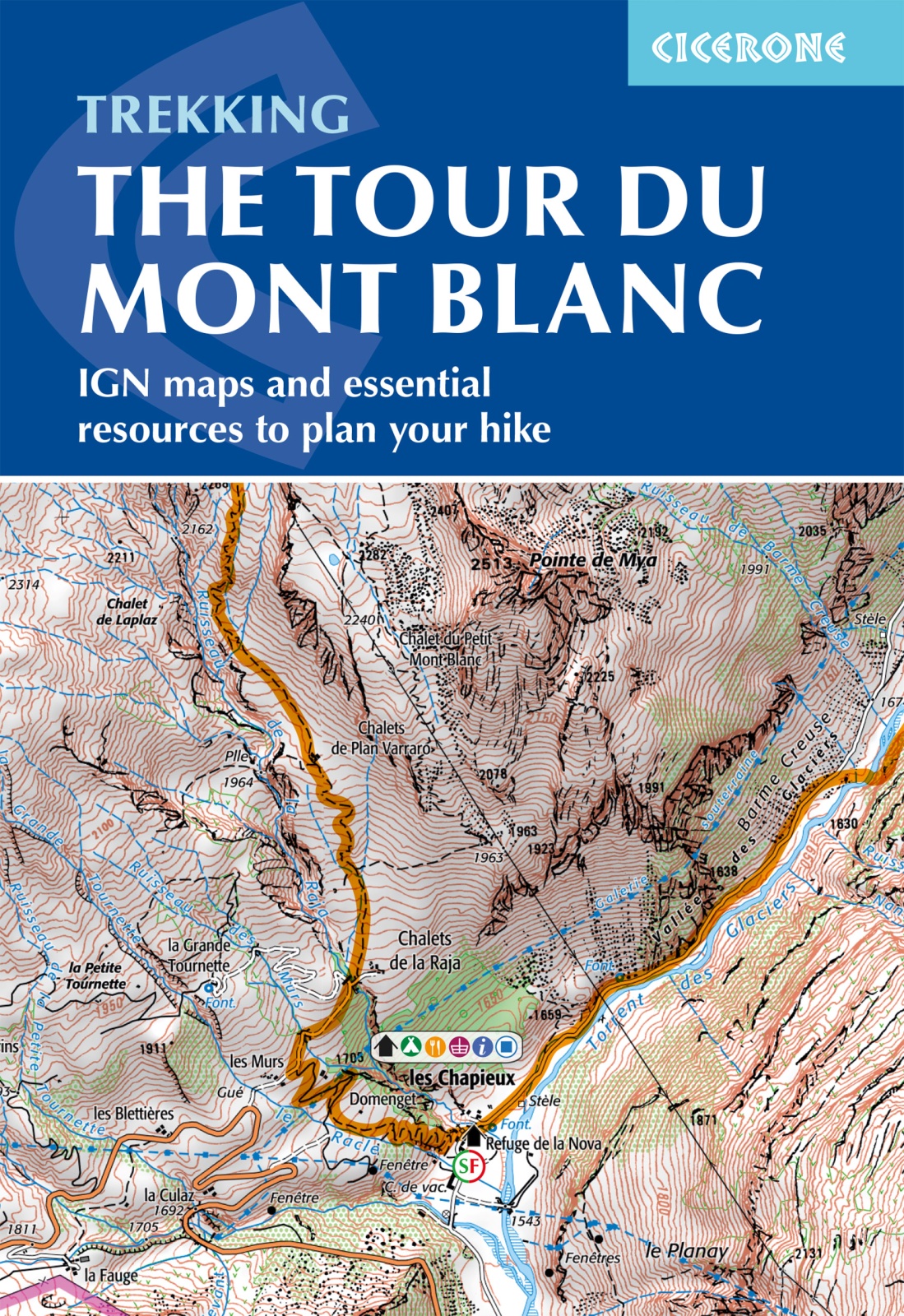
Wandelatlas Tour du Mont Blanc | Cicerone

A booklet of all the mapping needed to complete the Tour du Mont Blanc (TMB), a spectacular circuit around Mont Blanc, Western Europe's highest mountain. Covering 170km (105 miles), the TMB takes around 11 days to walk from its official start at Les Houches (France), passing through Courmayeur (Italy) and Champex (Switzerland) before returning to France via the Chamonix valley. A well-serviced introduction to high-level mountain trekking for walkers with good levels of fitness, it can also be run, fastpacked or hiked in 5–9 days.


The full route line is shown on 1:25,000 IGN maps

The map booklet can be used to walk the TMB in either direction

Handy facilities planner, route summary tables and accommodation listings help you plan your itinerary

Includes urban maps of Les Houches, Les Contamines, Courmayeur, Champex and Chamonix

Alternative stages via Col de Tricot (Stage 1A) and Fenêtre d'Arpette (Stage 8A) are also provided

An accompanying Cicerone guidebook – Trekking the Tour du Mont Blanc – is also available

GPX files available to download

€ 19.90
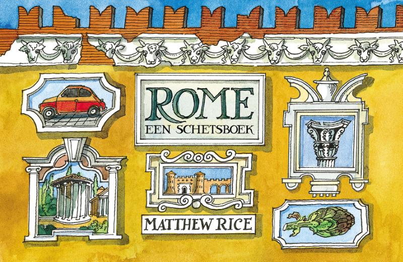
Reisgids Rome | HL Books

Gewapend met schetsboek en verfdoos, wandelt Matthew Rice door Rome en toont ons de Eeuwige Stad in volle glorie.

€ 11.95
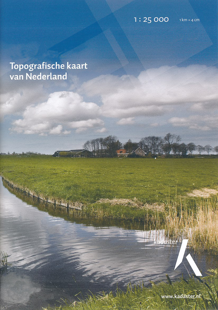
Topografische kaart - Wandelkaart 52D Helenaveen | Kadaster

De meest gedetailleerde kaart die via de verkoopkanalen verkrijgbaar is. Gemaakt door de Nederlandse Topografische dienst bevat deze kaart alle topografische elementen van het landschap en geeft daarmee een nauwkeurig beeld van het terrein. De meeste kaarten hebben een kaartbeeld dat overeenkomt met 12,5 x 10 kilometer in werkelijkheid.

Naast gebruik in professionele kringen, wordt de topografische kaart veel gebruikt voor o.a. GPS gebruik (coordinaten staan keurig in een km-grid weergegeven), scouting en survivaltraining, maar ook door een steeds groter wordende groep wandelaars. Nu de toeristische wandelkaarten vreemd genoeg van steeds mindere kwaliteit worden, blijft de topografische kaart het enige alternatief.

America Evertsoord Helenaveen Kronenberg Meterik

€ 24.50
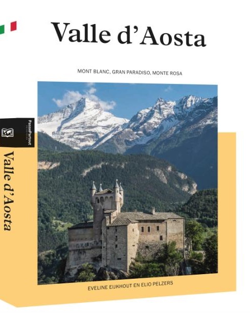
Reisgids PassePartout Valle d'Aosta | Edicola

Ingepakt tussen de hoogste Alpentoppen ligt het indrukwekkende Val d’Aosta op het kruispunt van Italië, Frankrijk en Zwitserland. De bergrivier Dora Baltea vormt de centrale vallei vanaf de flanken van Europa’s hoogste berg, de Mont Blanc. Tal van zijdalen met een ongekende variatie komen uit op deze vallei. Van woest en onherbergzaam tot lieflijk en romantisch. Wijngaarden, kastelen, verdedigingstorens, authentieke dorpen, een voormalige Romeinse stad, een uniek nationaal park, een rijke bergkeuken met Franse en Italiaanse invloeden, fraaie en uitdagende wandelgebieden, stilte en rust: dit alles komt de bezoeker tegen. Klinkende namen als de Grote Sint Bernard, Gran Paradiso en Matterhorn behoren tot deze verrukkelijke en fascinerende bergregio. En niet te vergeten de Monte Rosa, bekend van de schrijver Paolo Cognetti. Een rijke Alpenflora, ooit de laatste schuilplek voor de steenbok, een steenarend die langs de bergwand scheert. Dat is Valle d’Aosta in enkele woorden. Eveline Eijkhout is fotograaf, kunsthistoricus en loopbaancoach. Elio Pelzers is een ervaren reisjournalist, die zich zowel dichtbij huis als in verafgelegen streken thuis voelt. Valle d’Aosta heeft hun hart gestolen.

Abonneer op