
Reisgids Eyewitness Travel Florence & Tuscany | Dorling Kindersley Pub
€ 20,95 De Zwerver →

De Cultuur Bewust!-gids geeft toeristen en zakenlieden belangrijke informatie met betrekking tot de cultuur van al…
De Cultuur Bewust!-gids geeft toeristen en zakenlieden belangrijke informatie met betrekking tot de cultuur van al…

De Cultuur Bewust!-gids geeft toeristen en zakenlieden belangrijke informatie met betrekking tot de cultuur van al…
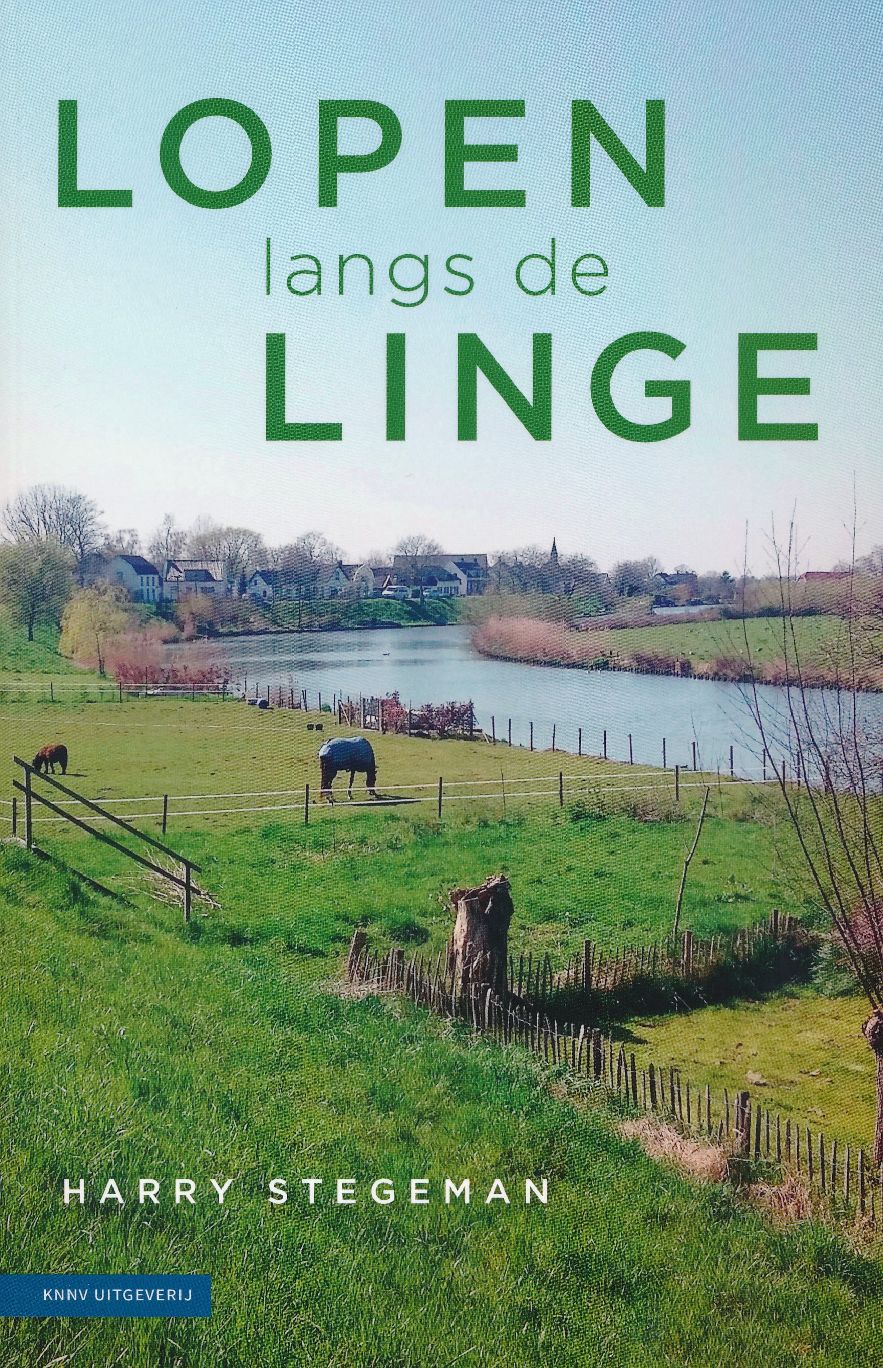
Lopen langs de Linge is een prachtige verhalenbundel over een rivier in een karakteristiek Nederlands landschap. D…
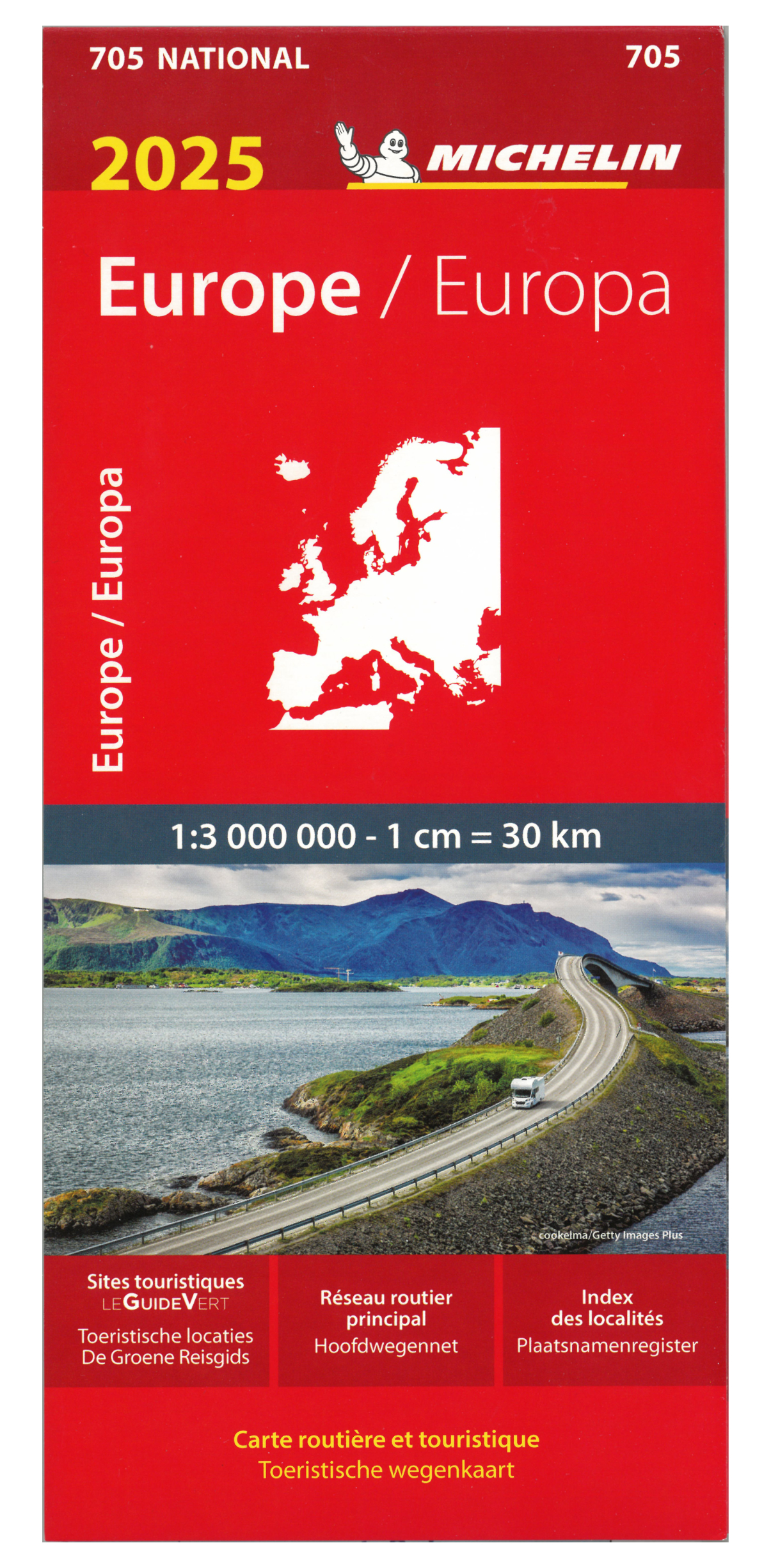
Zoals je van Michelin mag verwachten is deze kaart zeer overzichtelijk en heeft een duidelijk helder kaartbeeld. D…
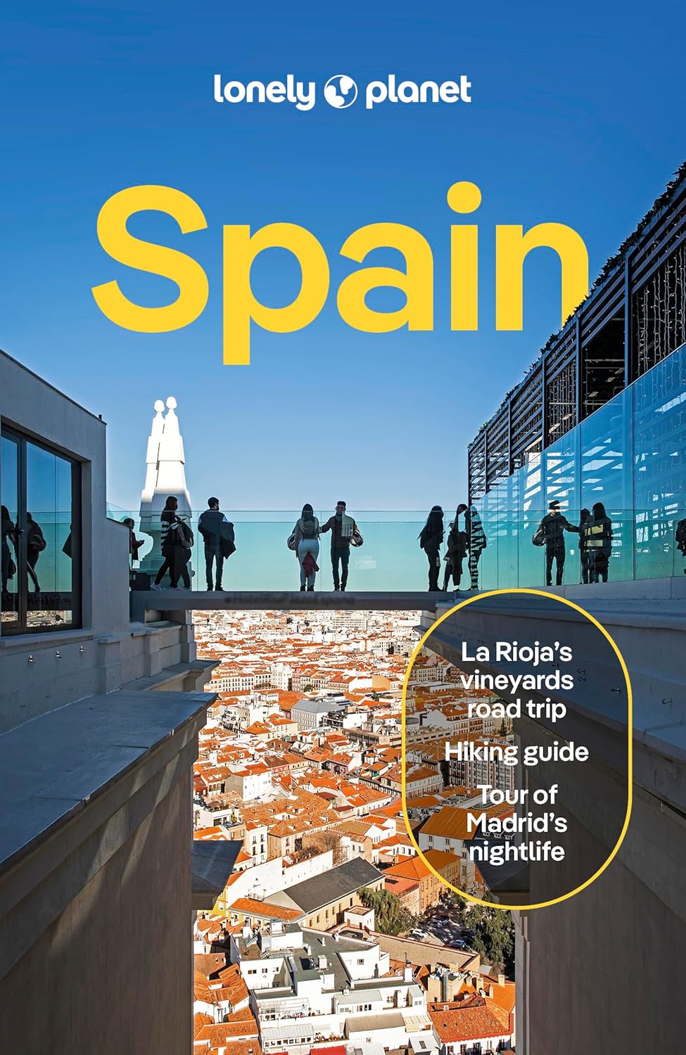
De perfecte reisgids voor zowel de georganiseerde als de zelfstandige reiziger. Naast een algemene inleiding van h…

Zoals je van Michelin mag verwachten is deze kaart zeer overzichtelijk en heeft een duidelijk helder kaartbeeld. D…