Wandelkaart 44 Alpenvereinskarte Hochalmspitze - Ankogel | Alpenverein
€ 13,95De beste en meest gedetailleerde kaarten van met name de Duitse en Oostenrijkse alpen: wandelroutes zijn naar zwaa…
De Zwerver →
De beste en meest gedetailleerde kaarten van met name de Duitse en Oostenrijkse alpen: wandelroutes zijn naar zwaa…
Handige reisgids op zakformaat met korte, bondige en duidelijke informatie over de eilanden en bezienswaardige ple…
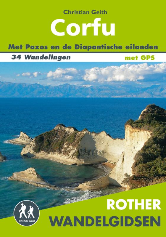
De Rother Wandelgids Corfu beschrijft 34 wandelroutes op dit mooie eiland. Alle dagwandelingen hebben betrouwb…
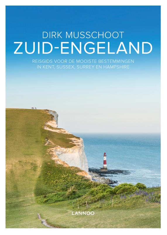
Maak op een onovertroffen wijze kennis met de regio's Kent, East & West Sussex, Surrey, Hampshire en het eiland Wi…
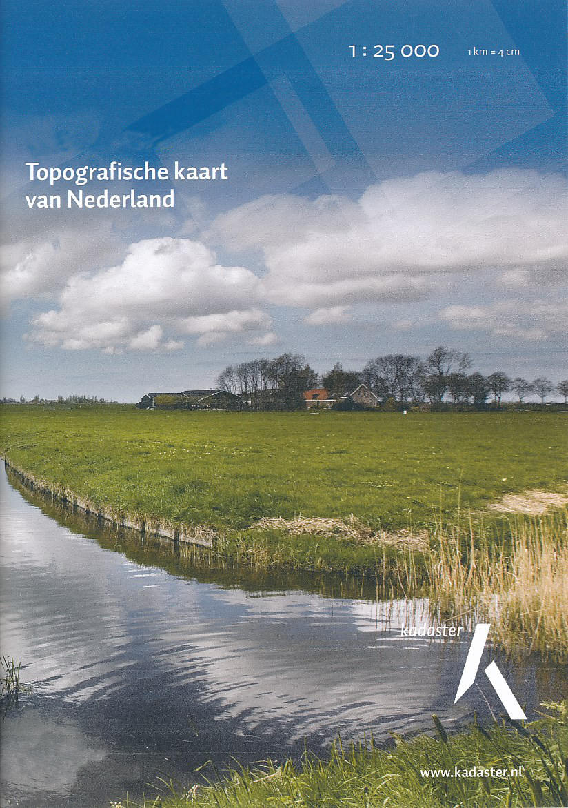
De meest gedetailleerde kaart die via de verkoopkanalen verkrijgbaar is. Gemaakt door de Nederlandse Topografische…

De meest gedetailleerde kaart die via de verkoopkanalen verkrijgbaar is. Gemaakt door de Nederlandse Topografische…
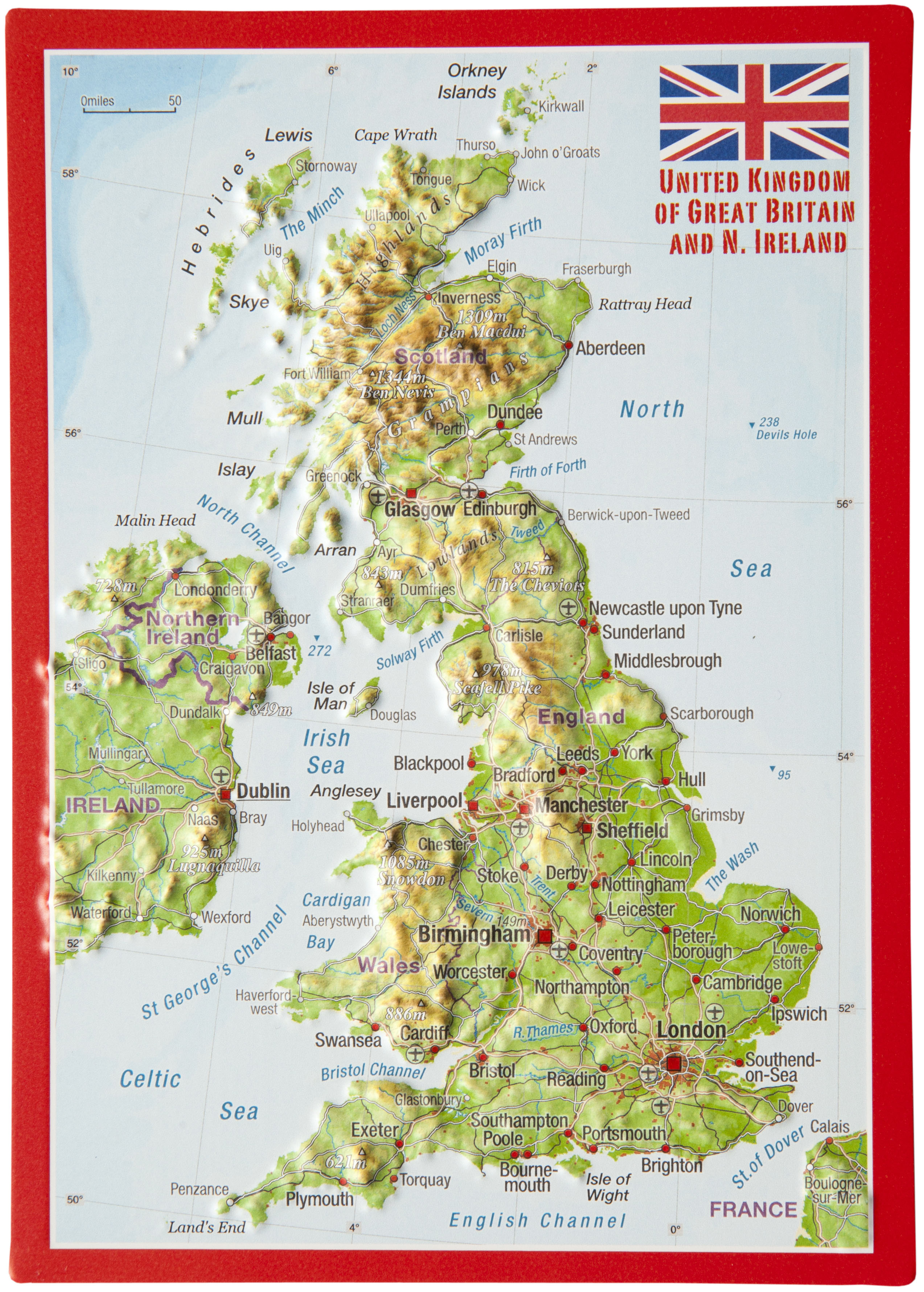
Een reliëfpostkaartje dat zo verstuurd kan worden. - Visueel zeer aantrekkelijk. - Zeer dicht bij de werkelij…